
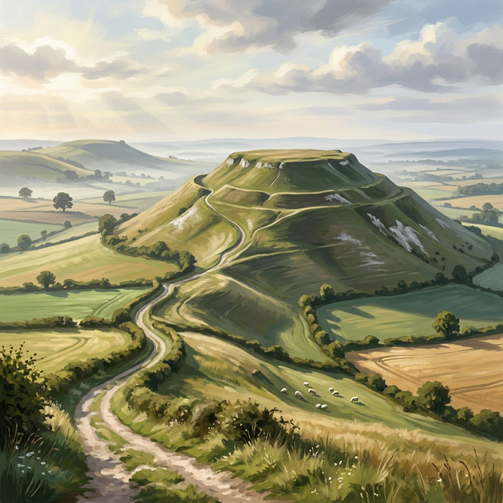
Cley Hill Circular
A compact hill walk with a wonderfully clean profile and big Wiltshire views.
3moors Verified
This route has been reviewed and prepared by 3moors using mapping, terrain analysis, local knowledge and editorial review.
About this walk
Some hills just feel right, and Cley Hill is one of them.
Rising cleanly from the surrounding farmland, Cley Hill has a near-perfect shape. It’s compact, clearly defined, and gives you that sense of “a proper walk” without needing a full day to do it.
The route circles the base before climbing steadily to the top. The paths are simple, the lines obvious, and the whole experience feels uncluttered — just you, the hill, and the wide Wiltshire landscape stretching out in every direction.
As you gain height, the views open quickly. Fields, hedgerows, and distant ridges unfold beneath you, and from the summit the sense of space is surprisingly big for such a modest climb.
There’s something almost sculptural about Cley Hill. The slopes are smooth, the summit open, and the walk has a clarity that makes it ideal for a quick outing, a leg-stretcher, or a relaxed evening climb.
Best time for light
Cley Hill is brilliant at sunset. The low light catches the slopes and throws long shadows across the surrounding farmland, giving the hill even more definition.
Who this walk is for
Who this walk is for
- ✔Beginners
- ✔Walkers
- ✔Photographers
- ✔Those wanting a short hill walk
- ✖Strong wind conditions
The Experience
• Effort: Easy, short climb
• Highlight: Clean hill shape and wide views
• Start: Cley Hill car park
• Terrain: Grass slopes, hilltop paths
• Best for: Quick, satisfying outings
Elevation Profile
Illustrative profileRoute Summary
• Start from parking near the base of Cley Hill
• Follow paths around the lower slopes
• Climb steadily to the summit on clear grassy tracks
• Take time to enjoy the views from the top
• Descend via a circular route back to the start
Landscape & History
Cley Hill is a prominent geological feature, a Greensand outcrop that stands apart from the surrounding clay landscape, which explains its distinctive shape.
It also has a more recent historical layer. The hill was used during the Second World War as a decoy site, with lights and structures designed to draw enemy bombers away from nearby towns. Remains of this period can still be found if you look closely.
The result is a place that feels both ancient and quietly shaped by more modern history.
Safety & Conditions
Weather
Check the forecast before setting out. Wind, rain or low cloud can quickly change route character.
Navigation
Straightforward in good visibility on most routes, but open moor, coast or downland sections need attention.
Livestock & Wildlife
Livestock may be present on some paths and in adjoining fields; keep dogs under close control.
Footwear
Wear sturdy footwear with grip, especially where paths are muddy, rocky, chalky or rooty.
Variations
• Keep it short with a direct up-and-down route
• Extend by exploring surrounding countryside paths
• Ideal for repeat visits, different light completely changes the feel
Access & Parking
• Parking available near Cley Hill Car Park
• Easy roadside access
• No facilities on site, simple, open setting
3moors Community
Recent conditions or questions about this walk?
Join the 3moors Community to ask about path conditions, parking, wildlife sightings and local tips.
Join the 3moors CommunityDiscussion takes place in our Facebook community.
Join the 3moors Community for path conditions & local tips.
JoinWeather near Cley Hill
Weather forecast temporarily unavailable. Check back shortly.
Wildlife you might see
Common sightings along this route — based on habitat and recent reports
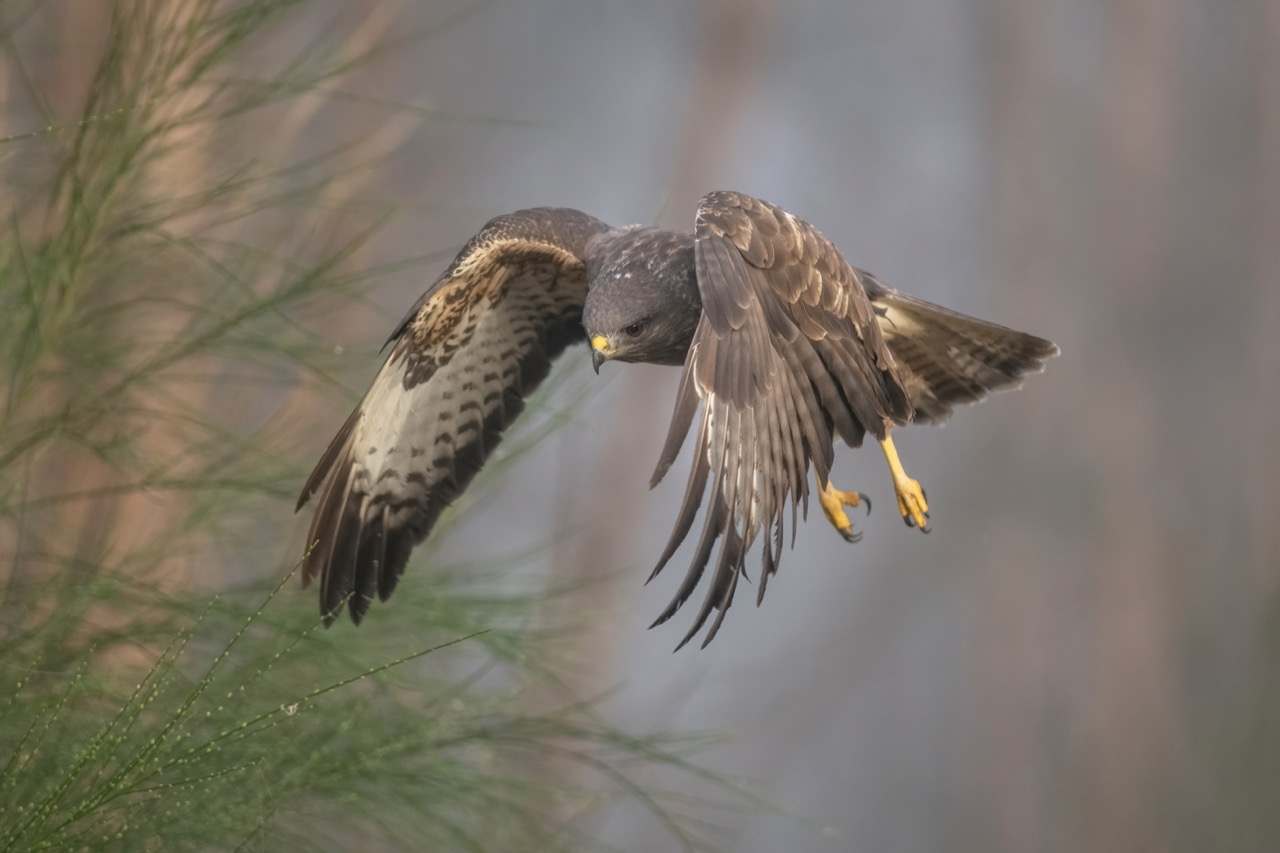 Peak season
Common Buzzard
bird
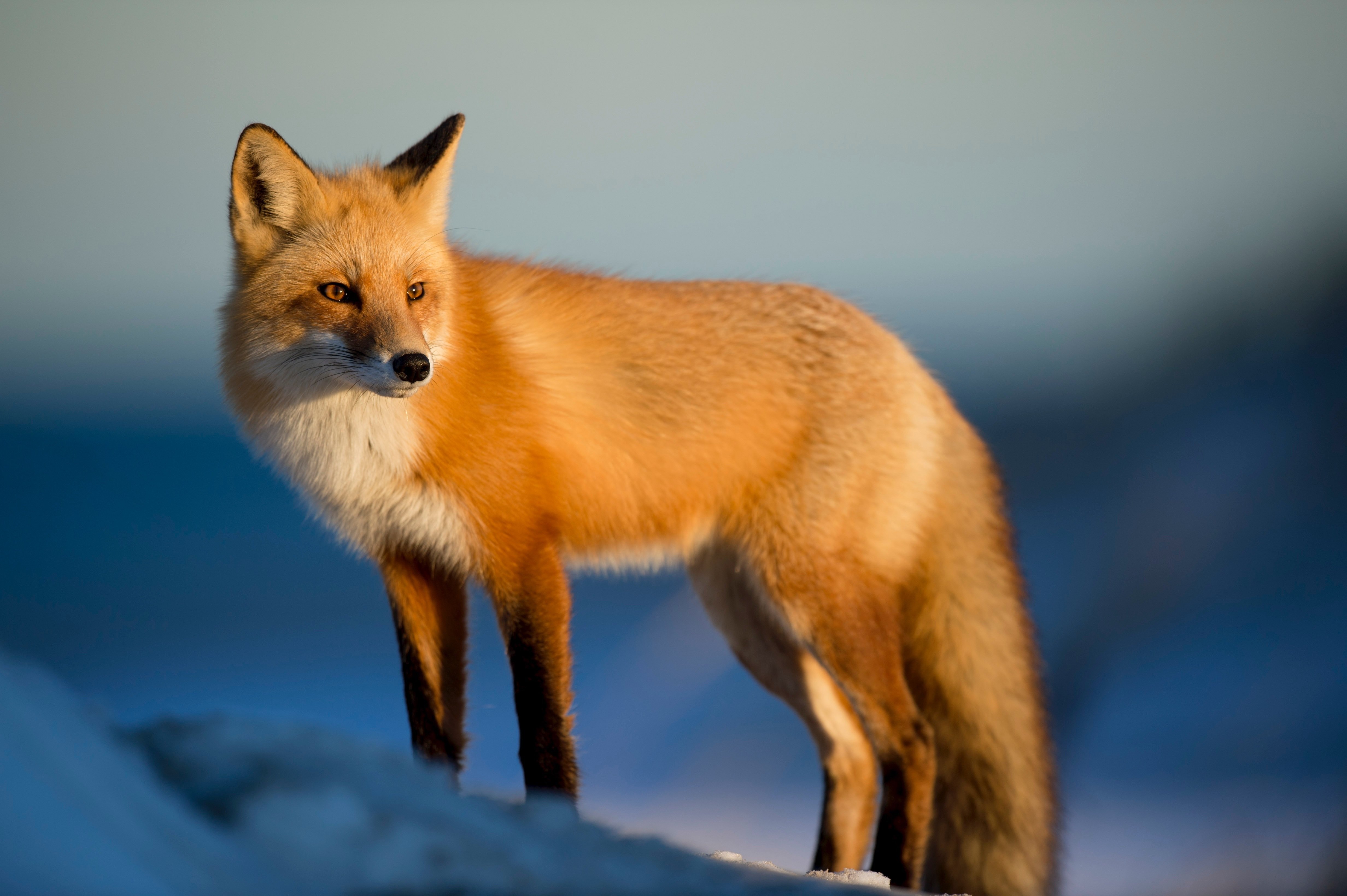
Fox
mammal
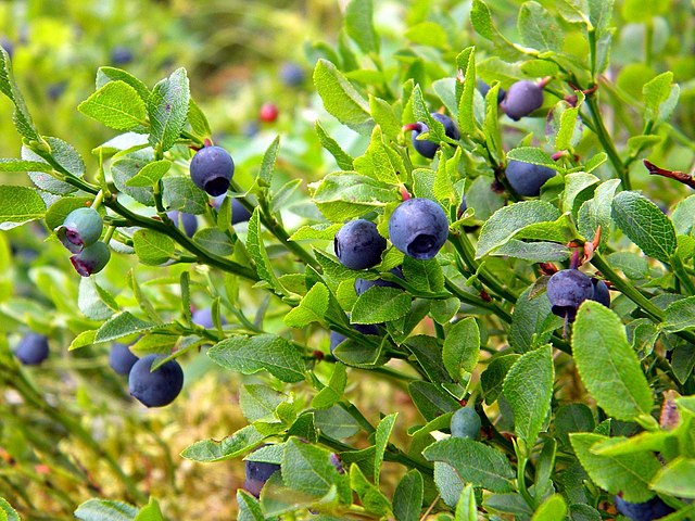 Season approaching
Bilberry
plant
 Peak season
Moorland Fungi
fungi
 Season approaching
Adder
reptile
Recent sightings on this walk
Real sightings submitted by walkers on this route
No sightings reported for this walk yet — be the first to add one.
Walk information is based on direct experience and local knowledge. Conditions on the moor can change — always use your own judgement.
More walks to explore
All walks
Buckfast Abbey Riverside Walk
A gentle riverside walk from Buckfast Abbey along the River Dart with woodland, wildlife and peaceful views.
White Horse Trail at Cherhill
Short, steep walk to the Cherhill White Horse with sweeping Wiltshire views.
Langford Lakes Waterside Walk
Peaceful lakeside walk with rich wildlife and easy paths.