

South West Coast Path: Westward Ho! to Padstow
A challenging 124 km South West Coast Path route from Westward Ho! to Padstow via Clovelly, Hartland, Bude, Boscastle and Port Isaac, with stage planner, safety notes, maps and Rock to Padstow ferry guidance.
3moors Verified
This route has been reviewed and prepared by 3moors using mapping, terrain analysis, local knowledge and editorial review.
About this walk
This demanding section of the South West Coast Path runs from the surf beaches of Westward Ho! to the harbour town of Padstow, linking North Devon and North Cornwall on one unforgettable coastal journey. Expect steep cliff climbs, remote headlands, fishing villages, dramatic Atlantic views and a classic finale by the Camel Estuary.
The Experience
A knockout long-distance coastal traverse from Westward Ho! to Padstow. Expect constant short, sharp climbs, huge Atlantic views, smugglers' coves, working harbours and famous headlands including Hartland and Pentire. Tough but unforgettable, best split into 5 to 6 stages with overnight stops where services exist. Finish with the Rock to Padstow ferry if running.
Elevation Profile
Illustrative profileRoute Summary
The route begins at Westward Ho! and follows rolling cliff paths to Clovelly. From there it turns wilder across the Hartland Peninsula, reaching Hartland Quay before a long, committing stretch to Bude. The path continues south past Widemouth Bay and Crackington Haven to Boscastle, then follows dramatic Cornish cliffs to Port Isaac. The final section passes Pentire Head, Daymer Bay and Polzeath before reaching Rock, where the passenger ferry crosses to Padstow when conditions allow.
Landscape & History
This coast is rich in fishing heritage, shipwreck stories, smuggling lore and lifeboat history. Clovelly and Port Isaac remain strongly shaped by their working harbour past, while Boscastle is famous for its dramatic natural harbour. The Hartland Peninsula and Pentire Head provide some of the most striking cliff scenery on the North Devon and North Cornwall coast.
Safety & Conditions
Weather
This is a highly exposed Atlantic route. Carry waterproofs, warm layers and spare insulation even in fair weather, and be prepared for rapid changes, strong winds and sea mist.
Navigation
The route is usually well waymarked, but the length and exposure of the stages mean you should still carry the relevant OS maps, a compass or a GPS track. Diversions can occur.
Livestock & Wildlife
Keep dogs on leads near livestock and well away from cliff edges. Sheep and cattle may be present on coastal sections.
Footwear
Wear sturdy walking boots or trail shoes with reliable grip. Many sections include steep steps, muddy descents, rocky path surfaces and occasional shingle or sand.
Variations
Shorter options include Westward Ho! to Clovelly as a weekend taster, Hartland Quay to Morwenstow or Bude for a wild day stage, and a family-friendly Polzeath to Pentire Head outing. If the Rock to Padstow ferry is not running, detour inland via Wadebridge and use the Camel Trail to reach Padstow.
Access & Parking
Start at Westward Ho! with car parks, shops and cafes nearby. Finish in Padstow or Rock if the ferry is suspended. Bus links connect several stage points but frequencies vary by season. Follow the Countryside Code, keep clear of cliff edges and do not wild camp without permission.
3moors Community
Recent conditions or questions about this walk?
Join the 3moors Community to ask about path conditions, parking, wildlife sightings and local tips.
Join the 3moors CommunityDiscussion takes place in our Facebook community.
Join the 3moors Community for path conditions & local tips.
JoinWildlife you might see
Common sightings along this route — based on habitat and recent reports
 Peak season
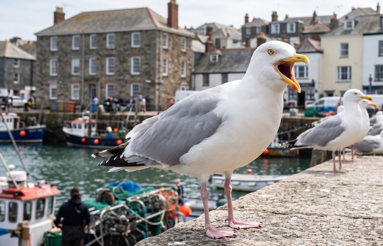
Herring Gull
marine-life
 Peak season
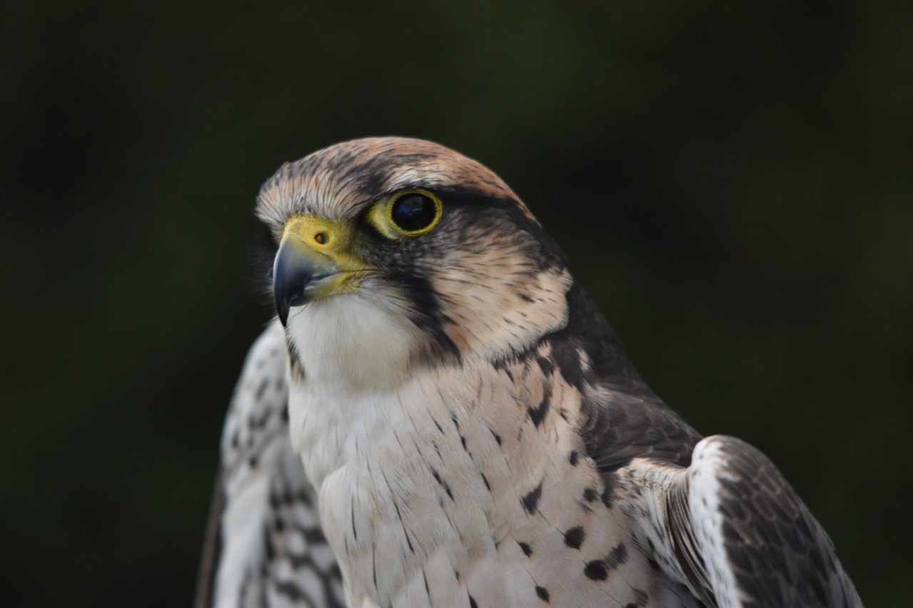
Peregrine Falcon
bird

Gorse
plant

Fox
mammal
 Peak season
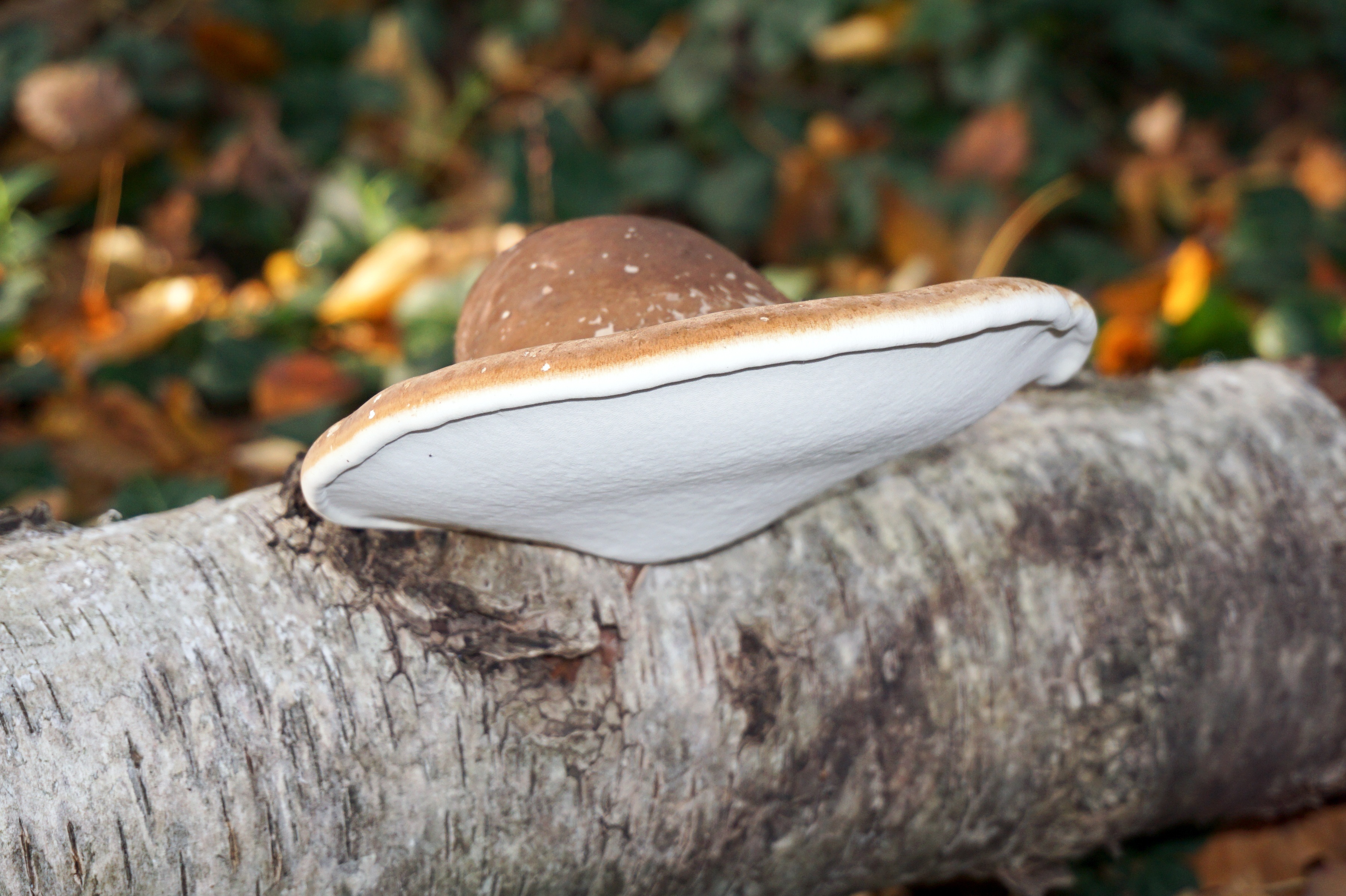
Birch Polypore
fungi
Recent sightings on this walk
Real sightings submitted by walkers on this route
No sightings reported for this walk yet — be the first to add one.
Walk information is based on direct experience and local knowledge. Conditions on the moor can change — always use your own judgement.
More walks to explore
All walks
Buckfast Abbey Riverside Walk
A gentle riverside walk from Buckfast Abbey along the River Dart with woodland, wildlife and peaceful views.

White Horse Trail at Cherhill
Short, steep walk to the Cherhill White Horse with sweeping Wiltshire views.
Langford Lakes Waterside Walk
Peaceful lakeside walk with rich wildlife and easy paths.