
Bodmin Moor · South East Cornwall coast
Cawsand & Kingsand
Twin Cornish villages with narrow lanes, colourful cottages and sheltered coastal atmosphere.
About
Cawsand & Kingsand
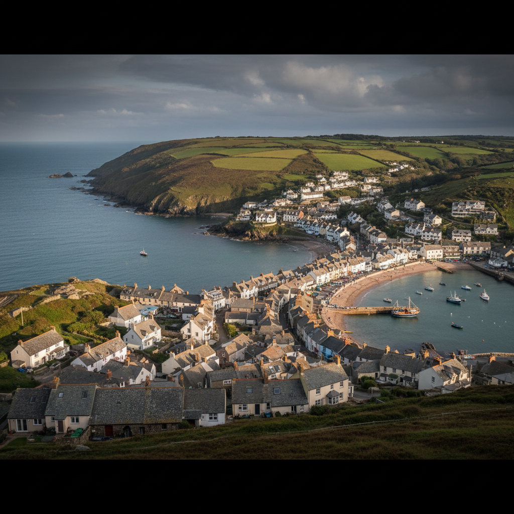
Cawsand and Kingsand sit at the southern tip of the Rame Peninsula in south-east Cornwall, a finger of land that pushes into Plymouth Sound and faces the open Channel with a directness that most Cornish villages are spared. The two settlements run into one another without clear boundary, separated only by a line in the pavement that marks the old county border between Cornwall and Devon. That border is gone in any meaningful sense, but the villages still carry a slight differentiation of character: Kingsand the slightly more open-faced of the two, Cawsand folding inward around its small square and slipway.
The approach by road is long and narrow, the lanes funnelling down through the peninsula with high hedgerows blocking any view of the sea until the last possible moment. Then the water appears suddenly, wide and grey-green, with Drake's Island sitting squat in the Sound and the distant smudge of Devon beyond. It is a view that arrives before you are ready for it, which is part of the point.
Both villages face west across the Sound, and their exposure is the defining fact of their character. When a westerly comes in hard, the sea beyond the beach loses its composure entirely, and the bay, which looks sheltered on a map, offers less protection than expected. The light that falls here in the afternoons is sea-reflected and particular, bouncing off the water in a way that makes the colour-washed cottages glow with an almost theatrical intensity. Photographers tend to notice this and return.
People come here for the quietness, the beach, the lanes too narrow for coaches, and the sense of being somewhere that has not remade itself for visitors. There are no arcades, no chain restaurants, no obvious concessions to tourism at scale. What there is instead is a small beach, a handful of pubs and cafés, and a coast path that extends in both directions with consistent rewards.
Character
The feel of Cawsand & Kingsand
The built character of both villages is dense and intimate. Cottages press close to the lanes and to one another, their rendered frontages painted in shades of ochre, pale blue, terracotta and cream. The streets are too narrow for two cars to pass with ease, which keeps the pace of movement honest and the atmosphere unhurried. At the centre of Cawsand, a small square opens up just enough to feel like a gathering place rather than a bottleneck, with the beach a short drop below the wall. Kingsand's waterfront is slightly more open, its broader pavement offering a clear line of sight across the Sound on days when the water is calm enough to read.
The wildlife along this stretch of coast is quietly varied and often overlooked. Cormorants are a constant presence, spreading their wings on the rocks below the sea wall in the particular arrested pose that makes them look like something heraldic rather than functional. Grey herons work the tideline with the unhurried deliberateness of birds that have learned patience. In summer, house martins thread the air above the rooftops, using the tall-sided lanes as a kind of flight corridor. Out in the Sound, gannets sometimes pass in loose procession, heading west, their white forms catching the light as they tilt into a dive. The sea itself is rarely empty of bird life
even on overcast November days, something is always moving at the waterline.
The village pubs and the occasional fishing boat pulled up on the beach are the only visible remnants of a working past that was once considerably more active. Cawsand had a significant smuggling trade through the eighteenth and nineteenth centuries, using the warren of connecting lanes and covered alleyways to move contraband inland. That history has left a physical legacy: passages that cut between buildings at unexpected angles, low archways and half-hidden doorways that suggest a village designed for discretion as much as habitation.
First-hand visit
Keith's Take
The cormorants were out on the rocks when the light was still low, and the village hadn't quite woken up yet. That hour before the ferry arrived from Plymouth was worth the drive alone.
The smell of kelp and cold salt comes before the sea does, somewhere in the last hundred metres of lane before the square opens up. Then the water is simply there, wide and grey and occupying more of the view than expected, with a cormorant standing on the rocks below the wall in its usual cruciform pose, indifferent to the arrival of another visitor.
Moving through Cawsand takes time in the most useful sense. The lanes double back, narrow to near-impassable width, and then open again unexpectedly onto a view of the Sound or a painted cottage frontage that stops you. The passages between the older buildings at the heart of the village reward a slower navigation: low archways lead through to small courtyards, and the geometry of the place suggests purposes other than simple habitation. The boundary with Kingsand arrives without drama, a line underfoot and then a slightly different quality of light as the frontage opens towards the water. The gannets, when they passed offshore in a loose line of six or seven, were the white-and-black of something purposeful heading west. Everything else was moving at approximately walking pace.
The sea wall at low tide is the best place to stop and let the place accumulate. The shingle makes its own sound against the receding water, low and drawn-out, and the shipping on the Sound moves with the measured slowness of objects seen at distance. The light in the late afternoon falls directly onto the painted frontages behind you, and if you turn at the right moment, the colour of the cottages and the colour of the water achieve a brief and specific correspondence that is genuinely worth waiting for.
Keith's Take — a first-hand account from the 3moors team
Map & Getting Here
Getting to Cawsand & Kingsand
What to expect
A natural way to spend time here
The beach at Cawsand is a short stretch of coarse sand and shingle, banked against the sea wall at high tide and widening as the water pulls back. The approach from the square takes less than a minute, but the drop in scale is immediate: from the enclosed lanes to open sky and water in a few steps. The coast path in both directions is accessible and well-worn, though the route south towards Rame Head climbs steadily and the cliff edge becomes more serious as you move away from the village.
On still days, the Sound is a particular shade of grey-blue that deepens towards the channel. The sound of the water against the shingle is low and rhythmic, distinct from the sharper noise of surf on sand, and it sets the pace for everything else. Boats creak at their moorings. Gulls pass without urgency. The smell is salt and weed and occasionally the faint diesel note of a working engine, which is honest and appropriate.
The place rewards a patient approach. Sitting longer than you planned, watching the light shift across the water in the late afternoon, tends to be more satisfying than covering ground. The ferry to Plymouth runs regularly and takes about twenty minutes each way
making a return crossing simply to see the village from the water is not a wasted use of an hour.
What makes it stand out
What makes Cawsand & Kingsand special
What separates Cawsand and Kingsand from comparable villages along the south Cornish coast is the particular quality of their position within Plymouth Sound. They are not facing open ocean in the way that Sennen or Polzeath do
the Sound provides a frame, a middle distance, a constant subject. Watching shipping move through that frame, from naval vessels to container ships to small sailing dinghies tacking across the wind, gives the place a kind of theatre that is specific to this geography. You sit on the sea wall and watch the water in a way that feels purposeful rather than passive.
The absence of a road that connects Cawsand directly to Plymouth by car matters more than it might seem. The only fast crossing is the passenger ferry from Plymouth Barbican, and that means visitors who do not want to drive the long way round via Torpoint arrive by water. This filters the crowd in a useful way. The people on the beach on a summer afternoon tend to be those who chose the ferry for the pleasure of it, or who drove deliberately, lane by lane, through the peninsula. Neither group is in a hurry. The result is a beach atmosphere that is noticeably different from that of more accessible coves: quieter in disposition, more locally inhabited, less likely to be overlaid with the noise of day-trippers who have simply followed their satnav to the nearest available coast.
Don't miss
Things to see and do
Take the passenger ferry from Plymouth Barbican rather than driving, and let the village arrive by water as it was always meant to.
Follow the coast path south from Cawsand towards Rame Head, where the chapel on the headland comes into view long before you reach it.
Watch for cormorants drying their wings on the rocks below the sea wall, particularly in the hour after high tide.
Stand at the old county boundary line in the lane between the two villages, where a stone or painted marker indicates where Cornwall once ended and Devon began.
Sit on the sea wall at Cawsand and watch the shipping traffic moving through the Sound, from Plymouth naval base out towards open water.
Walk up through the back lanes of Cawsand to find the covered passages and low archways that cut between buildings, remnants of the village's smuggling geography.
Return in the late afternoon when the westerly light falls directly onto the painted cottage fronts and the water behind you turns the colour of old pewter.
Walks from here
Getting out from Cawsand & Kingsand
The coast path running south from Cawsand towards Rame Head is the most rewarding walk from the village and one of the finer stretches of coast in south-east Cornwall. The path climbs from the village and follows the cliff edge for roughly two miles to the headland, passing through gorse and bracken with consistent views across the Channel. Rame Head itself is a significant landmark: a narrow promontory with a small medieval chapel at its tip, thought to date from the fourteenth century, sitting above steep drops on three sides. The return to Cawsand by the same route takes less than two hours at an unhurried pace.
For those wanting a longer circuit, the coast path continues north from Kingsand past Picklecombe Point towards Cremyll and the Mount Edgcumbe Country Park, where the grounds run to the water's edge and contain formal gardens, long grassed terraces, and woodland paths. From Cremyll a passenger ferry crosses the short stretch of water to Plymouth's Stonehouse, which makes a point-to-point route possible without backtracking. The full distance from Cawsand to Cremyll is manageable in a morning, and the park provides a genuine change of register after the open cliff path.
Good to know
Before you go
The lanes into both villages are single-track for much of their length, and parking is limited. Arriving early on summer weekends is not merely advisable but genuinely necessary
by mid-morning the small car parks fill and the approach lanes begin to back up. The passenger ferry from Plymouth Barbican is a practical and more pleasant alternative, running seasonally and taking around twenty minutes. Check the ferry timetable before visiting, as services vary considerably outside the summer months.
The beach faces west and catches afternoon sun well into the evening in summer, but the same orientation means it takes the full force of westerly weather when the wind comes in hard. On such days the bay offers less shelter than its geography suggests and the sea wall is no place to linger. The coast path south to Rame Head is exposed in places and can be slippery after rain
walking boots are more appropriate than trainers once you move beyond the village lanes.
Across the seasons: The villages are at their most domestically inhabited between October and March, when the summer visitors have left and the community turns inward. This is when the place shows its real character most clearly: the pubs settle back into their function as local gathering places, the beach is often empty except for dog walkers and the inevitable corvids picking along the tideline, and the quality of light in the low winter sun on the water is genuinely striking. November and December bring the kind of moody, changeable weather that makes coastal photography interesting rather than comfortable. Spring arrives incrementally on the Rame Peninsula. The gorse on the cliff path flowers early and persistently, and the first house martins return to the village eaves in late April or early May. By the time the ferry service moves to its summer schedule, the character of the place has already begun to shift. Summer is the obvious time to visit if warmth and a usable beach are the priority, but the seasonal change is most visible in the shoulder months, when the village is neither one thing nor the other, and the weather keeps everyone a little more attentive than usual. The headland walk to Rame is best in late September and early October, when the bracken along the cliff path has turned amber and the summer haze has cleared from the Channel. On clear days in that window, the light has a quality of precision that it lacks in the softer months, and the sea takes on a depth of colour that justifies the drive or the ferry crossing in itself.
Practical info
Practical info
Parking in Cawsand and Kingsand is limited and fills quickly in summer, particularly at weekends. The main car park sits above the villages and involves a short walk down into the lanes. Street parking within the villages themselves is largely impractical given the narrow, residential character of the roads. Arriving early in the morning is the most reliable approach, especially from May through September.
Both villages have a small number of pubs and cafes, though opening hours vary by season and not all operate daily outside summer months. Public toilets are available near the seafront area, though these may be closed in winter. There are no large visitor facilities, no information centre, and no on-site café or shop of the kind visitors sometimes expect. If you are planning a longer walk, carry water and food.
The lanes descending into the villages are steep and can be slippery after rain. Footpaths along the coast path section of the Rame Peninsula involve uneven surfaces and some exposed clifftop walking where care is needed in wind. Flat footwear is manageable within the villages themselves, but walking boots are advisable if you plan to continue onto the coast path. The shoreline at Cawsand is accessible and relatively level, though the beach is shingle rather than sand.
varies
Explore nearby
Places nearby
Boscastle
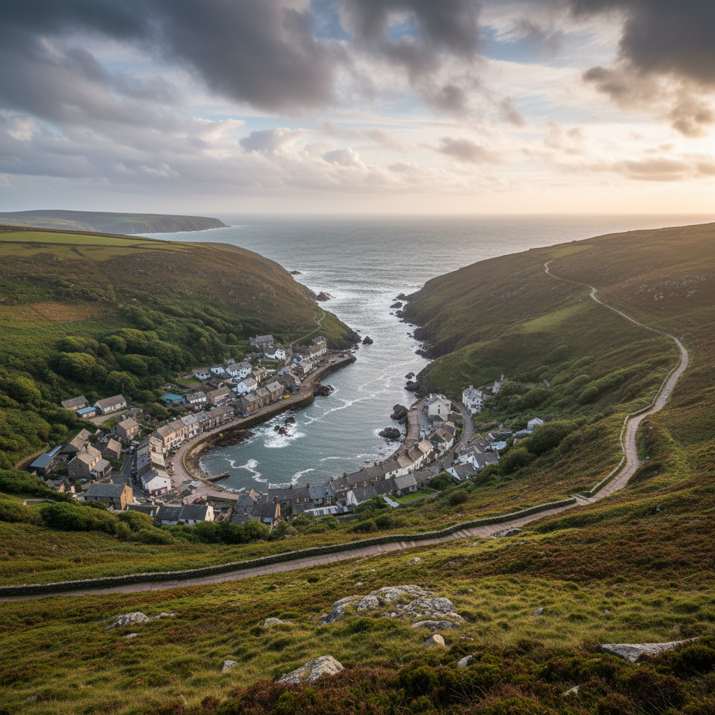
Boscastle adds harbour, folklore, geology and coast path potential to the 3moors place network.
Bossiney Cove
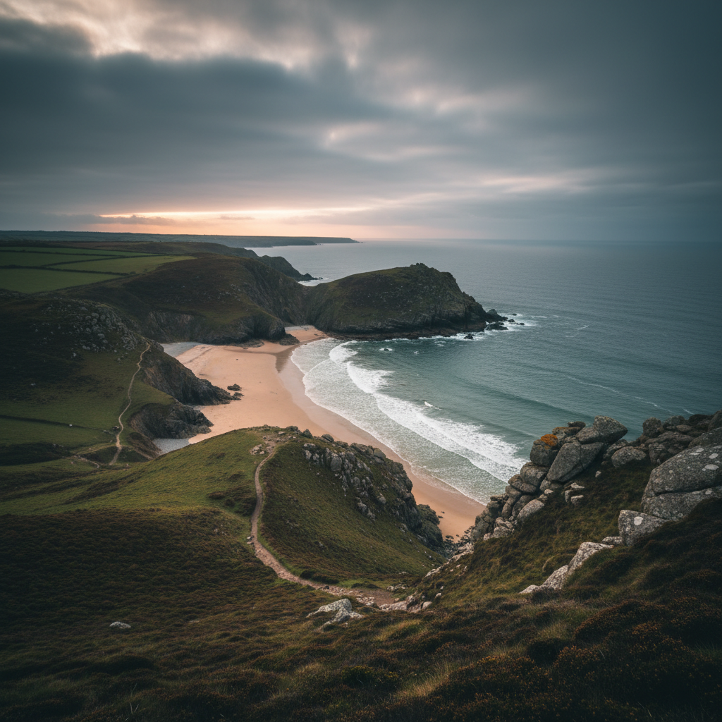
Bossiney Cove brings a wilder, less polished coastal note to the Bodmin-side 3moors map.
Crackington Haven
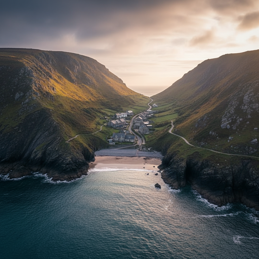
Crackington Haven works well as a quieter North Cornwall coastal place with strong walking and geology appeal.
Golitha Falls
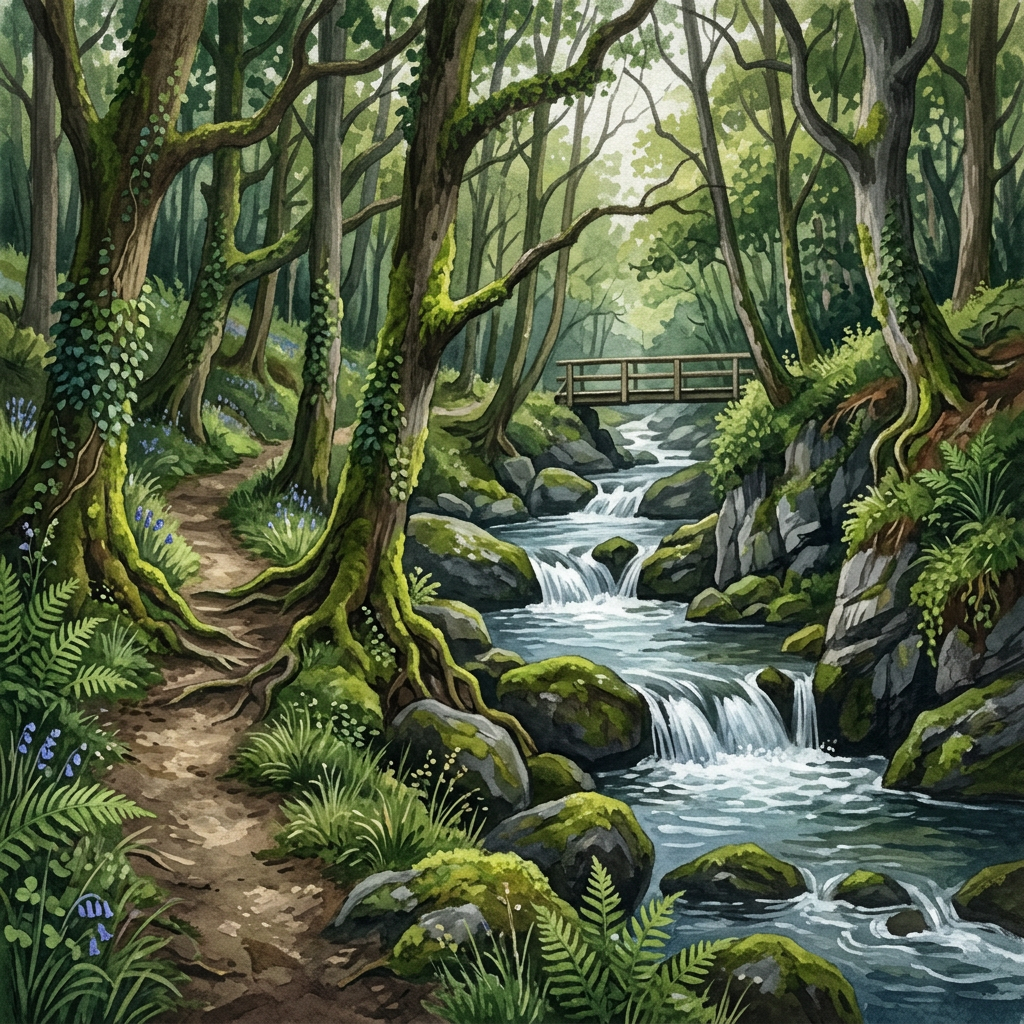
Golitha Falls offers a different side of Bodmin Moor — river, woodland and easier walking in a calm but atmospheric setting.
Join the 3moors Community for path conditions & local tips.
JoinWhy this place matters
Cawsand & Kingsand — in its own right
What Cawsand and Kingsand leave you with is less a memory of a specific attraction than a sense of having been somewhere that has continued to exist on its own terms, without particular concern for whether visitors find it convenient. The lanes are the lanes. The beach is the beach. The ferry runs or it does not. There is a kind of integrity to that which becomes more noticeable the further you get from the place. The seasonal change here is not decorative. It is structural. The village in February is a genuinely different proposition from the village in August, not just quieter but differently oriented, differently lit, differently peopled. That mutability is the honest character of any coastal place that has not been preserved or packaged, and it is what makes a return visit feel like a different journey rather than a repetition of the first.
Explore more
Discover other places, walks, and hidden corners across Bodmin Moor.