
Exmoor · North Exmoor coast
Lynbridge
A steep wooded settlement where rivers, cliffs and coastal paths meet.
About
Lynbridge
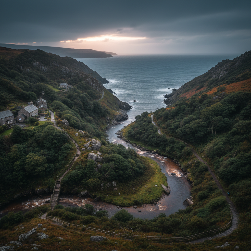
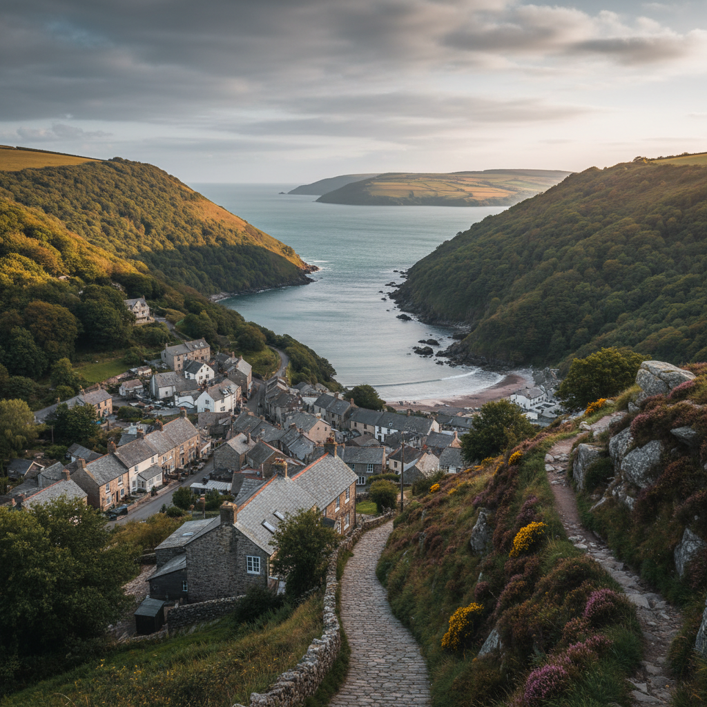
Lynbridge sits at the foot of a steep, wooded combe on the northern edge of Exmoor, tucked just inland from the dramatic coastline between Lynmouth and the open heathland above. It is separated from its better-known neighbour, Lynmouth, by little more than the West Lyn River, yet it feels removed from that small town's visitor economy in ways that geography alone cannot fully explain. This is a hamlet of modest proportions: a cluster of stone-built cottages, a road that falls sharply through overhanging trees, and a constant, low sound of water moving somewhere below. The sense of arrival is gradual rather than sudden, the settlement revealing itself in pieces as the lane descends.
The landscape that holds Lynbridge in place is one of the most topographically compressed on Exmoor. Within a short radius, the land does an extraordinary amount of work: rivers converge, wooded valley sides rise steeply to open moorland, and the coast cliffs begin their dramatic run westward toward Heddon's Mouth and beyond. People come here primarily to move through this landscape on foot, and the hamlet serves that purpose without making much fuss of it.
What shapes the character of Lynbridge more than anything is its relationship to seasonal change. The wooded combes that surround it register the turning year with unusual clarity. In late spring the canopy closes overhead and the light becomes green and filtered
by November the same trees stand stripped and the valley opens out, allowing long views that are invisible in summer. The hamlet itself does not change, but the frame around it does, repeatedly and with some drama. Visitors who return across seasons often say the place feels like a different location entirely depending on when they arrive.
Character
The feel of Lynbridge
Lynbridge does not arrange itself around a green or a church in the way that many Exmoor villages do. There is no obvious focal point, no pub at the centre of things, no sequence of listed buildings to anchor the eye. What holds it together is something less visible: the shared logic of a settlement that has always existed in relation to the rivers and the valley rather than to any road or market. The cottages and converted properties are oriented toward the water and the paths, not toward each other, and this gives the hamlet a slightly dispersed, private quality that is distinct from the sociable legibility of a more conventional village.
The working character of the place is understated but present. Lynbridge is not a hamlet that has reinvented itself as a visitor destination, and the rural life here sits alongside tourism rather than being replaced by it. Gardens are practical as well as decorative
there are signs of ordinary domestic maintenance, of working vehicles, of a settlement inhabited year-round by people who are not on holiday. This matters, because it sets the register of the place. Visitors who are used to honeypot villages, where everything visible has been oriented toward the passing trade, may find Lynbridge slightly opaque. It does not perform itself.
The river is the constant. The West Lyn runs below and through, audible from almost every point in the settlement, and its sound sets a kind of baseline note beneath everything else. In wet weather the river rises quickly and the sound becomes more insistent, more demanding of attention. In dry spells it drops back to something almost musical. For anyone spending time in Lynbridge, the relationship to that sound is unavoidable, and it becomes one of the ways the place locates itself in the memory long after a visit ends.
Map & Getting Here
Getting to Lynbridge
What to expect
A natural way to spend time here
The lane into Lynbridge drops steeply, and the first thing the descent does is trade one kind of light for another. The open sky at the top of the combe gives way quickly to a canopy of oak and ash, and by the time the hamlet is reached the world has become noticeably narrower, greener, and more enclosed. Navigation here is partly vertical: paths go up or they go down, and the flatter options tend to be the riverside paths that run along the valley floor.
The smell of the place is particular to damp woodland and moving water. After rain, and there is a great deal of rain on this part of Exmoor, the air carries a richness of wet leaf and mossy stone that is immediately recognisable and not easily replicated. The sound of the river shifts in quality depending on your position relative to it, becoming cleaner and more defined at the bridges and stepping stones, absorbed into the general ambient noise of the valley when you are deeper in the trees.
Lynbridge rewards a patient pace and the willingness to make more than one stop at points where the valley reveals itself. The tendency to move quickly through to Lynmouth or upward to the coastal path means that the hamlet itself is often passed through rather than inhabited. Those who pause, who take the time to sit at the river's edge or to walk the shorter loops before committing to a longer route, tend to find that the place gives considerably more back.
What makes it stand out
What makes Lynbridge special
What separates Lynbridge from the other access points along this stretch of coast is the density of options it unlocks within a very short radius. Lynmouth, just below, has greater visibility and more facilities, but it also has a summer-season quality that softens the edges of the landscape. Lynbridge sits at a slightly different altitude and temperament: it is genuinely inside the wooded valley rather than at its mouth, and this position makes it a more useful base for those who want to go further rather than linger at the most obvious viewpoints.
The convergence of the East and West Lyn rivers near this point is also geologically and historically significant in ways that most passing visitors do not register. The 1952 flood that devastated Lynmouth originated in these river systems, and the evidence of that event, in the reshaped valley floor and the reinforced river banks, is still quietly legible in the landscape for those who know where to look. This is not a history that is promoted or interpreted for visitors, but it gives the physical environment a layer of meaning that more heavily curated places lack. The valley feels genuinely formed by its own past rather than arranged for the convenience of the present.
Don't miss
Things to see and do
Follow the West Lyn upstream from the hamlet until the path narrows and the valley closes in around you, the trees pressing down to the water's edge on both sides.
Watch for dippers working the river at the lower stepping stones, where the current runs fast and clear over pale stone.
Walk up through the wooded combe to the open moorland above and turn to look back at the coastal shelf spread out below, Lynmouth's rooftops just visible through the tree line.
Take the Valley of Rocks road west on foot rather than by car, where the cliff scenery unfolds in stages and the scale of the headlands becomes apparent gradually.
Cross to the eastern bank of the river and find the higher path that runs above Lynmouth through the sessile oak woodland of Myrtleberry Cleave.
Look for the points where the valley floor still shows the geometry of the 1952 flood works in the arrangement of boulders and recut channels.
Descend into Lynmouth in the evening, when the day-visitors have largely gone and the harbour light is low and flat across the water.
Climb to Countisbury Common early in the morning before the coastal path fills, when the sea and the moorland are visible in the same unbroken view.
Walks from here
Getting out from Lynbridge
The most immediate walking from Lynbridge follows the rivers: the West Lyn upstream toward Barbrook, or the combined river downstream and into Lynmouth before picking up the South West Coast Path heading east toward Foreland Point. This eastern coastal route is one of the most demanding on the Exmoor section of the path, gaining significant height above Lynmouth before the cliff top levels out. The reward is a long open traverse above the Bristol Channel with views on clear days toward the Welsh coast. The path back via Countisbury provides a natural circular route of roughly eight to ten miles with considerable ascent.
Westward from Lynbridge, the Valley of Rocks is reachable on foot along a well-established path that runs roughly parallel to the road before dropping to the dramatic dry valley with its castellated rock formations. From the Valley of Rocks, the coastal path continues to Heddon's Mouth, where the river drops to a pebble beach below steep cliffs. This is a longer commitment of a day rather than a half-day, but the terrain is varied enough to sustain the distance. Shorter options include the circular walks through Myrtleberry Cleave and Hoaroak Water, which keep largely to the wooded valley system and are considerably less exposed, making them useful in poor weather or for those who prefer the woodland landscape to the open cliff top.
Good to know
Before you go
The roads into Lynbridge are narrow and the parking limited. Arriving early in the day, particularly in July and August, matters considerably
later in the morning the lanes near Lynmouth back up and the accessible parking near the hamlet fills quickly. Waterproof footwear is not optional on most routes here, even in summer: the valley paths stay wet for days after rain, and the riverside sections can be muddy year-round. A walking pole is useful on the steeper descents, which can be slippery after wet weather.
Mobile signal is unreliable in the valley bottom. Downloading maps before arrival is sensible rather than precautionary. The nearest facilities are in Lynmouth, a short walk or drive below, where there are cafes, a pub, and a small general store.
Across the seasons: Late April and early May bring the valley into a particular kind of life: the sessile oaks come into leaf slowly and the bluebells in the woodland floor below them are at their most concentrated. The light at this time of year is still relatively low and the canopy not yet fully closed, which means the valley has a luminous, layered quality that disappears once the leaves are fully out. For those whose interest is primarily in woodland and river landscapes, this is the most rewarding period. Late October is the other hinge point. The bracken on the open moorland above the hamlet turns a deep ochre and the valley trees begin to thin, restoring the long views through the woodland that summer conceals. The coastal path is quieter, the weather more variable but often still dry, and the low autumn light on the cliff faces westward toward Heddon's Mouth has a particular quality that the higher sun of summer cannot replicate. Lynmouth below is considerably less crowded, and the valley has a composed, almost deserted character that suits the landscape far better than midsummer does. Winter brings the most challenging conditions but also the most unmediated version of the place. River levels are high, the paths are difficult, and the coastal path in wet or windy weather requires experience and the right equipment. Those who visit between December and February will find Lynbridge almost entirely given back to itself, with the valley sounds and the river dominant in a way that the summer season does not permit.
Practical info
Practical info
Parking in Lynbridge itself is extremely limited. The hamlet sits in a steep valley with narrow lanes, and there is no dedicated visitor car park. Most visitors use the car parks in nearby Lynton or Lynmouth and walk down into the valley. Do not assume roadside space will be available, particularly in summer months.
Lynbridge has no visitor facilities of its own. There are no public toilets, cafés, or shops within the hamlet. Lynmouth, a short walk away, provides the nearest toilets, refreshments, and basic provisions. Carry everything you need before descending into the valley.
The lanes and paths into Lynbridge are steep and can become slippery in wet conditions. Paths through the wooded valley involve uneven, root-crossed ground with significant elevation change. Sturdy footwear with good ankle support is strongly recommended. This is not an appropriate destination for pushchairs or those who find steep gradients difficult.
varies
Explore nearby
Places nearby
Bossington
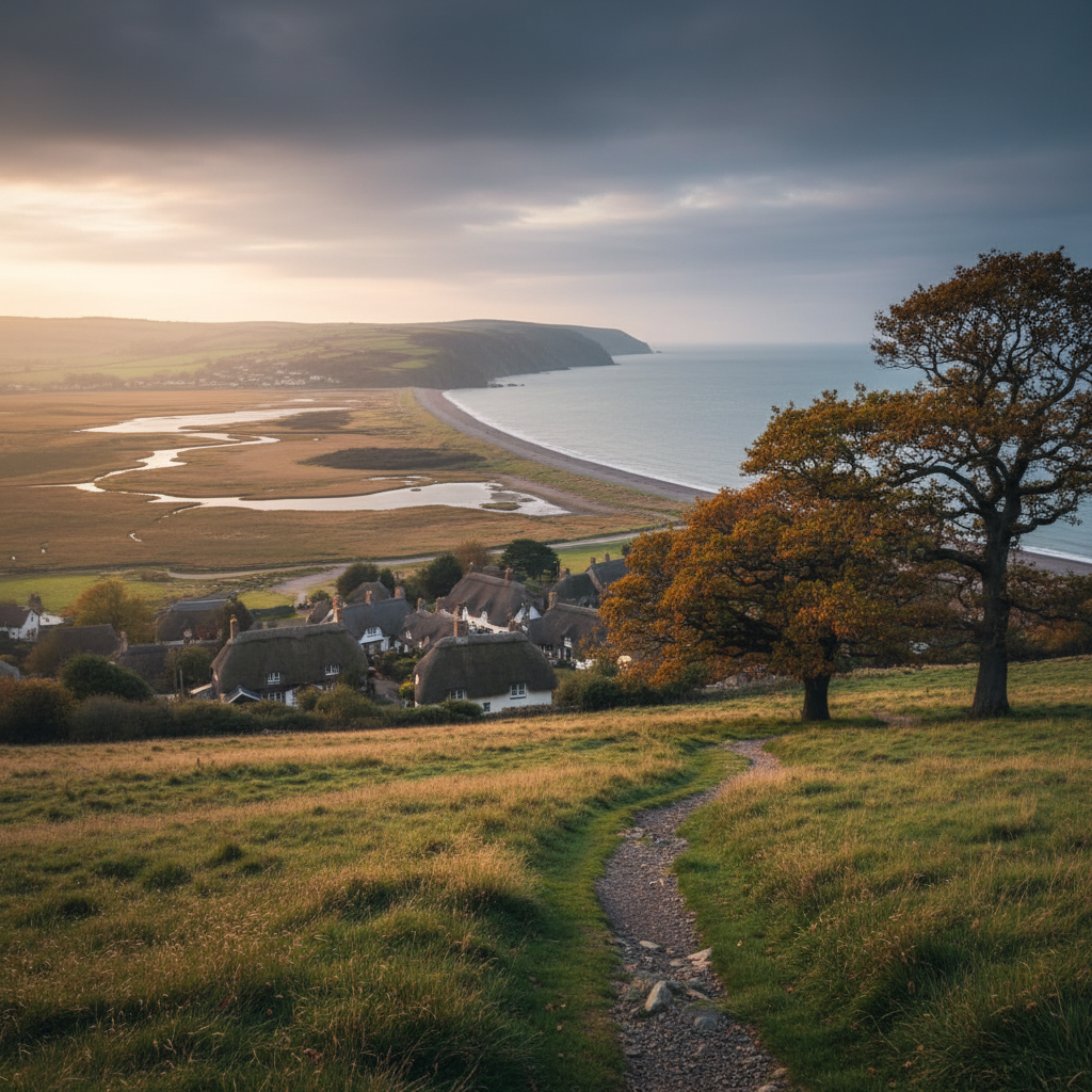
Bossington offers a softer Exmoor coastal stop, with village character, marshland, beach and good walking links.
Heddon Valley
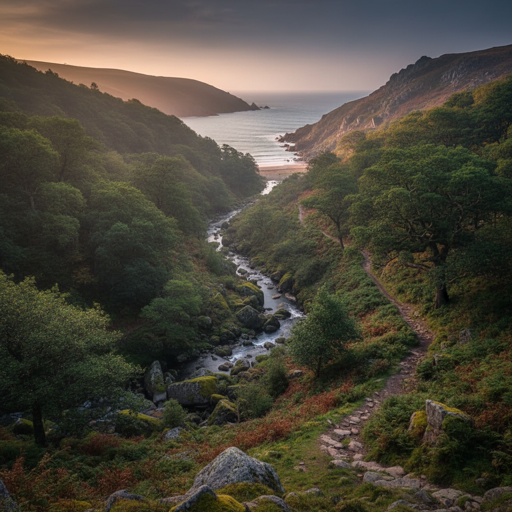
Heddon Valley is one of Exmoor’s best coast-and-combe places, combining woodland, river and sea-edge walking.
Porlock Weir
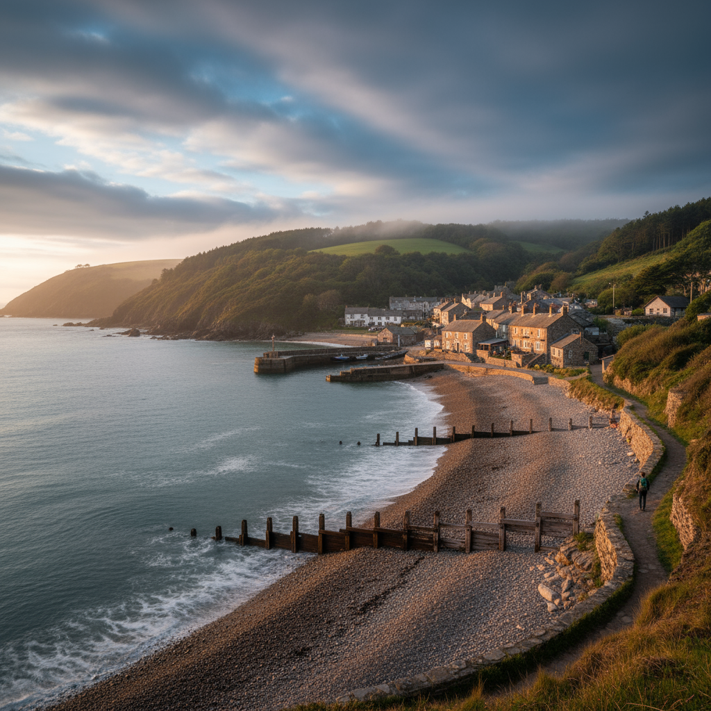
Porlock Weir adds harbour character, coastal walking and one of Exmoor’s most atmospheric sea-edge stops.
Combe Martin
A useful base for combining beach time, cliff walks and Exmoor exploration.
Join the 3moors Community for path conditions & local tips.
JoinWhy this place matters
Lynbridge — in its own right
There is a quality to Lynbridge that is easy to miss and difficult to name precisely. It is not remoteness, exactly, since Lynmouth is only minutes away and the coastal path brings a steady procession of walkers through even on quieter days. It is something closer to composure: the hamlet does not press itself on you, and the landscape it sits within does not require you to react to it immediately or loudly. The valley absorbs noise and softens edges. After a day here, most people find their own pace has adjusted without their having decided to let it. That quietness is not emptiness. It is a product of the place being oriented toward its own internal logic, toward the rivers and the combes and the seasonal rhythms of a landscape that has been shaped by water and weather over a very long time. Lynbridge is not a place that tells you what to think of it. It is a place that waits, and rewards those willing to do the same.