
Bodmin Moor · South Cornwall coast
Porthleven
A working Cornish harbour famous for storms, sea walls and dramatic light.
About
Porthleven
Porthleven sits at the western edge of Mount's Bay, roughly five miles south of Helston, facing the open Atlantic with little between it and the weather. It is Cornwall's most southerly working harbour, and that fact alone shapes everything about the place: the architecture, the mood, the reason people come, and the reason some of them stay longer than planned. The outer pier and inner basin were built in the early nineteenth century to serve the pilchard fishing industry, and the bones of that original purpose are still clearly readable in the stone quays and the arrangement of the town around them.
The harbour mouth is narrow and faces south-southwest, directly into the prevailing Atlantic swell, which makes it operationally difficult and visually arresting in equal measure. Boats come and go on the tide rather than at will, and the clock tower above the harbour head has a working quality to it. This is not a place that has softened itself into a visitor attraction. The fishing boats are still here, the winding gear still turns, and the smell of the sea at low water is not always a polite one.
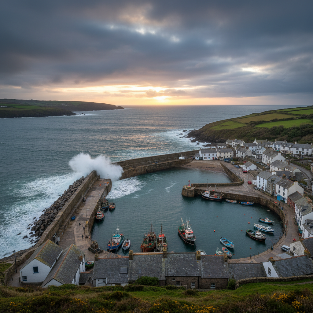
People arrive in Porthleven for several reasons. Some come specifically for the storms, which between October and March can produce wave heights and spray arcs that are genuinely difficult to find elsewhere on the south Cornish coast. Others come for the light: the harbour basin catches late afternoon sun from the west, and the reflections on the water, the painted hull colours, and the granite quayside combine in a way that rewards anyone with a camera and patience. A smaller number arrive quietly, without particular purpose, and find that the place holds them for longer than they expected.
Character
The feel of Porthleven
The town arranges itself around the harbour in a way that feels unplanned but coherent. The inner basin is surrounded on three sides by a mix of fishermen's stores, converted net lofts, restaurants, and the kind of independent shops that arrive in working harbours once the fishing income starts to thin. Slipways cut down to the water at irregular intervals. The harbour wall itself is broad enough to walk along, and people do, in all weathers, stopping to look down into the water or out towards the mouth where the sea moves differently from the sheltered basin behind it.
The tidal range at Porthleven is considerable, and it changes the harbour completely across the course of a day. At high water, the basin is full and still, the boats floating level with the quayside, their reflections almost undisturbed. Four hours later, the water has pulled back to reveal dark mudflats threaded with channels, and the boats sit at angles in the mud, keeled over, resting. The smell changes too: a sharpness of salt and exposed weed, a low biological note that is not unpleasant but is entirely honest. The rhythm of that cycle, twice daily and never the same twice, gives the harbour its underlying tempo and its character as a place that does not stand still.
The wider town behind the harbour is residential and working-class in its bones, with terraced streets climbing steeply from the waterfront. It has not been heavily gentrified, which is part of why it retains the atmospheric weight it does. The voices you hear on the quay are local as often as they are visiting.
Map & Getting Here
Getting to Porthleven
What to expect
A natural way to spend time here
Approaching the harbour from the main car park to the north, you descend a short hill and the basin comes into view abruptly rather than gradually. The clock tower is the first landmark to register, then the curve of the inner quay, and then, if the tide allows it, the open sea beyond the harbour mouth. The transition from the high street to the waterfront takes less than two minutes on foot, but the change in atmosphere is immediate.
At the quayside itself, the sounds vary with the conditions. On calm days the water laps quietly against the stone and the lines of moored boats creak with a low regularity. On rougher days, even when the storm is not yet at full strength, there is a low continuous percussion from the outer wall that you feel as much as hear, a vibration that moves through the stone and into the soles of your feet if you stand still long enough. Seagulls are constant, loud, and entirely indifferent to visitors.
The most rewarding pace here is a patient one. The harbour repays sitting still more than it rewards walking circuits. Find a position on the inner quay in the hour before the tide turns, watch the water level start its drop, and you will understand something about why this place has held people's attention for a very long time. Those who come expecting a conventional day out may find it quieter and more demanding than they anticipated. Those who come expecting to be shown something by the sea itself will rarely be disappointed.
What makes it stand out
What makes Porthleven special
What separates Porthleven from the more frequently visited harbour towns of Cornwall is the exposure. Padstow and Fowey sit inside river mouths or deeply indented bays with significant natural shelter. Porthleven does not. The outer pier takes the full force of Atlantic swells, and when conditions are right, waves break over the harbour wall itself and send water fifty feet into the air. The drama is not incidental to the place
it is structural. The town was built to withstand something, and that tension between human construction and Atlantic force is legible in every stone course of the pier.
There is also an honesty about Porthleven that distinguishes it from places where the working character has been preserved mainly for aesthetic reasons. The fish market still operates early on weekday mornings. The lifeboat station is active. The vessels moored in the inner basin are not always picturesque, and some corners of the harbour smell of diesel and fish more than anything else. For visitors who find that reassuring rather than inconvenient, the place offers something increasingly rare on the Cornish coast: a harbour that is still doing the thing it was built to do.
Don't miss
Things to see and do
Stand on the outer pier at mid-tide and look back at the town to understand how the whole settlement orients itself towards the water.
Watch the fishing boats work their way out through the harbour mouth on an outgoing tide, giving themselves just enough clearance on each side.
Walk the length of the inner quay at low water when the basin is drained and the boats are settled in the mud at their characteristic tilted angles.
Time a visit to the fish market on a weekday morning, early enough to see the catch being unloaded before the day softens into tourism.
Follow the coastal path south from the harbour towards Loe Bar, where the shingle bank separating Loe Pool from the sea is one of the more geologically remarkable features on this stretch of coast.
Find a seat on the harbour wall in the late afternoon and wait for the light to move west across the painted hulls in the basin below.
In winter, position yourself on the raised ground above the outer pier when a south-westerly swell is running and observe from a safe distance what the sea does to the structure built to resist it.
Walks from here
Getting out from Porthleven
The South West Coast Path passes directly through Porthleven and offers straightforward walking in both directions. Heading east towards Loe Bar, the path follows the cliff edge before descending to the narrow shingle bank that closes off Loe Pool from the sea. The pool is the largest natural freshwater lake in Cornwall, and the contrast between its still, wooded margins and the open Atlantic on the other side of the bar is abrupt and genuinely surprising. The round trip to the bar and back is around four miles and involves very little climbing.
Walking west from Porthleven, the coast path climbs steadily towards Rinsey Head and offers wide views back across Mount's Bay towards Penzance and the Lizard peninsula on clear days. The stretch to Rinsey is roughly three miles one way, passing Porthleven Sands and several small coves. The village of Ashton sits just inland and provides an alternative return route on footpaths through farmland if you prefer a circular walk of around seven miles in total. The terrain throughout is well-marked and manageable, though the cliff-edge sections require attention in wet weather when the paths become slippery.
Good to know
Before you go
The harbour car park fills early on summer weekends and during storm events, when visitor numbers can spike unexpectedly. Arriving before ten in the morning avoids the worst of it. In summer the inner quay restaurants are busy through lunchtime and into the evening
if you want to eat near the water without a wait, mid-week and mid-afternoon are reliably easier. The outer pier is closed to the public during high sea conditions and is gated when the harbourmaster considers it unsafe. Do not attempt to access it when the gate is closed
the risk is not exaggerated by the signage.
If you are coming specifically for the storms, keep an eye on the Met Office swell forecasts rather than wind speed alone. A deep Atlantic low generating significant swell from the south-west will produce more dramatic wave action than a local squall, and the forecasts for significant wave height off the Lizard are a useful indicator. Appropriate waterproofing is not optional in these conditions
spray reaches well beyond the immediate harbour wall, even at a distance that feels safe.
Across the seasons: Between November and February, Porthleven is at its most itself. The visitor numbers drop away, the restaurants thin out, and the harbour returns to something closer to its working character. The low winter light from the south-west, particularly in the two hours before sunset, produces the kind of sharp angular illumination that makes the granite surfaces and painted boat hulls look almost three-dimensional. This is the season for storm watching, and a significant Atlantic low arriving between November and January can bring conditions that are difficult to witness anywhere else on the south Cornish coast without travelling to the more exposed headlands of the Lizard or Penwith. Spring brings improving light and a gradual return of visitors, but March and April can still deliver the occasional forceful swell, giving the harbour a transitional quality: the flowers are appearing on the cliff paths, the evenings are lengthening, and the sea is still fully capable of making itself known. Summer is busy and genuinely warm in a way that rewards early mornings on the quay before the day crowds in. Late September is arguably the most balanced period: the summer visitors have largely gone, the light begins to take on the golden quality of early autumn, and the sea is still warm enough to swim from the beach just east of the harbour mouth.
Practical info
Practical info
Porthleven has a public car park near the harbour, though spaces fill quickly during summer weekends and any period of forecast storms, when visitor numbers rise sharply. On-street parking around the harbour front is limited and is shared with residents, so arriving early or outside peak hours makes a real difference. Overflow parking may be available further back from the waterfront, requiring a short walk down to the quay. Avoid blocking access roads near the working harbour area.
The town has a reasonable range of cafés, pubs, and independent food businesses around the harbour and along Fore Street, most of which are open year-round. Public toilets are available near the harbourfront, though opening hours and maintenance vary by season. There are no visitor centres or formal tourist facilities in the town. Beyond the town itself, the surrounding coastal path offers nothing in the way of shelter or services.
The harbour area and main quayside are accessible on foot with no significant gradients, and the surface underfoot is largely paved or compacted. The outer harbour walls and the raised breakwater can be wet and exposed in poor weather, and extreme caution is essential during storms or high seas, when waves can wash over the walls without warning. The South West Coast Path above the town involves steeper ground and uneven terrain. Sturdy footwear is advisable, particularly in winter.
varies
Explore nearby
Places nearby
Boscastle
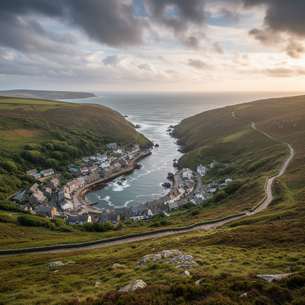
Boscastle adds harbour, folklore, geology and coast path potential to the 3moors place network.
Bossiney Cove
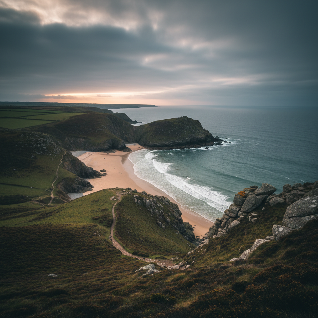
Bossiney Cove brings a wilder, less polished coastal note to the Bodmin-side 3moors map.
Crackington Haven
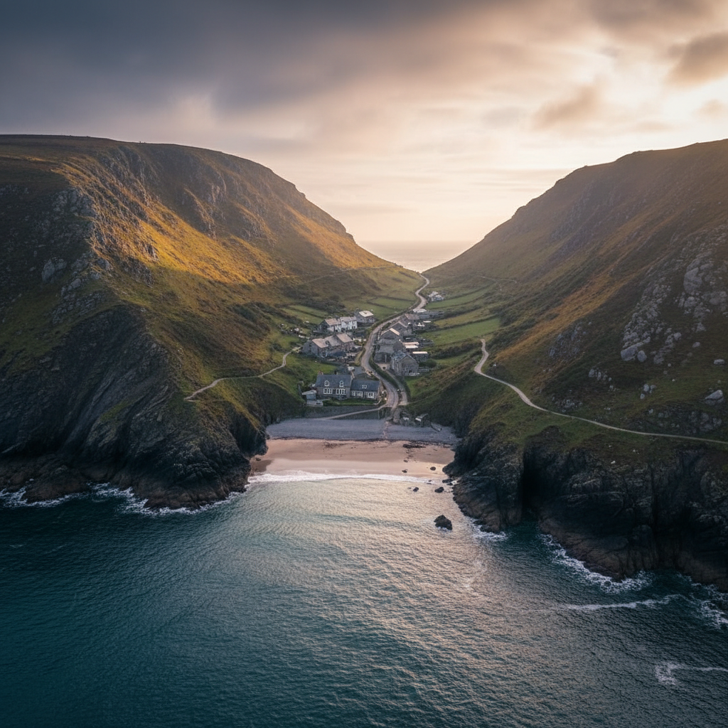
Crackington Haven works well as a quieter North Cornwall coastal place with strong walking and geology appeal.

Golitha Falls
Golitha Falls offers a different side of Bodmin Moor — river, woodland and easier walking in a calm but atmospheric setting.
Join the 3moors Community for path conditions & local tips.
JoinWhy this place matters
Porthleven — in its own right
What Porthleven leaves you with, in the end, is less a specific sight than a disposition towards the coast. Spend time here and you begin to attend to it differently: to the state of the tide, to the direction of the swell, to the weight of the sky over the harbour mouth. The place rewards that kind of attentiveness, and it asks for it. There are harbours in Cornwall that can be appreciated in an hour and set aside cleanly. This is not one of them. The impulse to explore outward from Porthleven, along the coastal path in either direction or simply further into the harbour's own layers, is one of its reliable effects on visitors who give it time. The bar at Loe Pool, the cliff path towards Rinsey, the early morning fish market: none of these are discoveries that announce themselves. They are things you find by coming back, by following a thread, by allowing the place its own pace rather than imposing one on it. That quality of gradual revelation is, in the end, what makes Porthleven worth the patience it requires.
Explore more
Discover other places, walks, and hidden corners across Bodmin Moor.