
Best Approach
Via A39, then west
Road Difficulty
Moderate
Best Time
Daylight hours
Motorhome Friendly
Caution advised
EV Charging
Limited
Best For
Remote coast, storm watching
Getting to Hartland
Remote Atlantic Coast
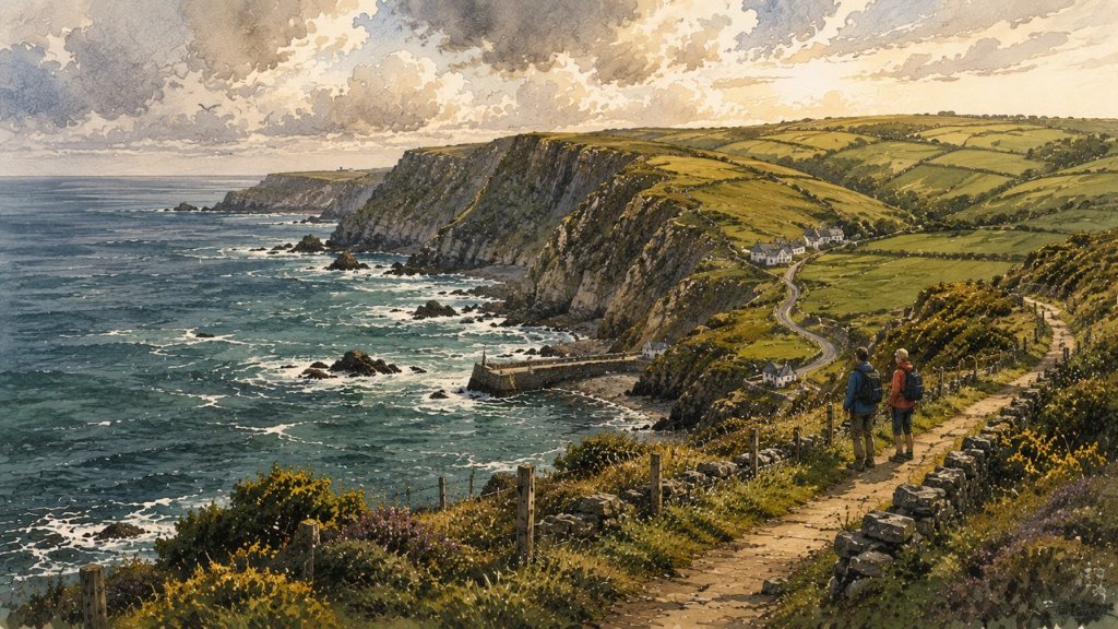
Hartland feels different from much of the North Devon coast.
The roads become quieter, the landscape wilder, and the Atlantic starts to dominate everything around you. It's beautiful touring country — but not fast touring country.
This is an area where journey times are often longer than visitors expect.
Vehicle Suitability
| Vehicle Type | Suitability |
|---|---|
| Car | Good |
| Small Campervan | Good |
| Large Campervan | Moderate |
| Caravan | Moderate |
| Large Motorhome | Caution advised |
| Coach | Limited |
| Cyclists | Challenging |
| EV Vehicles | Limited infrastructure |
Best Route In
Main Approach
Approach via the Atlantic Highway (A39) before turning west toward Hartland.
Avoid relying on tiny inland lane shortcuts. The area is heavily hedge-lined with many blind bends.
Important Driving Notes
What to Expect
This is not difficult driving — but it demands patience.
Campervan & Motorhome Advice
Especially Around
- Hartland Quay
- Remote cliff roads
- Smaller coastal approaches
Best Strategy
- Arrive unhurried
- Avoid dusk on unfamiliar lanes
- Use official parking areas
Coastal Weather Warning
Atlantic Weather Changes Quickly
In winter the area becomes spectacular for storm watching — but considerably more challenging to drive.
Cycling Notes
Serious Terrain
Expect
- Relentless climbing
- Steep coastal gradients
- Exposed headwinds
- Minimal flat sections
Beautiful cycling, but physically demanding.
EV Touring Notes
Limited Infrastructure
EV access is improving but remains limited compared to larger Cornwall towns.
Charge before leaving major centres. Do not assume rapid charging exists near remote coastal areas.
Parking & Access
What to Know
Most major visitor points have manageable parking, but:
Continue the Atlantic Highway