

Brown Willy from Rough Tor
Two of Bodmin Moor’s great granite summits in one rewarding outing, with wide moorland views, prehistoric atmosphere and a real sense of exposure once you leave Rough Tor behind.
3moors Verified
This route has been reviewed and prepared by 3moors using mapping, terrain analysis, local knowledge and editorial review.
About this walk
Linking Rough Tor and Brown Willy creates one of Bodmin Moor’s classic summit walks. Though relatively short by distance, the route quickly leaves roads and shelter behind, replacing them with granite, open sky and a feeling of genuine space that is increasingly rare in southern England.
Rough Tor arrives first, its scattered granite towers rising abruptly from the moorland slopes. Even before reaching the summit, the views begin opening west across the rough folds of Bodmin Moor.
From Rough Tor, the route continues across exposed high ground towards Brown Willy itself — Cornwall’s highest point. The walk between the two summits is where the character of the route really settles in: peat underfoot, sheep tracks winding through the grass and distant tors appearing through shifting light and weather.
In good conditions, visibility can stretch for miles. In mist, however, the moor becomes surprisingly serious, and simple navigation skills become important.
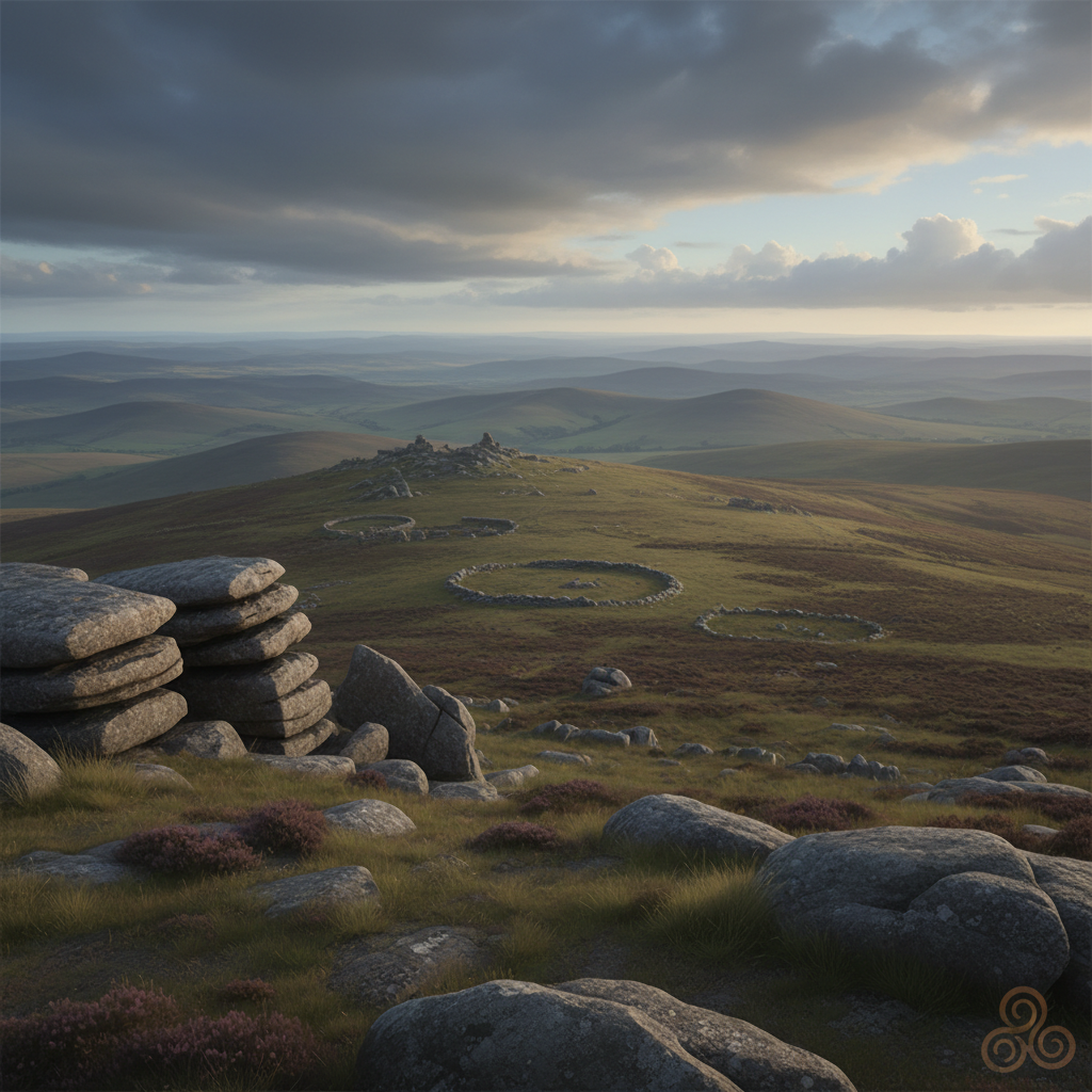
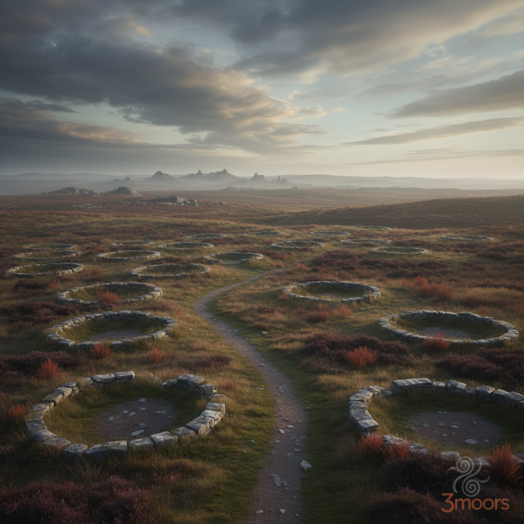
The granite landscape here was shaped millions of years ago, but human traces across the moor are nearly as striking. Prehistoric field systems, hut circles and ancient trackways lie scattered across Bodmin Moor, giving the entire area a deep-time atmosphere that suits the exposed terrain perfectly.
The weathered rock formations on Rough Tor are especially dramatic at sunrise or late evening, making this one of Bodmin Moor’s favourite locations for landscape photographers.
Despite its popularity, the route can still feel wonderfully remote once away from the car park. Wind, skylarks and the crunch of granite often replace any sense of modern noise.
On a clear day, this remains one of the finest short summit outings anywhere in Cornwall.
Who this walk is for
Who this walk is for
- ✔Photographers
- ✔Dog walkers used to open moor
- ✔Walkers wanting a classic Bodmin Moor summit
- ✔People interested in granite tors and prehistoric landscapes
- ✖Pushchairs or wheelchairs
- ✖Poorly equipped walkers in bad weather
The Experience
• Two major granite tors
• Cornwall’s highest summit
• Big skies and exposed moorland
• Strong photography route
• Ancient landscape feel throughout
Elevation Profile
Illustrative profileRoute Summary
1. Start from the Rough Tor car park and follow the clear rising path towards the granite summit.
2. Explore the summit rocks and views from Rough Tor.
3. Continue across open moorland towards Brown Willy.
4. Reach the broad summit plateau of Cornwall’s highest point.
5. Return by the outward route or use minor path variations in good visibility.
Landscape & History
Bodmin Moor’s granite uplands are among the oldest and most distinctive landscapes in Cornwall. Around Rough Tor and Brown Willy, prehistoric remains still survive across the open moor, including hut circles, ancient boundaries and ceremonial sites. The exposed granite tors themselves have shaped local folklore, farming and navigation for centuries.
Brown Willy from Rough Tor — Gallery
A few real views from the route
Safety & Conditions
Weather
Check the forecast before setting out. Wind, rain or low cloud can quickly change route character.
Navigation
Straightforward in good visibility on most routes, but open moor, coast or downland sections need attention.
Livestock & Wildlife
Livestock may be present on some paths and in adjoining fields; keep dogs under close control.
Footwear
Wear sturdy footwear with grip, especially where paths are muddy, rocky, chalky or rooty.
Variations
In good conditions, the route can be extended across surrounding moorland towards additional tors and prehistoric sites. In mist or strong wind, keeping to the direct return route is usually the safer option.
Access & Parking
Parking is available near Rough Tor, though spaces can fill quickly on fine weekends and during summer holidays. The initial approach is straightforward, but higher sections become rougher and more uneven as the route reaches open granite moorland.
3moors Community
Recent conditions or questions about this walk?
Join the 3moors Community to ask about path conditions, parking, wildlife sightings and local tips.
Join the 3moors CommunityDiscussion takes place in our Facebook community.
Join the 3moors Community for path conditions & local tips.
JoinWeather near Rough Tor car park
Weather forecast temporarily unavailable. Check back shortly.
Wildlife you might see
Common sightings along this route — based on habitat and recent reports
 Peak season
Common Buzzard
bird
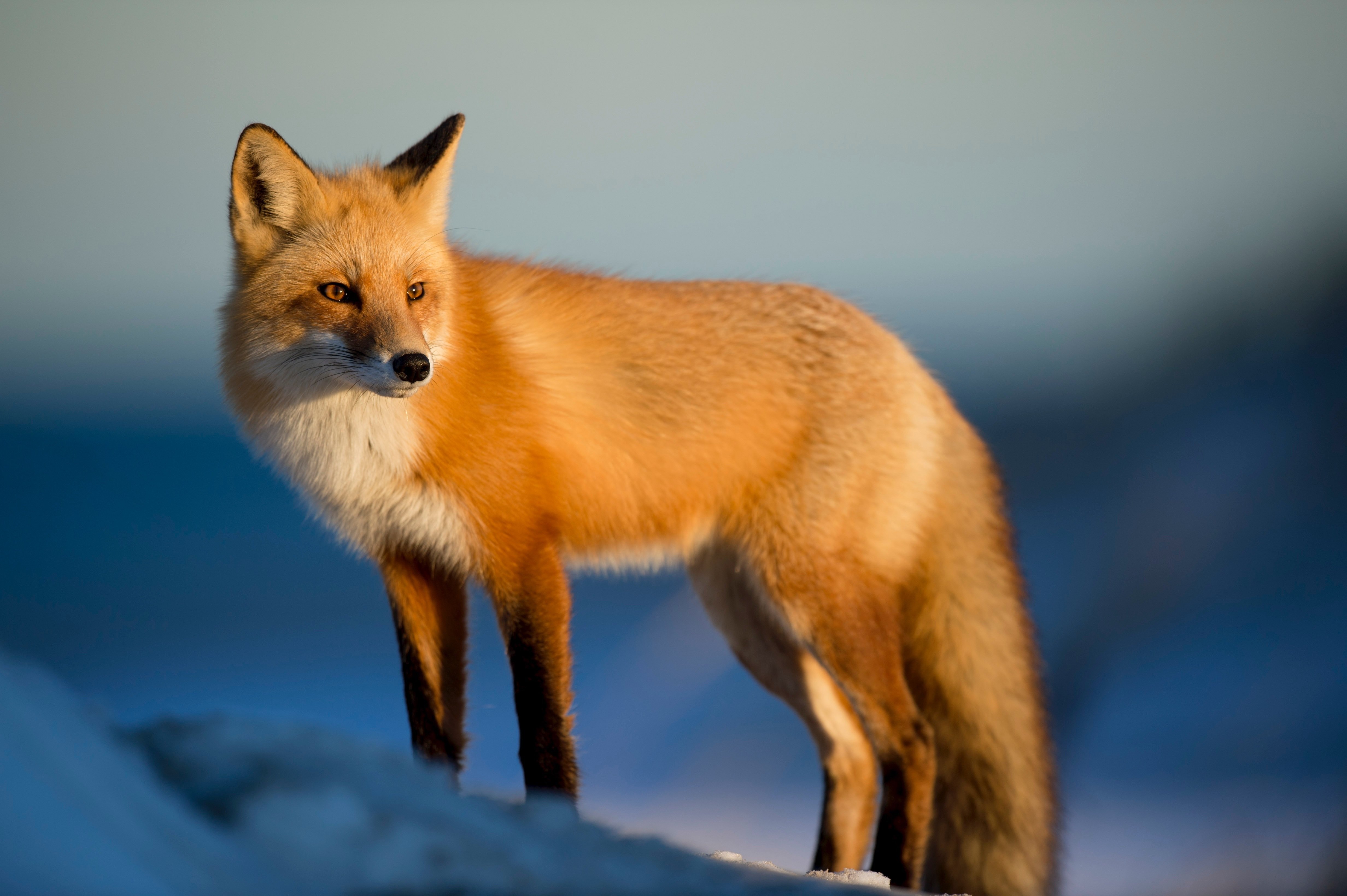
Fox
mammal
 Season approaching
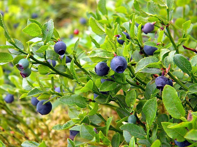
Bilberry
plant
 Peak season
Moorland Fungi
fungi
 Season approaching
Adder
reptile
Recent sightings on this walk
Real sightings submitted by walkers on this route
No sightings reported for this walk yet — be the first to add one.
History along the route

Walk information is based on direct experience and local knowledge. Conditions on the moor can change — always use your own judgement.
More walks to explore
All walks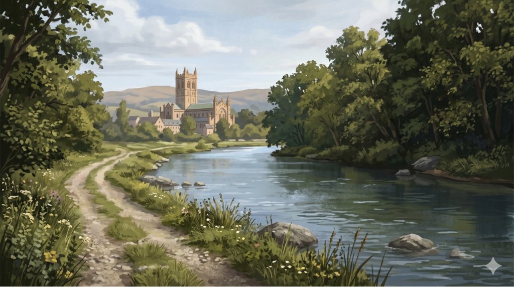
Buckfast Abbey Riverside Walk
A gentle riverside walk from Buckfast Abbey along the River Dart with woodland, wildlife and peaceful views.
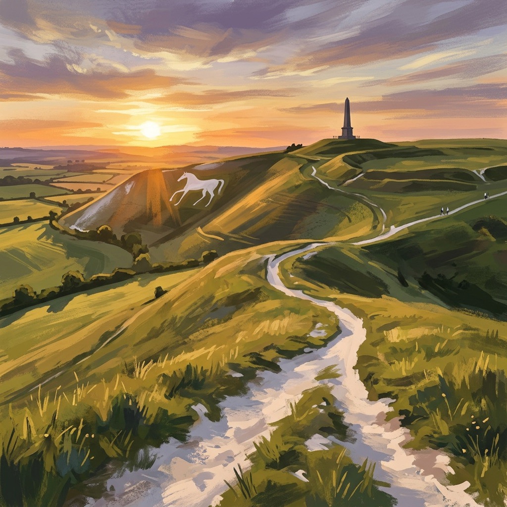
White Horse Trail at Cherhill
Short, steep walk to the Cherhill White Horse with sweeping Wiltshire views.
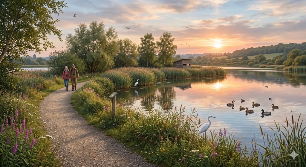
Langford Lakes Waterside Walk
Peaceful lakeside walk with rich wildlife and easy paths.