
Coast
Cheddar Gorge High Level Quiet Loop
Escape the crowds and take to the high ground above Cheddar Gorge, where quieter paths, open hills, and sweeping views give a completely different feel to this iconic landscape.
3moors Verified
This route has been reviewed and prepared by 3moors using mapping, terrain analysis, local knowledge and editorial review.
About this walk
There’s a very different side to Cheddar Gorge if you’re willing to climb above it.
Most people stay down on the road, looking up at the cliffs or queueing through the main viewpoints. This walk does the opposite. It takes you up and away, onto the high ground where the crowds thin out and the landscape opens up.
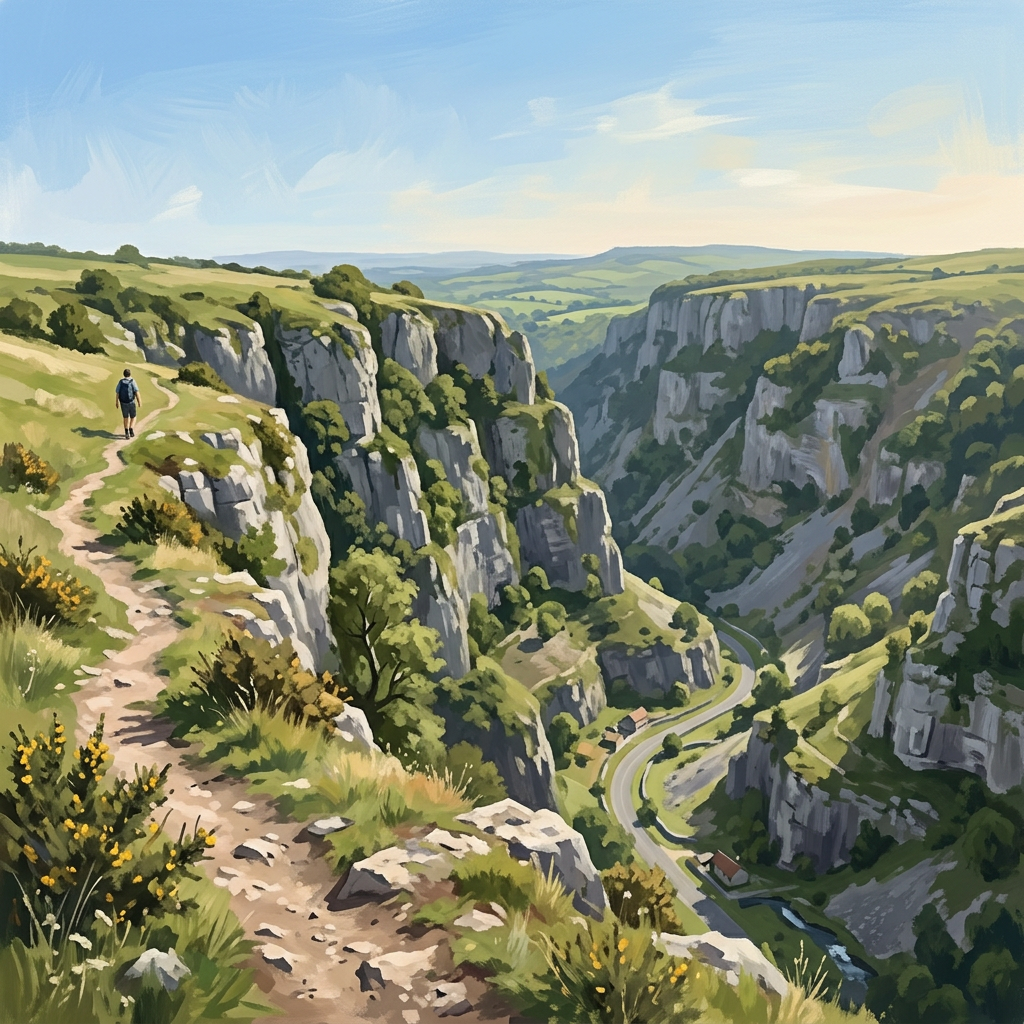
The climb is steady but never dull. You move quickly from busy tourist ground into something quieter — rocky paths, open grass, and the unmistakable feel of limestone underfoot. Once you reach the top, the gorge reveals itself properly, not as a roadside attraction but as a deep cut through the land.
Up here, the walking becomes more relaxed. The paths are less defined in places, and that’s part of the appeal. You follow the ridge, drift slightly off the main line if you want to, and find viewpoints that feel far more personal than the usual stops below.
On a clear day, the views stretch well beyond the gorge itself. The Somerset Levels spread out in the distance, flat and wide, contrasting sharply with the rugged ground you’re standing on.
It’s not a long walk, but it feels bigger than it is. A proper change of perspective on a place most people think they already know.
Who this walk is for
Who this walk is for
- ✔Fit walkers
- ✔Confident walkers
- ✔View seekers and photographers
- ✖Not suitable for those uncomfortable with heights
- ✖Not pushchair friendly
The Experience
- Effort: Moderate with steady climbs and exposed sections
- Highlight: Sweeping views over the gorge and Somerset Levels
- Terrain: Rocky paths, grass plateau, uneven limestone
- Navigation: Straightforward main route with optional quieter variations
- Vibe: Big landscape feel without the crowds
Route Map
Elevation Profile
Illustrative — based on ascent dataRoute Summary
• High-level loop above the gorge
• Steady climb to reach the plateau
• Follow ridge paths with optional quieter detours
• Return via a gentle descent back towards the start
Landscape & History
Cheddar Gorge is one of Britain’s most dramatic limestone landscapes, formed over thousands of years by meltwater carving through the rock at the end of the last Ice Age.
The cliffs you walk above were once part of an underground river system, slowly exposed as the land changed. Today, the gorge is famous not just for its scale, but for its unique geology, rare plants, and long human history — including prehistoric remains found within its caves.
Walking the high level gives you a better sense of this — not just the cliffs themselves, but how they sit within the wider landscape.
Safety & Conditions
Weather
This is an exposed high-level route with little shelter once on the plateau.
- Strong winds are common along the gorge edge
- Avoid in poor visibility, views and navigation both suffer
- Take extra care near cliff edges, especially in wet or windy conditions
Best enjoyed on clear, calm days
Navigation
- Main paths are visible but waymarking is limited
- Several side trails and junctions can cause confusion
- Easy to stay on track in good visibility, but less obvious in mist
A map or GPS is recommended if exploring beyond the main loop
Livestock & Wildlife
Livestock may be present on the plateau and surrounding fields.
- Keep dogs under close control
- Be aware of grazing animals near cliff edges
- Ground-nesting birds may be present in warmer months, avoid straying off paths unnecessarily
Footwear
Walking shoes or boots strongly recommended due to rocky and uneven terrain
Grip is important, limestone can be slippery when wet
Windproof layer advised, even in warmer months
Variations
Shorter option: Stay closer to the main ridge path and avoid wider loops
Extended walk: Link into surrounding Mendip paths for a longer day out
Quieter route: Take smaller side paths along the plateau away from main viewpoints
Access & Parking
Main parking available near Cheddar village (paid)
Additional smaller lay-bys and parking spots on the Mendip plateau
Arrive early in peak season — this area gets busy
Public toilets available in Cheddar village
None on the high-level route
3moors Community
Recent conditions or questions about this walk?
Join the 3moors Community to ask about path conditions, parking, wildlife sightings and local tips.
Join the 3moors CommunityDiscussion takes place in our Facebook community.
Join the 3moors Community for path conditions & local tips.
JoinWeather near Cheddar Gorge Car Park
Weather forecast temporarily unavailable. Check back shortly.
Wildlife you might see
Common sightings along this route — based on habitat and recent reports
 Peak season
Peregrine Falcon
bird
 Season approaching
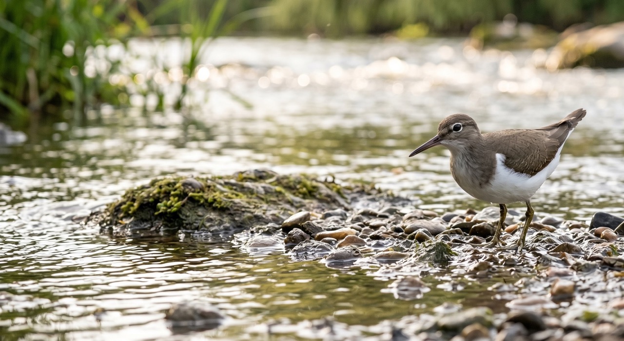
Common Sandpiper
marine-life
 Peak season
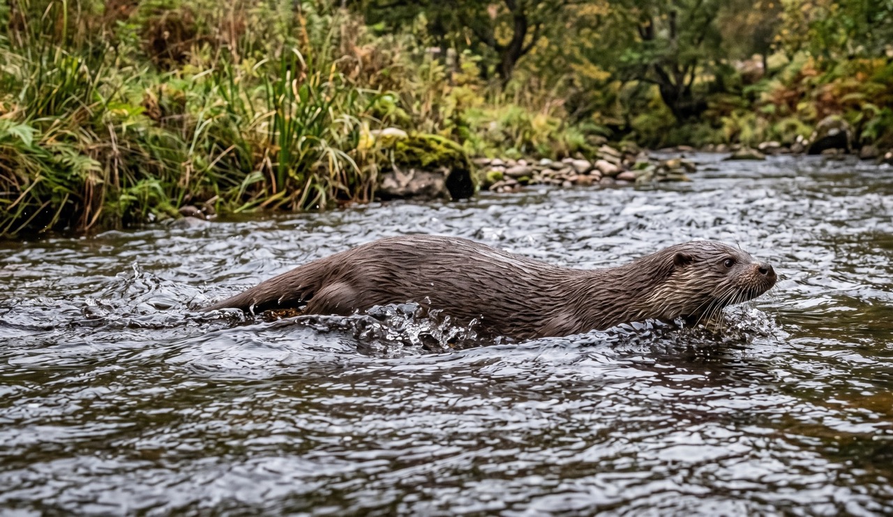
Otter
mammal
 Season approaching
Bilberry
plant
 Peak season
Moorland Fungi
fungi
Recent sightings on this walk
Real sightings submitted by walkers on this route
No sightings reported for this walk yet — be the first to add one.
Walk information is based on direct experience and local knowledge. Conditions on the moor can change — always use your own judgement.
More walks to explore
All walks
Ebbor Gorge Hidden Trails
There’s a slightly wild edge to Ebbor Gorge. Not dramatic like a mountain, not open like the moors — but enclosed, steep, and just unpredictable enough to feel like an adventure. It’s one of those walks where you don’t just “complete a route”… you wander it.

Knowlton Church & Earthworks
A short walk to one of Dorset’s most atmospheric historic sites, where a ruined church stands inside ancient earthworks.

Badbury Rings Woodland Loop
Explore the ancient earthworks of Badbury Rings on a peaceful woodland loop with wide views and deep history underfoot.