
Coast
Hartland Quay & Speke's Mill Mouth — Wreckers, Rewritten
A dramatic North Devon coastal walk from Hartland Quay to Speke's Mill Mouth, blending wild geology, maritime history, and the reality behind the infamous wreckers myth.
3moors Verified
This route has been reviewed and prepared by 3moors using mapping, terrain analysis, local knowledge and editorial review.
About this walk
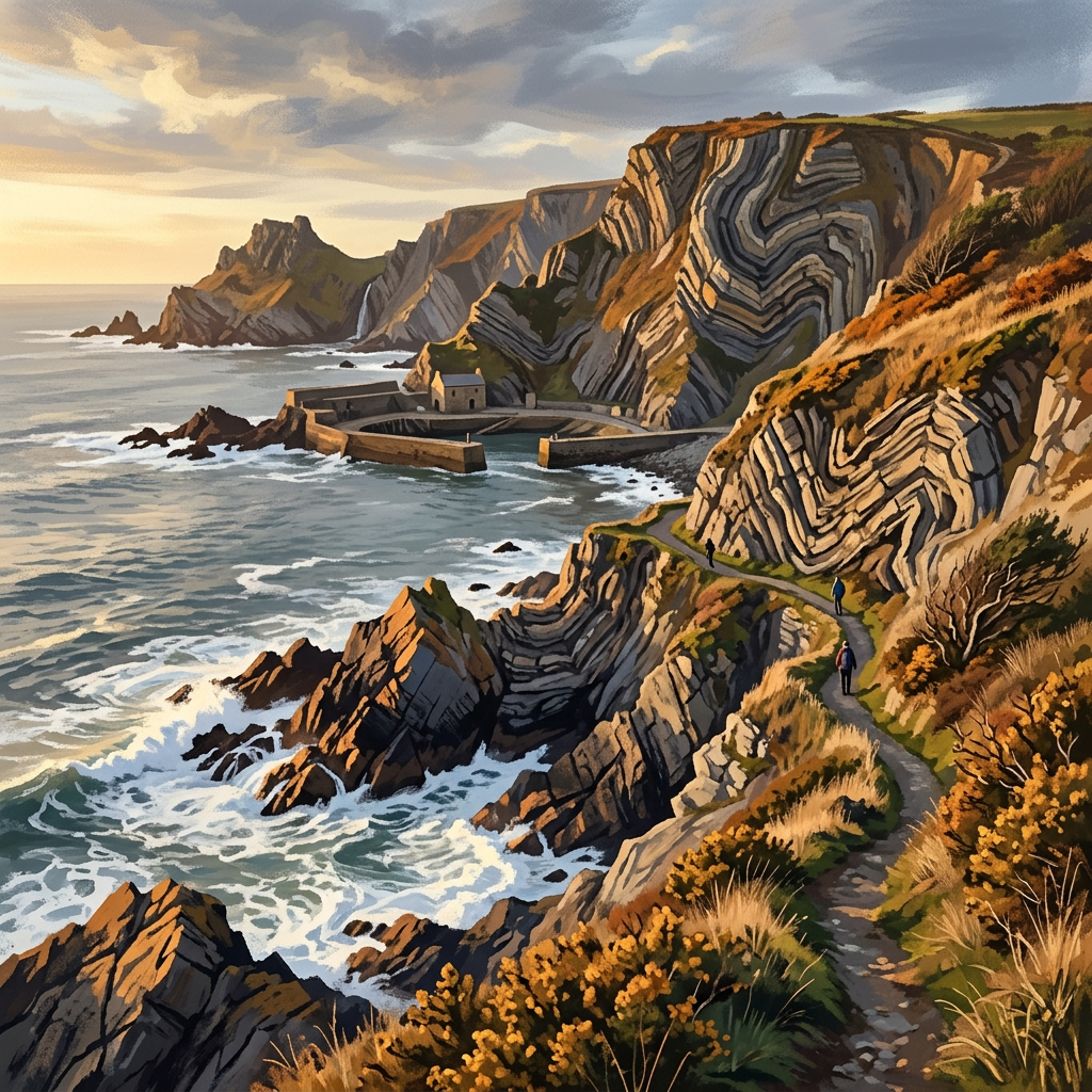
This is one of the most hard-hitting stretches of coastline in the South West — a place where the Atlantic doesn't gently arrive, it slams in. From Hartland Quay, you follow the cliffs south along a landscape shaped by violence: jagged rock ribs, folded strata, and wave-cut platforms that have torn apart ships for centuries. Then comes Speke's Mill Mouth — a narrow cleft in the cliffs where a waterfall drops straight onto the beach, often thundering after rain. But this walk isn't just about scenery. It's about separating myth from reality. The idea of “wreckers” luring ships ashore with lanterns makes for a good story — but the truth is far more grounded. These coasts were dangerous enough without deception, and what followed most wrecks was not villainy, but survival, salvage, and hard law shaped by necessity.
Who this walk is for
Who this walk is for
- ✔Coastal walkers
- ✔History and maritime heritage enthusiasts
- ✔Photographers
- ✔Wild weather seekers
- ✔Dogs welcome (lead near cliffs)
- ✖Not ideal for very young children near cliff edges
- ✖Avoid in severe gales
The Experience
• Effort: Moderate with short steep climbs • Highlight: Speke's Mill waterfall + Hartland's rock “ribs” • Experience: Raw Atlantic coast with deep history • Hook: The truth behind the wreckers myth
Elevation Profile
Illustrative profileRoute Summary
Start at Hartland Quay car park. Join the South West Coast Path heading south. Follow the cliff path to Speke's Mill Mouth. Cross the footbridge near the waterfall. Explore viewpoints along the cliffs. Return the same route (or extend south to Mouth Mill and Blackchurch Rock).
Landscape & History
Culm Coast geology creates some of Devon's most dramatic scenery — the folded and contorted rock strata, forming what locals call ‘rock ribs’, are the result of Variscan mountain-building forces that crumpled ancient seabed sediments.
Speke's Mill Mouth waterfall is one of the most striking coastal falls in Devon, dropping directly onto a rocky beach.
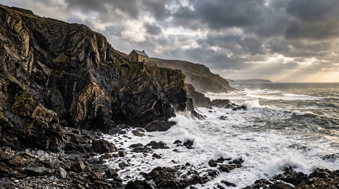
Shipwreck heritage runs deep here — Hartland Quay's small museum documents the many vessels lost on this coast over the centuries. The romantic myth of wreckers deliberately luring ships ashore with false lights is largely just that — a myth. The real history is one of desperate salvage rights, fierce storms, and communities picking up what the sea delivered. Violent enough, and complicated enough, without needing embellishment.
On clear days, Lundy Island sits on the horizon to the north-west — a fitting landmark for one of Devon's most remote stretches of coast.
Photography: Best light in late afternoon. Long exposure suits both the waterfall and incoming surf. The rock formations and museum details reward a careful eye.
Safety & Conditions
Weather
Very exposed to wind — take care near edges in strong gusts. Cliffs are unstable in places — keep back from edges. Waterfall area can be slick underfoot. Avoid scrambling on wet rocks. Paths can be muddy and slippery after rain.
Navigation
Well-signed South West Coast Path. Follow SWCP markers heading south from Hartland Quay to Speke's Mill Mouth.
Footwear
Sturdy footwear essential — rocky paths, cliff edges, and muddy tracks throughout.
Variations
Mouth Mill / Blackchurch Rock extension: adds 6–7 km south for one of North Devon's most iconic rock formations. Short option: stay near the quay, visit the museum, and take a shorter cliff walk (1–2 miles).
Access & Parking
Start and finish at Hartland Quay. Pay & display parking at the quay. Hotel bar/café and small shipwreck museum on site (seasonal). Limited public transport — best accessed by car.
3moors Community
Recent conditions or questions about this walk?
Join the 3moors Community to ask about path conditions, parking, wildlife sightings and local tips.
Join the 3moors CommunityDiscussion takes place in our Facebook community.
Join the 3moors Community for path conditions & local tips.
JoinWeather near Hartland Quay car park
Cloudy
Today
Met Office forecast · updated every 30 min
Wildlife you might see
Common sightings along this route — based on habitat and recent reports
 Peak season
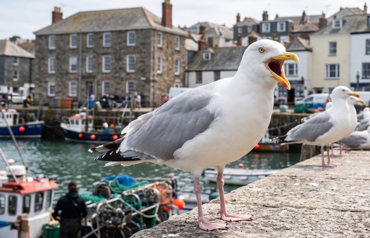
Herring Gull
marine-life
 Peak season
Peregrine Falcon
bird
 Peak season
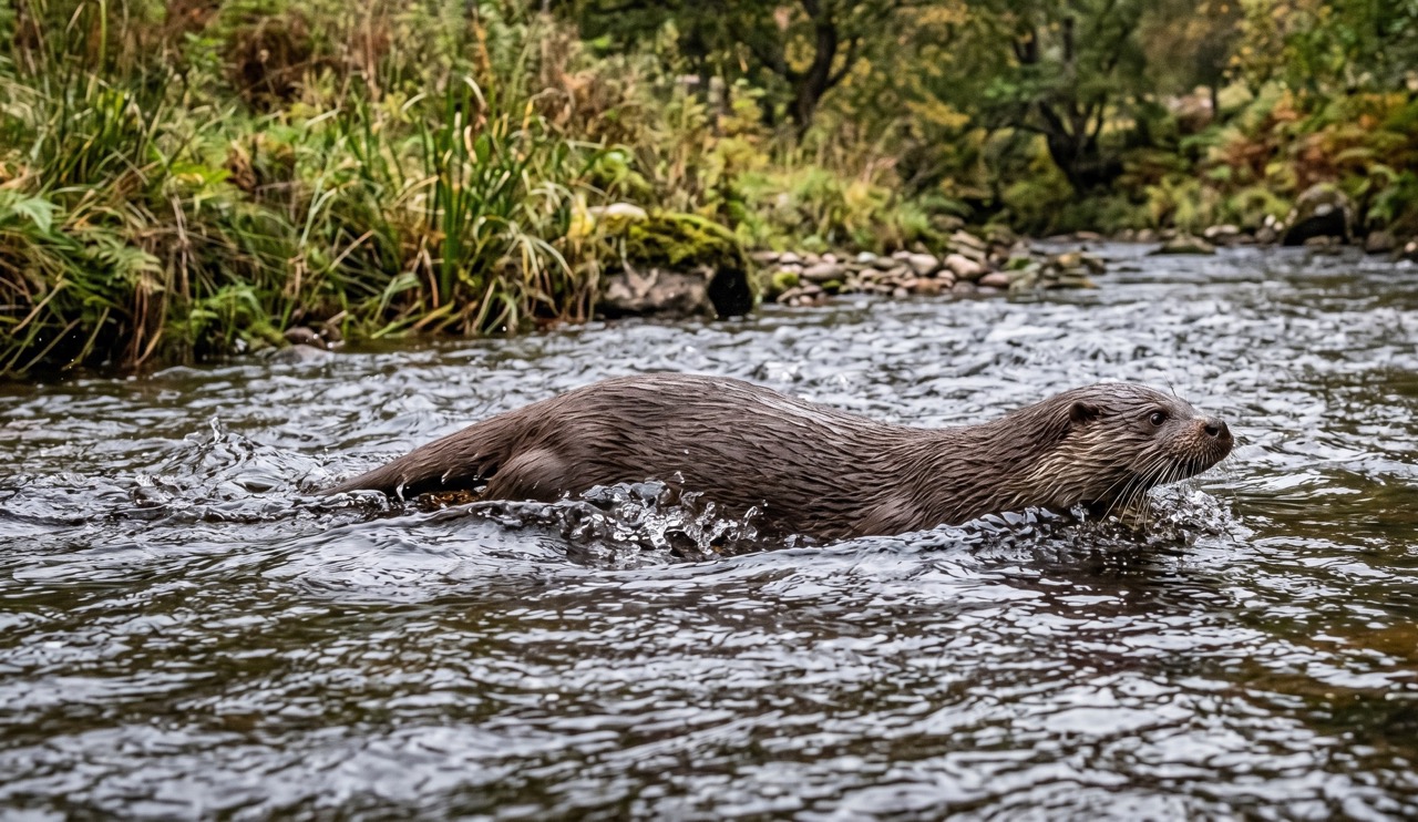
Otter
mammal
 Season approaching
Bilberry
plant
 Peak season
Moorland Fungi
fungi
Recent sightings on this walk
Real sightings submitted by walkers on this route
No sightings reported for this walk yet — be the first to add one.
History along the route
Walk information is based on direct experience and local knowledge. Conditions on the moor can change — always use your own judgement.
More walks to explore
All walks
Ebbor Gorge Hidden Trails
There’s a slightly wild edge to Ebbor Gorge. Not dramatic like a mountain, not open like the moors — but enclosed, steep, and just unpredictable enough to feel like an adventure. It’s one of those walks where you don’t just “complete a route”… you wander it.

Knowlton Church & Earthworks
A short walk to one of Dorset’s most atmospheric historic sites, where a ruined church stands inside ancient earthworks.

Badbury Rings Woodland Loop
Explore the ancient earthworks of Badbury Rings on a peaceful woodland loop with wide views and deep history underfoot.