
Georgian · Bodmin
The Cheesewring
A dramatic granite stack where natural geology meets Cornwall’s mining landscape.
Quick facts
Why this place matters
The Cheesewring matters because it is one of Bodmin Moor’s best-known natural monuments: a geological landmark that also became part of Cornwall’s wider story of landscape, identity and quarrying.
It looks impossible: huge slabs balanced high above the moor like a stone tower built by accident.
What it is
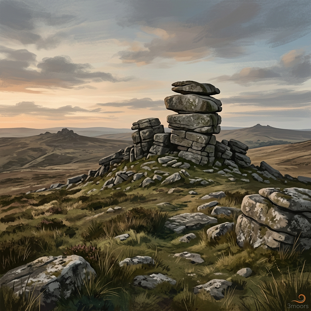
The Cheesewring is a natural granite tor formed by weathering on Stowe’s Hill.
Why it mattered
It mattered because this strange granite landmark became part of the identity of Bodmin Moor and was important enough to save.
What you can see
The stacked granite slabs, nearby quarry traces and wide views across Bodmin Moor.
Some landmarks are historic because people chose not to lose them.
What happened here
The Cheesewring is a natural granite tor formed by weathering, its piled slabs giving it the appearance of a huge stone press. That distinctive shape made it one of Cornwall’s most memorable landmarks.
Although not an archaeological monument in the same way as a barrow or stone circle, it belongs in the history of the moor because people have long treated it as a place of wonder, orientation and local identity.
Its survival was not guaranteed. Nineteenth-century quarrying nearby threatened the formation, and campaigns to protect it helped turn the Cheesewring into an early example of landscape value being defended against industrial pressure.
So the site tells two stories at once: deep geological time and the human decision that some places should be spared.
Key dates
Deep geological past
Granite formation created through natural processes
19th century
Nearby quarrying threatens the site
Later 19th century
The formation gains stronger public protection and fame
Today
Recognised as one of Bodmin Moor’s best-known landmarks
Standing here now
The first reaction is usually disbelief. It looks less like weathered stone than something carefully stacked by giant hands.
What to look for
The stacked granite formation itself
Stowe's Hill setting
Views across eastern Bodmin Moor
Nearby quarry landscape
Landscape & wider significance
The Cheesewring rises on Stowe’s Hill above the eastern flank of Bodmin Moor.
Its height and profile make it visible from a wide area, and the surrounding quarry landscape adds an important extra layer to what visitors see today.
Myths & folklore
Like many strange rock formations, the Cheesewring has inspired stories and strong local feeling. Its very shape encourages the sense that nature has built something almost deliberate.
Visiting today
Usually reached by walking from Minions. Ground can be rocky and uneven. In poor weather the exposed setting can feel harsher than it first appears.
Good to know
💡 Did you know?
🎯 Try this when you visit
🤔 Think about this
Map & Directions



Related history nearby
Bronze Age
Rocky Valley Carvings: Enigmatic Labyrinths by the Waterfall
Deep within a secluded Cornish gorge, two enigmatic labyrinth carvings are etched into the dark, wet slate of Rocky Valley. Their mysterious age – whether truly ancient or later creations – offers a tangible, silent puzzle that unfolds beside the constant rush of the River Trevillet.
Bronze Age
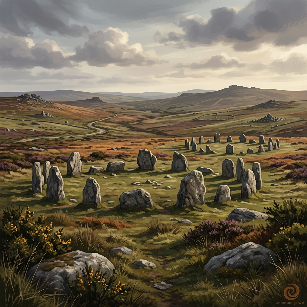
The Hurlers
Three remarkable stone circles on Bodmin Moor, where archaeology and folklore stand side by side.
Industrial
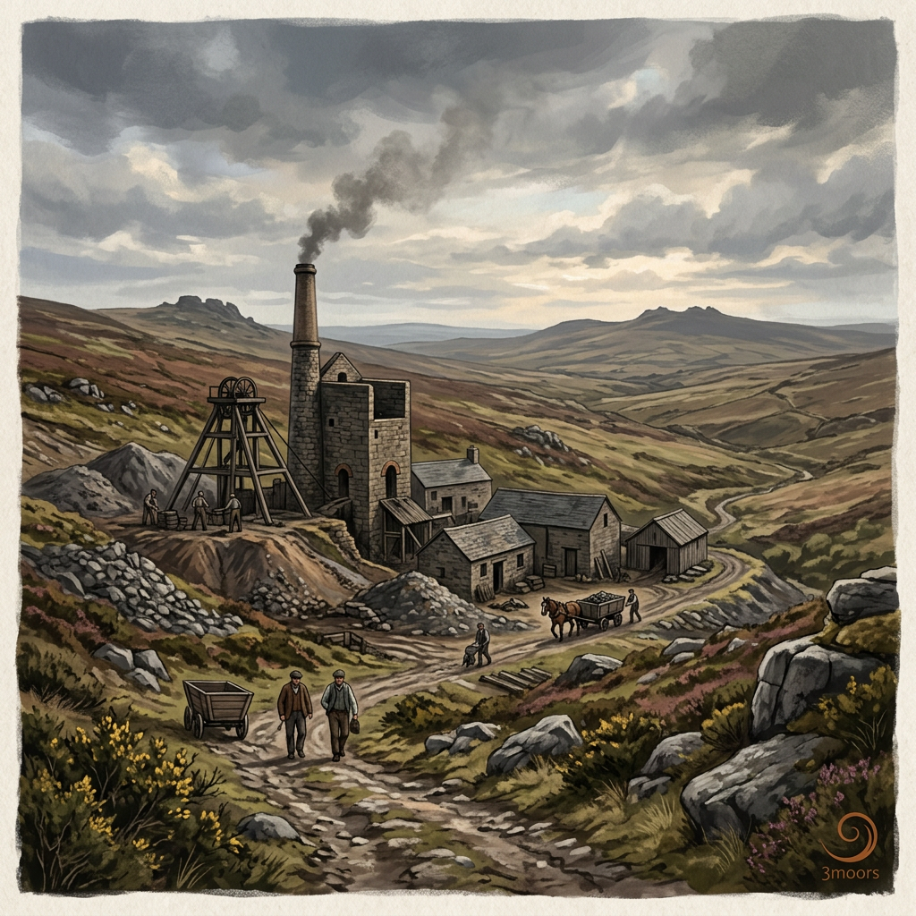
Prince of Wales Mine
A compact but important surviving Cornish mining site where industrial history remains visible on the ground.
Industrial
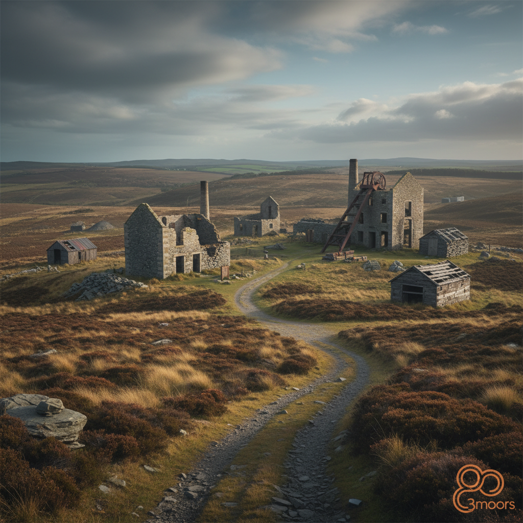
Wheal Coates
One of Cornwall’s most dramatic mining landscapes, where engine houses still stand above the Atlantic cliffs.
Join the 3moors Community for path conditions & local tips.
JoinNearby places
Quick facts
OS Grid Ref
SX 258 724