
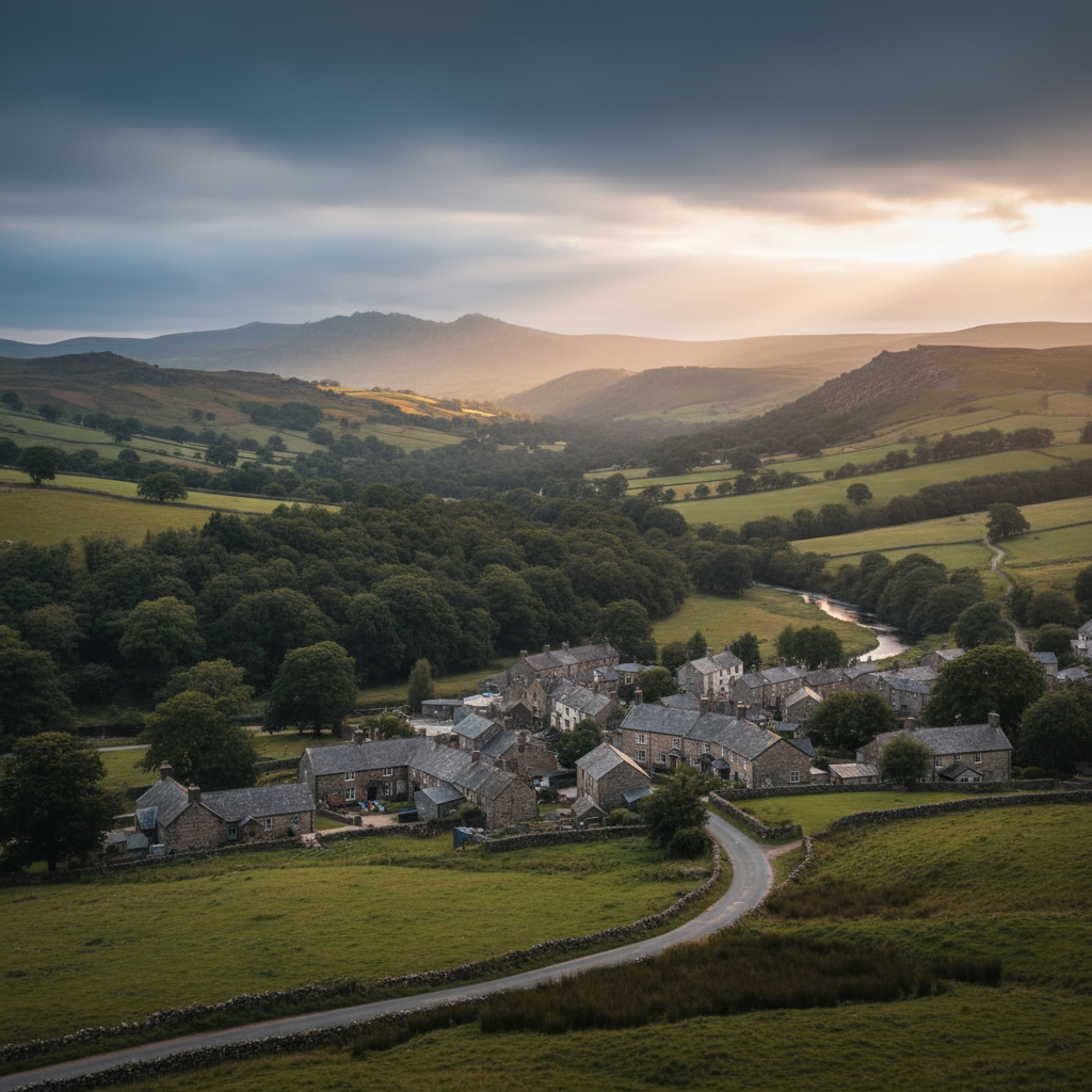
Dartmoor · North East Dartmoor
Drewsteignton
A handsome village near Castle Drogo and the dramatic Teign Valley.
About
Drewsteignton
Drewsteignton sits on a ridge above the Teign Valley in north-east Dartmoor, a position that gives it a quality of suspension, as if the village has been placed carefully between two different worlds: the wooded gorge below and the open moorland not far to the south and west. The lanes that approach it narrow to single-track before you reach the square, and that constriction feels deliberate, like a threshold. The village asks something of you before you arrive.
What settles on you here is a particular kind of quietness. Not the absence of sound, exactly, but a quality of unhurried stillness that belongs to places which have not been disrupted by too much attention. The square, the church, the pub that has operated under the same name for centuries: none of it performs for visitors. It simply continues, as it has for a long time, mostly indifferent to whether you are watching or not.
People come to Drewsteignton for different reasons. Some are here for Castle Drogo, the National Trust property on the promontory above the Teign, which draws a reliable stream of visitors throughout the season. Others come for the walking, drawn by the steep-sided valley and the marked circuits that thread through oak woodland and open common. A smaller number come for the village itself, perhaps without quite knowing why, and find themselves staying longer than planned.
Character
The feel of Drewsteignton
The square at the centre of Drewsteignton is modest in scale and entirely genuine in character. Thatched cottages face each other across a space that has not been tidied into a visitor attraction. The church of the Holy Trinity, thought to date from the fifteenth century, anchors the southern edge, its granite tower weathered to the colour of the surrounding hillside. The Drewe Arms, one of the longest continuously licensed pubs in England, occupies a corner of the square with the kind of quiet confidence that comes from not needing to announce itself.
What is easy to underestimate, until you spend a little time here, is the degree to which this is still a functioning community rather than a preserved one. Local life moves through the square on its own schedule. The pub serves its regulars as it serves its visitors, without great distinction between the two. The church is used for worship, not just for heritage tourism. Noticeboards carry the kind of practical information that belongs to a place where people actually live: events, services, planning notices. This is not a village that has been curated
it has simply persisted.
That persistence carries its own character. The community here has a long-established relationship with the land around it, and with the families that have farmed and managed it across generations. Castle Drogo, built for Julius Drewe in the early twentieth century, is the most visible emblem of that relationship, but it is not the whole story. The village pre-dates the castle by centuries, and that seniority is present in the stonework and the layout and the rhythm of the place in ways that require patience to read.
First-hand visit
Keith's Take
Something about the way the valley opens up below the lane made me realise I had been underestimating the place from the square above.
The sound of the river reached me before the trees had thinned enough to show it. A half-mile below the village, on a path that had been dropping steadily through oak woodland, the Teign announced itself through the understorey with the particular persistence of fast water over stone, and the path turned, and suddenly the gorge was there in full: steep-sided, wooded to both banks, the water running green and clear over a shelving granite bed. Nothing in the square above had prepared me for the scale of it.
Going back up through the village later, I noticed what I had passed through too quickly on the way down. The churchyard wall where the field opens south towards the moor. The Drewe Arms with its door standing open and a conversation audible from outside. A cat sitting in the sun on a granite step with the absolute conviction that it owned the square. Small things, but the kind that accumulate into a character. The village was not performing any of this for my benefit, which was exactly the point.
What became clear, moving through it in both directions, was that Drewsteignton is two places at once: the settled, unhurried village on the ridge, and the dramatic valley that it sits above without quite belonging to. Most visitors come for one or the other. The ones who take both in sequence, climbing back to the square with mud on their boots and the sound of the river still in their ears, get something closer to the whole thing.
Keith's Take — a first-hand account from the 3moors team
Map & Getting Here
Getting to Drewsteignton
What to expect
A natural way to spend time here
The village resolves itself quickly. From the square you can see most of what it contains: church, pub, a handful of cottages, the lane heading south towards the moor. There is no main road to cross, no car park at the centre, and no obvious tourist infrastructure beyond a noticeboard near the church. The scale is human and the layout is legible, so the first few minutes are about orientation rather than navigation.
In the lanes below the village, particularly those that drop towards the valley, there is a quality of sound that is hard to account for from the square above. The wind drops away, the birdsong changes register, and somewhere below the treeline you become aware of the river without yet being able to see it. On a still day in late spring, with the oak canopy not fully out, that layered sound arrives before the view does.
This is a place that rewards the patient visitor over the efficient one. Moving through it quickly, even in a small car, means missing the things that are set slightly back: a granite gatepost half-consumed by moss, a field gate with a view that opens suddenly to the south, the pub's handwritten board. The approach that seems to work best is to park, put nothing on a schedule, and let the place's own pace set yours.
What makes it stand out
What makes Drewsteignton special
What separates Drewsteignton from other Dartmoor villages of similar size is its position relative to the landscape. It is not a moorland village in the way that, say, Belstone or Moretonhampstead are moorland villages. It sits at the edge of things, looking down into the deep-cut Teign Valley on one side and gesturing towards the open moor on the other. This edge-position means that the landscape does not press in uniformly from all directions
instead it arrives differently depending on which way you face, which gives the village an unusual range of mood for something so compact.
The Teign Gorge, which begins its most dramatic passage just below the village, is a genuinely significant piece of landscape: ancient oak woodland, a fast-running river, and a depth of valley that feels disproportionate to the modest plateau above. Very few Dartmoor villages have direct walking access to something of this quality and scale. Castle Drogo, positioned on the headland above the gorge, adds another dimension, but it is the valley itself rather than the castle that gives Drewsteignton its most distinctive quality. The view down into it from the lanes above the village carries a sense of scale that the square itself does not prepare you for.
Don't miss
Things to see and do
Walk down into the Teign Gorge from the village and stay with the river long enough to let your eyes adjust to the light under the canopy.
Cross the river at Fingle Bridge and look upstream from the parapet at the water running over granite shelves.
Watch for grey wagtails working the shallows where the current slows near the bridge pools.
Visit Castle Drogo in the afternoon, when the light comes sideways across the granite facade and the views down the valley hold more depth than they do at midday.
Take the Hunter's Path along the ridge above the gorge, where the woodland opens briefly and the full length of the valley becomes visible below you.
Pause at the churchyard in Drewsteignton itself, where the field boundary beyond the wall gives you a clear line south towards the higher moor.
Sit at the Drewe Arms long enough to hear the conversation rather than just order from it.
Take the lane east from the village square at dusk and notice how quickly the light changes in the valley below.
Walks from here
Getting out from Drewsteignton
The most well-used route from the village drops steeply down to Fingle Bridge, following lanes and then a wooded path into the gorge. From the bridge, the Fisherman's Path runs upstream along the south bank of the Teign, threading through ancient oak woodland with the river close and audible throughout. A return can be made via the Hunter's Path on the opposite bank, which runs at a higher level and gives intermittent views across the valley to Castle Drogo on its promontory. This circuit is probably three to four miles depending on the variations taken, and involves some ascent on the return leg.
For those wanting to push further onto the open moor, there are routes from the village that head south-west across farmland towards Chagford, with the character of the landscape shifting noticeably as the enclosed fields give way to moorland fringe. The Two Moors Way passes within reach of the village, offering a longer link if you are walking a connected route rather than a day circuit. The terrain is varied rather than demanding, and most routes from Drewsteignton are accessible to reasonably fit walkers without specialist equipment.
Good to know
Before you go
Parking in the village is limited and the lanes are narrow. On busy summer days, particularly when Castle Drogo is drawing visitors, the approaches can become congested. Arriving early in the morning or later in the afternoon avoids most of this. The Drewe Arms has historically operated with traditional pub hours rather than all-day opening, so it is worth checking current times before planning a stop around it.
Fingle Bridge is accessible by car via a narrow lane from the A382, which means that on fine weekends in summer the bridge and its immediate surroundings can become crowded even when the village above is quiet. The gorge itself absorbs numbers better than the car park suggests it might, and walking even a short distance from the bridge in either direction usually brings solitude. Sturdy footwear is advisable for the valley paths, which are well-maintained but can be slippery after rain.
Across the seasons: The gorge below Drewsteignton is at its most considered in April and May, when the sessile oak comes into leaf gradually and the woodland floor still holds enough light for bluebells and wood anemones before the canopy closes. The river runs with more force in spring, audible from higher up the path than in summer, and the combination of new leaf, clear water, and cool air produces a particular quality of freshness that is specific to this kind of deep-cut, west-facing valley. Summer brings the full weight of the canopy and a warmth in the gorge that is sheltered from the moorland winds above. It is the busiest period by some margin, with Castle Drogo attracting steady visitor numbers and Fingle Bridge functioning almost as a destination in its own right. The village itself remains calmer than the valley below, and the square on a July morning retains its ordinary character even when the lanes below are busy. Late October is worth noting specifically. The oak woodland turns a range of copper and ochre shades that are richer than the beech woodland found elsewhere on Dartmoor's edges, and the lower light of autumn moves through the valley at a different angle, catching the canopy from the side in a way that summer's overhead light does not. Weekday visits in October are measurably quieter than weekends, and the Drewe Arms has a particular appeal in that context.
Practical info
Practical info
Parking in Drewsteignton is limited and largely informal. There is a small public car park near the village square, but spaces fill quickly on weekends and during the summer months. Visitors arriving by car should allow time to find a spot without blocking village lanes or residents' access. Do not rely on roadside parking along the approach roads without checking local signage first.
The Square has a pub, The Drewe Arms, which serves food and drink, and there is a village church. There are no public toilets confirmed as permanently open in the village centre, so plan accordingly. Shops and services are minimal. For a fuller range of provisions, Moretonhampstead, a short drive away, is the nearest practical option.
The village itself is easy underfoot, with surfaced lanes and a level square. Walks descending into the Teign Gorge involve steep, rooted, and sometimes muddy paths that require sturdy footwear. After prolonged rain, valley paths become slippery and river levels can rise quickly. Those sticking to the village and its immediate field paths will find conditions considerably more forgiving than the gorge routes.
varies
Explore nearby
Places nearby
Dunsford
Dunsford combines village calm, wooded valley scenery and access to one of Dartmoor’s softer, greener edges.
North Bovey
North Bovey combines rural calm with excellent access to eastern Dartmoor scenery.
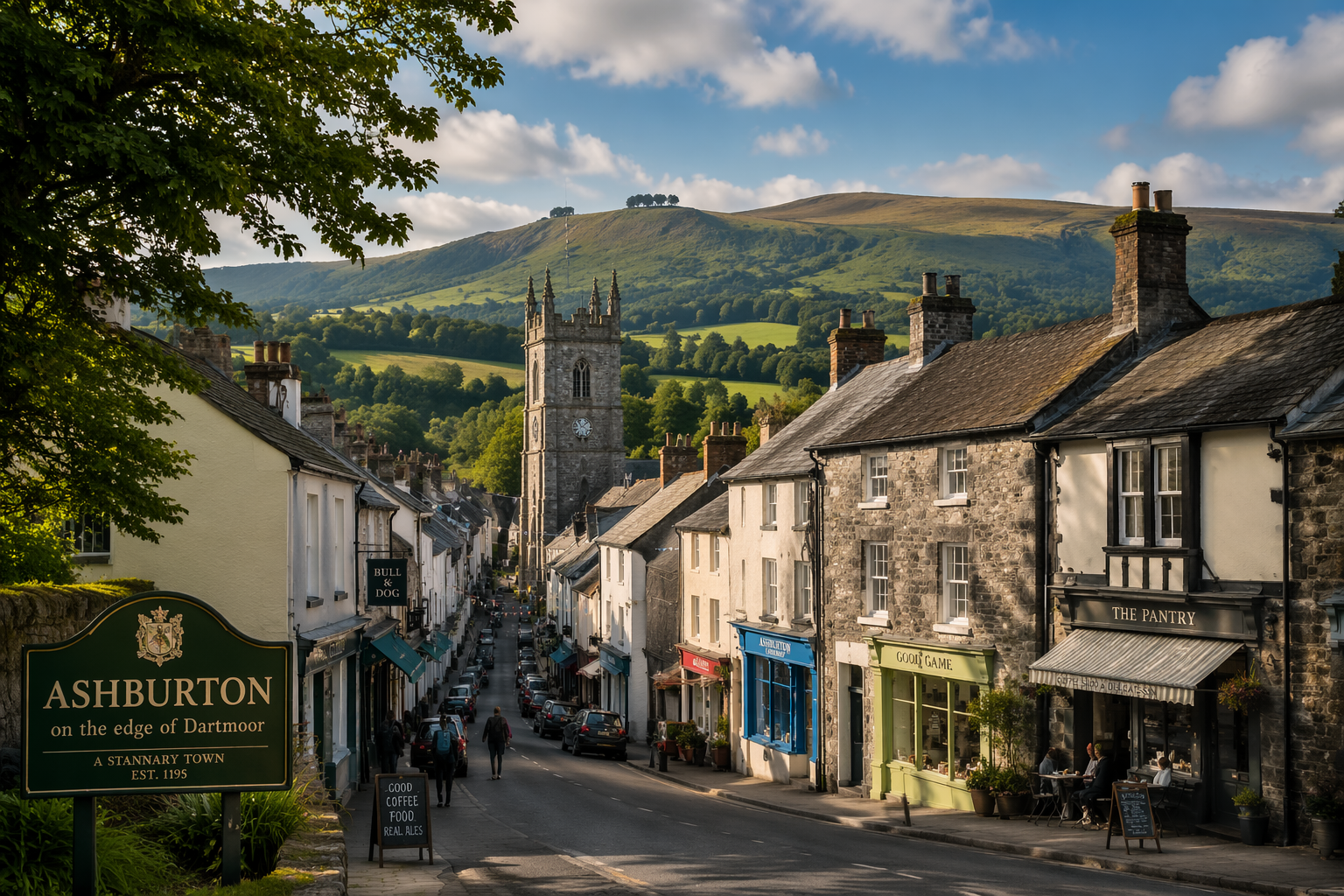
Ashburton
A lively Dartmoor-edge town combining independent shops with quick access to the moor.
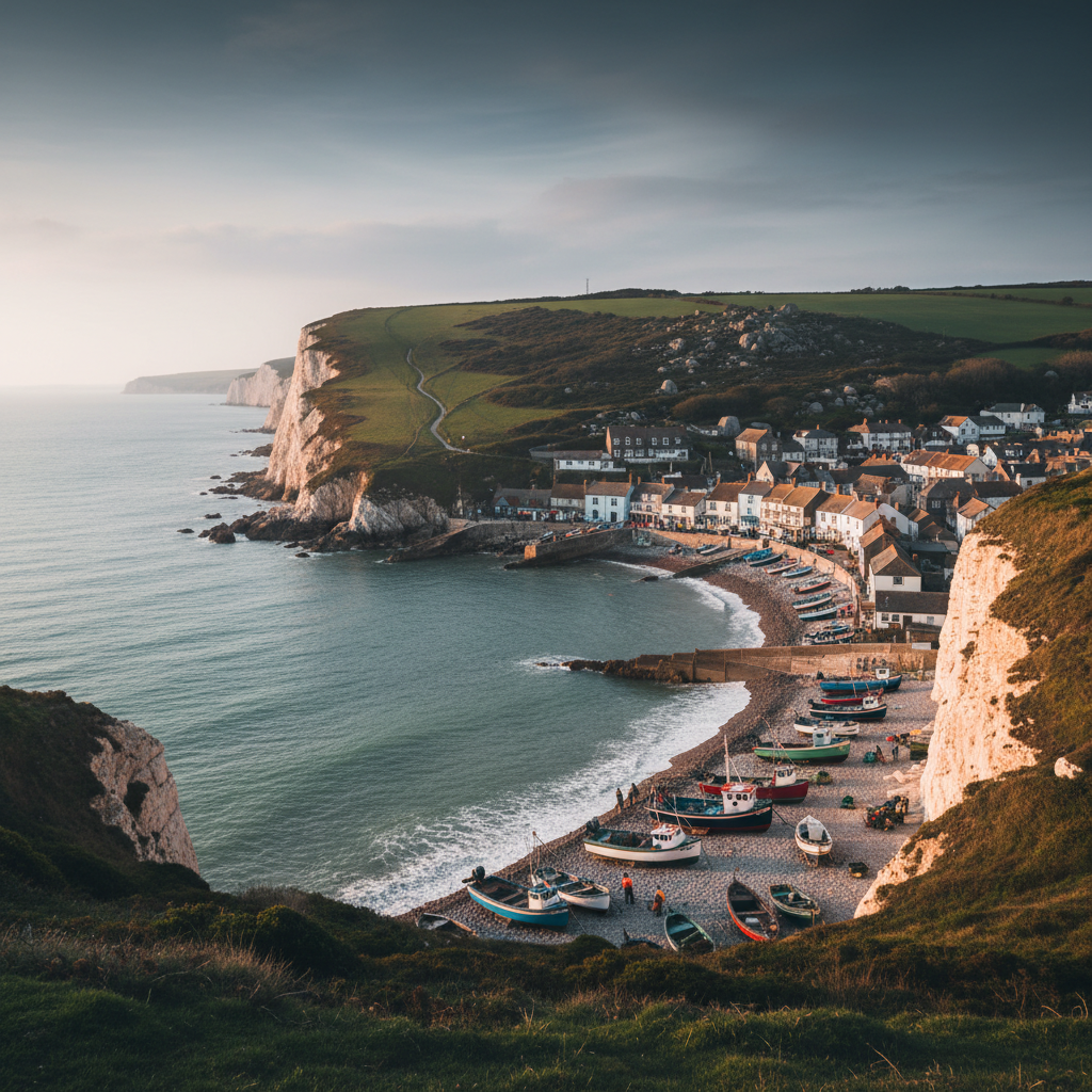
Beer
Beer combines beach atmosphere, fishing heritage and dramatic coastal scenery.
Join the 3moors Community for path conditions & local tips.
JoinWhy this place matters
Drewsteignton — in its own right
The landscape setting of Drewsteignton is not the kind that announces itself on arrival. The village sits on its ridge with a certain self-containment, and the gorge below remains invisible until you commit to finding it. That quality of concealment is part of what the place offers: a landscape that withholds something, that asks for a degree of effort before it gives up its scale and depth. What stays with you, when you eventually climb back up to the square and sit with a drink outside the pub, is a recalibrated sense of the country around you. The plateau suddenly seems thinner than it did before, more provisional, underlain by the depth of the valley you have just walked through. Drewsteignton occupies that threshold position with an ease that feels long-practised. It is not quite moorland and not quite lowland Devon; it is the seam between them, and for a certain kind of visitor that is precisely what makes it worth returning to.
Explore more
Discover other places, walks, and hidden corners across Dartmoor.