
Dartmoor · North Dartmoor
Throwleigh
A quiet village beneath the northern slopes of Dartmoor’s open uplands.
About
Throwleigh
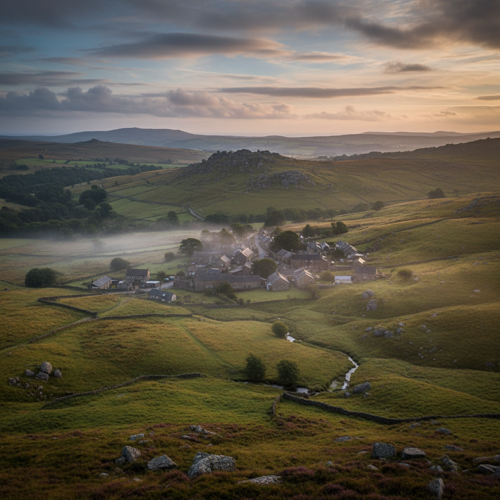
Throwleigh sits on the northern edge of Dartmoor, tucked into a fold of land where the lanes narrow and the hedgebanks rise steeply on either side. It is not a village that announces itself. The approach from any direction involves a gradual compression of the world: roads tightening, views shortening, until the first granite-walled cottage appears and the settlement quietly declares itself. The moor is close here, not as a backdrop but as a presence, visible from the upper end of the village as open ground rising towards Cosdon Hill and the broad shoulders of the northern plateau.
The village occupies a position that feels genuinely transitional. Below it lie the enclosed farmlands of the Taw valley, hedged and ordered, worked for centuries. Above it, within walking distance, the enclosures give way to open grazing land, to thorn scrub and bog, to the kind of terrain where a compass earns its keep. Throwleigh stands at the point where the managed and the unmanaged meet, and that relationship gives the place a quality that purely pastoral villages lack. There is always, from almost anywhere in the village, a sense of the open moor waiting at the edge of things.
The landscape setting is not dramatic in the way of the southern tors, where rock erupts from the hillside in theatrical formations. Here the drama is subtler: long views across undulating ground, a sky that feels wide even on grey days, and a quality of light in the late afternoon that turns the moorland grass to something between gold and copper. The village itself is modest in scale, a loose cluster of stone buildings gathered around a church and a road junction, with no particular centre to speak of, just a sense that things have settled here over a long time.
People come to Throwleigh primarily to walk, and the village repays that intention well. The access to the northern moor is direct and varied, with routes that suit both the half-day visitor and those looking to spend a full day on the high ground. But there is also something to be said for simply arriving and letting the village reveal itself at its own pace before the walking begins.
Character
The feel of Throwleigh
The built character of Throwleigh is straightforwardly Dartmoor: granite walls, low rooflines, a church tower that doubles as a landmark from the surrounding fields. The church of St Mary the Virgin is thought to date from the fifteenth century, and its proportions feel in keeping with a community that has always been small and self-contained. The churchyard is maintained but not manicured. There are lichened headstones at uneven angles, and the whole enclosure has the quality of a place that has been part of daily life for so long it has stopped needing to impress.
What gives Throwleigh its particular local character is not any single feature but the accumulated evidence of a community that has remained genuinely inhabited rather than becoming a repository of holiday lets. There are working farmsteads on the edges of the settlement, and the lanes carry the evidence of agricultural use: a tractor turning circle worn into the verge, a gate tied with orange twine, a stack of timber under a corrugated roof. These are not scenic details arranged for a visitor's benefit. They are the residue of how this place actually operates, and that residue gives the village a texture that more photographed Dartmoor settlements have largely lost.
The village hall and the church between them carry the social weight of the community. There is no pub, and the absence is worth noting not as a deficiency but as a clue to how Throwleigh functions. It is a place where the rhythms of life are oriented inward, towards the parish itself, rather than outward towards passing trade. That self-sufficiency gives it a particular kind of quietness, distinct from the quietness of an abandoned place. Things happen here
they simply do not happen for an audience.
Map & Getting Here
Getting to Throwleigh
What to expect
A natural way to spend time here
Moving through Throwleigh on foot takes no great effort but does require a certain willingness to let the place set the pace. The lanes are narrow enough in places that two walkers passing a car require brief negotiation, and there are sections where the hedgebanks are so tall and close that the sky appears only as a thin strip overhead. This compression is part of the character of the approach rather than a frustration with it. When the lane opens again at a field gate or a junction, the release of space feels genuinely earned.
On a still morning, the sounds that carry most clearly are agricultural ones: a dog at a farm somewhere to the west, the low conversation of cattle in a nearby field, the occasional clatter of something metal being moved in a yard. Birdsong fills the gaps between them. The church rooks are audible before the church itself comes into view. In autumn, when the bracken on the moor above has dried and the wind comes off the high ground, there is a faint mineral quality to the air, something between cold stone and turned earth, that is quite specific to this part of Dartmoor.
The most rewarding approach to Throwleigh is an unhurried one. This is not a place where things present themselves immediately. The details accumulate: the worn granite of a gatepost, a trough fed by a natural spring, the way the churchyard yew leans slightly south as if attending to something in the lower fields. A visitor who pauses for these things will leave with a more accurate impression of the place than one who passes through in the time it takes to photograph the church front.
What makes it stand out
What makes Throwleigh special
What distinguishes Throwleigh from other small Dartmoor villages at a comparable distance from the high moor is the directness of its upland access. From the northern end of the settlement, open ground is reachable within a short walk without navigating a long approach across enclosed farmland. That immediacy is relatively uncommon on this side of the moor, where many villages are set further back from the moorland boundary and require a kilometre or more of lane-walking before the terrain opens. Here, the transition is swift, and it shapes the experience of the place in a way that is difficult to quantify but easy to feel.
The second quality is more elusive. Throwleigh has not become a destination in the way that some Dartmoor villages have, and this is not simply a matter of lacking facilities. It is, in part, a consequence of position: it sits off the main tourist circuits, requires a deliberate detour to reach, and offers no single celebrated attraction to draw a crowd. What it offers instead is the thing that is hardest to plan for: the experience of a place that has not been adjusted for visitor consumption. The lanes are not signposted with walker-friendly encouragement. The church is not colour-coded in a heritage leaflet. The fields beyond the village boundary look the way they look because that is how they are farmed, not because anyone decided they should look that way.
Don't miss
Things to see and do
Walk north from the village edge until the last field boundary falls away and the open moor begins, then keep going until Cosdon Hill fills the horizon properly.
Stand in the churchyard long enough for the rooks to settle and resume their business in the trees above the tower.
Follow the lane westward past the older farmsteads and look at the way the field patterns have been laid against the contours of the land.
Find the natural spring or trough near the village and note what it tells you about why settlement took root here rather than somewhere else on this slope.
Read the churchyard headstones slowly, paying attention to the surnames that recur across different centuries.
Walk to the moorland boundary at dusk in late summer when the light on the northern slopes comes in flat and long from the west.
Linger at any gate that opens onto open farmland and look down the valley towards the Taw without rushing to move on.
Walks from here
Getting out from Throwleigh
The most immediate walking from Throwleigh leads north onto the moorland ground below Cosdon Hill (also called Cawsand Hill), one of the most prominent summits on the northern moor. The ascent from the village is gradual and the terrain underfoot varies between cropped grass and rougher moorland vegetation as height is gained. The summit gives a wide view that takes in much of northern Dartmoor and, on clear days, reaches well beyond the moor boundary. The return can be varied by descending on a different line, passing through the remains of field systems and enclosures that speak to earlier patterns of land use on these slopes.
For those wanting a longer circuit, Throwleigh connects naturally to the neighbouring parishes of Gidleigh and Shilstone, with lanes and field paths linking the settlements through a landscape of mixed farmland and moorland edge. The Gidleigh direction is particularly worthwhile: the route passes through terrain that becomes progressively more enclosed and ancient-feeling as it approaches Gidleigh village, where the remains of a small castle add an unexpected note to what is otherwise an undemonstrative pastoral walk. The whole circuit, including time on the higher ground, is manageable in a half day without undue effort.
The South Tawton direction offers a lower-level alternative for those who prefer to stay off the open moor entirely. The lanes and tracks between the two villages pass through farmland that is well-maintained and largely quiet, with the moorland visible as a raised horizon throughout. This is a useful option in poor weather, when the high ground above Throwleigh can be fully obscured and the appeal of the summit is substantially reduced.
Good to know
Before you go
Throwleigh has no shop, no pub, and no cafe. Provisions need to be arranged before arrival, and this is worth taking seriously rather than assuming something will present itself. The nearest reliable facilities are in South Zeal or Okehampton, both a short drive away. Parking in the village is limited and the lanes are genuinely narrow: larger vehicles require care, and turning opportunities can be infrequent in some directions. The verges on the approach lanes are soft in wet conditions and should not be used as additional parking width.
The footpaths onto the open moor north of the village are generally well-defined but can be boggy after sustained rain, particularly on the lower moorland slopes. Waterproof footwear is sensible for any visit outside the driest summer months. Mobile signal in and around Throwleigh is unreliable, so map access and any route planning is better done offline or with a physical map rather than depending on connectivity at the point of need.
Across the seasons: The village is at its most legible as a working settlement in the months between October and March, when the trees are bare and the farmsteads and field patterns are visible without summer foliage softening the edges of things. The seasonal rhythm of the agricultural year is more apparent in these months: livestock movements, the pattern of muddy gateways, the way the light changes across a ploughed field. The moor above the village in late October, when the bracken has turned fully to rust and the grass has gone pale, is a particular combination of colours that rewards a morning walk. Spring brings a rapid transformation to the lane verges, which in April and May are dense with cow parsley, stitchwort, and the first flush of new hedge growth. The effect is of a place that has contracted over winter and is now expanding back into the available space. This is also the period when the moor above is most actively used by ground-nesting birds, and some areas of open ground near the village boundary are worth approaching with care. Summer is the lightest season in terms of visitor pressure, which for a village of this size is never severe, but it is also the season when the character of the place is hardest to read. The lanes are enclosed, the hedgebanks full, and the view of the moor from the village edge is partially obstructed by vegetation. Those who want to understand the relationship between Throwleigh and its landscape are better placed in a shoulder season, when that relationship is more plainly visible.
Practical info
Practical info
Throwleigh has no dedicated visitor car park. A small number of vehicles can typically be left near the village green or along the wider verges close to the church, but space is limited and shared with residents. Arrival early in the day avoids the most awkward moments. Take care not to block field gates or narrow passing places on the lanes leading in.
Throwleigh is a working village rather than a visitor destination, and facilities reflect that. There is no pub, café, or shop within the village itself. Visitors should arrive self-sufficient with food, water, and any supplies needed. The nearest reliable services are in Chagford, a short drive away.
The village lanes and immediate footpaths are generally straightforward on dry ground, but the routes climbing north onto the open moor rise quickly and can become boggy after prolonged rain. Stout waterproof footwear is advisable even in summer, as the ground near the moorland fringe holds moisture long after rainfall has stopped. Paths are not always waymarked beyond the village edge, so a map and compass or downloaded route are worth carrying. The gradients onto the higher ground are moderate but sustained.
varies
Explore nearby
Places nearby
Belstone
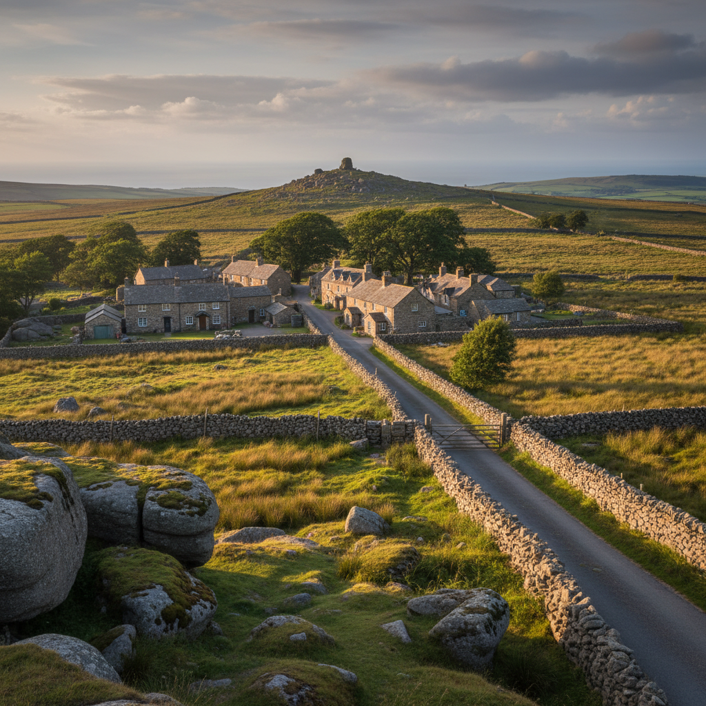
Belstone feels deeply connected to the moor, with immediate access to tors and upland walking.
Ashburton
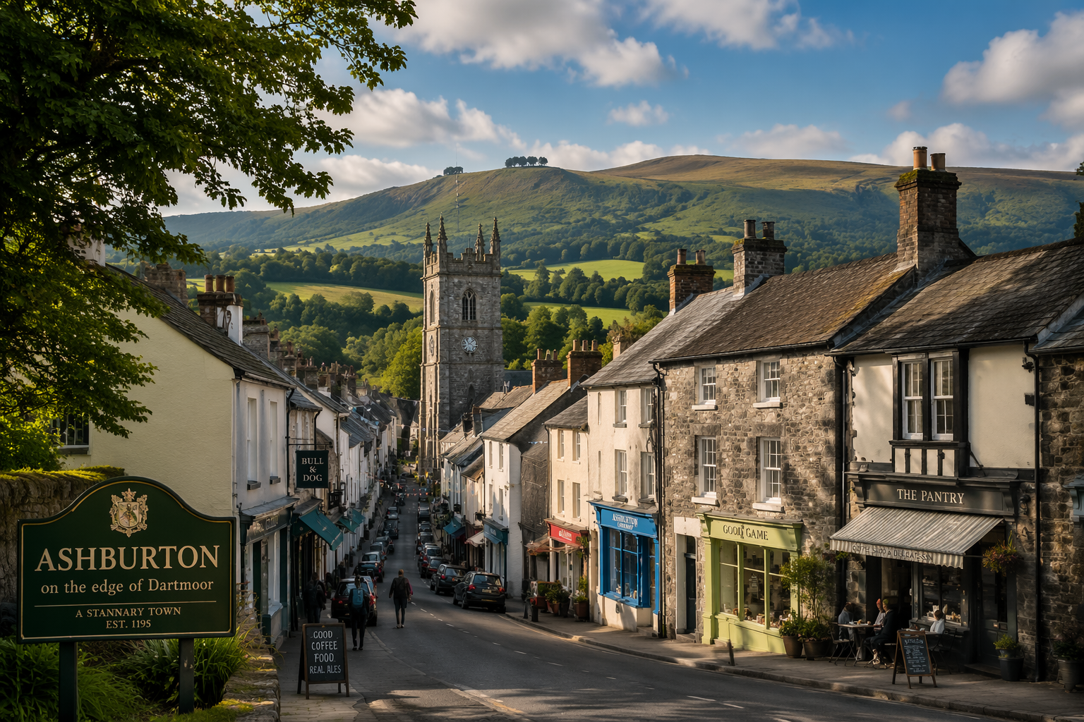
A lively Dartmoor-edge town combining independent shops with quick access to the moor.
Beer
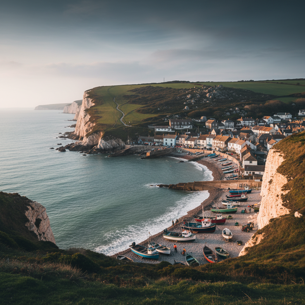
Beer combines beach atmosphere, fishing heritage and dramatic coastal scenery.
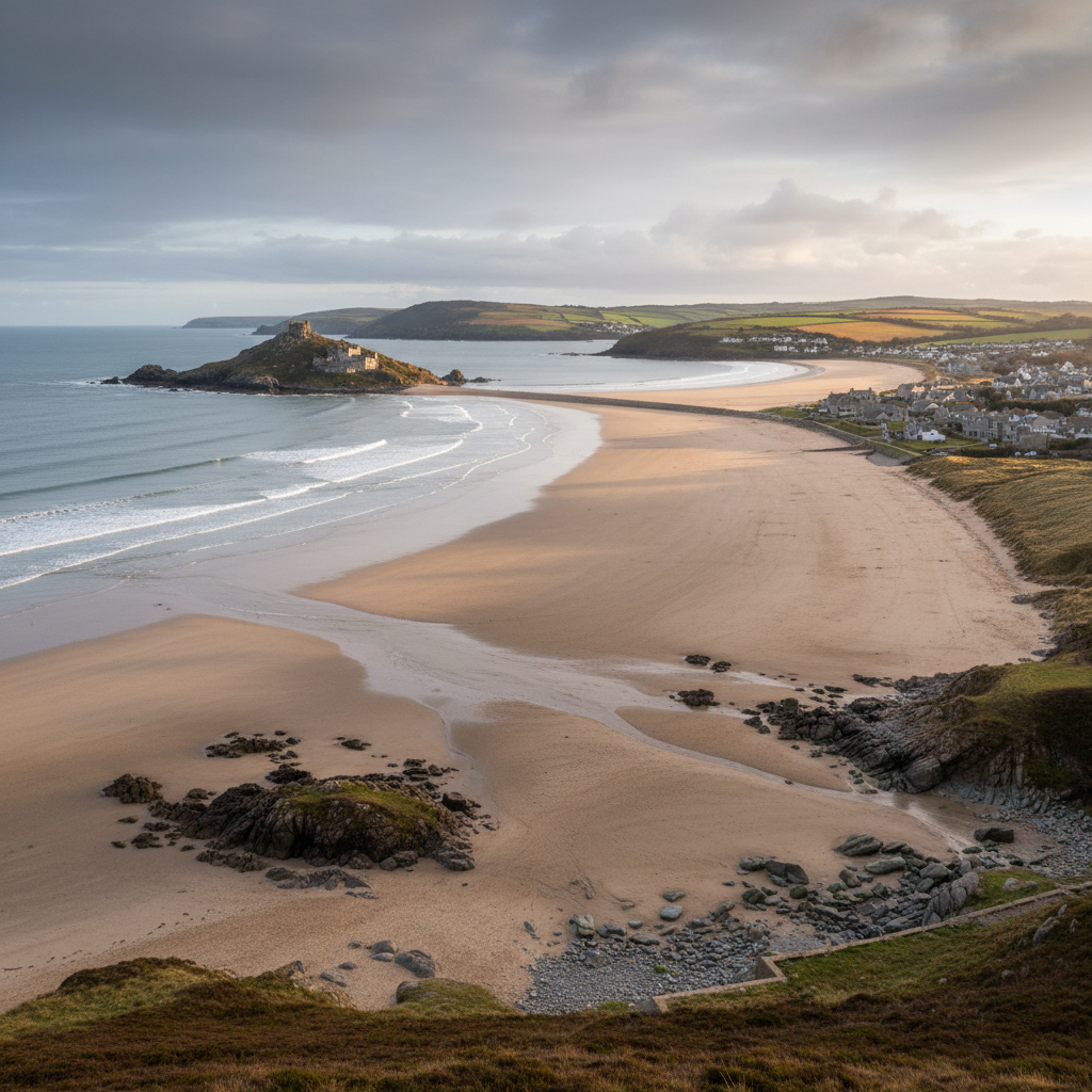
Bigbury-on-Sea
Bigbury-on-Sea is an obvious coastal place for the wider 3moors South West layer, especially for family days and photography.
Join the 3moors Community for path conditions & local tips.
JoinWhy this place matters
Throwleigh — in its own right
Throwleigh does not leave a dramatic impression. There is no single view, no celebrated building, no moment of arrival that consolidates the experience into a clear memory. What it offers instead accumulates more gradually, the way understanding of a place usually does when you are paying proper attention rather than waiting for it to perform. The walk back down from the northern moor in the late afternoon, with the village sitting quietly in the valley below and the Taw farmland spread out beyond it, is the kind of thing that stays with you not because it is exceptional but because it is exactly what this part of Dartmoor actually is. That quality, of a place being precisely and unaffectedly itself, is the thing that matters most about Throwleigh. The seasonal rhythms here are not themed or curated. The bracken turns because it turns. The rooks return to the churchyard trees because they have always returned there. The village exists at the pace it exists at, and a visitor who adjusts to that pace rather than trying to accelerate it will find more here than the map suggests.
Explore more
Discover other places, walks, and hidden corners across Dartmoor.