
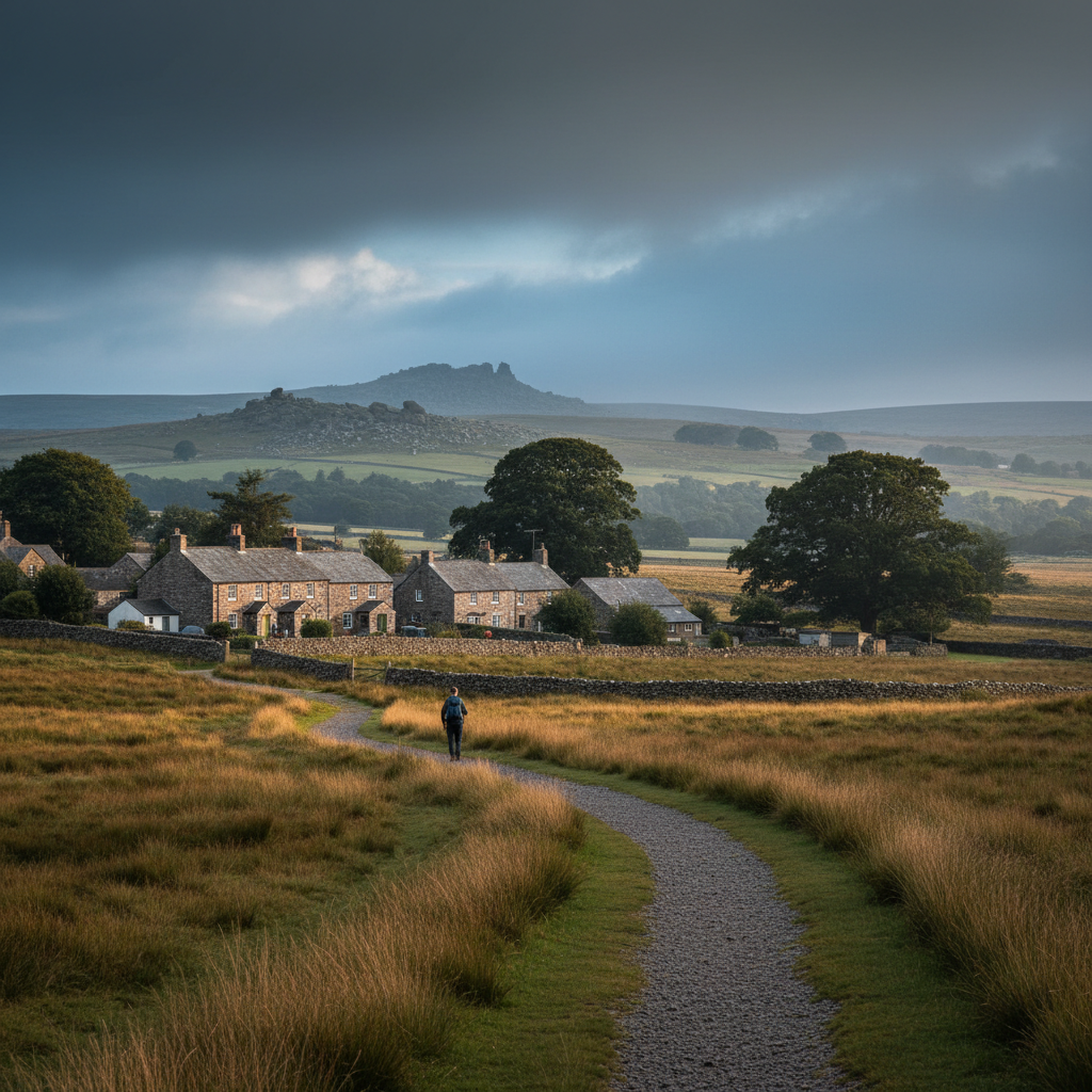
Dartmoor · South West Dartmoor
Yelverton
One of the easiest and most direct gateways onto western Dartmoor.
About
Yelverton
Yelverton sits on the western edge of Dartmoor, perched on a broad ridge where the suburbs of Plymouth give way, almost without ceremony, to open moorland. It is not a pretty village in the conventional sense. There is no ancient church at its heart, no stream threading through a green. What it has instead is position: standing at roughly 150 metres above sea level, with the moor rising immediately to the east and the wide bowl of the Tavy valley dropping away to the north and west, it offers one of the most direct and unhurried routes onto western Dartmoor available by road.
The village grew substantially in the twentieth century, drawn outward along the B3212 and the quieter lanes that branch from it. A handful of older stone buildings survive among the newer housing, but Yelverton reads more as a working edge-of-moor settlement than as a heritage destination. It has a garden centre, a petrol station, a pub, a scattering of small businesses. These are signs of a place that functions, that serves the people who live in it rather than arranging itself for those passing through.
The local character here is shaped, in large part, by that dual identity: part suburban fringe, part moorland threshold. The people who live in Yelverton tend to know the moor well. Dog walkers head out early onto Roborough Down before most visitors have arrived. Cyclists load up at the Leg O' Mutton car park. Walkers set off without fanfare along the old railway trackbed. There is a certain matter-of-factness to the place that is, in its own way, reassuring.
For visitors, the draw is almost entirely outward. Yelverton is not somewhere you come to linger in the settlement itself. It is somewhere you come to begin, to orientate, to step from tarmac to turf. The moor here is not the high, exposed wilderness of the northern quarter. It is more open pasture and ancient down, with long sightlines and well-worn paths, and it rewards those who take even a short walk from the village centre with a sense of genuine space.
Character
The feel of Yelverton
The village does not cluster around a focal point in the way that older Dartmoor settlements do. Instead, it spreads along its ridge road in a loose, unconcentrated way, with the roundabout at its centre serving more as a traffic decision point than as any kind of civic heart. The Yelverton pub sits nearby, practical and unpretentious, and the village war memorial stands at a junction that most people pass without stopping. There is a low-key civic quality to all of this that is not unattractive. The place is not trying to be anything other than what it is.
What gives Yelverton its particular rhythm is the way the seasons change the texture of daily life here. In summer, the lanes fill with walkers and cyclists moving to and from the moor, and the car park at Roborough Down sees a steady flow of families. By late October, when the bracken has gone to rust and the mornings carry a sharp edge, the landscape empties and the village reasserts its quieter, more self-contained character. Through winter, the regulars are out on the Down in all conditions: mist, low cloud, the occasional frost that stiffens the grass and sharpens the air. Spring arrives visibly on the moor before it registers in the village itself, the gorse flowering yellow on the down weeks before the garden hedges show any green.
This responsiveness to season is felt rather than announced. There are no festivals, no organised seasonal events of note. The change is registered in the car park, in the pub, in the number of cars with muddy boots in the back. For a village on the edge of open country, that is rhythm enough.
Map & Getting Here
Getting to Yelverton
What to expect
A natural way to spend time here
From the village, the Down opens up almost immediately to the east of the main road. A short walk from the car park brings you out onto open turf where the path networks multiply quickly and the decision about which direction to take feels genuinely your own. The ground is firm underfoot for most of the year, grazed short by cattle and ponies, and the granite outcrops that surface through it are worth pausing at rather than treating as mere waypoints.
Stand still for a moment on the Down and the sounds that reach you shift quickly from road noise to something more elemental. Skylarks in spring and early summer, sometimes at considerable height and easy to lose against a pale sky. The wind, which moves across this exposed ridge with no obstruction, carrying with it, depending on the season, the faint sweetness of gorse or the cold mineral smell of rain coming in from the west. On still days, the silence has a quality that surprises people who expected something wilder or more dramatic.
The place rewards a patient, attentive approach more than it rewards ambition. Those who come with a specific summit or destination in mind tend to move too quickly through country that pays back observation. Walk without a fixed turnaround point and the Down reveals itself gradually: the shallow channels worn by decades of cattle movement, the patches of rushes marking wetter ground, the long views that extend further than you expect as the ridge unfolds.
What makes it stand out
What makes Yelverton special
What distinguishes Yelverton from other western Dartmoor access points is the quality and immediacy of the open ground it sits beside. Roborough Down begins almost at the village edge, a broad tract of unfenced common land with wide views south towards Plymouth Sound on a clear day and a surface of short turf and granite outcrops that requires no preparation to walk. Unlike Princetown or Postbridge, you do not need to drive further once you have arrived. The transition from car to open moor is measured in minutes, not miles.
The old Great Western Railway trackbed, now part of the Plym Valley Cycling and Walking Trail, is the other genuinely specific quality of this location. It runs south from the Leg O' Mutton car park through woodland and alongside the River Plym, connecting Yelverton to Clearbrook and eventually to the Plym Valley further south. The trail is well-maintained and mostly level, which makes it accessible to a wider range of visitors than many moorland routes, but it passes through country that is quietly absorbing: mixed woodland, glimpses of the river below, the occasional remnant of the old viaduct infrastructure. It offers a different kind of Dartmoor to the open tor country, and having both available from the same starting point is, in practical terms, unusual.
Don't miss
Things to see and do
Walk east from the village onto Roborough Down at first light, when the turf is still wet and the moor is mostly your own.
Follow the Plym Valley Trail south from the Leg O' Mutton car park and listen for the river before you see it, through the trees below the old trackbed.
Look south from the high point of the Down on a clear day for the unmistakable glint of Plymouth Sound between the hills.
Pause at the remnants of the old GWR viaduct piers that survive in the valley below the trail and consider the engineering ambition they represent in this landscape.
Watch for ponies on the Down in all seasons, but especially in late afternoon when they tend to move to lower ground.
Find the parish church of St Paul in the Buckland Monachorum direction, a short drive but worth the detour for its setting above the Tavy valley.
Walk north along the Down towards Crapstone on a quiet weekday morning when the path has been left entirely to the resident cattle and whatever weather the ridge is wearing that day.
Walks from here
Getting out from Yelverton
The most immediate walking option is simply out onto Roborough Down from the car park near the roundabout. The down extends northward in a broad corridor, and a circuit of an hour or so can be made by following the western edge of the open ground, dropping briefly into the lanes near Crapstone, and returning along the higher ground with the moor views to the east. There are no stiles and the terrain is almost entirely open
it is one of the more forgiving introductions to Dartmoor walking available anywhere on the moor's perimeter.
The Plym Valley Trail offers a contrasting route, heading south and downhill through the old railway cutting and then through mixed woodland alongside the Plym. The path connects to Clearbrook, a small village with its own pub, making a there-and-back walk of roughly six to seven miles in total, or a longer circuit if you are willing to return via the lanes above the valley. The trail is shared with cyclists but is wide enough that this rarely feels like a conflict. In the lower wooded sections, the path runs through ground that is noticeably damper and darker than the exposed down above, and the change in microclimate is perceptible even in summer.
For those wanting to push further east onto higher Dartmoor, the lanes from Yelverton towards Meavy and Sheepstor open up routes to Burrator Reservoir and the southern moor, where the walking becomes progressively more demanding and the views expand considerably. Sheepstor itself, a few miles by road and accessible on foot by determined walkers, sits beneath one of the more striking rock piles in the southern quarter.
Good to know
Before you go
The Leg O' Mutton car park near the old railway track is the most practical starting point for both the Down and the Plym Valley Trail, and it fills quickly on fine weekends between April and September. Arriving before ten in the morning on a Saturday avoids the worst of it. The village itself has limited parking on the main road and the roundabout area, so the car park is worth seeking out specifically.
The ground on Roborough Down drains reasonably well but the western edge near the lanes can hold water after prolonged rain. Waterproof footwear is sensible for any visit between October and March. The Plym Valley Trail is largely firm underfoot year-round, though fallen leaves in November can make the surface unpredictably slippery on the steeper sections near the valley floor.
Across the seasons: Late spring is the most rewarding time to visit for walkers who want the full breadth of what the Down offers. The gorse is in full flower through April and into May, and the skylark population is at its most vocal. The light on the moor at this time of year has a particular clarity that is harder to find in the haze of high summer. The Plym Valley below is thick with new leaf and the river, still carrying the volume of spring rainfall, is worth hearing from the trail above. Midsummer brings more visitors than the village is sized for, particularly at weekends, and the open ground around the car park can feel more pressured than the landscape warrants. Those who time their visits for weekday mornings in June or July will find the Down largely unchanged from spring, but with the added warmth that makes an early start genuinely pleasant rather than merely resolute. Winter is the season that most honestly represents Yelverton's character. From November through February, the village contracts back into its working self. The Down, stripped of bracken and lit low by winter sun when it appears, has a bleached, wide-open quality that makes the views feel longer than they do in summer. Mist gathers in the Tavy valley below and sometimes climbs the ridge, and on those days the village sits at the edge of something genuinely atmospheric. It is the season that rewards the prepared and patient visitor most directly.
Practical info
Practical info
Yelverton has a small free car park near the roundabout at the centre of the village, which is the most practical starting point for most visits. Spaces can fill quickly at weekends and during school holidays, particularly in summer when the moor beyond draws larger numbers. There is some roadside parking along the B3417, though drivers should be considerate of residents and avoid blocking field gates or narrowing already-tight junctions. Arriving early on busy days is advisable.
Yelverton has a small selection of local shops and a pub, which makes it better provisioned than many Dartmoor gateway points of comparable size. Public toilets are available in the village, though visitors should check seasonal opening hours before relying on them. There are no visitor centre facilities or dedicated moorland information boards here. Those planning longer walks should carry sufficient food, water and navigational aids before heading onto the open moor.
From the village centre, tracks and paths lead quickly onto open moorland, with gradients that are generally gentle at first before the terrain rises towards the higher ground to the north and east. Surfaces vary: some paths are well-maintained and gravelled, while others become boggy and indistinct after prolonged rain. Waterproof footwear is strongly recommended outside the driest summer months. The exposed ridgelines above Yelverton offer no shelter, and weather can shift rapidly, so layering and a wind layer are worth carrying year-round.
varies
Explore nearby
Places nearby
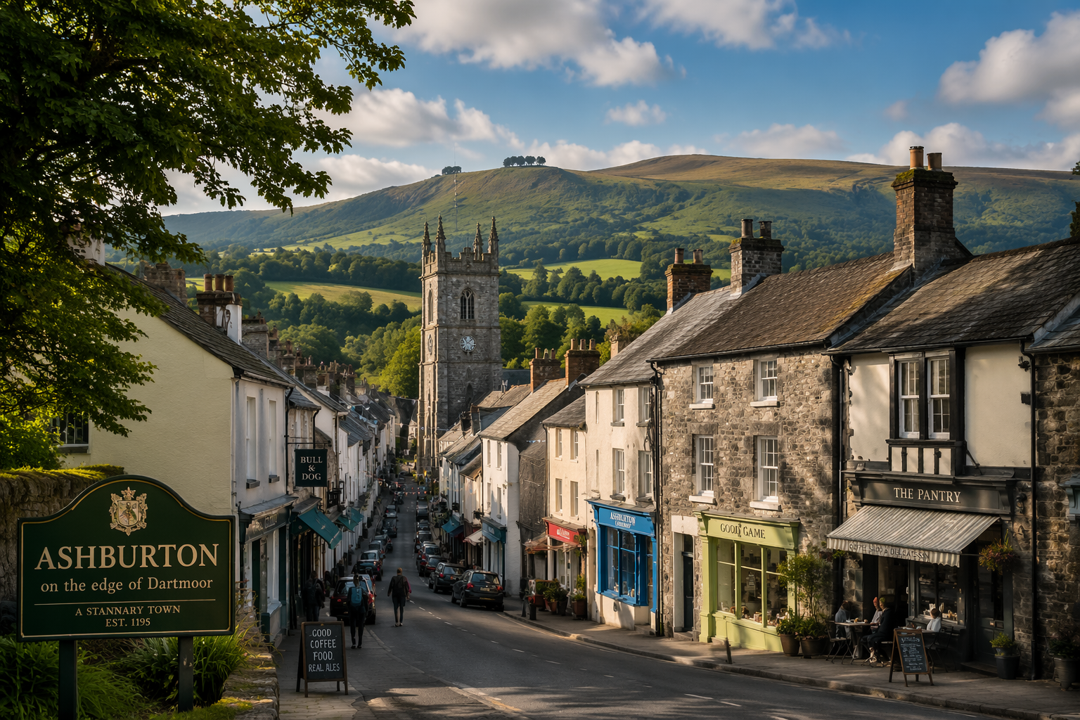
Ashburton
A lively Dartmoor-edge town combining independent shops with quick access to the moor.
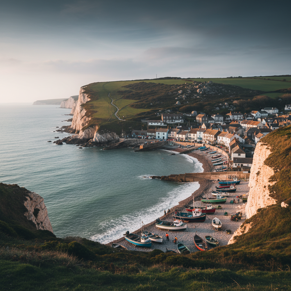
Beer
Beer combines beach atmosphere, fishing heritage and dramatic coastal scenery.
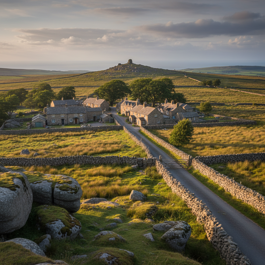
Belstone
Belstone feels deeply connected to the moor, with immediate access to tors and upland walking.
Bigbury-on-Sea
Bigbury-on-Sea is an obvious coastal place for the wider 3moors South West layer, especially for family days and photography.
Join the 3moors Community for path conditions & local tips.
JoinWhy this place matters
Yelverton — in its own right
What Yelverton offers is not the Dartmoor of postcards or guidebook covers. There are no dramatic tors above the village, no rushing watercourses or ancient clapper bridges within easy reach of the car park. What there is instead is a place that speaks honestly about rural life on the moor's edge: the daily business of living beside open land, the quiet integration of work and weather and walk that characterises the settlements that actually function as communities rather than as visitor destinations. That quality is worth something. Places that have not arranged themselves around the visitor gaze tend to have a straightforwardness that is, in the end, more nourishing than prettiness. Yelverton is a village where people bring their dogs in all weathers, where the pub fills with walkers who are not performing being on Dartmoor but simply getting on with it. Leaving it, you carry not so much the memory of a view as a sense of how this part of the moor fits into the ordinary lives of the people who live beside it.
Explore more
Discover other places, walks, and hidden corners across Dartmoor.