

Dunkery Beacon from Horner
Dunkery Beacon is the highest point on Exmoor and one of the finest viewpoints in the South West.
3moors Verified
This route has been reviewed and prepared by 3moors using mapping, terrain analysis, local knowledge and editorial review.
About this walk
Starting from the peaceful village of Horner, this is one of Exmoor’s finest “journey walks”, beginning in deep, mossy woodland and finishing on the wide, open roof of the moor.
The route follows the East Water through Horner Wood, one of the largest stretches of ancient oak woodland in England. Here the air feels cooler, the light softer, and the ground underfoot often damp and leaf-strewn. It’s a slow, steady start, perfect for warming up before the climb begins.
As you leave the woodland behind, the landscape opens dramatically. The trees thin, the sky expands, and you begin the steady ascent onto Exmoor’s high ground. This is where the character of the walk changes completely, from enclosed and sheltered to exposed and wild.
The final push to Dunkery Beacon is broad and steady rather than steep, but it can feel demanding, especially in wind. At 519 metres, it’s the highest point on Exmoor, and on a clear day the reward is immense, views stretching across the Bristol Channel, into Wales, and deep across the rolling spine of the moor.
This is a walk of contrasts, woodland to open moor, quiet valley to expansive skyline, and one that feels far bigger than its distance suggests.
Who this walk is for
Who this walk is for
- ✔Confident walkers
- ✔Good fitness
- ✔Those comfortable with longer climbs
- ✖Beginners
- ✖Poor visibility conditions
The Experience
• Effort: Moderate, sustained climb
• Highlight: Exmoor's highest point and wide views
• Start: Horner village
• Terrain: Woodland, moorland, summit ridge
• Best for: A varied, classic Exmoor walk
Elevation Profile
Illustrative profileRoute Summary
The route begins in Horner and rises through beautiful woodland, following old tracks and paths that gradually gain height. As the trees thin out, the landscape opens into classic Exmoor moorland. From the summit of Dunkery Beacon, views stretch across Exmoor, the Bristol Channel and, on clear days, to Wales. The return route gives a lovely contrast between exposed high ground and sheltered woodland.
Landscape & History
Horner Wood is part of the ancient royal hunting forests of Exmoor, where oak woodland has covered these slopes for centuries. The combination of water, shelter, and old growth trees makes it one of the richest ecological areas on the moor.
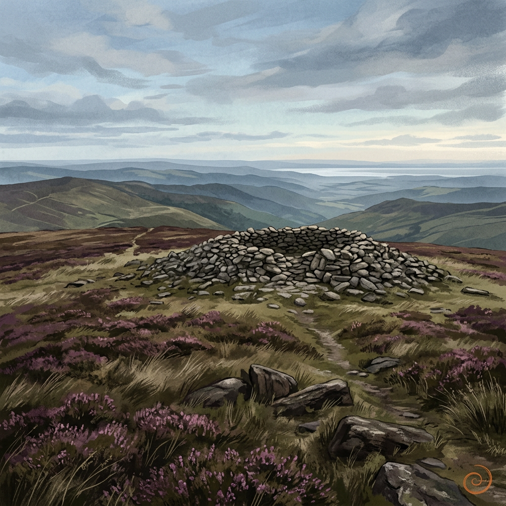
Dunkery Beacon itself has long been a landmark, used historically for navigation and likely far older in significance, possibly even as a prehistoric lookout point. Its name is thought to derive from “Dun Torr,” meaning hill or fort, hinting at ancient use.
Safety & Conditions
Weather
Conditions can feel very different between the sheltered woods and exposed summit. Carry layers and waterproofs.
Navigation
Navigation is simple in clear weather, but cloud can settle over the summit ridge and reduce visibility.
Livestock & Wildlife
Livestock may be present on the moor. Keep dogs under control, especially around grazing animals.
Footwear
Waterproof boots are strongly recommended due to muddy woodland paths and exposed summit ground.
Variations
• Shorten the walk by turning back before the summit when leaving the woodland
• Extend by looping across surrounding moorland ridges for a longer Exmoor circuit
• Alternative descent routes can create a circular walk rather than out-and-back
Access & Parking
• Parking available in Horner Village Car Park
• Limited roadside parking, arrive early in busy seasons
• Public toilets sometimes available seasonally nearby
• Narrow lanes approaching the village
3moors Community
Recent conditions or questions about this walk?
Join the 3moors Community to ask about path conditions, parking, wildlife sightings and local tips.
Join the 3moors CommunityDiscussion takes place in our Facebook community.
Join the 3moors Community for path conditions & local tips.
JoinWeather near Horner village
Weather forecast temporarily unavailable. Check back shortly.
Wildlife you might see
Common sightings along this route — based on habitat and recent reports
 Peak season
Red Deer
mammal
 Peak season
Common Buzzard
bird
 Season approaching
Bilberry
plant
 Peak season
Moorland Fungi
fungi
 Season approaching
Adder
reptile
Recent sightings on this walk
Real sightings submitted by walkers on this route
No sightings reported for this walk yet — be the first to add one.
History along the route

Walk information is based on direct experience and local knowledge. Conditions on the moor can change — always use your own judgement.
More walks to explore
All walks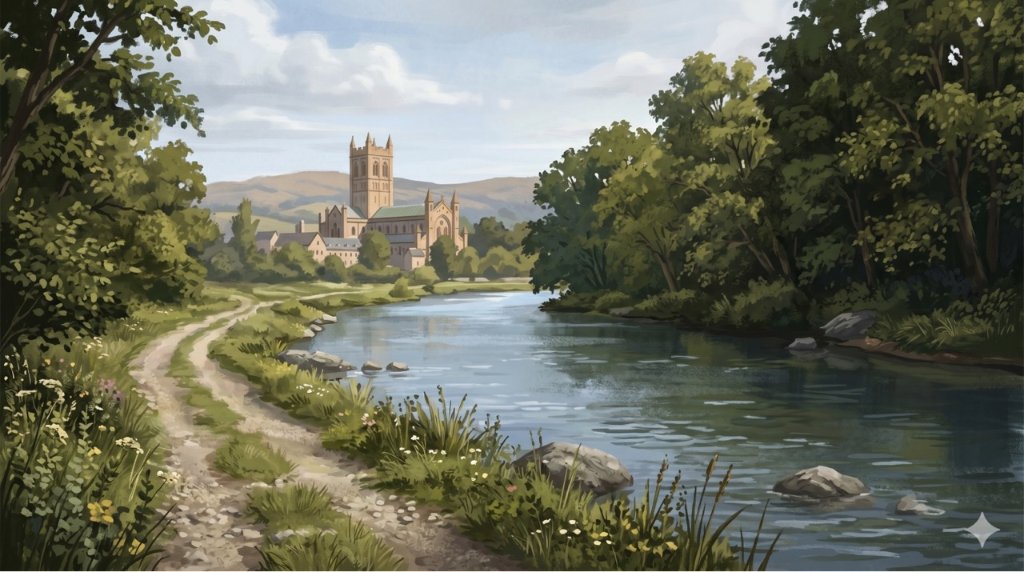
Buckfast Abbey Riverside Walk
A gentle riverside walk from Buckfast Abbey along the River Dart with woodland, wildlife and peaceful views.

White Horse Trail at Cherhill
Short, steep walk to the Cherhill White Horse with sweeping Wiltshire views.
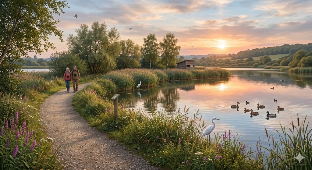
Langford Lakes Waterside Walk
Peaceful lakeside walk with rich wildlife and easy paths.