
Georgian · Exmoor
Porlock Weir
A tiny historic harbour on the edge of Exmoor, shaped by fishing, trade and the changing coastline.
Quick facts
Why this place matters
Porlock Weir matters because it reflects the importance of small coastal harbours in local trade and fishing. It also shows how coastlines change naturally over time.
Not every important port was large.
What it is
A small historic harbour.
Why it mattered
It mattered because even small harbours connected remote communities.
What you can see
Harbour, shoreline and maritime setting.
Porlock proves that.
What happened here
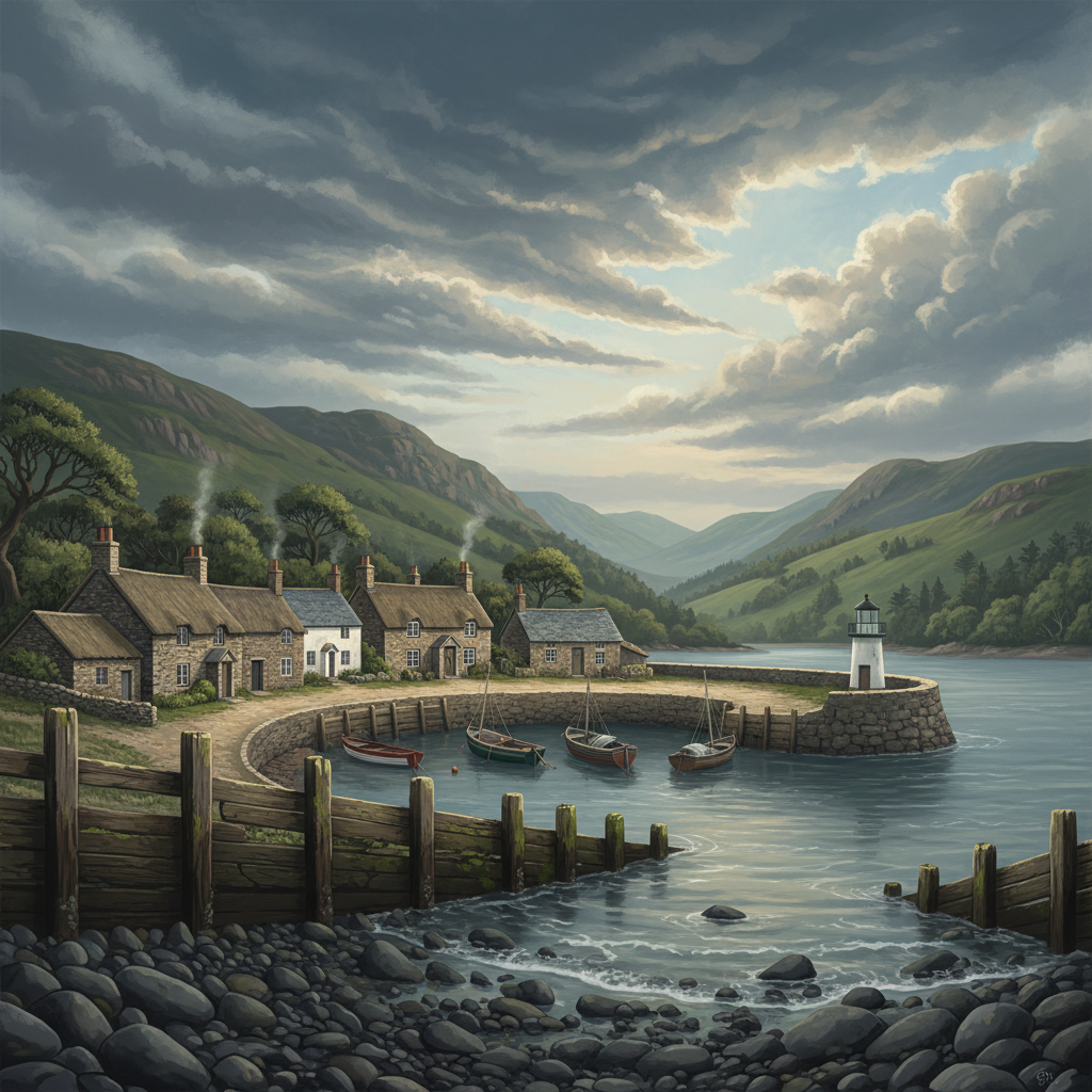
Porlock Weir is a small but characterful harbour where Exmoor meets the Bristol Channel. Its sheltered waters and surrounding marshes tell a story of maritime trade, fishing and coastal change.
Porlock Weir developed as a small harbour supporting fishing and local trade. Boats landed catches and goods here, linking local communities with wider coastal routes.
The harbour’s fortunes changed over time as trade patterns shifted and the coastline altered. Nearby Porlock Bay is known for dramatic natural coastal change, including the shingle ridge and salt marsh development.
Fishing and tourism have since become central parts of life here.
Today Porlock Weir remains one of Exmoor’s most picturesque maritime spots, preserving both working harbour life and natural beauty.
Key dates
18th century
Harbour trade active
19th century
Fishing and coastal activity continue
Modern era
Historic harbour survives
Standing here now
Standing here now, the harbour feels calm and sheltered, with boats resting in the water and salt marsh stretching nearby. The sea and land seem to meet gently here, unlike Exmoor’s wilder cliffs.
What to look for
- 1Historic harbour walls and quays
- 2Boats and moorings
- 3Salt marsh and shingle ridge nearby
- 4Coastal views and sheltered waters
Landscape & wider significance
The harbour sits in a sheltered inlet on the Bristol Channel, protected by surrounding land and influenced by the unusual coastal geography of Porlock Bay and its marshes.
Visiting today
Easy access with parking and nearby facilities. Watch children near harbour edges and slippery surfaces.
Good to know
💡 Did you know?
🎯 Try this when you visit
🤔 Think about this
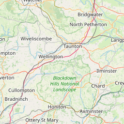
Map & Directions


Related history nearby
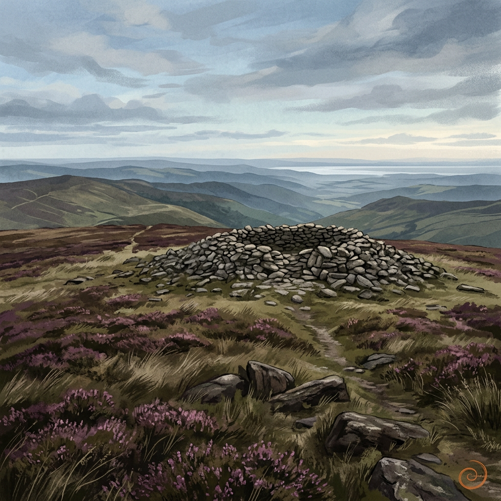
Prehistoric
Dunkery Beacon
Exmoor’s highest point is more than a viewpoint — a place of deep time and wide horizons.
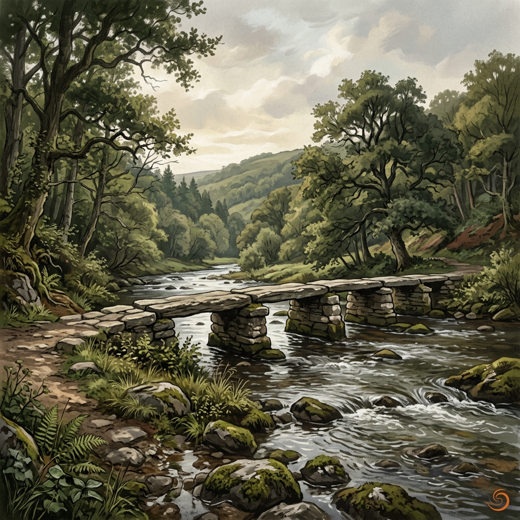
Medieval
Tarr Steps
An ancient river crossing where stone, water and time meet in one of Exmoor’s most memorable landscapes.
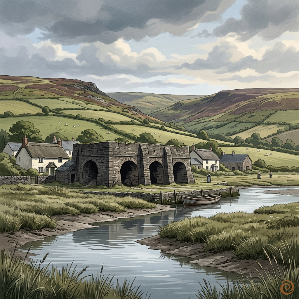
Georgian
Bossington Lime Kilns
Weathered kiln remains on the edge of Porlock Bay, where coastal industry once helped shape farming and building across the Exmoor fringe.
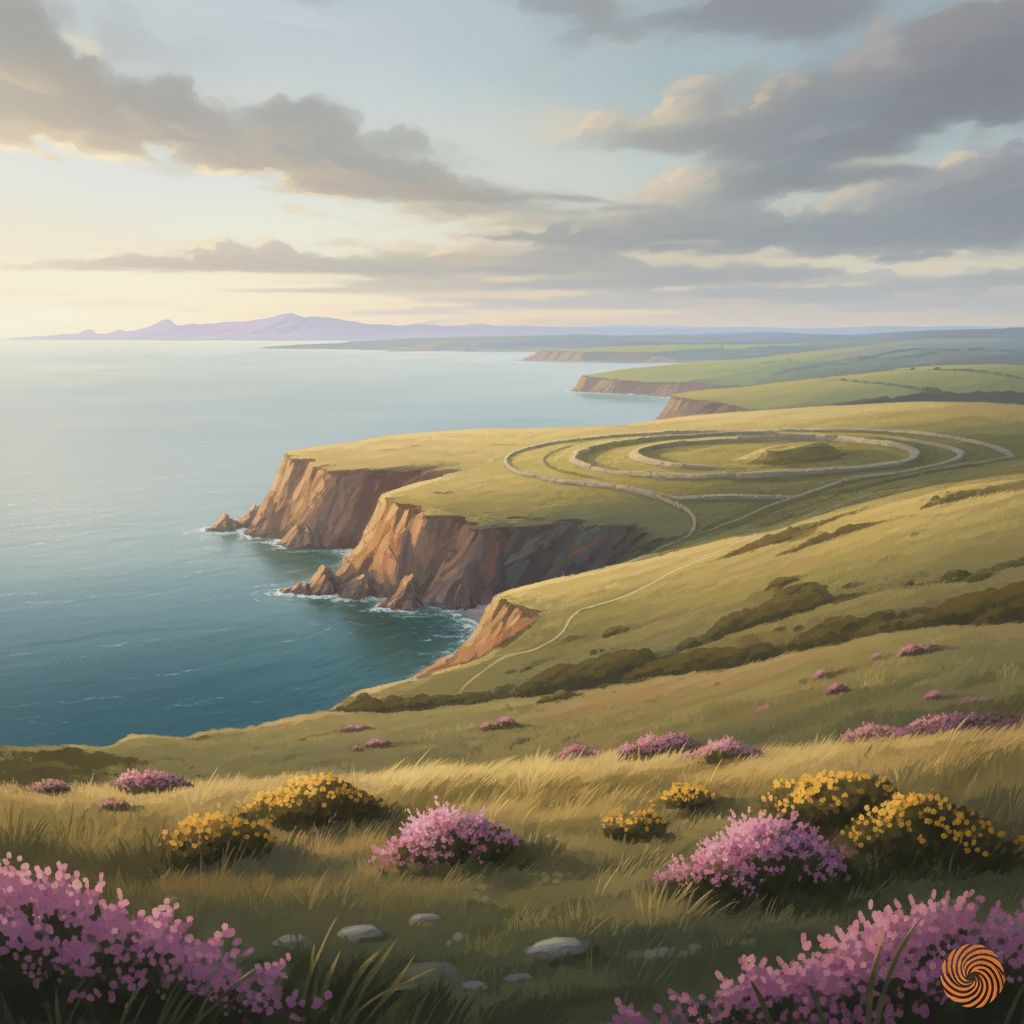
Prehistoric
Selworthy Beacon
A prominent hilltop on Exmoor with prehistoric origins, commanding views and long evidence of human use as lookout, marker and ritual landscape.
Join the 3moors Community for path conditions & local tips.
JoinNearby places
Quick facts