

Exmoor
Hartland Quay Shipwrecks
A coastal walk taking in towering cliffs, wreck history and one of the wildest shorelines in the south west.
3moors Verified
This route has been reviewed and prepared by 3moors using mapping, terrain analysis, local knowledge and editorial review.
About this walk
A dramatic coastal walk at Hartland Quay exploring towering cliffs, crashing seas and the haunting history of shipwrecks along this dangerous stretch of the North Devon coast. This is one of the wildest-feeling coastal walks in the South West.
Who this walk is for
Who this walk is for
- ✔Photographers, history lovers, adventurous walkers and dramatic coast seekers. Not suitable for pushchairs, poor mobility or windy-day beginners.
The Experience
A rugged and unforgettable coastal walk with spectacular cliff scenery and stories of wrecked ships, storms and survival. Expect steep paths, huge views and powerful Atlantic drama.
Elevation Profile
Illustrative profileRoute Summary
Start at Hartland Quay and follow the South West Coast Path along the cliffs. Explore viewpoints above the old quay and museum area, then continue along the coast path or return the same way. Optional extensions head towards Speke's Mill Mouth or north along the coast.
Landscape & History
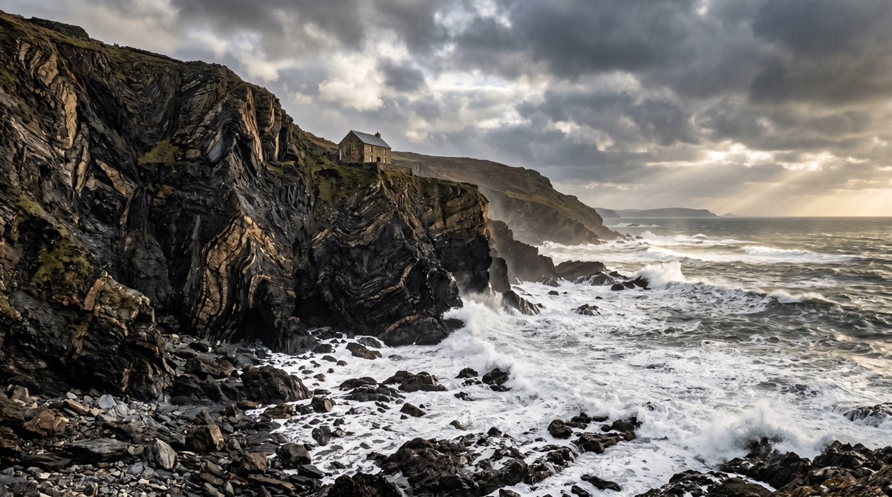
Hartland Quay has a long history of shipwrecks thanks to fierce Atlantic storms and jagged rocks below the cliffs. The coast feels raw, dramatic and dangerous, with stories of wrecks and rescues woven into the landscape.
Safety & Conditions
Weather
Strong wind and heavy rain are the main concerns, especially on exposed coast, higher ground and slippery steps or descents.
Navigation
Main paths are usually clear, but steep junctions and side paths can tempt you off line, so keep checking location as you go.
Livestock & Wildlife
Livestock, ponies or sheep may be present on parts of the route. Keep dogs under close control and give animals plenty of room.
Footwear
Wear proper walking shoes or boots with grip. Trainers are only comfortable here in the driest and easiest conditions.
Variations
Can usually be shortened by turning back earlier on the coast path, though the full outing gives the strongest sense of the place.
Access & Parking
This is exposed and potentially dangerous in bad weather. Expect strong winds, slippery paths, cliff edges and rough seas below. Keep children and dogs close.
3moors Community
Recent conditions or questions about this walk?
Join the 3moors Community to ask about path conditions, parking, wildlife sightings and local tips.
Join the 3moors CommunityDiscussion takes place in our Facebook community.
Join the 3moors Community for path conditions & local tips.
JoinWeather near Hartland Quay car park
Cloudy
Today
Met Office forecast · updated every 30 min
Wildlife you might see
Common sightings along this route — based on habitat and recent reports
 Peak season
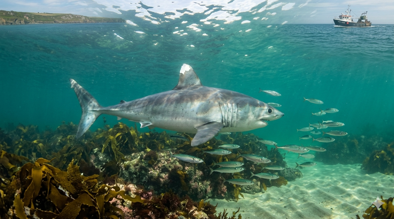
Porbeagle Shark
marine-life
 Peak season
Peregrine Falcon
bird
 Season approaching
Bilberry
plant
 Peak season
Moorland Fungi
fungi
 Season approaching
Adder
reptile
Recent sightings on this walk
Real sightings submitted by walkers on this route
No sightings reported for this walk yet — be the first to add one.
History along the route
Walk information is based on direct experience and local knowledge. Conditions on the moor can change — always use your own judgement.
More walks to explore
All walks
Walking Moonraker — Dunster & Bat's Castle Loop
A rewarding 20 km circular walk from Dunster to Bat's Castle, combining medieval history, Exmoor folklore and wide coastal views.

Lynton & Lynmouth Flood History
A coastal walk taking in dramatic valley scenery and the story of the 1952 flood.

Porlock Weir
A coastal walk taking in the little harbour, saltmarsh edge and big Exmoor views.