

Exmoor
Lynton & Lynmouth Flood History
A coastal walk taking in dramatic valley scenery and the story of the 1952 flood.
3moors Verified
This route has been reviewed and prepared by 3moors using mapping, terrain analysis, local knowledge and editorial review.
About this walk
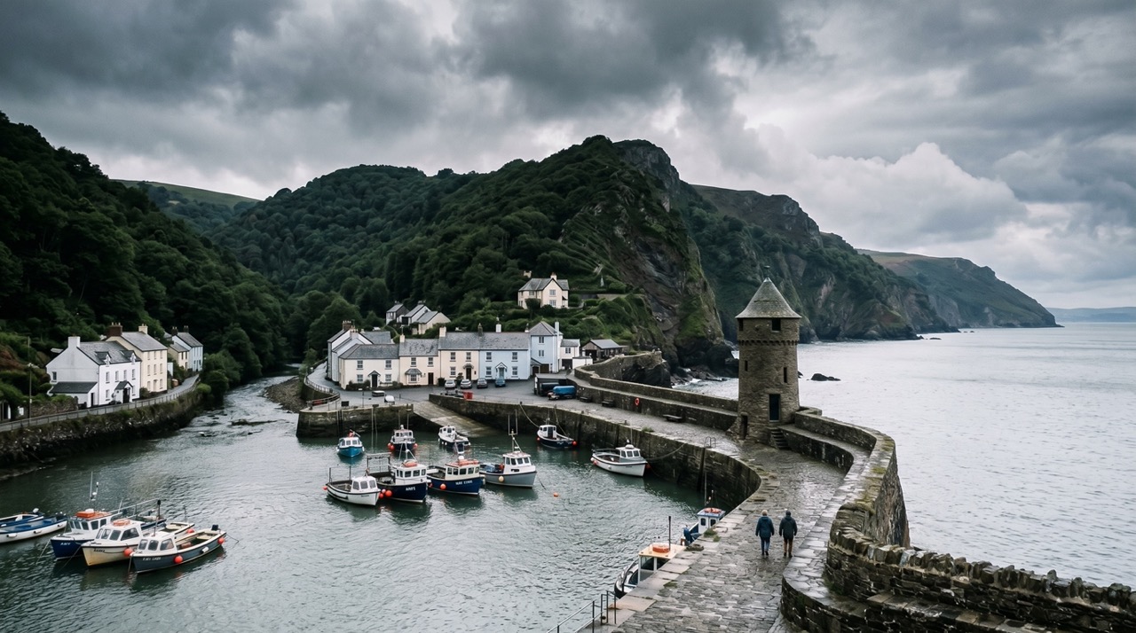
In 1952, Lynton and Lynmouth experienced one of England's worst natural disasters when a summer cloudburst caused flooding that killed 34 people. This walk explores the valley and its recovery, visiting memorials and understanding the landscape's role in the tragedy.
The Experience
Walk through Lynton and Lynmouth valley exploring the 1952 flood disaster site. Visit memorials and learn how the landscape changed after the catastrophe. Mostly easy terrain. 90-120 minutes.
Elevation Profile
Illustrative profileRoute Summary
Start in Lynton village centre. Walk down to Lynmouth, visiting the memorial garden. Follow the East Lyn river paths and explore the valley that was devastated by the 1952 flood. Return via the upper paths for views of the recovery landscape.
Landscape & History
Lynmouth’s setting is beautiful but powerful, and the flood story remains central to understanding the town and the force of water in these steep Exmoor valleys.
Safety & Conditions
Weather
River can be dangerous after heavy rain—avoid walking in poor weather. Paths can be slippery in wet conditions.
Navigation
Well-marked paths throughout. Clear village navigation.
Livestock & Wildlife
Livestock are not usually a major issue on the main line, but keep dogs under control if grazing animals are present in adjoining fields.
Footwear
Wear proper walking shoes or boots with grip. Trainers are only comfortable here in the driest and easiest conditions.
Variations
Can usually be shortened by turning back earlier on the coast path, though the full outing gives the strongest sense of the place.
Access & Parking
Some uneven ground and gradients should be expected, especially after rain, but there are no technical sections in normal conditions.
3moors Community
Recent conditions or questions about this walk?
Join the 3moors Community to ask about path conditions, parking, wildlife sightings and local tips.
Join the 3moors CommunityDiscussion takes place in our Facebook community.
Join the 3moors Community for path conditions & local tips.
JoinWeather near Lynmouth Harbour
Weather forecast temporarily unavailable. Check back shortly.
Wildlife you might see
Common sightings along this route — based on habitat and recent reports
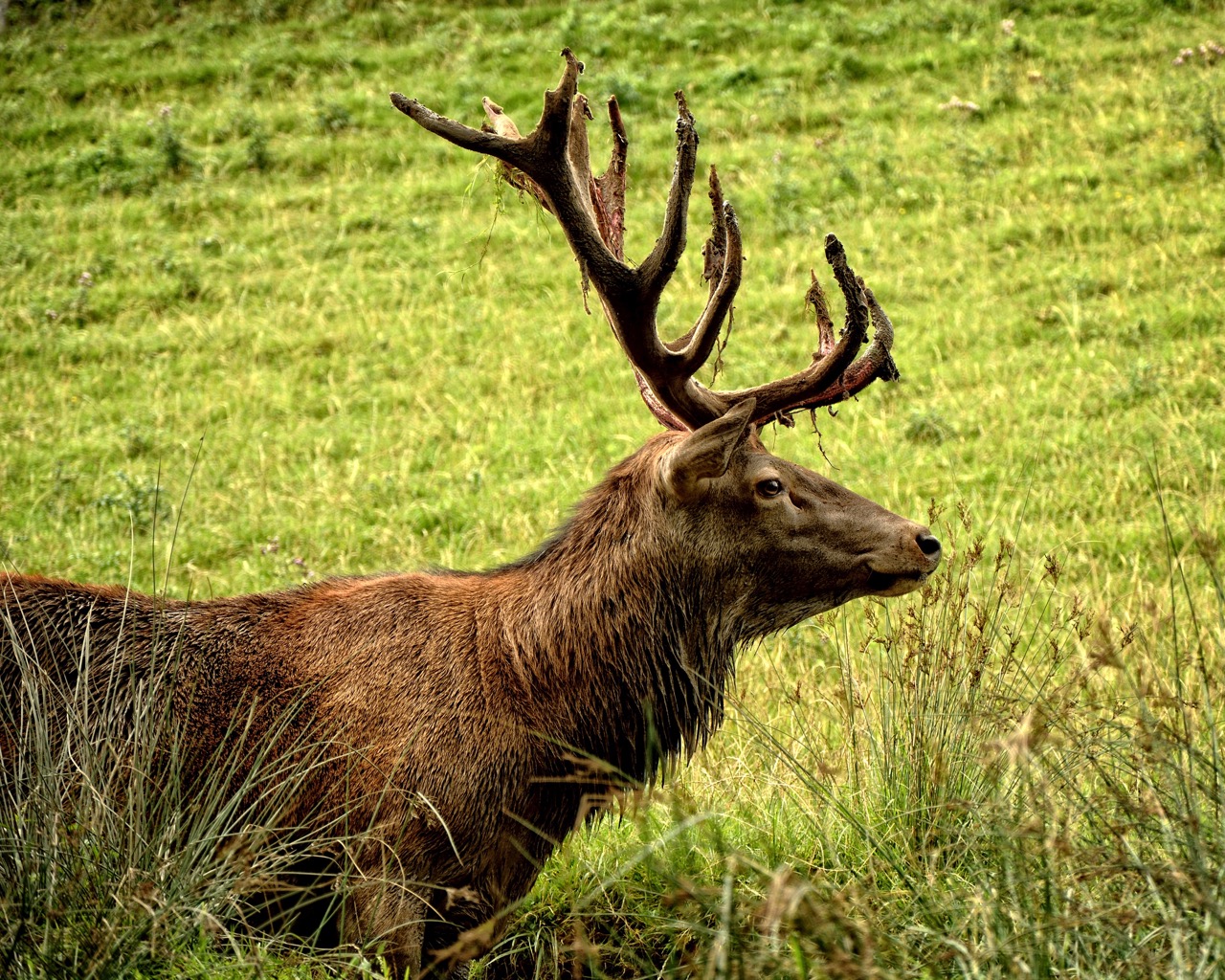 Peak season
Red Deer
mammal
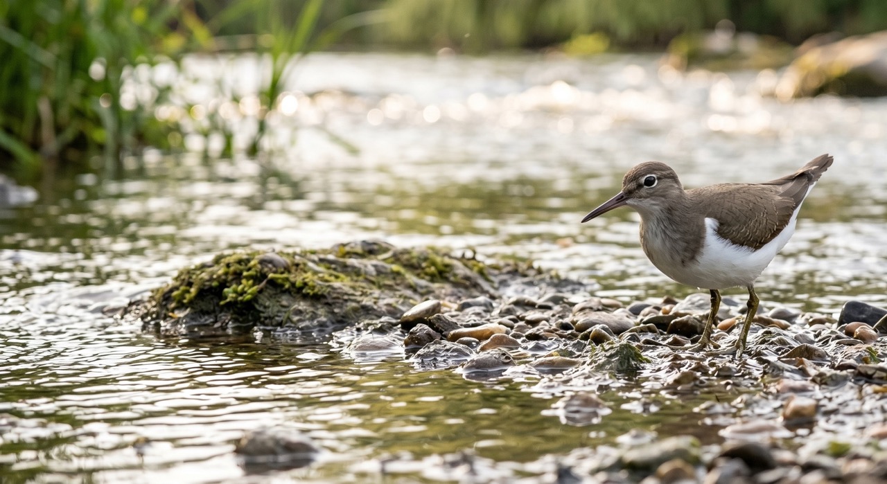 Season approaching
Common Sandpiper
marine-life
 Peak season
Common Buzzard
bird
 Season approaching
Bilberry
plant
 Peak season
Moorland Fungi
fungi
Recent sightings on this walk
Real sightings submitted by walkers on this route
No sightings reported for this walk yet — be the first to add one.
History along the route


Walk information is based on direct experience and local knowledge. Conditions on the moor can change — always use your own judgement.
More walks to explore
All walks
Walking Moonraker — Dunster & Bat's Castle Loop
A rewarding 20 km circular walk from Dunster to Bat's Castle, combining medieval history, Exmoor folklore and wide coastal views.

Porlock Weir
A coastal walk taking in the little harbour, saltmarsh edge and big Exmoor views.

Dunster Yarn Market
A heritage walk taking in medieval streets and one of Somerset’s best-known village landmarks.