
20th Century · Exmoor
Lynton & Lynmouth Flood History
The story of the devastating 1952 flood that transformed Lynmouth forever and remains one of Britain’s worst natural disasters.
Quick facts
Why this place matters
This place matters because the Lynmouth Flood remains one of the most significant natural disasters in modern British history. It changed lives, reshaped the town and influenced flood management and emergency planning for generations.
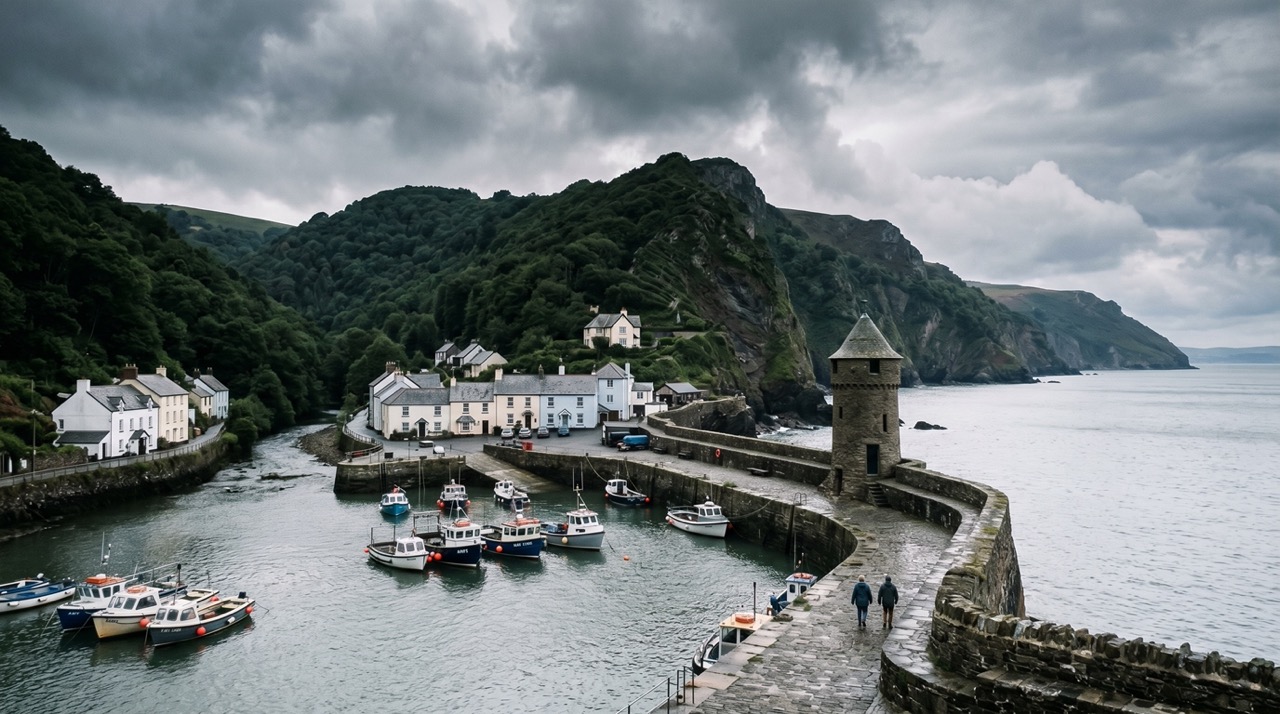
A beautiful harbour became a place of catastrophe overnight.
What it is
Site of the 1952 Lynmouth flood disaster.
Why it mattered
It mattered because disaster reshaped community and landscape.
What you can see
Memorials, river landscape and rebuilt town.
Memory still runs with the river.
What happened here
Lynton and Lynmouth are beautiful coastal communities linked by steep cliffs and fast flowing rivers. In August 1952, extreme rain and floodwater turned this dramatic landscape into the scene of sudden destruction.
On the night of 15 August 1952, an intense storm stalled over Exmoor and dropped extraordinary amounts of rain in just a few hours. The East Lyn and West Lyn rivers rose rapidly, carrying trees, rocks, vehicles and debris into Lynmouth.
Bridges became blocked, creating temporary dams. When those dams burst, huge surges of water and debris smashed through the town. Buildings were destroyed, roads vanished and whole sections of Lynmouth were swept away.
Thirty four people lost their lives, and many more lost homes, businesses and livelihoods. Rescue efforts were dramatic and difficult in darkness and dangerous conditions.
The disaster changed the landscape and led to major rebuilding, river engineering and wider awareness of flood risk in steep coastal valleys.
Key dates
1952
Catastrophic flood strikes
Post-1952
Rebuilding begins
Modern era
Flood remembered and interpreted
Standing here now
Standing here now, the rivers seem peaceful as they run down through the valley to the sea. Looking at the steep hillsides and narrow river channels, it is hard not to imagine the terrifying force of water that tore through Lynmouth in 1952.
What to look for
- 1River channels and flood defences
- 2Memorials or plaques marking the 1952 disaster
- 3Rebuilt sections of the town
- 4The steep valley sides feeding water toward Lynmouth
- 5Bridges and river engineering works
Landscape & wider significance
Lynmouth sits where steep Exmoor valleys meet the Bristol Channel. Fast rivers, narrow channels and very steep hillsides made the area especially vulnerable when extreme rain fell across the moor.
The same dramatic landscape that makes this place beautiful also made the flood so destructive.
Myths & folklore
Some stories and rumours have suggested the flood was worsened by secret cloud seeding experiments, but no proven evidence supports this. The accepted cause remains extreme natural weather and landscape conditions.
Visiting today
The towns are accessible with parking and facilities. Some paths and roads are steep. Respect memorial sites and river edges, especially after heavy rain.
Good to know
💡 Did you know?
🎯 Try this when you visit
🤔 Think about this
Map & Directions


Related history nearby
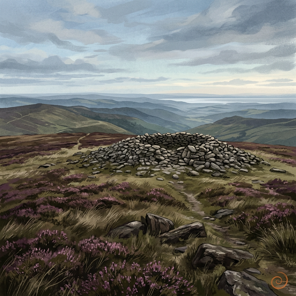
Prehistoric
Dunkery Beacon
Exmoor’s highest point is more than a viewpoint — a place of deep time and wide horizons.
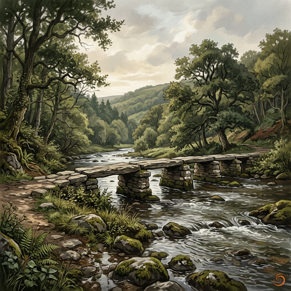
Medieval
Tarr Steps
An ancient river crossing where stone, water and time meet in one of Exmoor’s most memorable landscapes.
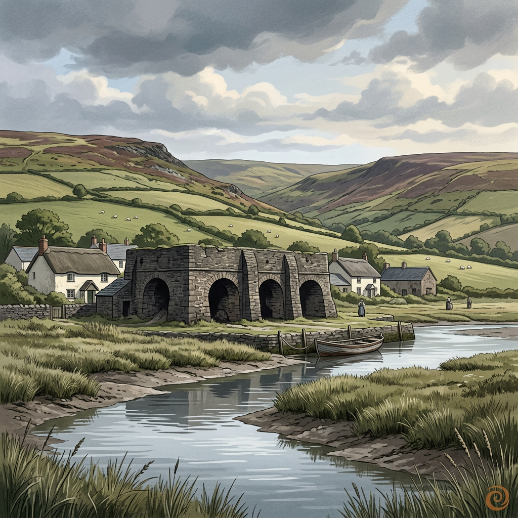
Georgian
Bossington Lime Kilns
Weathered kiln remains on the edge of Porlock Bay, where coastal industry once helped shape farming and building across the Exmoor fringe.
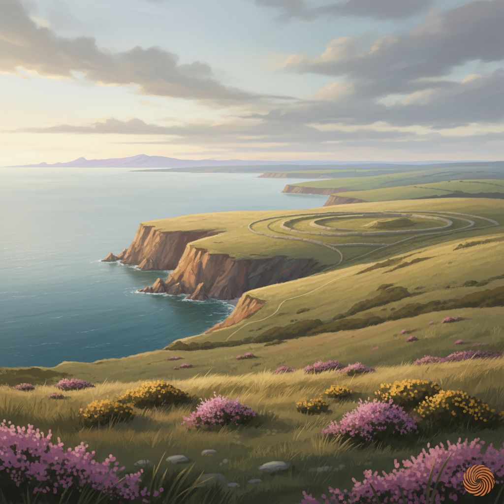
Prehistoric
Selworthy Beacon
A prominent hilltop on Exmoor with prehistoric origins, commanding views and long evidence of human use as lookout, marker and ritual landscape.
Join the 3moors Community for path conditions & local tips.
JoinNearby places
Quick facts