

Sheeps Tor & Burrator Edge
A compact Burrator classic: woodland and reservoir calm followed by the rocky climb to Sheeps Tor for one of the best viewpoints on the southern moor.
3moors Verified
This route has been reviewed and prepared by 3moors using mapping, terrain analysis, local knowledge and editorial review.
About this walk
This short loop packs in a lot: peaceful reservoir edges, a lift through woodland, then a proper tor summit with big views over Burrator and beyond. Sheeps Tor itself is a sturdy granite perch—rewarding without being extreme, though the final approach is rocky and needs steady feet.
The Experience
Burrator’s best ‘quick summit’. Start at Norsworthy Bridge, stroll reservoir and woodland tracks, then climb to Sheeps Tor for a wide sweep over the water and the southern moor. Return by gentler paths back to the reservoir. Great for a half-day hit—watch for slippery granite and gusts on the top.
Elevation Profile
Illustrative profileRoute Summary
1) Start at Norsworthy Bridge car park and follow reservoir-side paths/track.
Landscape & History
Sheeps Tor stands above Burrator Reservoir on Dartmoor’s southern fringe, where woodland, water and granite meet. The reservoir transformed the valley in the nineteenth century, but the tor itself remains a classic natural lookout above one of the moor’s most approachable beauty spots.
Sheeps Tor & Burrator Edge — Gallery
A few real views from the route
Safety & Conditions
Weather
Although shorter than many Dartmoor walks, the upper tor is open to wind and rain. Carry a waterproof and do not underestimate how cold it can feel on the summit.
Navigation
Simple in clear conditions, with obvious reservoir landmarks. In mist or heavy rain, take extra care on the upper sections and use a map if visibility drops.
Livestock & Wildlife
Sheep, ponies and occasional cattle may be present on open ground. Keep dogs controlled, especially near grazing animals.
Footwear
Sturdy walking boots or grippy trail shoes are recommended for granite, wet grass and uneven moorland tracks.
Variations
You can shorten the route by omitting the full reservoir-side loop and climbing Sheeps Tor directly from the Burrator side. A longer day can add Sheepstor village or extra shoreline paths around the water.
Access & Parking
A good introductory Dartmoor walk with a proper summit feel. The lower tracks are friendly and straightforward, but the final rise to the tor is rough and rocky. Reservoir parking can be busy on sunny afternoons.
3moors Community
Recent conditions or questions about this walk?
Join the 3moors Community to ask about path conditions, parking, wildlife sightings and local tips.
Join the 3moors CommunityDiscussion takes place in our Facebook community.
Join the 3moors Community for path conditions & local tips.
JoinWeather near Norsworthy Bridge car park
Weather forecast temporarily unavailable. Check back shortly.
Wildlife you might see
Common sightings along this route — based on habitat and recent reports
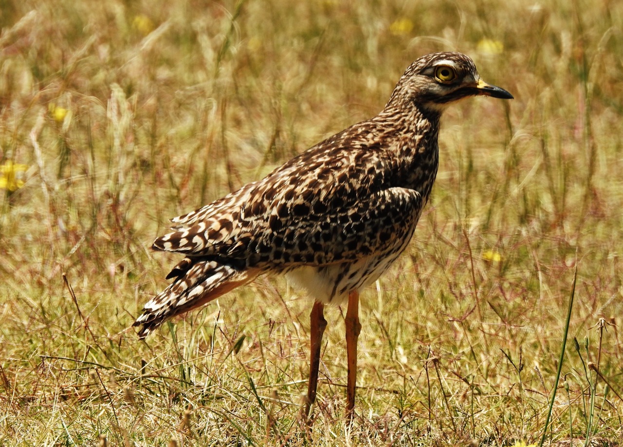
Curlew
bird
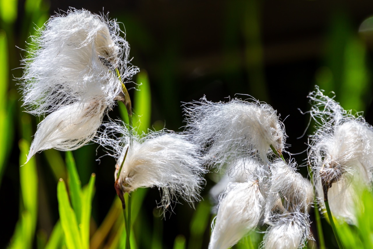
Cotton Grass
plant
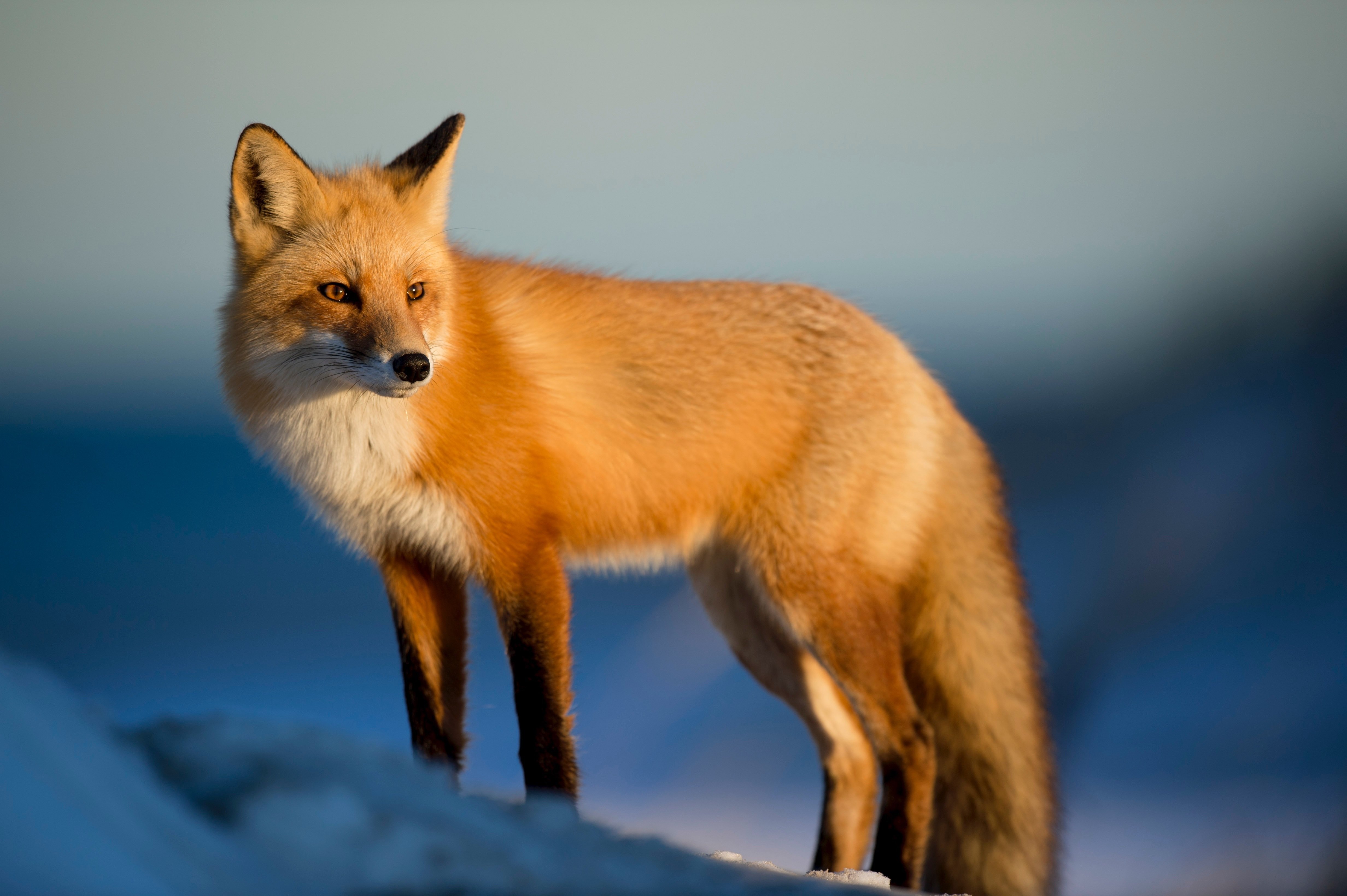
Fox
mammal
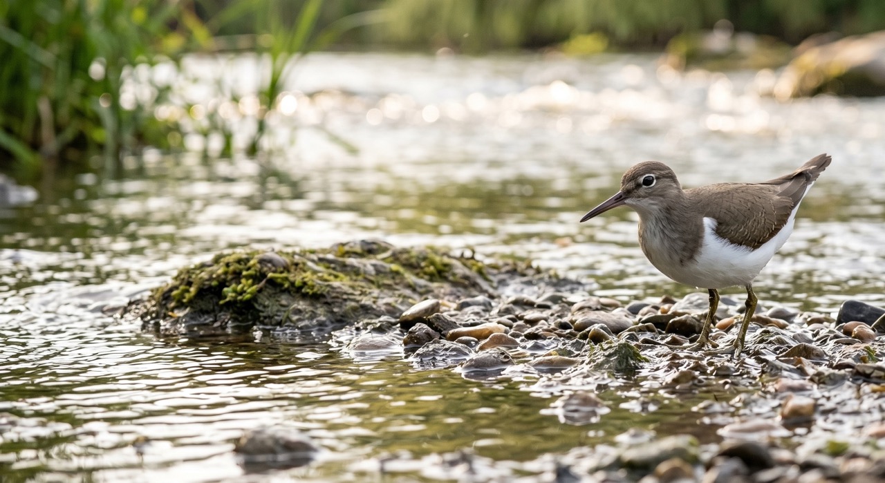 Season approaching
Common Sandpiper
marine-life
 Peak season
Moorland Fungi
fungi
Recent sightings on this walk
Real sightings submitted by walkers on this route
No sightings reported for this walk yet — be the first to add one.
History along the route


Walk information is based on direct experience and local knowledge. Conditions on the moor can change — always use your own judgement.
More walks to explore
All walks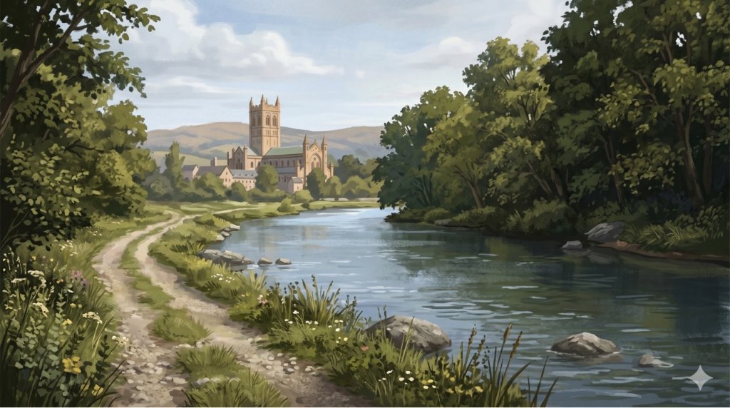
Buckfast Abbey Riverside Walk
A gentle riverside walk from Buckfast Abbey along the River Dart with woodland, wildlife and peaceful views.
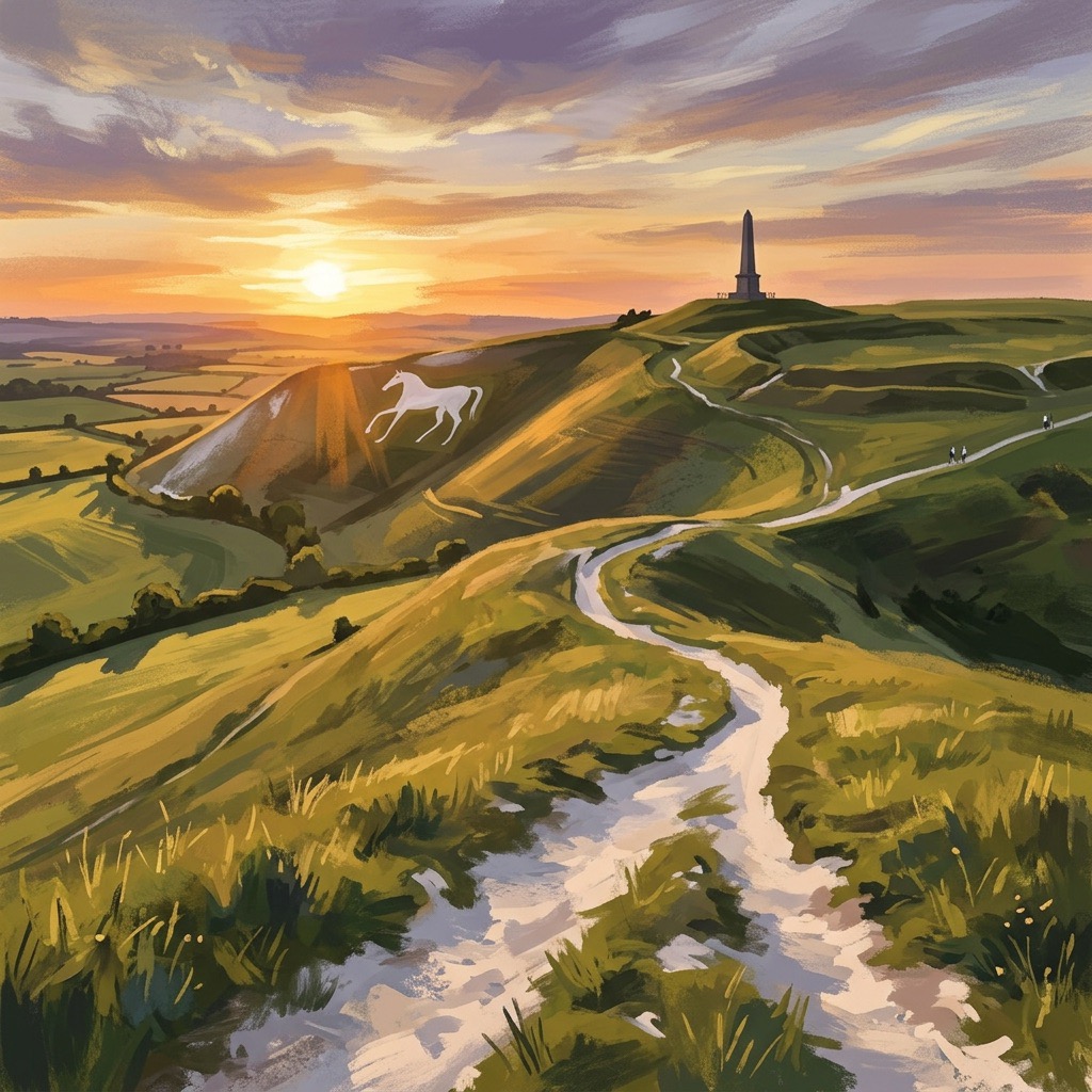
White Horse Trail at Cherhill
Short, steep walk to the Cherhill White Horse with sweeping Wiltshire views.
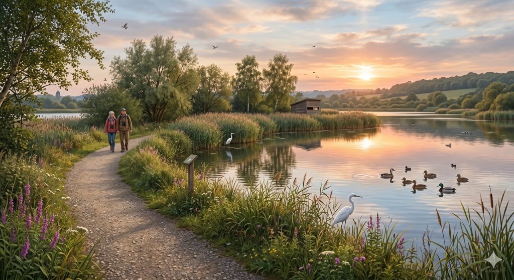
Langford Lakes Waterside Walk
Peaceful lakeside walk with rich wildlife and easy paths.