
Tintagel — Castle, Rocky Valley & St Nectan’s Glen Loop
A spectacular circular walk from Tintagel combining coastal paths, Rocky Valley and St Nectan’s Glen.
3moors Verified
This route has been reviewed and prepared by 3moors using mapping, terrain analysis, local knowledge and editorial review.
About this walk
A dramatic coastal loop blending legend
The Experience
waterfalls and rugged scenery.
Elevation Profile
Illustrative profileLandscape & History
A full experience of Tintagel’s coastline and hidden valleys.
Safety & Conditions
Weather
Busy areas near castle.
Navigation
Best early or late. Waymarked sections.
Footwear
Walking shoes or boots are recommended due to stony and uneven sections.
Variations
A longer but memorable circular route.
Access & Parking
Link castle area with Rocky Valley and St Nectan’s Glen.
3moors Community
Recent conditions or questions about this walk?
Join the 3moors Community to ask about path conditions, parking, wildlife sightings and local tips.
Join the 3moors CommunityDiscussion takes place in our Facebook community.
Join the 3moors Community for path conditions & local tips.
JoinWeather near Tintagel — Castle, Rocky Valley & St Nectan’s Glen Loop
Weather forecast temporarily unavailable. Check back shortly.
Wildlife you might see
Common sightings along this route — based on habitat and recent reports
 Peak season
Porbeagle Shark
marine-life
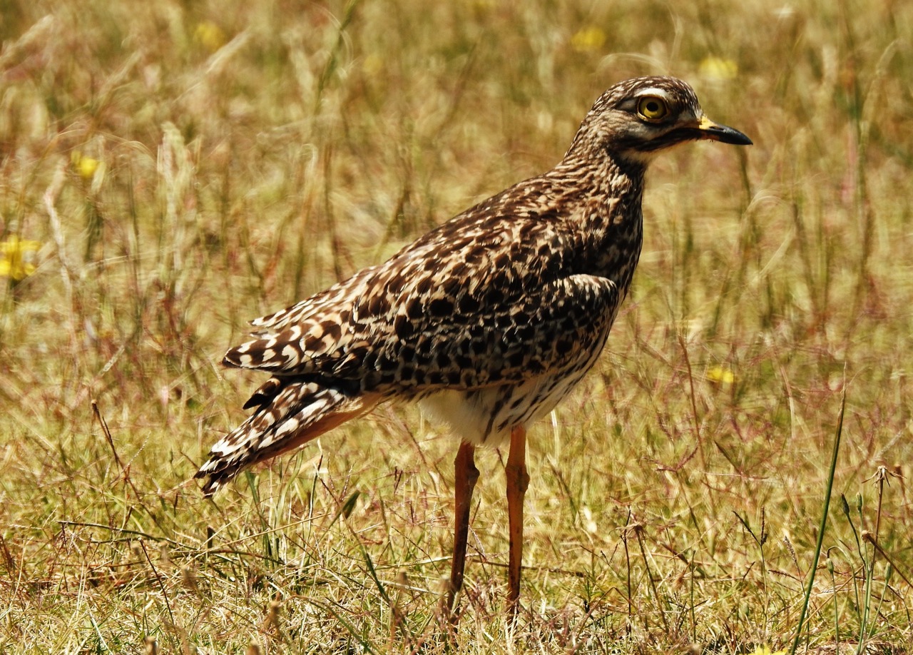
Curlew
bird
 Season approaching
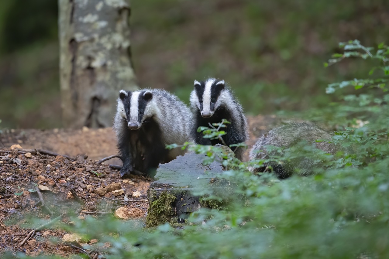
Badger
mammal
 Peak season
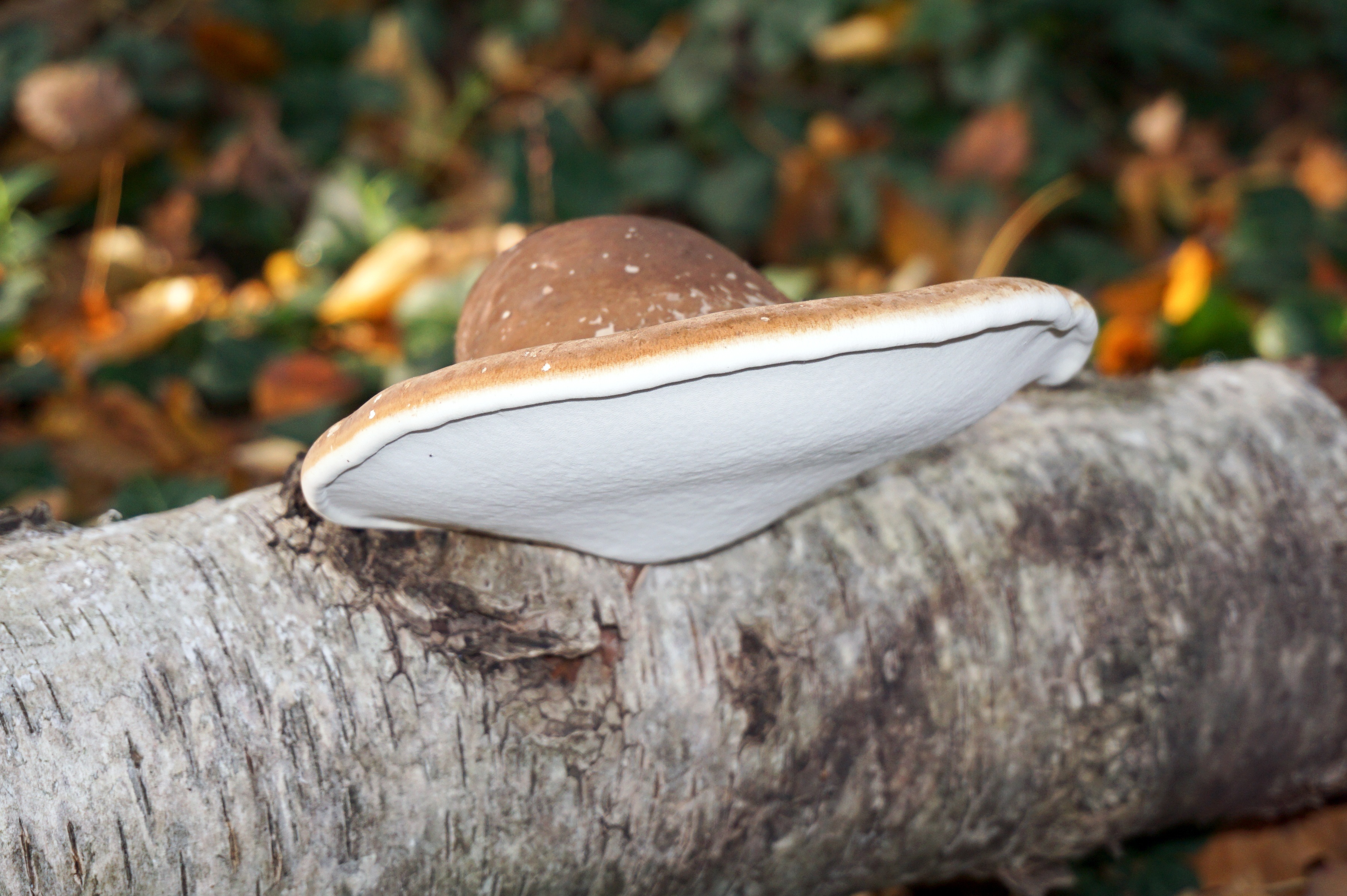
Birch Polypore
fungi
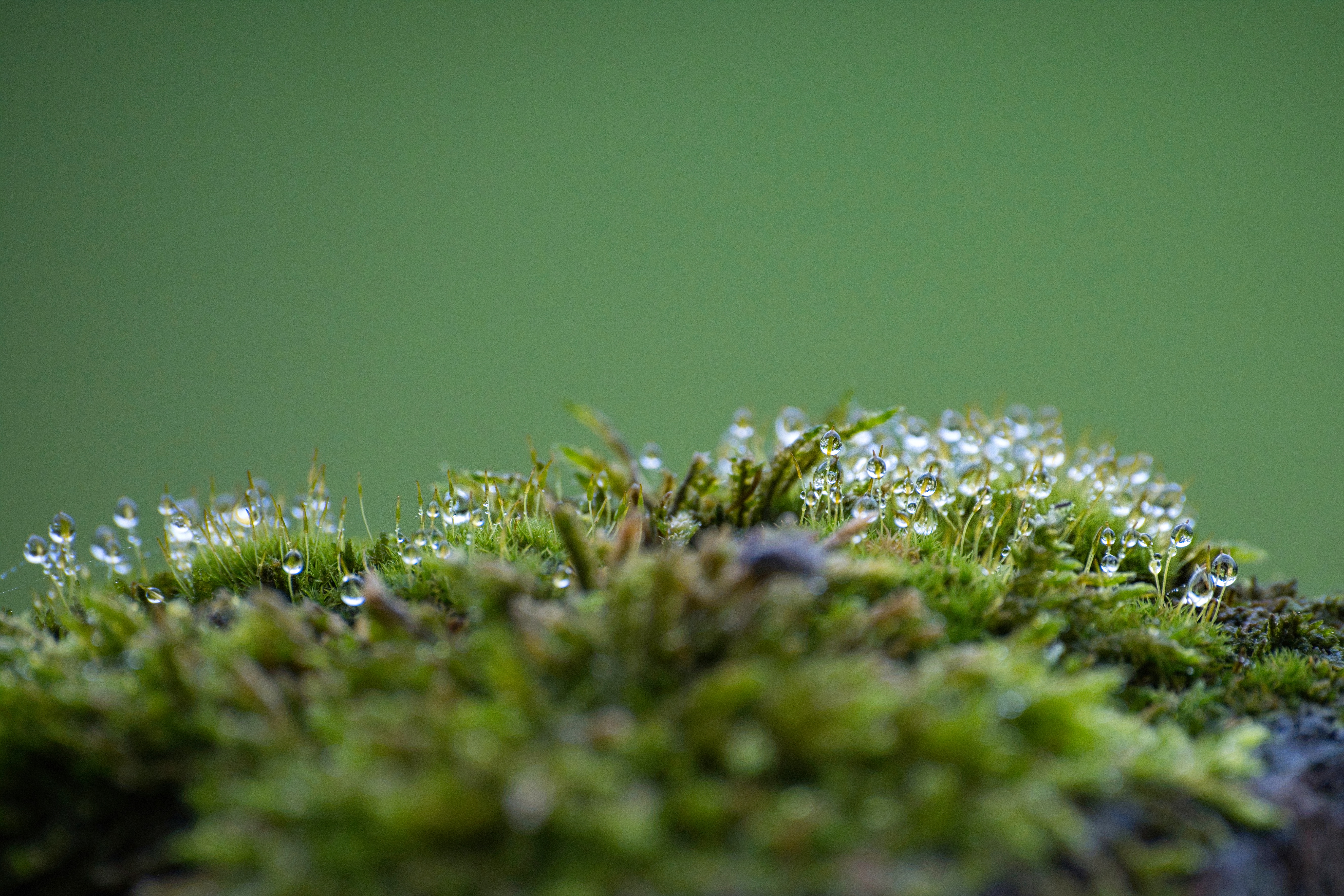
Sphagnum Moss
plant
Recent sightings on this walk
Real sightings submitted by walkers on this route
No sightings reported for this walk yet — be the first to add one.
History along the route

Walk information is based on direct experience and local knowledge. Conditions on the moor can change — always use your own judgement.
More walks to explore
All walks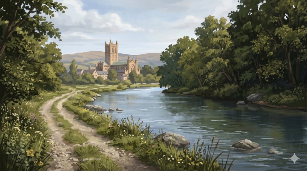
Buckfast Abbey Riverside Walk
A gentle riverside walk from Buckfast Abbey along the River Dart with woodland, wildlife and peaceful views.

White Horse Trail at Cherhill
Short, steep walk to the Cherhill White Horse with sweeping Wiltshire views.
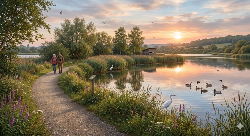
Langford Lakes Waterside Walk
Peaceful lakeside walk with rich wildlife and easy paths.