Medieval · Exmoor
Exmoor Royal Forest
A former royal hunting landscape where law, power and wilderness shaped one of England’s most distinctive uplands.
Quick facts
Why this place matters
The Royal Forest shaped Exmoor’s history through hunting rights, harsh laws and the struggle to tame remote moorland.
This was a forest without needing woods.
What it is
Historic royal hunting landscape.
Why it mattered
It mattered because law shaped landscape.
What you can see
Open moor and historic forest context.
That changes how you read it.
What happened here
The Royal Forest of Exmoor was not a forest in the modern sense, but a huge tract of open moorland set aside by the Crown for hunting.
Established in Norman times, it was governed by strict forest laws protecting deer and game for the king. Local people often suffered restrictions on grazing, farming and access.
For centuries it remained wild and sparsely populated.
In the 19th century large parts were sold and enclosed for farming and development, changing the landscape forever. Yet much of its remote character survives.
Today, standing in its open silence, it still feels like a place apart.
Key dates
Medieval period
Royal forest established
Later centuries
Forest law shapes land use
Modern era
Historic identity recognised
Standing here now
The word ‘forest’ once meant power, not trees.
What to look for
Open moorland and valleys
Ancient tracks and boundary markers
Remote farms and former forest settlements
Expansive views and wild red deer habitat
Landscape & wider significance
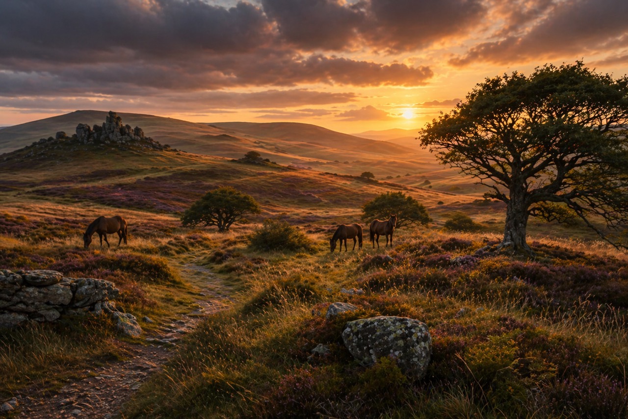
High open Exmoor, rolling moorland, hidden valleys and some of the wildest country in southern England.
Visiting today
Best explored by car and walking routes
Weather changes quickly
Excellent for wildlife spotting
Good to know
💡 Did you know?
🎯 Try this when you visit
🤔 Think about this
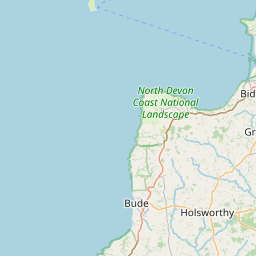
Map & Directions


Related history nearby
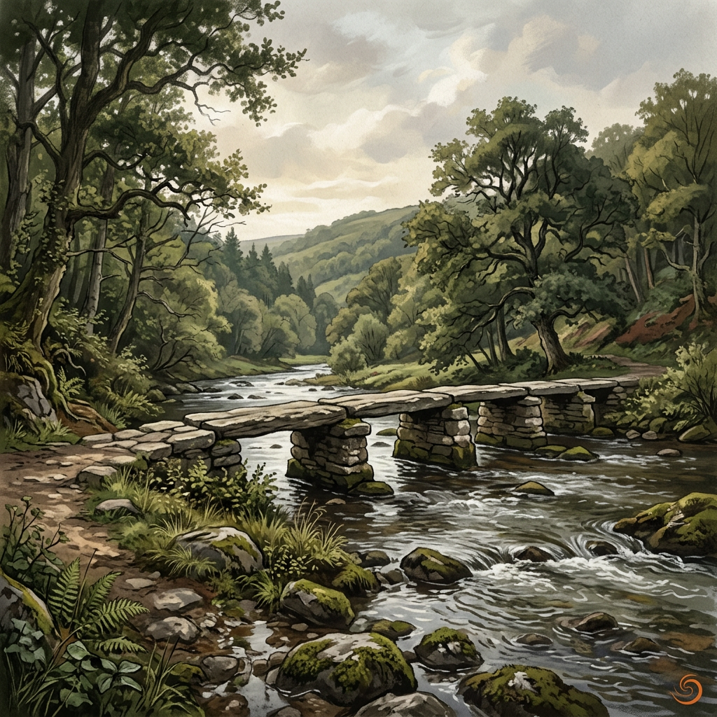
Medieval
Tarr Steps
An ancient river crossing where stone, water and time meet in one of Exmoor’s most memorable landscapes.
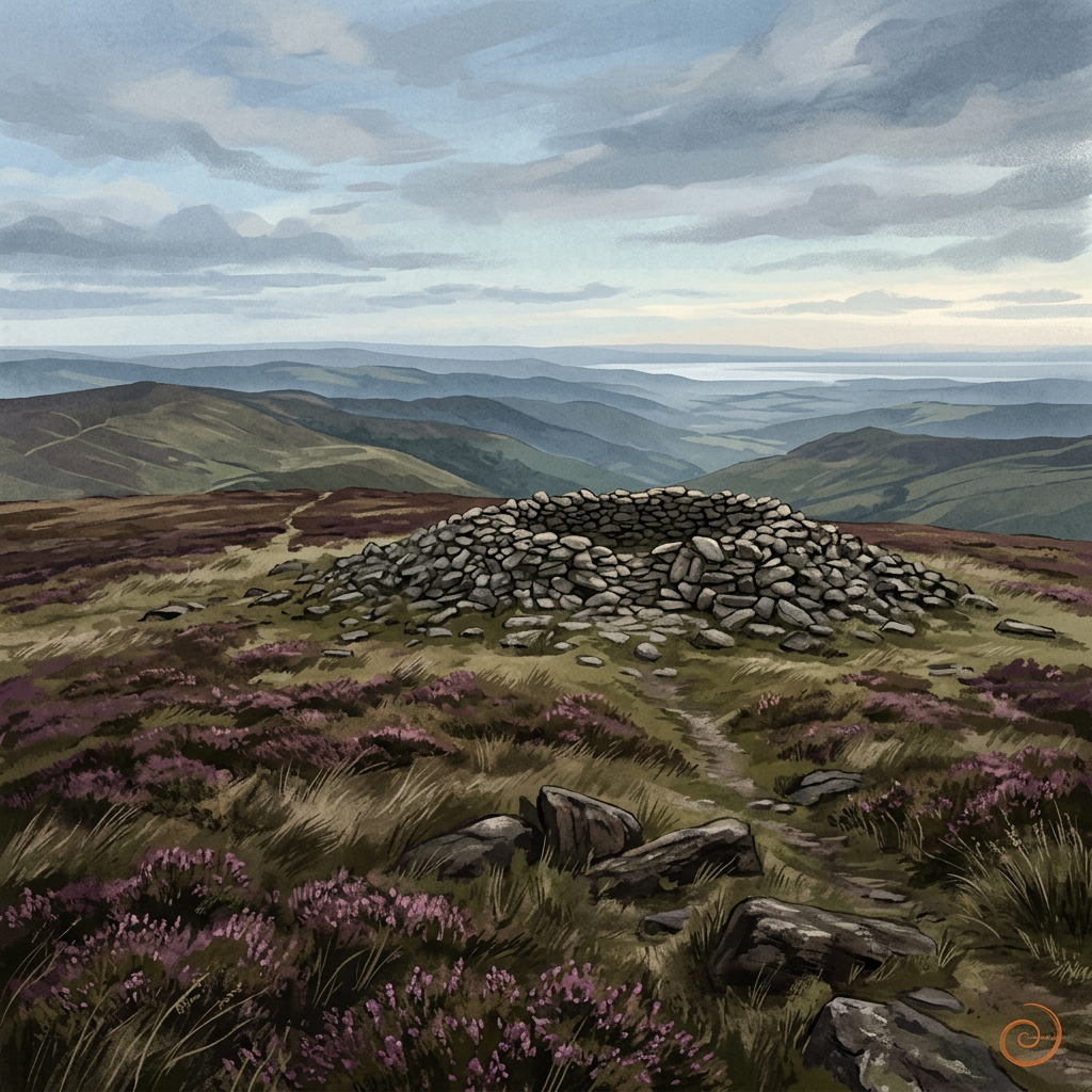
Prehistoric
Dunkery Beacon
Exmoor’s highest point is more than a viewpoint — a place of deep time and wide horizons.
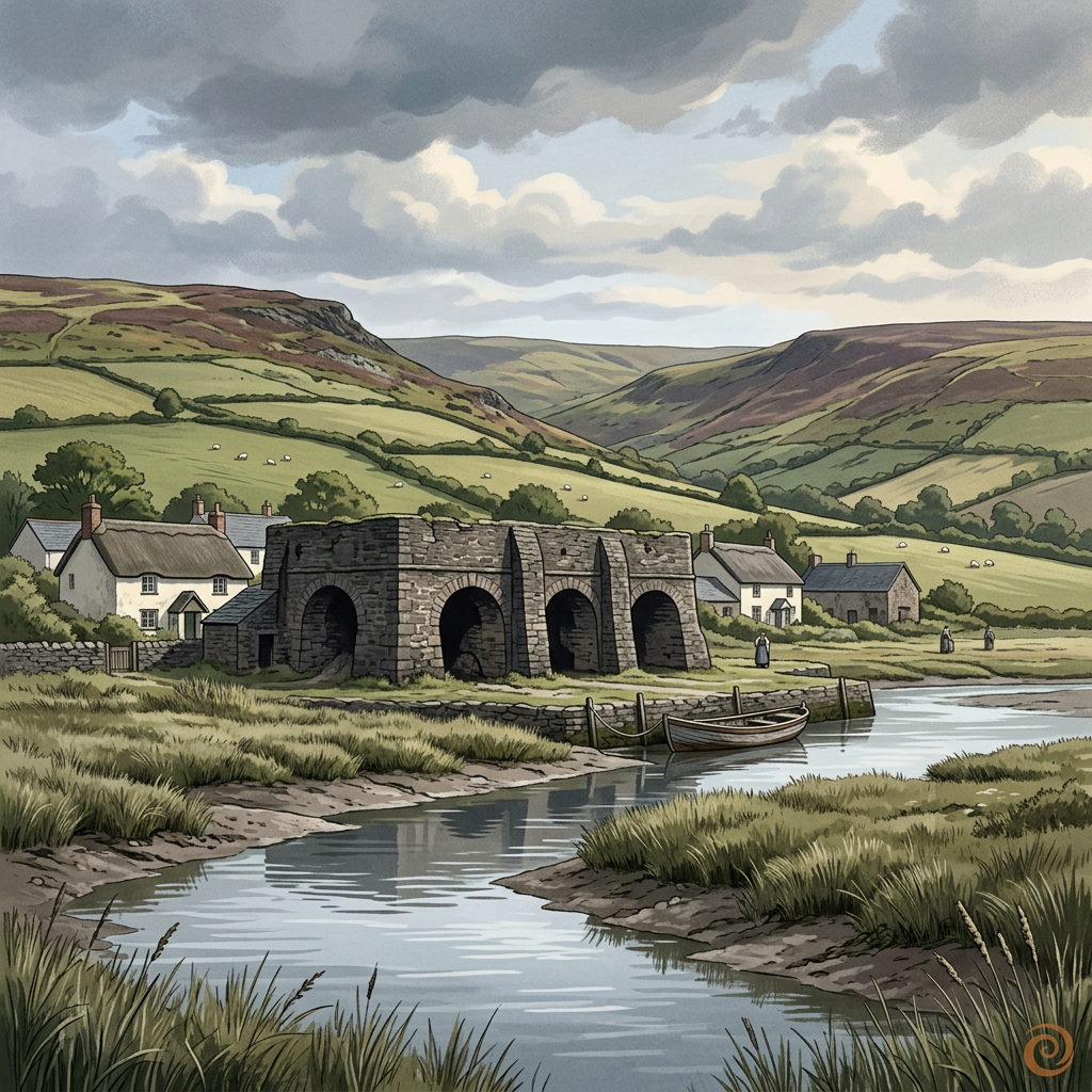
Georgian
Bossington Lime Kilns
Weathered kiln remains on the edge of Porlock Bay, where coastal industry once helped shape farming and building across the Exmoor fringe.
Prehistoric
Selworthy Beacon
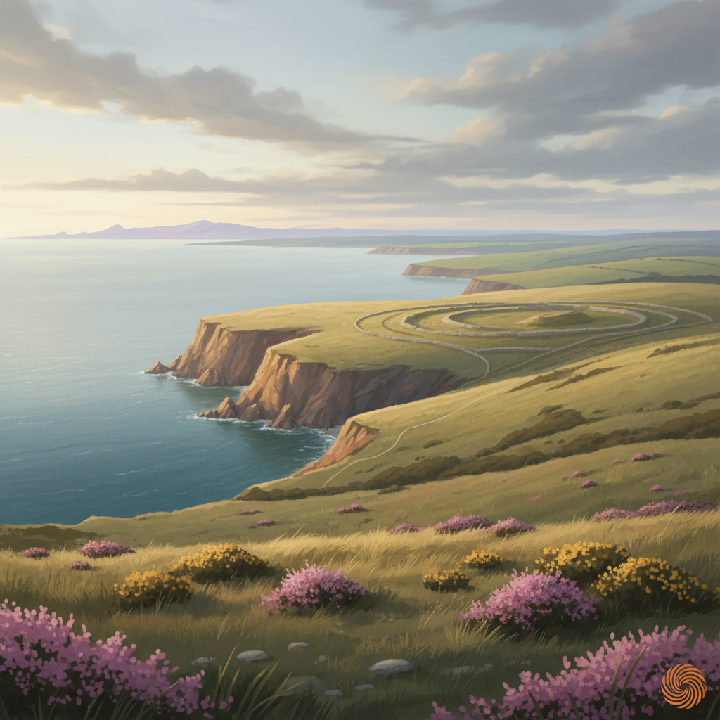
A prominent hilltop on Exmoor with prehistoric origins, commanding views and long evidence of human use as lookout, marker and ritual landscape.
Join the 3moors Community for path conditions & local tips.
JoinNearby places
Quick facts