
Medieval · Exmoor
Ilfracombe Harbour
A historic harbour where fishing, trade and coastal risk shaped one of North Devon’s most enduring maritime communities.
Quick facts
Why this place matters
Ilfracombe Harbour shows how small regional harbours helped bind coastal Britain into larger networks of trade, fishing and maritime exchange. It is local history with genuinely wider horizons.
The harbour was a gateway long before tourism.
What it is
A historic maritime harbour.
Why it mattered
It mattered because sea routes shaped inland lives too.
What you can see
Harbour and historic waterfront.
Its shape still shows that.
What happened here
A small harbour with wide horizons
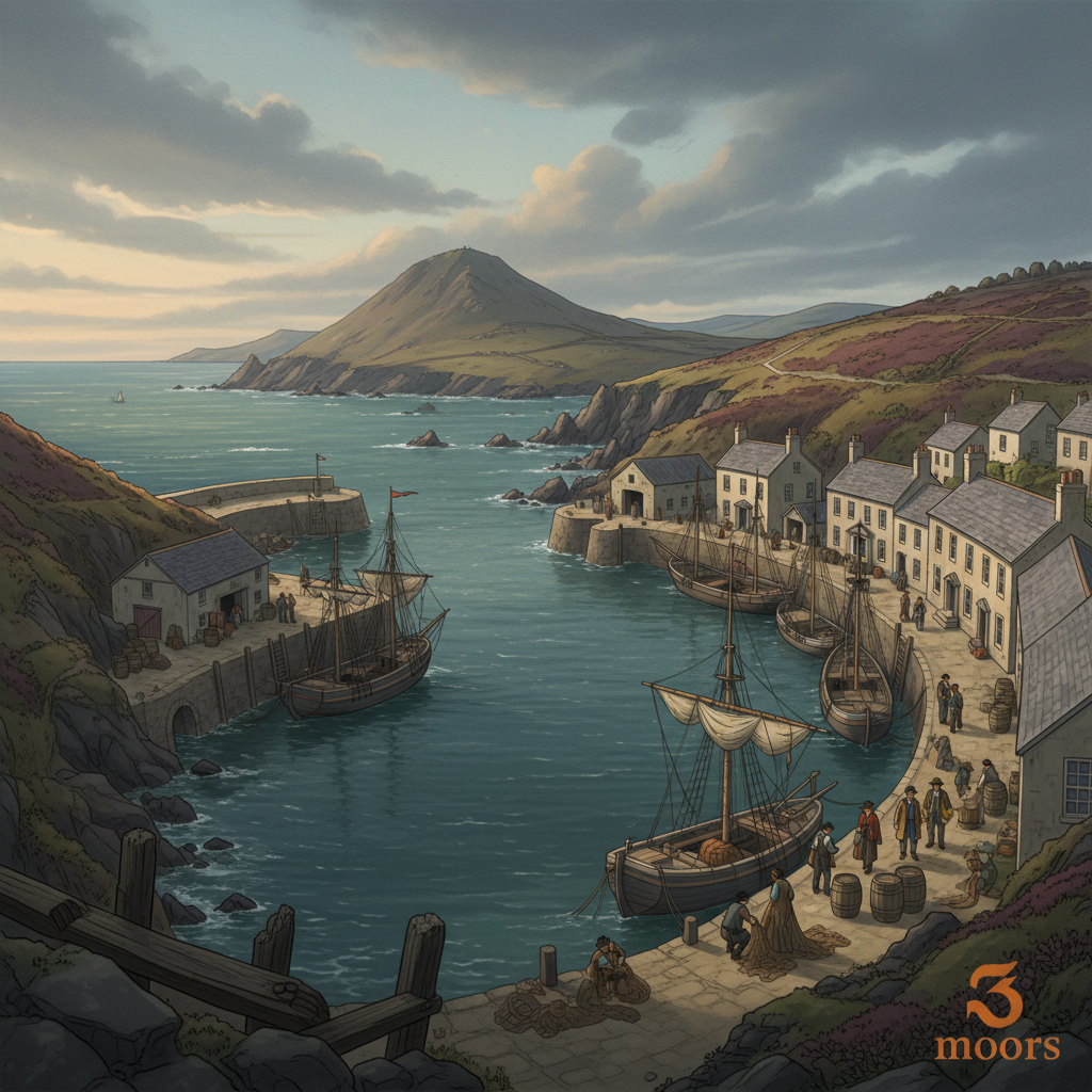
Long before tourism, postcards and summer crowds, Ilfracombe Harbour was a working port shaped by tide, trade and the demands of the sea. Its natural harbour, sheltered within a deeply indented coast, made it valuable from an early date. Fishing sustained livelihoods here for centuries, but the harbour’s importance reached well beyond local waters.
This was a place connected outward.
Boats left these quays for Bristol, Wales, Ireland and sometimes much farther. Cargoes moved through the harbour, limestone, coal, timber, agricultural produce, fish, linking North Devon into wider maritime networks long before railways changed inland movement.
The sea was the road. And Ilfracombe used it well.
Its position on the Bristol Channel mattered enormously. This was one of the busiest sea corridors in Britain, alive with merchant traffic, naval movement and coastal trade. Ilfracombe was small compared with great ports, but it participated in that larger world.
Its fishermen worked dangerous waters. Its traders watched markets across the channel. Its mariners understood weather as survival.
And its harbour, shaped and reshaped over time with piers and improvements, became both refuge and engine of prosperity.
There was hardship too. Storms wrecked vessels. Harbour walls took punishment. Boats were lost.
Families depended on fortunes decided by weather, catch, and trade conditions they could not control. Yet the harbour endured. In the Georgian and Victorian periods, Ilfracombe took on another identity as sea travel expanded. Steamships brought visitors, linking the town not just by commerce but by movement of people. What had been a working maritime settlement also became a gateway.
Still, the older harbour never disappeared beneath the resort. Look closely and the commercial bones remain. The enclosed harbour. The practical quays. The relationship between tide and work. The architecture built around marine need before leisure softened the edges. This was never simply a picturesque harbour. It was infrastructure. Livelihood. Connection.
A place where North Devon looked outward, not inward, toward trade routes, fisheries, and the wider Atlantic world.
And that matters.
Because it reminds us that even seemingly remote places were never as isolated as they can appear on a map. Places like Ilfracombe were part of something larger. The sea made sure of that.
Key dates
Early 13th century A recognised port on the Bristol Channel
By this period, Ilfracombe was already functioning as a known harbour on one of Britain’s key sea corridors. Its sheltered position helped make it valuable for fishing, coastal trade and vessels moving along the Bristol Channel.
Early 13th century - Ilfracombe is already a recognised harbour
By the early 13th century, Ilfracombe was regarded as a harbour of refuge and an important stopping point on Bristol Channel routes. That tells us the harbour was already established as part of wider maritime movement, not just a tiny local landing place.
18th century - Port activity expands
Coastal trade and fishing strengthened Ilfracombe’s role as a working harbour, linking North Devon to wider maritime routes across the Bristol Channel and beyond. Goods, people and local produce moved increasingly by sea.
19th century - Maritime importance grows
Harbour improvements, commercial traffic and the rise of steamship travel increased Ilfracombe’s significance. It served both working maritime trade and growing passenger connections, helping reshape the town’s fortunes.
Modern era - Historic harbour survives
Though commercial patterns changed, the historic harbour endured. Fishing, marine activity and heritage character remain, preserving visible links to centuries of maritime life.
Standing here now
Standing here, much of the harbour’s history is still legible in its shape. The enclosed water, practical quays, working slips and sheltering walls all reflect centuries of maritime use. Even where tourism now dominates the surface, the harbour still reads as a place built first for work, weather and movement by sea.
What to look for
Historic harbour walls and pier structure
Fishing activity that echoes older working patterns
Evidence of Victorian harbour expansion
The enclosed form that made this a practical refuge
The Bristol Channel beyond — the route that linked this harbour to a wider world
Landscape & wider significance
Set within a rugged, deeply indented coast, Ilfracombe’s sheltered harbour helped make this a natural maritime foothold on the Bristol Channel. Its significance lies not just in local fishing or trade, but in how small ports like this connected regional communities to wider coastal and Atlantic networks.
Visiting today
Easy to reach on foot from the town centre, the harbour rewards slow exploration. Walk the inner quays, study the old harbour walls, watch modern fishing activity, and follow the outer harbour for a stronger sense of its relationship with tide, weather and the open channel.
Good to know
💡 Did you know?
🎯 Try this when you visit
🤔 Think about this
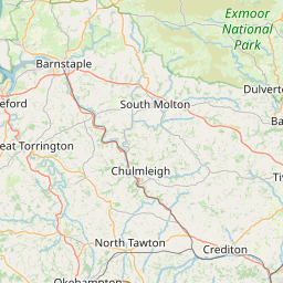
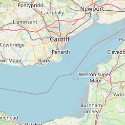
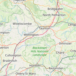
Map & Directions



Related history nearby
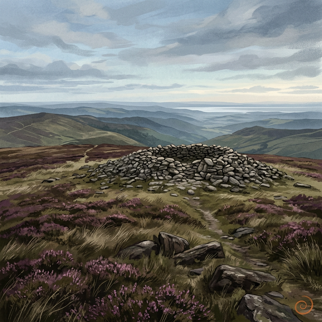
Prehistoric
Dunkery Beacon
Exmoor’s highest point is more than a viewpoint — a place of deep time and wide horizons.
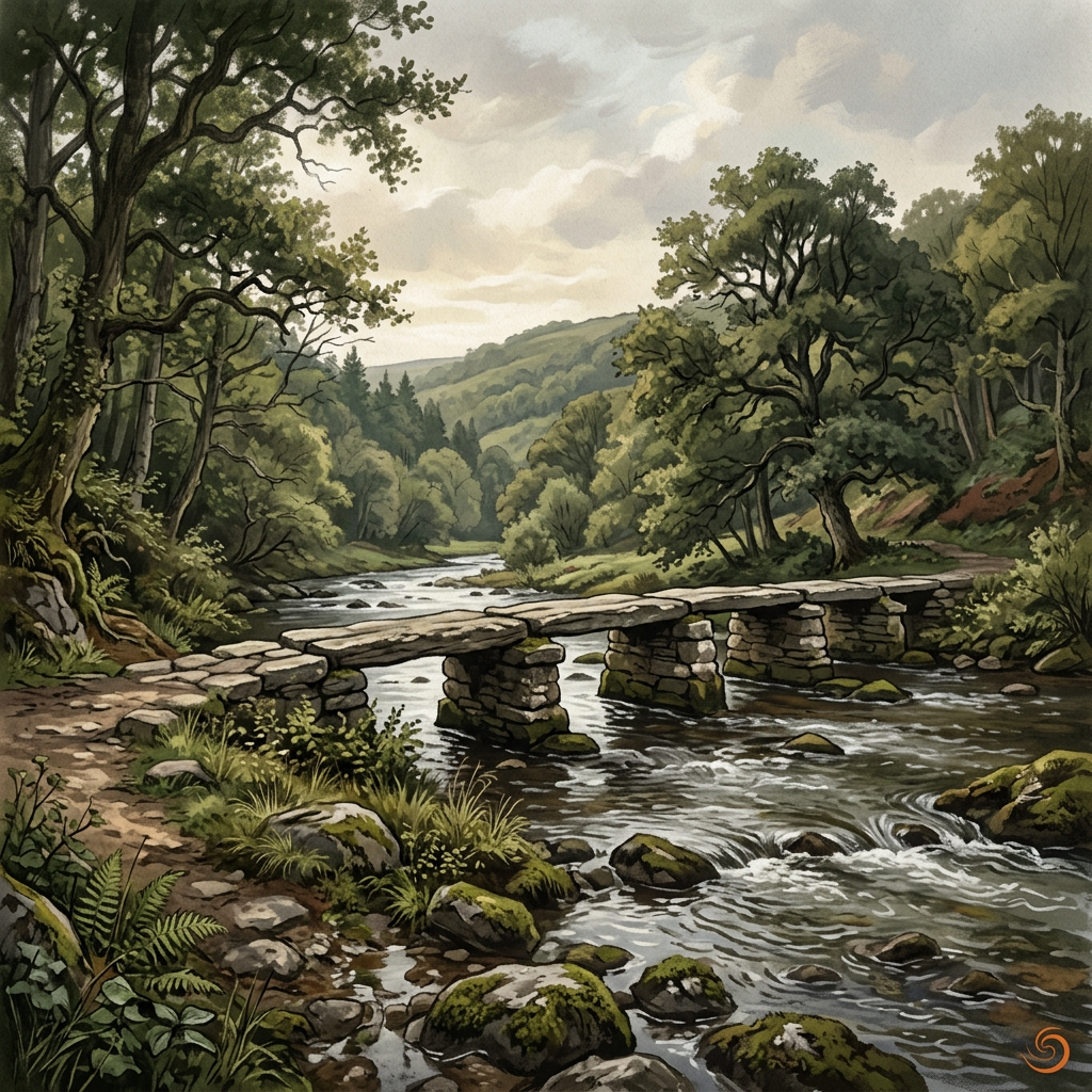
Medieval
Tarr Steps
An ancient river crossing where stone, water and time meet in one of Exmoor’s most memorable landscapes.
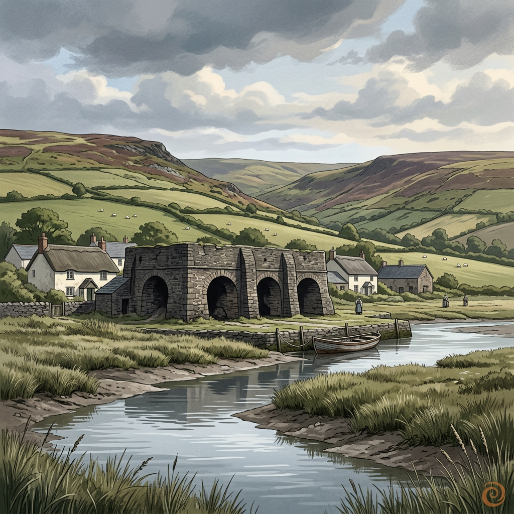
Georgian
Bossington Lime Kilns
Weathered kiln remains on the edge of Porlock Bay, where coastal industry once helped shape farming and building across the Exmoor fringe.
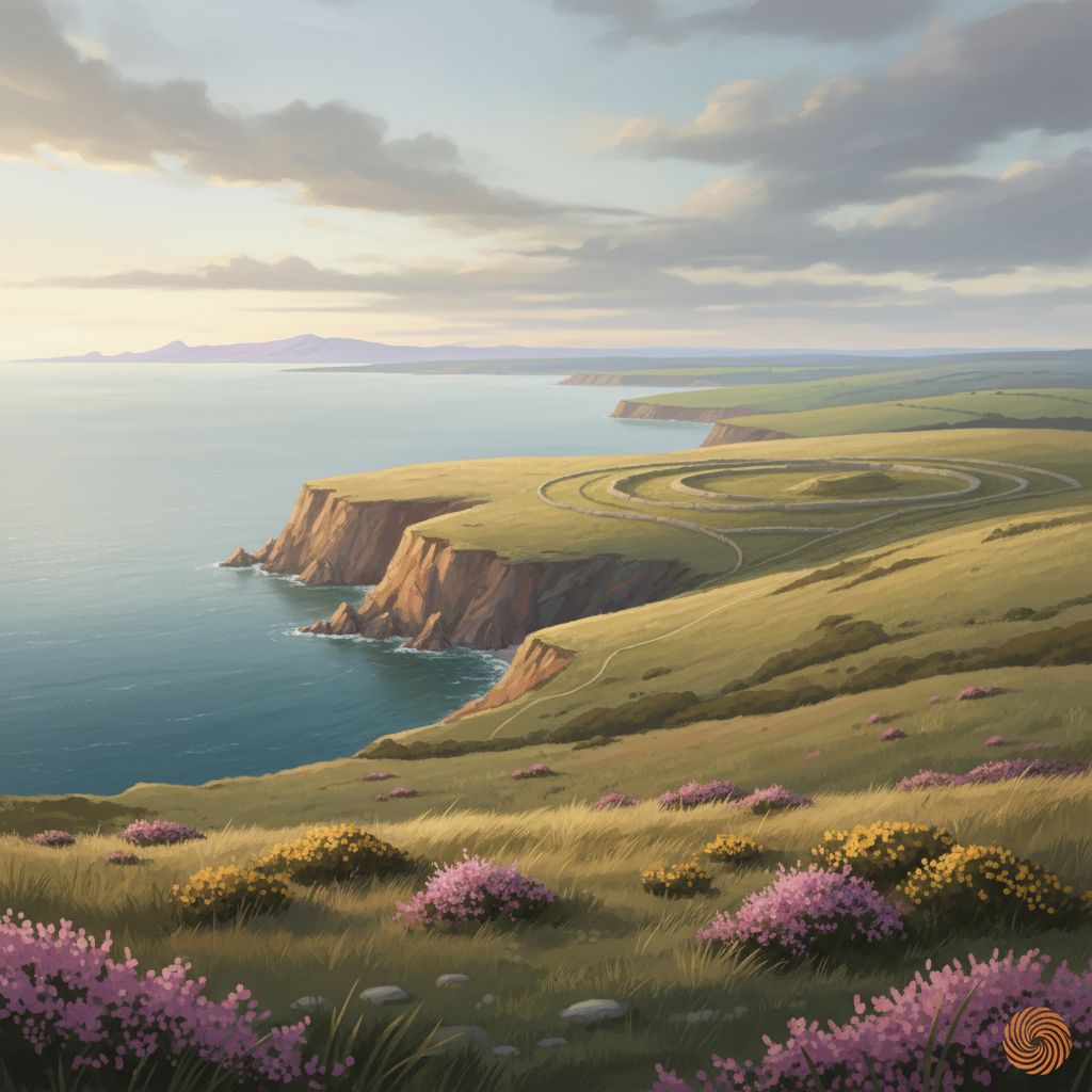
Prehistoric
Selworthy Beacon
A prominent hilltop on Exmoor with prehistoric origins, commanding views and long evidence of human use as lookout, marker and ritual landscape.
Join the 3moors Community for path conditions & local tips.
JoinNearby places
Quick facts