
Bodmin
Bodmin Moor: Big Tors & Stone Circles Loop
A challenging 20 km loop across north Bodmin Moor, linking its highest tors, remote high ground and Bronze Age landscapes. Navigation skills essential.
3moors Verified
This route has been reviewed and prepared by 3moors using mapping, terrain analysis, local knowledge and editorial review.
About this walk
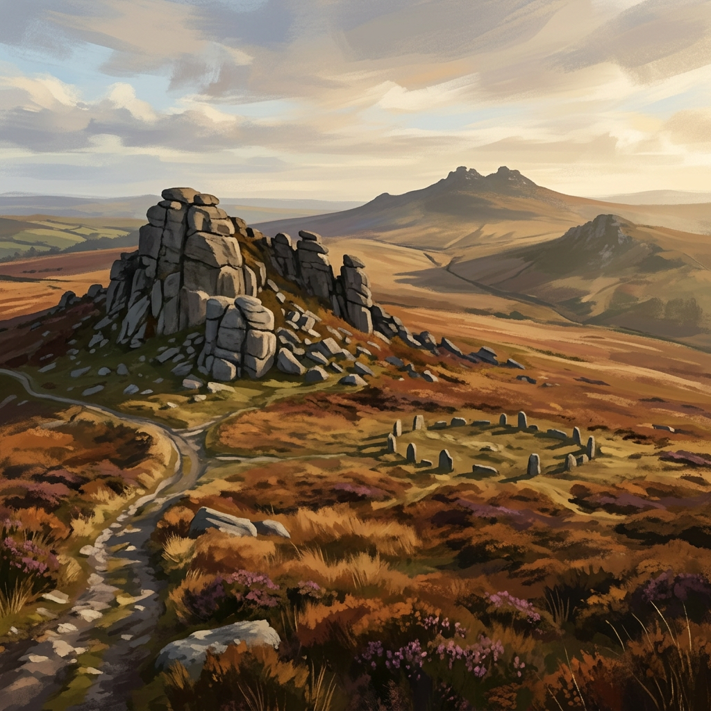
This is Bodmin Moor at its most open and uncompromising — wide horizons, rough ground, and very little in the way of guidance. From the first rise onto Rough Tor, you're into it: granite underfoot, wind in your face, and the sense that you've stepped into something older than the paths themselves. The climb to Brown Willy, Cornwall's highest point, gives you a true 360° — a rare feeling of space in the South West. From there, the route stretches out across Crowdy Moor, quieter and less travelled, before looping back over the higher ground around Alex and Stannon. It's not a walk you drift through. It's one you commit to.
Who this walk is for
Who this walk is for
- ✔Experienced moorland walkers
- ✔Confident navigators
- ✔Those who want Cornwall's highest point
- ✔Fit walkers happy with a full day out
- ✔Dogs welcome (experienced handlers only)
- ✖Not for beginners or inexperienced navigators
- ✖Avoid in poor visibility without strong navigation skills
- ✖Not suitable in severe winter conditions unless very experienced
The Experience
• Effort: Big day out — rough ground and distance • Highlight: Brown Willy summit + sweeping moor views • Experience: Remote, wild, exposed • Key note: Navigation skills essential in poor visibility
Elevation Profile
Illustrative profileRoute Summary
Start at Rough Tor car park (Poldue Downs). Climb via Showery Tor to Rough Tor summit. Cross saddle to Brown Willy. Optionally dip east towards De Lank valley spur, then return. Swing north across Crowdy Moor. Traverse towards Alex / Stannon high ground. Hold a bearing across open moorland. Return via Showery Tor. Descend to car park.
Landscape & History
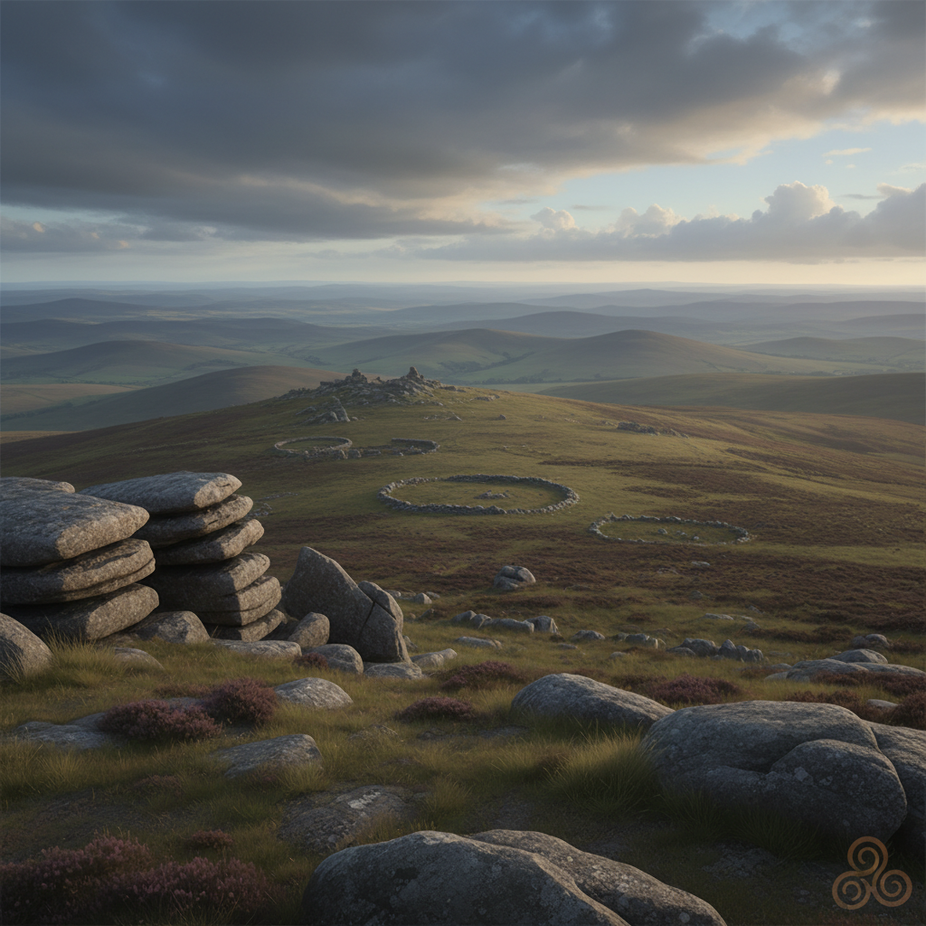
Rough Tor and Brown Willy are Bodmin Moor's most prominent high points — Brown Willy, at 420 metres, is Cornwall's highest. Both tors are classic examples of exposed Cornish granite, shaped by millions of years of weathering into the characteristic boulder-strewn summits known as clitter.
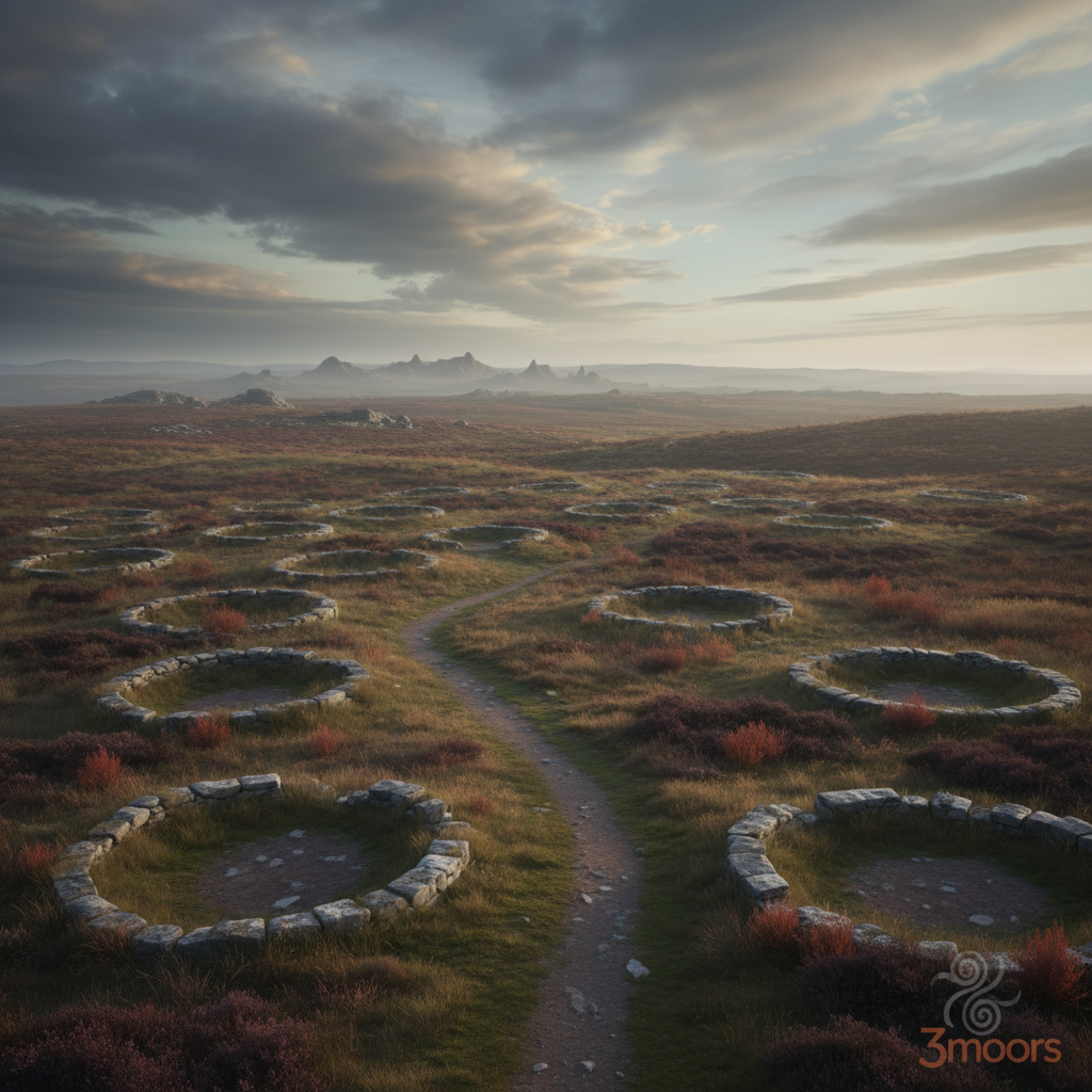
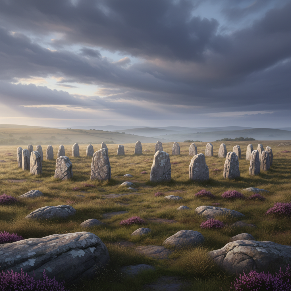
This is a landscape with deep prehistoric roots. Bronze Age communities settled and farmed across these uplands — field systems, cairns and reaves (ancient boundary walls) are still visible across the open moorland. The nearby Stannon stone circle is one of the largest on Bodmin Moor, and the wider area is rich with field evidence of human activity stretching back four thousand years.
Crowdy Moor, the quieter northern section of this route, sees far fewer walkers than the Rough Tor approach — a genuinely remote stretch of open ground with long sight lines and the feeling of real distance.
Navigation is not optional here. The moorland lacks waymarking and paths fade quickly. Map and compass or a downloaded GPX are essential.
Safety & Conditions
Weather
Full exposure to wind and weather across all high ground. Mist can arrive quickly and visibility can vanish. Conditions change fast — check a full forecast before setting out and be prepared to turn back.
Navigation
No waymarking across the open moor. Map and compass or GPS/GPX essential. In poor conditions, shorten to the Rough Tor – Brown Willy out-and-back only. Phone signal is patchy — download offline maps.
Livestock & Wildlife
Moorland ponies graze freely across the area. Keep dogs under control at all times.
Footwear
Sturdy waterproof boots essential. Clitter (loose granite boulders) requires slow and careful footing. Boggy ground likely after rain.
Variations
Short version (10 km): Rough Tor to Brown Willy out-and-back. Longer option: extend towards Stannon Lake (+3–5 km). Exploration option: add Alex Tor for extra high ground.
Access & Parking
Start and finish at Rough Tor car park, Poldue Downs. Small free car park. No facilities on route — carry all food and water. Phone signal patchy.
3moors Community
Recent conditions or questions about this walk?
Join the 3moors Community to ask about path conditions, parking, wildlife sightings and local tips.
Join the 3moors CommunityDiscussion takes place in our Facebook community.
Join the 3moors Community for path conditions & local tips.
JoinWildlife you might see
Common sightings along this route — based on habitat and recent reports
 Peak season
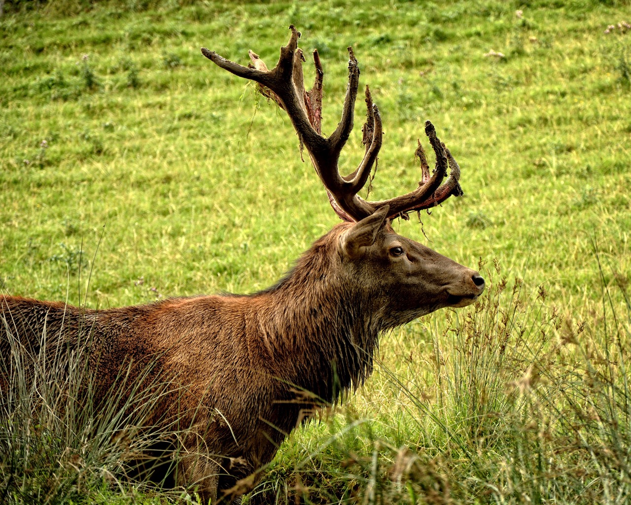
Red Deer
mammal
 Peak season
Common Buzzard
bird
 Season approaching
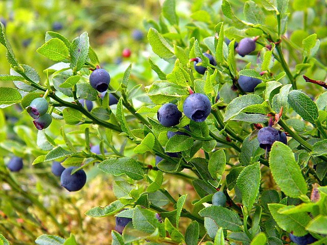
Bilberry
plant
 Peak season
Moorland Fungi
fungi
 Season approaching
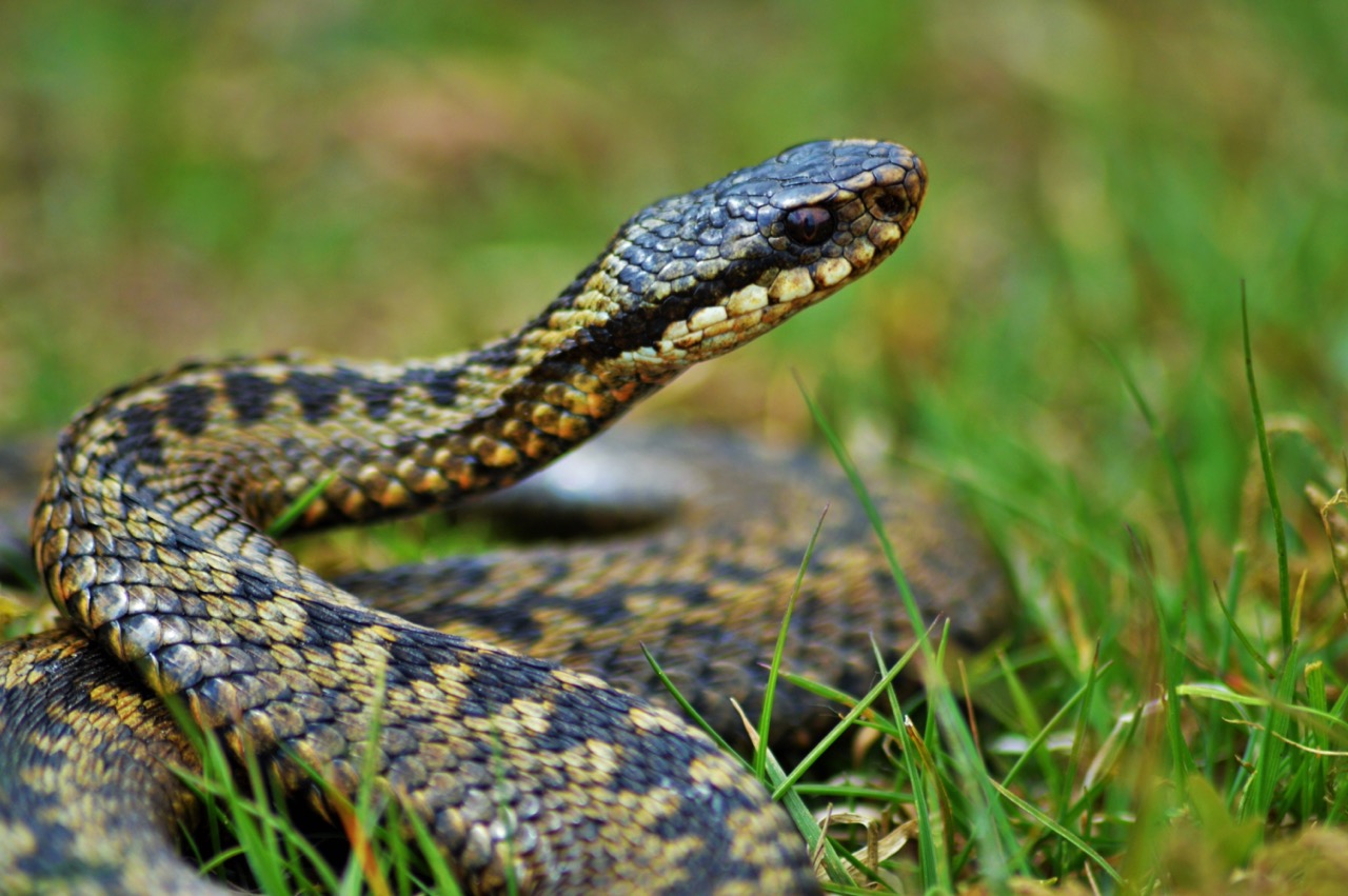
Adder
reptile
Recent sightings on this walk
Real sightings submitted by walkers on this route
No sightings reported for this walk yet — be the first to add one.
History along the route
Walk information is based on direct experience and local knowledge. Conditions on the moor can change — always use your own judgement.
More walks to explore
All walks
Jamaica Inn & Dozmary Pool Loop
A relaxed Bodmin Moor loop from Jamaica Inn to Dozmary Pool, blending wide-open landscapes with the myths and realities of smuggling lore.

Port Isaac Smuggling
A coastal walk taking in whitewashed lanes, harbour corners and a strong smuggling atmosphere.

Mevagissey Harbour
A coastal walk taking in a busy old harbour and compact hillside streets.