

Foggintor Quarry, King’s Tor & Merrivale Stones
A compact West Dartmoor loop mixing dramatic granite quarry ruins, a classic tor viewpoint, and Merrivale’s prehistoric stone rows.
3moors Verified
This route has been reviewed and prepared by 3moors using mapping, terrain analysis, local knowledge and editorial review.
About this walk
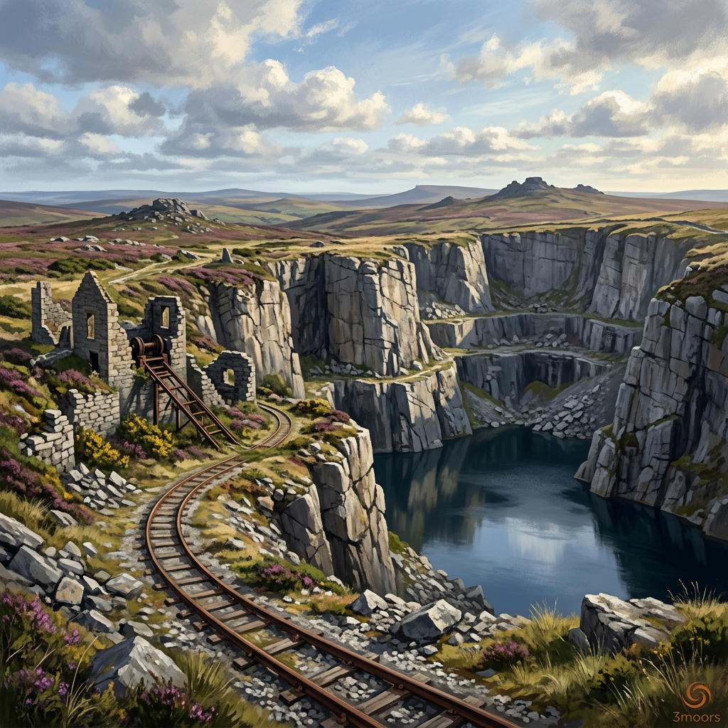
From the old Merrivale quarry road you step into Dartmoor’s industrial past at Foggintor, climb to King’s Tor for wide granite views, then return through one of the moor’s most atmospheric prehistoric landscapes at Merrivale.
The Experience
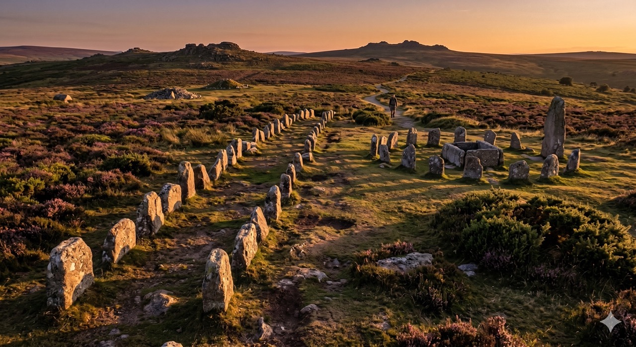
Compact but wonderfully varied. You begin among the towering granite walls of Foggintor Quarry, raw, dramatic, almost cathedral-like in scale. From there the mood shifts: open moorland, skylarks overhead, and the steady rise toward King’s Tor with its broad westward outlook. The finale is quieter and older still, the Bronze Age stone rows and circle at Merrivale, aligned across the moor as they have been for four thousand years. Underfoot it’s uneven in places. Care is essential near quarry edges. But as a short loop that captures Dartmoor’s industrial and prehistoric layers in one outing, it’s hard to beat.
Elevation Profile
Illustrative profileRoute Summary
1) Start at Merrivale lay-by and follow the old quarry track west. 2) Explore Foggintor Quarry carefully, keeping well back from edges. 3) Leave via the northern line to climb gently up to King’s Tor. 4) Drop south-east to the Merrivale stone rows and circle. 5) Rejoin the quarry track to return to the start.
Landscape & History
Foggintor Quarry expanded in the 19th century to feed Britain’s demand for granite, with stone used in major urban and engineering projects. Nearby Merrivale’s stone rows and circle are Bronze Age, giving this short loop an unusual time-span: prehistoric ritual landscape beside Victorian industry.
Safety & Conditions
Weather
Open moorland with wind chill and sudden weather changes. Carry a warm layer even in summer.
Navigation
Navigation can be challenging in mist around tors and quarry features. Don’t rely on mobile signal.
Livestock & Wildlife
Livestock graze the area. Keep dogs on a lead near animals and during lambing season.
Footwear
Wear sturdy boots with good grip. The quarry approaches, loose granite and moorland paths can all be slippery after rain.
Variations
Extend west towards Great Mis Tor for a longer, higher moorland outing. Shorten by staying low around the quarry and returning directly without King’s Tor.
Access & Parking
No formal facilities on the moor. Please leave gates as found and keep dogs under close control around livestock and archaeology.
3moors Community
Recent conditions or questions about this walk?
Join the 3moors Community to ask about path conditions, parking, wildlife sightings and local tips.
Join the 3moors CommunityDiscussion takes place in our Facebook community.
Join the 3moors Community for path conditions & local tips.
JoinWeather near Merrivale Quarry lay-by
Weather forecast temporarily unavailable. Check back shortly.
Wildlife you might see
Common sightings along this route — based on habitat and recent reports
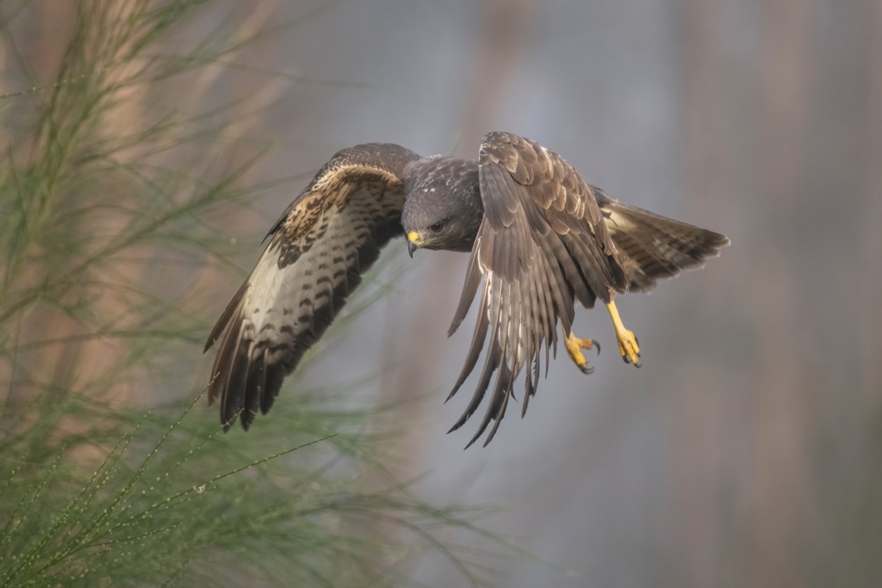 Peak season
Common Buzzard
bird
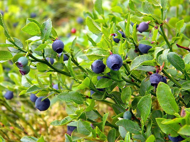 Season approaching
Bilberry
plant
 Peak season
Moorland Fungi
fungi
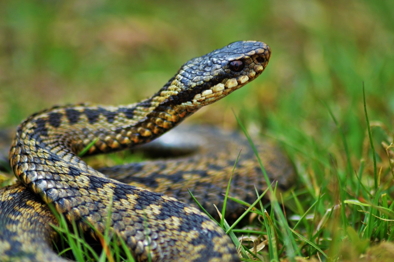 Season approaching
Adder
reptile
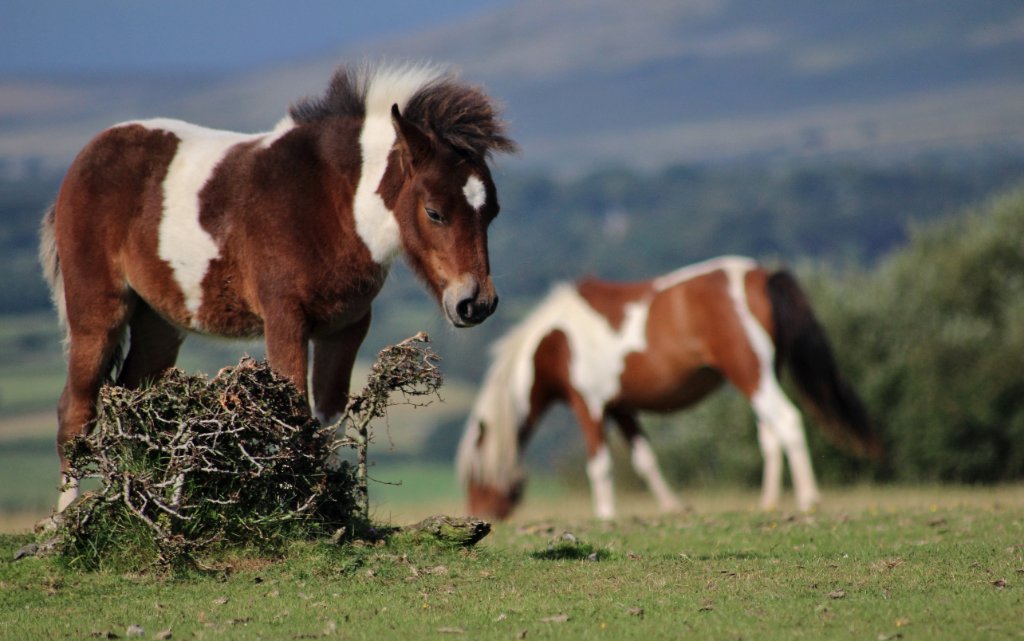 Peak season
Dartmoor Pony
mammal
Recent sightings on this walk
Real sightings submitted by walkers on this route
No sightings reported for this walk yet — be the first to add one.
History along the route
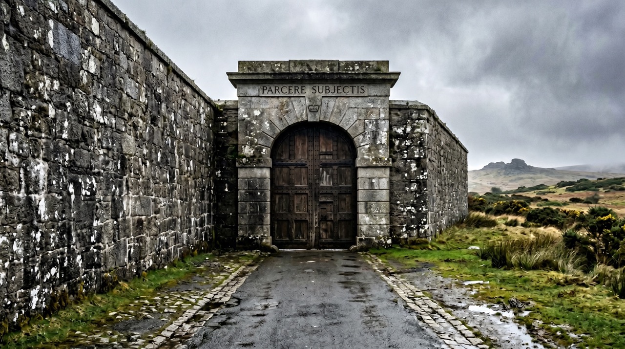
Walk information is based on direct experience and local knowledge. Conditions on the moor can change — always use your own judgement.
More walks to explore
All walks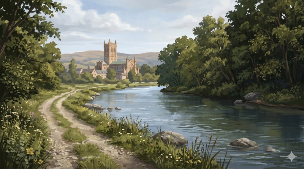
Buckfast Abbey Riverside Walk
A gentle riverside walk from Buckfast Abbey along the River Dart with woodland, wildlife and peaceful views.

White Horse Trail at Cherhill
Short, steep walk to the Cherhill White Horse with sweeping Wiltshire views.
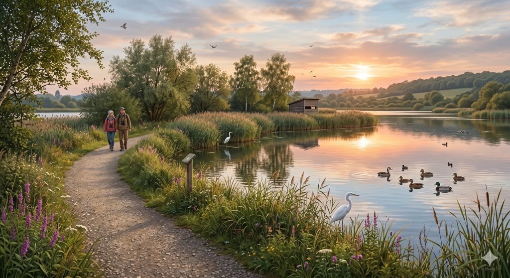
Langford Lakes Waterside Walk
Peaceful lakeside walk with rich wildlife and easy paths.