

Lydford Gorge Rim Walk
A woodland edge walk with dramatic glimpses into one of the South West’s deepest river gorges.
3moors Verified
This route has been reviewed and prepared by 3moors using mapping, terrain analysis, local knowledge and editorial review.
About this walk
This is a walk with a noticeably stronger mood than most short woodland routes.
The gorge below shapes everything. Even brief glimpses down through the trees are enough to remind you that this is no ordinary river valley. The sense of depth and enclosure gives the whole landscape a heavier, more atmospheric feel.
Keeping to the rim makes the route more manageable than a full descent, but it still demands attention. Paths can be uneven, roots cross the ground in places, and the edges drop away more steeply than you might expect.
If you are looking for something with a bit more edge than a typical easy circuit, this walk stands out without requiring a full commitment into the gorge itself.
Who this walk is for
Who this walk is for
- ✖Beginners
- ✖Families
- ✔Dog walkers
- ✖Anyone wanting an easy, gentle walk
The Experience
- Effort: Moderate
- Highlight: Views into the gorge and strong woodland atmosphere
- Best bit: Experiencing the depth of the gorge from above
- Watch for: Slippery ground, roots, and uneven path edges
Elevation Profile
Illustrative profileRoute Summary
- Follow established woodland paths along the upper edges of Lydford Gorge
- Expect occasional viewpoints looking down into the gorge
- Paths are generally clear but require more attention than easy woodland walks
- Keep to the rim for a shorter route, or link into deeper gorge sections if confident
Landscape & History
The River Lyd has cut a steep, dramatic gorge over thousands of years, creating one of the most distinctive wooded river landscapes in the South West.
Unlike the open moorland nearby, this is a more enclosed and shaded environment. The combination of steep sides, dense woodland, and constant water movement gives the area its distinctive atmosphere.
Safety & Conditions
Weather
Wet conditions quickly increase the risk of slipping on roots, rock, and leaf-covered ground.
Navigation
Moderate rather than difficult, but care is needed at path junctions and near steeper edges.
Livestock & Wildlife
Usually less of a concern than on open farmland routes.
Footwear
Proper walking shoes or boots with good grip are recommended, especially outside dry summer conditions.
Variations
- Keep to the rim for a shorter, more controlled walk
- Extend into deeper gorge sections for a more challenging route
- Combine with other nearby paths for a longer outing
Access & Parking
- National Trust parking available at Lydford Gorge
- Woodland terrain and steeper edges make this less suitable for casual or family walking
- Some paths can be narrow or uneven underfoot
3moors Community
Recent conditions or questions about this walk?
Join the 3moors Community to ask about path conditions, parking, wildlife sightings and local tips.
Join the 3moors CommunityDiscussion takes place in our Facebook community.
Join the 3moors Community for path conditions & local tips.
JoinWeather near Lydford Gorge entrance
Weather forecast temporarily unavailable. Check back shortly.
Wildlife you might see
Common sightings along this route — based on habitat and recent reports
 Peak season
Red Deer
mammal
 Season approaching
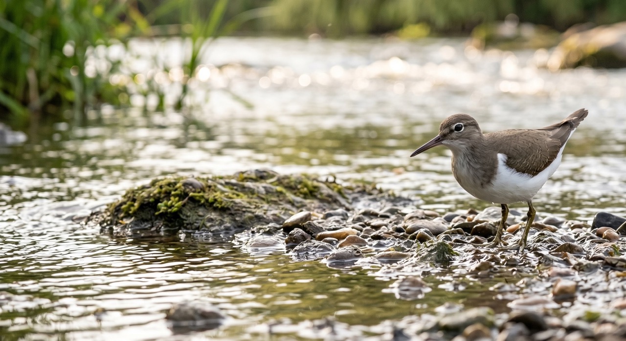
Common Sandpiper
marine-life
 Peak season
Common Buzzard
bird
 Season approaching
Bilberry
plant
 Peak season
Moorland Fungi
fungi
Recent sightings on this walk
Real sightings submitted by walkers on this route
No sightings reported for this walk yet — be the first to add one.
History along the route



Base write-up prepared before field check; refine after walking for current path conditions and access notes.
More walks to explore
All walks
Buckfast Abbey Riverside Walk
A gentle riverside walk from Buckfast Abbey along the River Dart with woodland, wildlife and peaceful views.

White Horse Trail at Cherhill
Short, steep walk to the Cherhill White Horse with sweeping Wiltshire views.
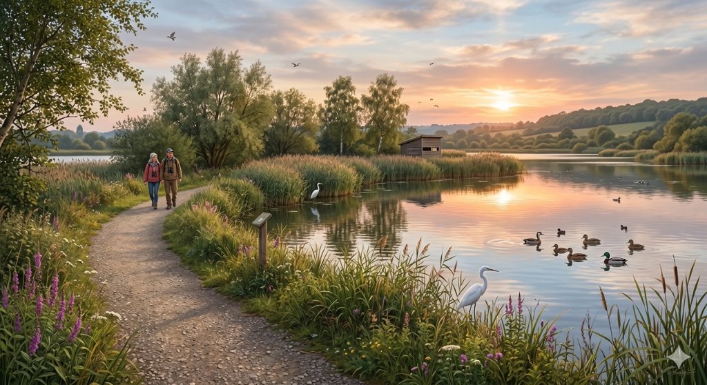
Langford Lakes Waterside Walk
Peaceful lakeside walk with rich wildlife and easy paths.