
Coast
Tintagel — Castle, Rocky Valley & St Nectan's Glen Loop
A spectacular circular walk from Tintagel combining coastal paths, Rocky Valley and St Nectan's Glen. Cliffs, history and one of Cornwall's most iconic landscapes.
3moors Verified
This route has been reviewed and prepared by 3moors using mapping, terrain analysis, local knowledge and editorial review.
About this walk
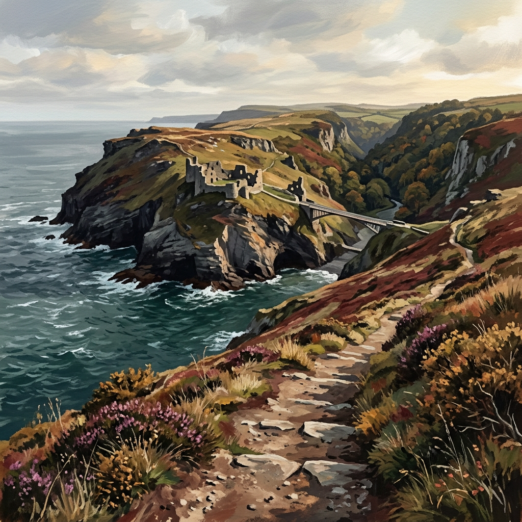
This is Cornwall turned up to full volume. You start in Tintagel, but it doesn't take long before the landscape takes over — cliffs dropping into the Atlantic, wind pushing across open headland, and the sense that every corner carries a story. The route skirts the famous Tintagel Castle, where myth and history blur into one. From there, the coast path leads you out past Barras Nose, one of the wildest-feeling headlands in the area. Then the walk shifts again. You drop into Rocky Valley, where the atmosphere changes completely — enclosed, green, and almost hidden. Follow the path inland and you reach St Nectan's Glen, where a waterfall cuts straight through rock into a shaded pool. It's a walk of contrasts — and that's what makes it special.
Who this walk is for
Who this walk is for
- ✔Those seeking dramatic coastal scenery with hidden valleys
- ✔History and mythology enthusiasts
- ✔Walkers comfortable with steps and moderate climbs
- ✔Dogs welcome (with care near cliffs)
- ✖Not suitable after heavy rain without good footwear
- ✖Bossiney Haven access tide dependent — check in advance
The Experience
• Effort: Moderate with steady climbs • Highlight: Tintagel Castle + St Nectan's Glen • Experience: Clifftop drama, woodland calm, myth and history • Best moment: Golden hour at Barras Nose
Elevation Profile
Illustrative profileRoute Summary
Start at Tintagel Visitor Car Park. Walk west towards Glebe Cliff. Visit St Materiana's Church viewpoint. Follow path towards Tintagel Castle headland. Join SW Coast Path north-east to Barras Nose. Continue to Bossiney Haven (tide dependent). Follow coast to Rocky Valley. Turn inland to St Nectan's Glen. Return via lanes and field paths through Bossiney. Finish back in Tintagel.
Landscape & History
Tintagel Castle occupies one of Cornwall's most dramatic coastal settings. Archaeological evidence suggests a high-status settlement from the 5th–6th centuries AD, placing it in the period associated with Arthurian legend — though the castle itself is largely 13th century, built by Richard, Earl of Cornwall.
St Materiana's Church stands apart from the village on the clifftop, its origins pre-Norman, and offers one of the most elemental viewpoints on the walk. Barras Nose is a lesser-visited headland with a rugged, exposed character.
Rocky Valley is a steep-sided, wooded valley that feels entirely removed from the coastal drama above. Near the valley are Bronze Age-style labyrinth carvings on the rock face, their true age and origin debated — possibly medieval, possibly older.
St Nectan's Glen is the most atmospheric section: a wooded cleft where a waterfall pours through a natural rock arch into a circular plunge pool. The site has long been associated with Celtic Christianity and later with New Age pilgrimage — visitors tie ribbons and leave offerings in the trees.
Safety & Conditions
Weather
Cliff edges throughout — steep and exposed. Not suitable in poor weather or darkness. Multiple flights of steps can be tiring. Mobile signal patchy on clifftop sections — carry navigation.
Navigation
SW Coast Path well waymarked. Local signs for Rocky Valley and St Nectan's Glen. Carry OS Explorer 111 or GPX. Bossiney Haven access depends on tide and conditions.
Livestock & Wildlife
Keep dogs under control near cliff edges and ground-nesting birds. Peregrine falcons nest on the cliffs in spring.
Footwear
Good boots essential. Steps and cliff paths can be slippery after rain. Woodland paths at St Nectan's Glen can be slick.
Variations
Short loop (3–4 km): Castle headland and Barras Nose only. Extend: Continue to Boscastle for a full-day walk. Alternative: Head south towards Trebarwith Strand.
Access & Parking
Start and finish at Tintagel Visitor Car Park (PL34 0AJ). Pay and display — arrive early in peak season. Full facilities in Tintagel: cafés, pubs, toilets. Bus routes available. Optional entry fees for Tintagel Castle and St Nectan's Glen.
3moors Community
Recent conditions or questions about this walk?
Join the 3moors Community to ask about path conditions, parking, wildlife sightings and local tips.
Join the 3moors CommunityDiscussion takes place in our Facebook community.
Join the 3moors Community for path conditions & local tips.
JoinWeather near Tintagel Visitor Car Park
Weather forecast temporarily unavailable. Check back shortly.
Wildlife you might see
Common sightings along this route — based on habitat and recent reports
 Peak season
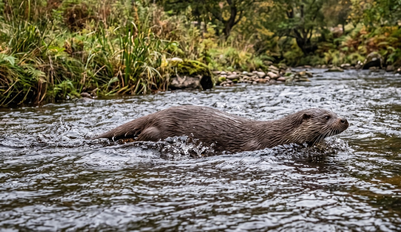
Otter
mammal
 Season approaching
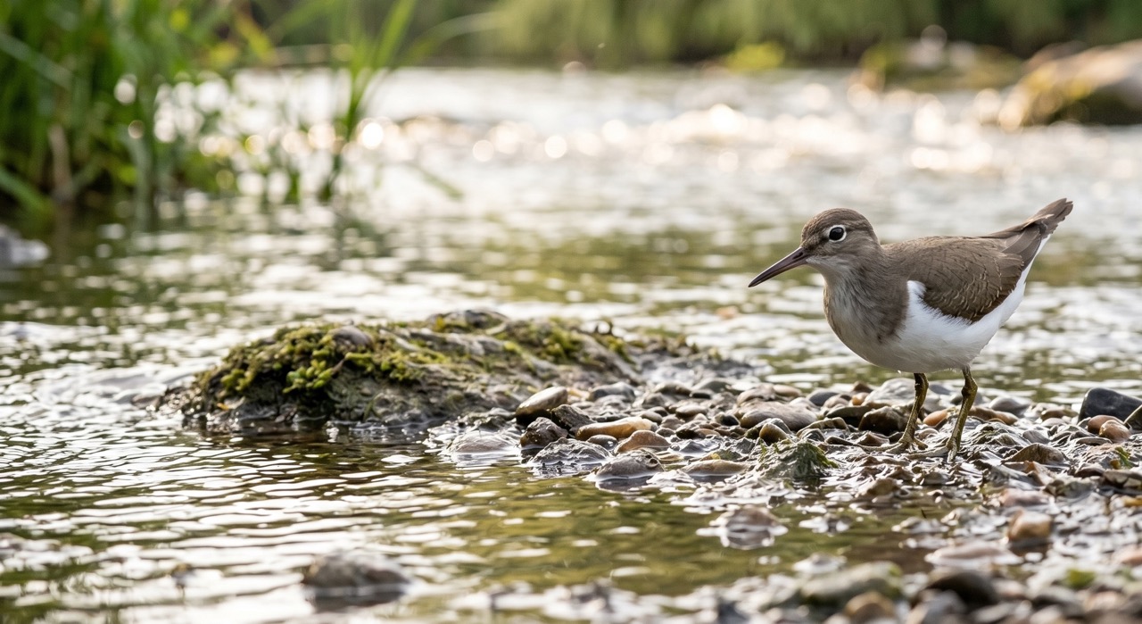
Common Sandpiper
marine-life

Curlew
bird

Cotton Grass
plant
 Peak season
Moorland Fungi
fungi
Recent sightings on this walk
Real sightings submitted by walkers on this route
No sightings reported for this walk yet — be the first to add one.
History along the route

Walk information is based on direct experience and local knowledge. Conditions on the moor can change — always use your own judgement.
More walks to explore
All walks
Ebbor Gorge Hidden Trails
There’s a slightly wild edge to Ebbor Gorge. Not dramatic like a mountain, not open like the moors — but enclosed, steep, and just unpredictable enough to feel like an adventure. It’s one of those walks where you don’t just “complete a route”… you wander it.

Knowlton Church & Earthworks
A short walk to one of Dorset’s most atmospheric historic sites, where a ruined church stands inside ancient earthworks.

Badbury Rings Woodland Loop
Explore the ancient earthworks of Badbury Rings on a peaceful woodland loop with wide views and deep history underfoot.