

Yes Tor & High Willhays Ridge
Dartmoor’s high point day: a rugged ascent from Meldon Reservoir to Yes Tor and High Willhays, with far-reaching views when the cloud lifts.
3moors Verified
This route has been reviewed and prepared by 3moors using mapping, terrain analysis, local knowledge and editorial review.
About this walk
If you want Dartmoor’s biggest ‘height’ in one walk, this is the one. From Meldon Reservoir you climb into a rougher, higher moorland world—rocky underfoot, boggy in places, and fully exposed to the weather. Yes Tor and High Willhays sit close together, linked by a high plateau path, and on clear days the views stretch to the north Devon coast.
The Experience
This is Dartmoor at its most exposed. Once you leave the reservoir behind, the landscape opens out into a harsher, quieter world — rough underfoot, often windy, and unforgiving in poor visibility.
Route Map
Elevation Profile
Illustrative — based on ascent dataRoute Summary
Haytor Lower Car Park → Begin at Haytor Lower Car Park and climb gently towards the iconic granite stacks of Haytor Rocks Steady climbs, open exposure, uneven ground.Exposed sections in wind, Slippery rock after rain, Navigation in mist ~350m total ascentBegin from Meldon Reservoir car park and follow the clear track rising towards Yes Tor. The path is well-used but rocky underfoot. As you gain height, the reservoir drops away behind you and the long ridge begins to reveal itself.Yes Tor is reached first, a broad, stony summit often marked by wind and weather. From here the ground dips slightly before rising again to High Willhays. The crossing is short but feels significant.After High Willhays, continue north along the ridge towards Black Tor if conditions allow, or retrace your steps to Yes Tor and descend by the same route. In clear weather, paths are obvious. In mist, bearings are required.
Landscape & History
Yes Tor and High Willhays form the highest ground on Dartmoor and in southern England. The route rises from the edge of Meldon Reservoir onto a broad military and grazing landscape of rough grass, peat and granite, where weather and altitude shape the whole feel of the day.
Safety & Conditions
Weather
The tops are fully exposed and can feel severe even when lower ground is calm. Wind chill, driving rain and hill fog can arrive quickly.
Navigation
This walk needs confident map use in poor visibility. Carry a map, compass and GPX and be prepared to turn back if the cloud drops.
Livestock & Wildlife
Livestock are usually limited compared with lower moorland routes, but ponies and sheep may still be encountered. Keep dogs under close control.
Footwear
Waterproof boots with good grip are strongly recommended because of boggy patches, rough stone and exposed high-level terrain.
Variations
A shorter option is to climb Yes Tor and return without crossing to High Willhays. Strong walkers sometimes extend the day toward Black Down or the upper West Okement valley when conditions are clear and dry.
Access & Parking
This is a proper high-moor outing rather than a casual stroll. Start from Meldon Reservoir car park, where facilities are limited. Choose a clear forecast and avoid this route if you are not comfortable with exposed, path-light terrain.
3moors Community
Recent conditions or questions about this walk?
Join the 3moors Community to ask about path conditions, parking, wildlife sightings and local tips.
Join the 3moors CommunityDiscussion takes place in our Facebook community.
Join the 3moors Community for path conditions & local tips.
JoinWeather near Meldon Reservoir car park
Cloudy
Today
Met Office forecast · updated every 30 min
Wildlife you might see
Common sightings along this route — based on habitat and recent reports
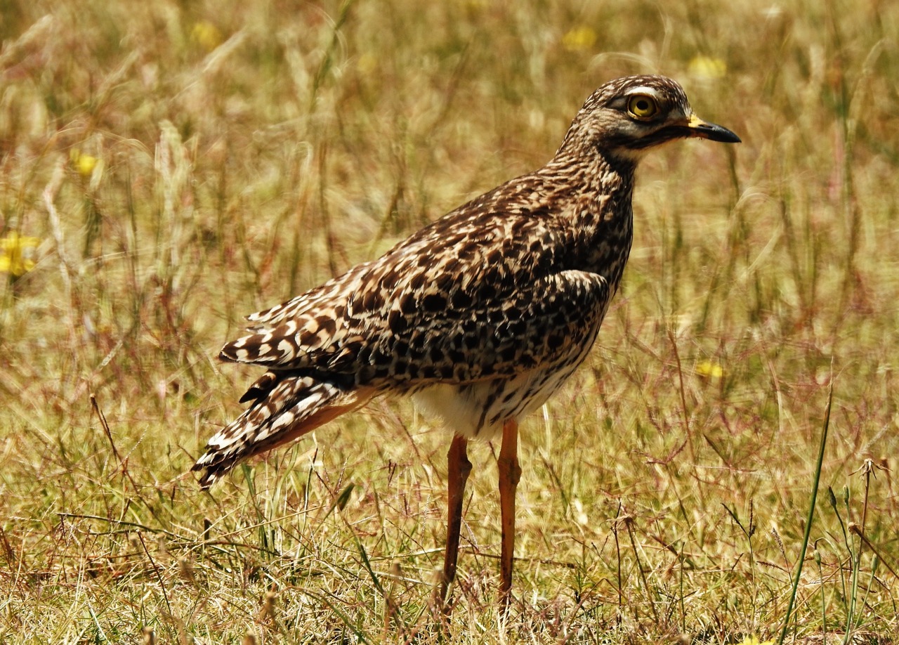
Curlew
bird
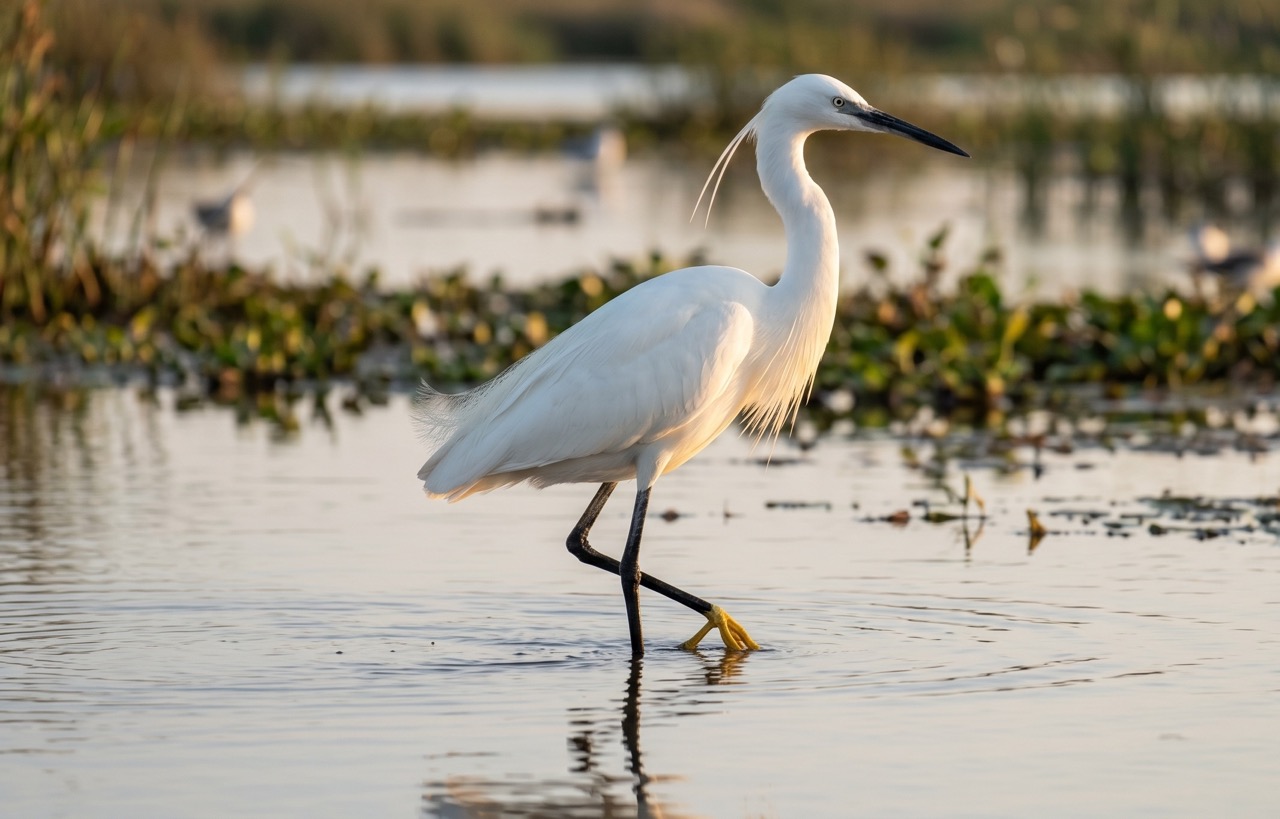 Peak season
Little Egret
marine-life
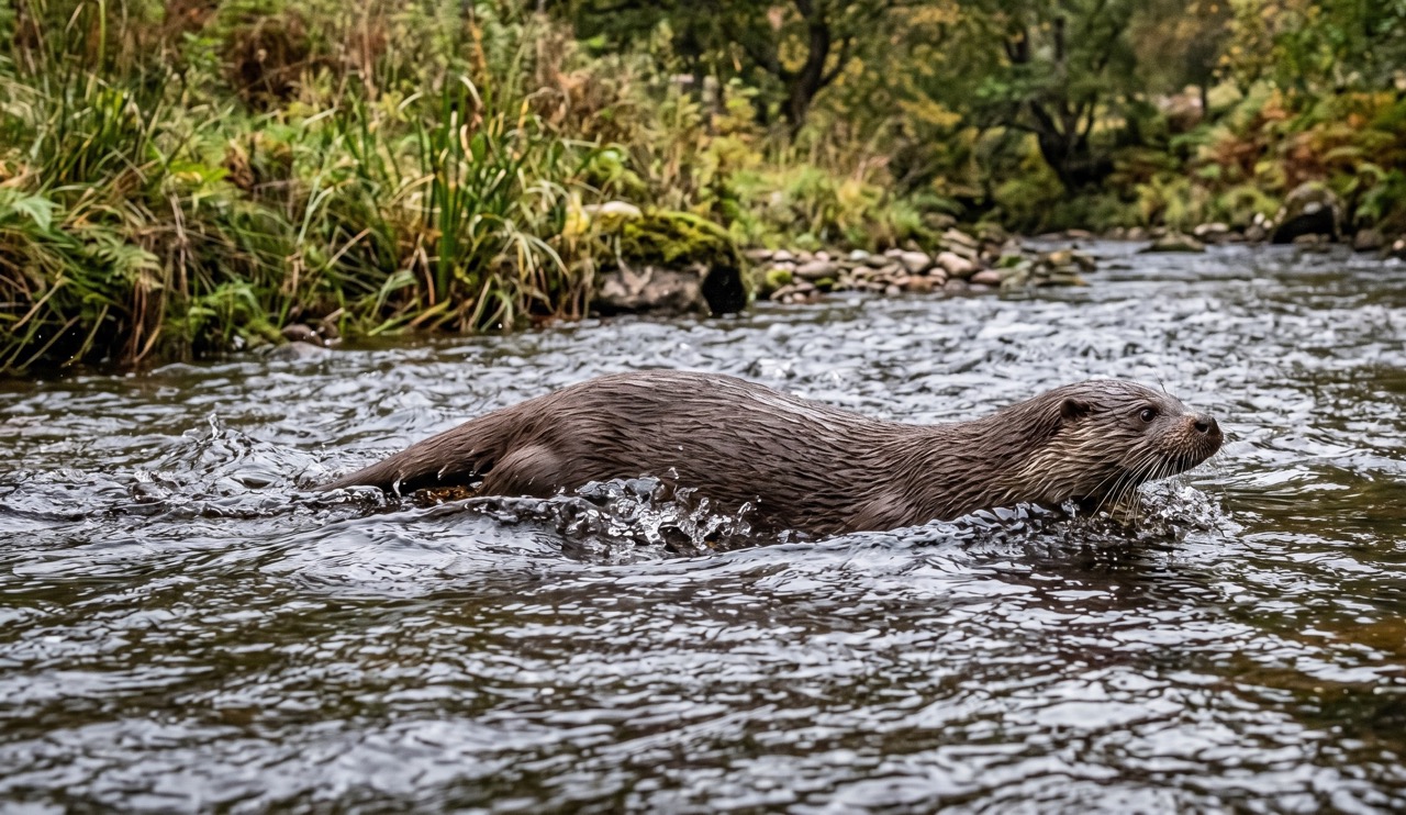 Peak season
Otter
mammal
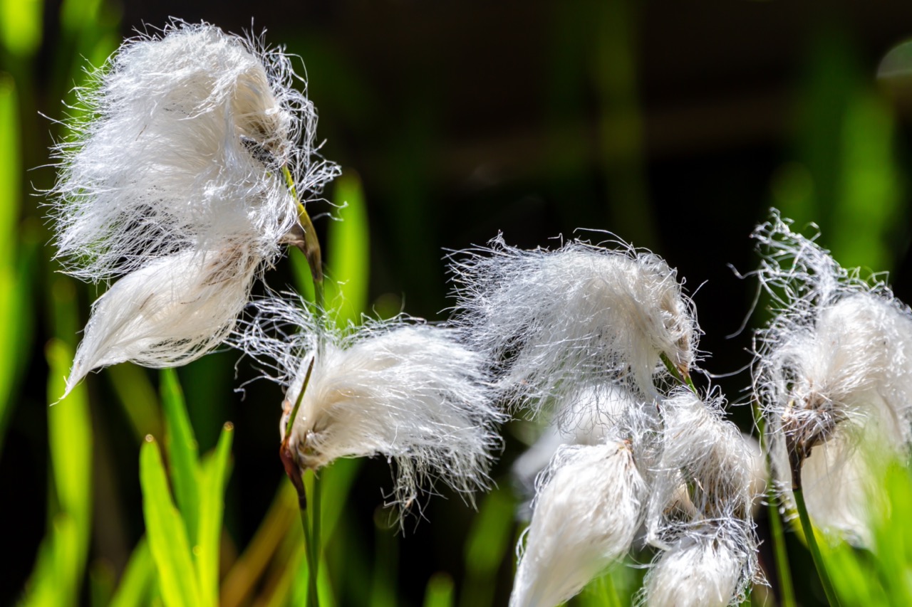
Cotton Grass
plant
 Peak season
Moorland Fungi
fungi
Recent sightings on this walk
Real sightings submitted by walkers on this route
No sightings reported for this walk yet — be the first to add one.
History along the route
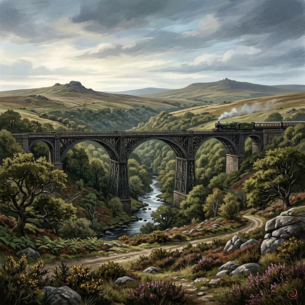
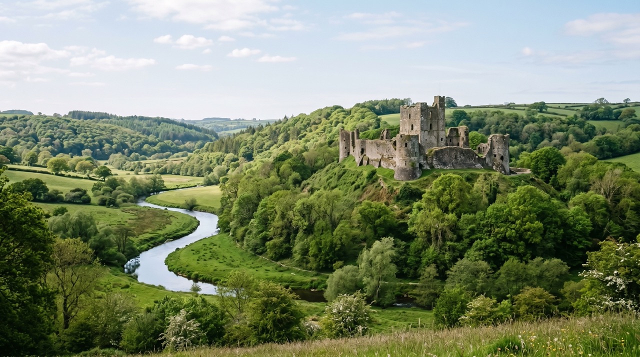
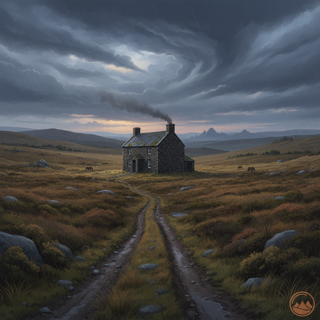
Walk information is based on direct experience and local knowledge. Conditions on the moor can change — always use your own judgement.
More walks to explore
All walks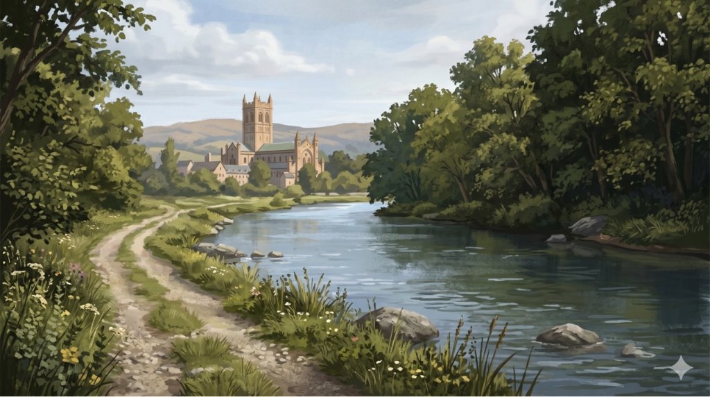
Buckfast Abbey Riverside Walk
A gentle riverside walk from Buckfast Abbey along the River Dart with woodland, wildlife and peaceful views.
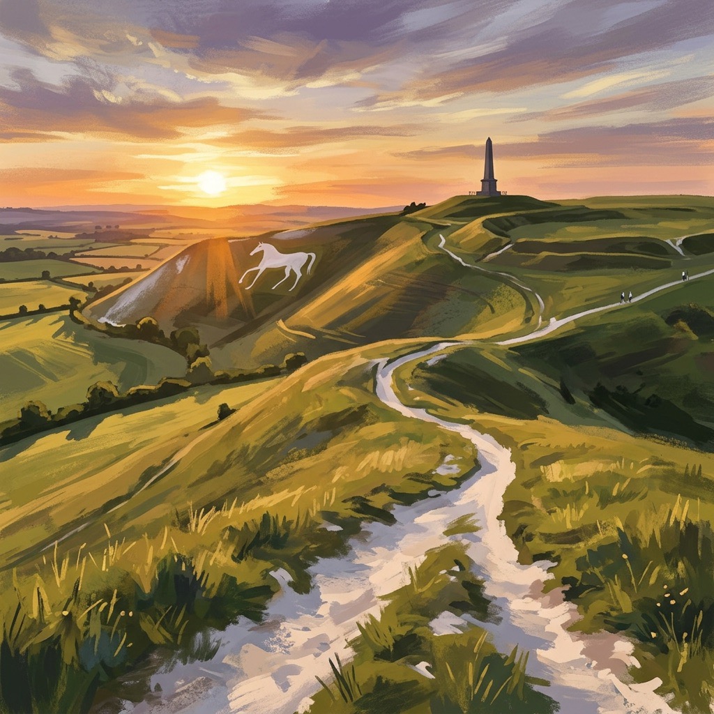
White Horse Trail at Cherhill
Short, steep walk to the Cherhill White Horse with sweeping Wiltshire views.
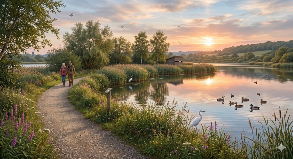
Langford Lakes Waterside Walk
Peaceful lakeside walk with rich wildlife and easy paths.