
Georgian
Charlestown Harbour
A Georgian planned harbour tied to trade, tall ships and industrial Cornwall.
Quick facts
Why this place matters
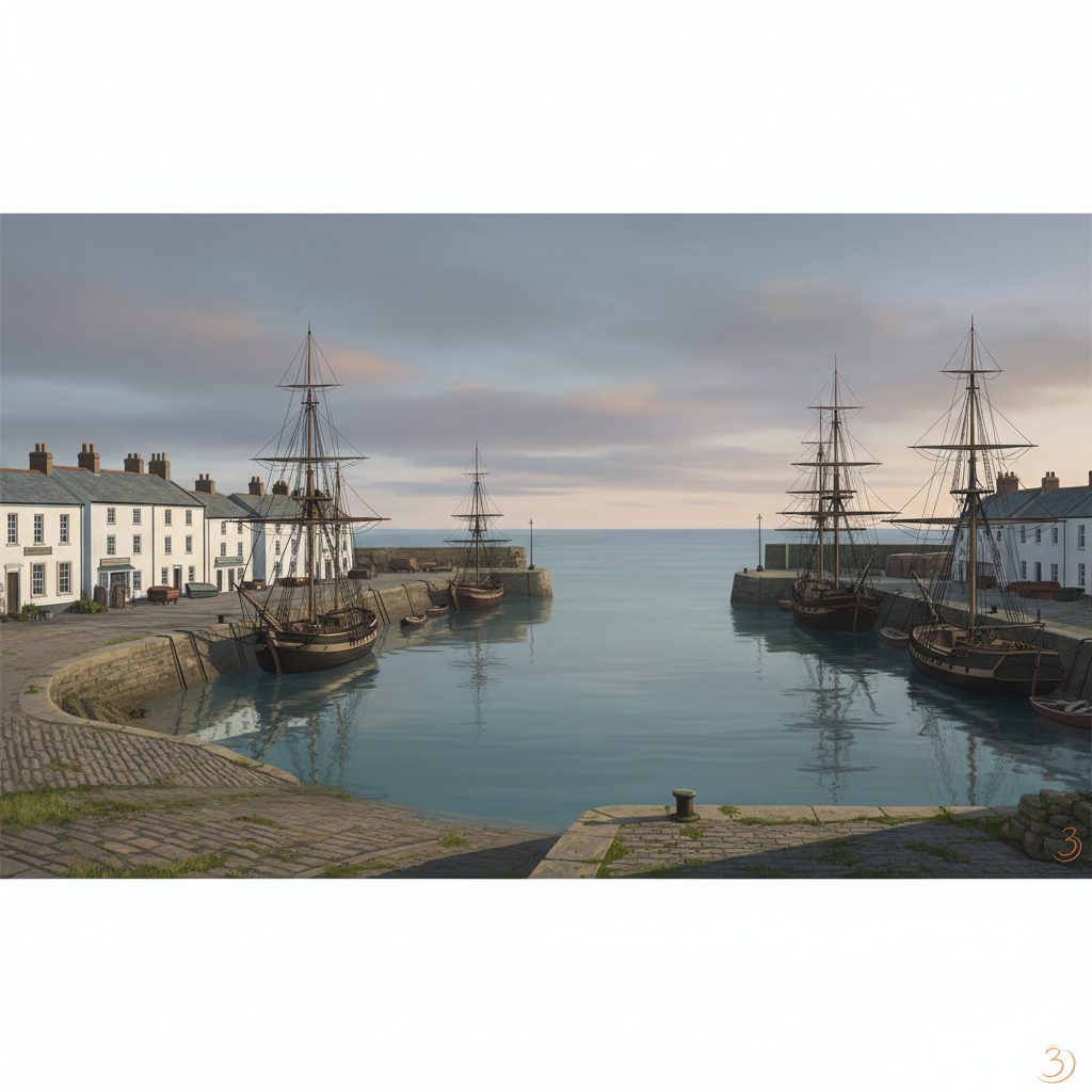
Charlestown Harbour is one of the best-preserved Georgian harbours in the UK, offering a clear view of how coastal trade once operated.
This harbour was built with purpose.
What it is
A historic harbour built for trade and shipping.
Why it mattered
It supported Cornwall’s industrial economy, particularly mining exports.
What you can see
Stone harbour walls, quays and traditional sailing ships.
You can still read it.
What happened here
Charlestown Harbour was developed in the late 18th century as part of Cornwall’s expanding industrial economy. Its purpose was practical — to move goods efficiently by sea.
The harbour became closely linked to mining, exporting materials such as copper and china clay. Its enclosed design provided protection for ships, making it a reliable working port.
Unlike many harbours that have been heavily modernised, Charlestown has retained much of its original structure. This makes it a rare example of a Georgian harbour that still reflects its original function.
Over time, commercial activity declined, and the harbour transitioned into a heritage and visitor site. However, its character remains rooted in its working past.
Key dates
18th century
Harbour constructed to support trade and industry.
19th century
Busy period of maritime activity linked to mining.
20th century
Decline in commercial use.
Modern era
Preserved as a historic harbour and visitor destination.
Standing here now
Standing on the quayside, the harbour feels enclosed and purposeful. The stone walls, the water, the layout, everything speaks of function. Even with visitors and restored ships, the structure still reads as a working place.
What to look for
Harbour basin
Historic docks
Tall ship setting
Landscape & wider significance
Charlestown connects Cornwall’s industrial past with its maritime setting. It shows how coastal infrastructure supported inland industry.
Visiting today
Easily accessible and well preserved, Charlestown offers a strong sense of place. Walking the harbour gives a clear understanding of how it once operated.
Good to know
💡 Did you know?
🎯 Try this when you visit
🤔 Think about this
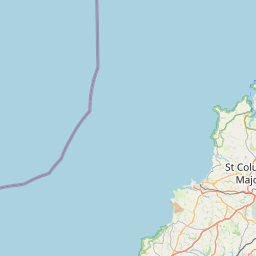
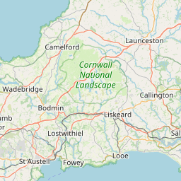
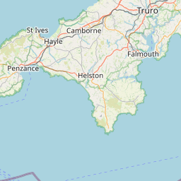
Map & Directions



Related history nearby
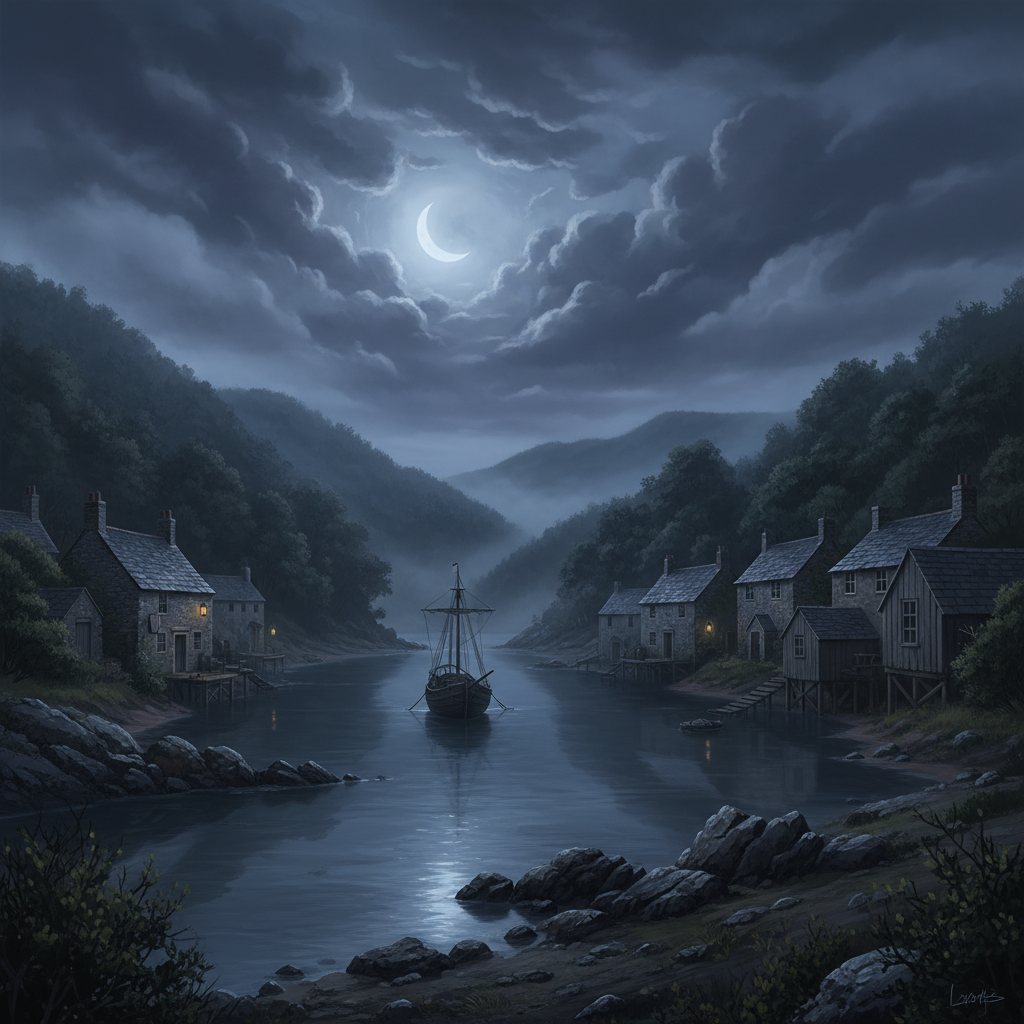
Georgian
Salcombe Smuggling
A beautiful estuary town with a hidden past of contraband cargoes, secret coves and midnight smuggling runs.
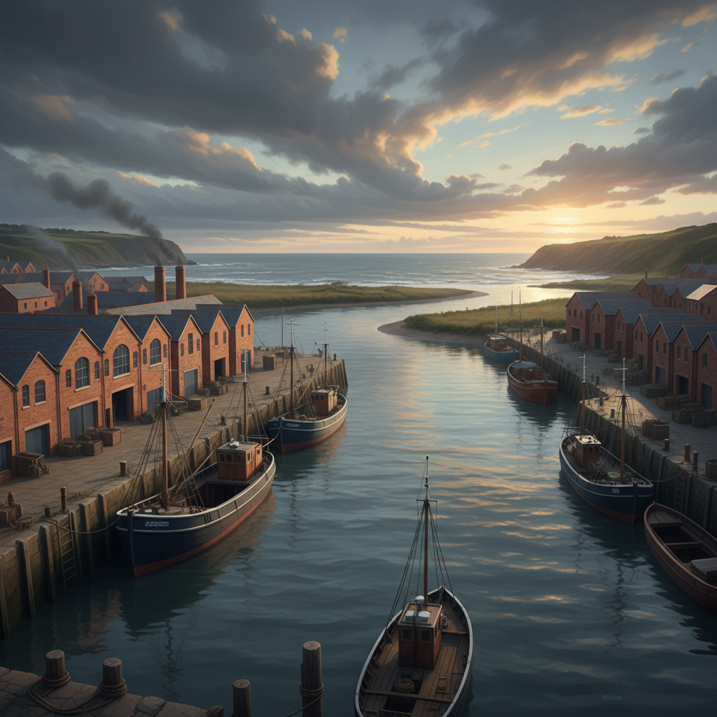
Victorian
Teignmouth Port
A historic Devon port where trade, shipbuilding and seafaring shaped the town and its place on the south coast.

Victorian
Hartland Quay Shipwrecks
A dramatic stretch of coast where storms, rock and Atlantic force turned Hartland Quay into one of the South West’s most dangerous shipwreck shores.
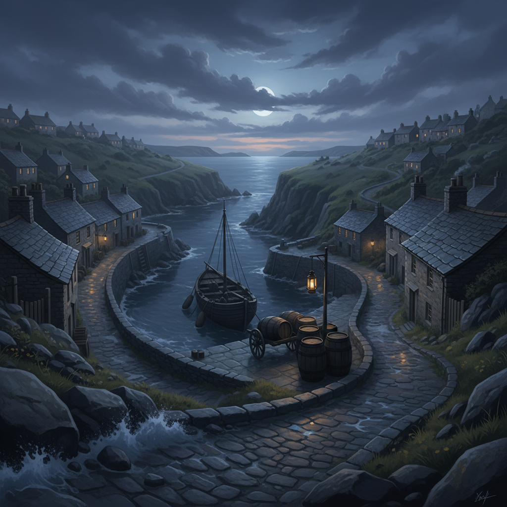
Georgian
Port Isaac Smuggling
A picturesque Cornish fishing village with a darker past of hidden cargoes, secret coves and midnight smuggling runs.
Join the 3moors Community for path conditions & local tips.
JoinNearby places
Quick facts