
Victorian
Teignmouth Port
A historic Devon port where trade, shipbuilding and seafaring shaped the town and its place on the south coast.
Quick facts
Why this place matters
Teignmouth matters because it shows how ports connected local industries to national and global trade. Its harbour, docks and maritime heritage reflect centuries of seafaring life and economic change.
The moors did not end inland.
What it is
A historic estuary port.
Why it mattered
It mattered because trade made places like this gateways.
What you can see
Harbour and surviving maritime landscape.
They often reached the sea.
What happened here
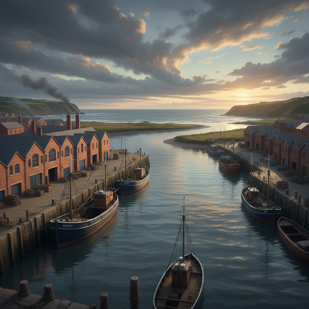
Teignmouth Port has long been an important gateway for trade and transport on the south Devon coast. From fishing and shipbuilding to cargo and coastal trade, the port helped shape the town’s economy and identity.
Teignmouth developed as an important port thanks to its position at the mouth of the River Teign. Fishing, coastal trade and shipbuilding all played key roles in its early growth.
By the Victorian period, the port handled larger volumes of cargo, linking local industries such as clay extraction and agriculture to wider markets. Warehouses, quays and rail links strengthened its role.
The port also had military significance at times, including during periods of war and coastal defence.
Today Teignmouth remains an active working port while also serving as a leisure and visitor destination, preserving both heritage and industry.
Key dates
18th century
Port trade expands
19th century
Maritime importance grows
Modern era
Historic port continues
Standing here now
Standing here now, you can watch ships moving through the estuary and along the quay. The sea, the River Teign and the working port combine to create a strong sense of movement and purpose.
What to look for
- 1Working docks and quays
- 2Warehouses and maritime buildings
- 3The estuary and harbour entrance
- 4Evidence of shipbuilding and trade infrastructure
Landscape & wider significance
The port sits where the River Teign meets the English Channel. The estuary provided shelter and access inland, while the open sea connected Teignmouth to wider trade routes.
Myths & folklore
Storm and wreck stories endure.
Visiting today
Easy access with parking and town facilities. Watch around working harbour areas and busy roads.
Good to know
💡 Did you know?
🎯 Try this when you visit
🤔 Think about this
Map & Directions



Related history nearby
Georgian
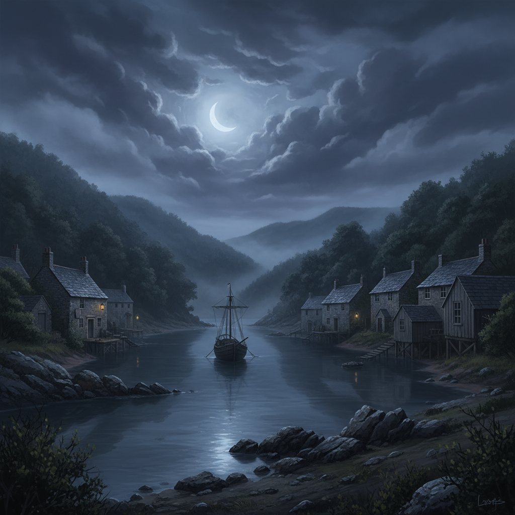
Salcombe Smuggling
A beautiful estuary town with a hidden past of contraband cargoes, secret coves and midnight smuggling runs.
Victorian
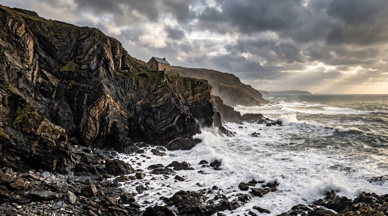
Hartland Quay Shipwrecks
A dramatic stretch of coast where storms, rock and Atlantic force turned Hartland Quay into one of the South West’s most dangerous shipwreck shores.
Georgian
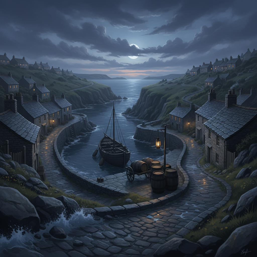
Port Isaac Smuggling
A picturesque Cornish fishing village with a darker past of hidden cargoes, secret coves and midnight smuggling runs.
Georgian
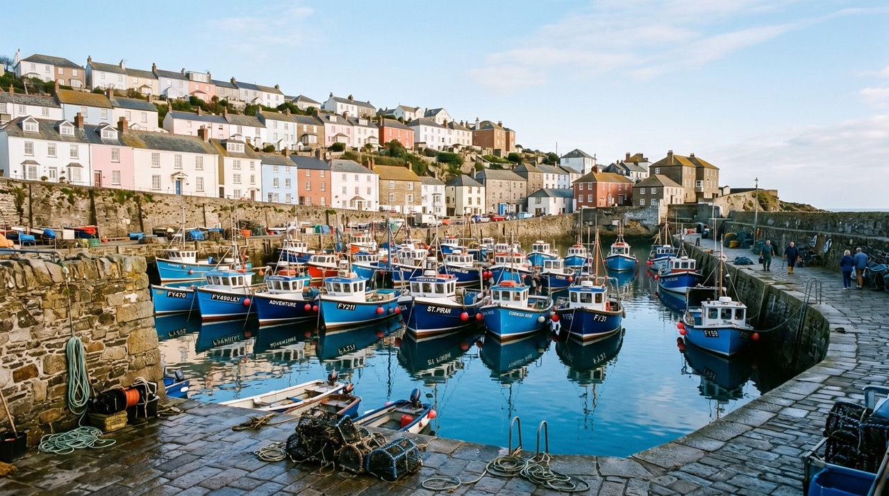
Mevagissey Harbour
A historic Cornish fishing harbour shaped by trade, storms and generations of seafaring life.
Join the 3moors Community for path conditions & local tips.
JoinNearby places
Quick facts