
Coast
Secret Cove – South Hams
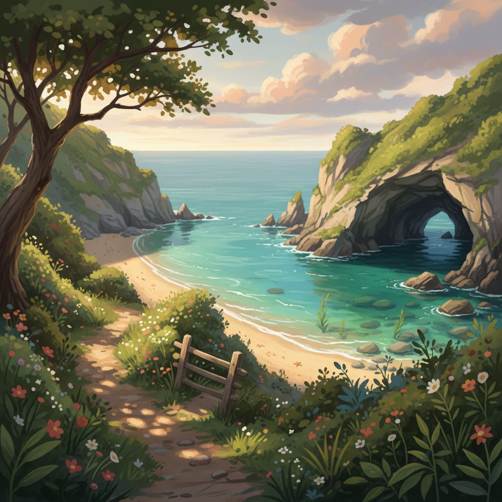
A tucked-away cove on the South Hams coast with crystal-clear water, a tiny sea cave, and a short but steep descent. Best visited at mid to low tide.
3moors Verified
This route has been reviewed and prepared by 3moors using mapping, terrain analysis, local knowledge and editorial review.
About this walk
A narrow notch in the coastline, hidden between low headlands, this is the sort of place you almost walk past — until the path suddenly drops away and reveals it below. On calm days the water turns glassy and clear, the slate cliffs banded with colour, and the small sea cave glows green as the afternoon light hits it. You'll often have it to yourself apart from gulls and the occasional paddleboarder slipping quietly by. It's not a big beach — and that's the point. This is a place for a quick swim, a sit in the sun, and that feeling you've found something slightly off the map.
Who this walk is for
Who this walk is for
- ✔Swimmers and paddlers
- ✔Photographers
- ✔Anyone after a quiet, off-the-map spot
- ✔Dogs welcome (lead on descent)
- ✖Not suitable for buggies or poor mobility
- ✖Avoid in strong southerly swell
The Experience
• Effort: Short but steep • Highlight: Clear water + hidden sea cave • Best time: 1–2 hrs after low tide • Vibe: Quiet, tucked-away, slightly adventurous
Elevation Profile
Illustrative profileRoute Summary
Park carefully in the small roadside pull-in (don't block gates). Walk along the lane to the permissive path stile. Follow the hedge line towards the coast. At the marker post, bear right towards the headland notch. Descend the fisherman's path (steep, rough steps). Use the handline if needed — check it first. Reverse the route to exit before the tide cuts access.
Landscape & History
Hidden feel — easy to miss, rewarding to find. Clear water — some of the best in South Devon on calm days. Sea cave — small but atmospheric, especially in afternoon light. Peaceful — often far quieter than nearby beaches.
Photography: Best light 1–2 hrs after low tide. Shoot low along the curve of the cove. Include slate textures for depth. Long exposure works well with an ND filter.
Safety & Conditions
Weather
Best at mid–low tide. At high tide the beach largely disappears and access can be cut off at the base of the steps. Always check tide times before setting out. Sheltered in light easterlies — avoid in strong southerly swell.
Navigation
Minimal waymarking. Bear right at the marker post towards the headland notch. Path becomes obvious on descent.
Livestock & Wildlife
Keep dogs on lead on the descent. Rockpools — look, don't disturb wildlife.
Footwear
Wear proper footwear — the final 40–50m descent is steep, slippery in wet weather, with loose scree and occasional rockfall.
Variations
Clifftop loop: 3–4 km coastal circuit option. Village stop: traditional pub or cream tea nearby. Second swim: larger beach ~15 mins away.
Access & Parking
Steep descent (final 40–50m). Slippery in wet weather. Loose scree and occasional rockfall. Rope/handline present — test before using. Not suitable for buggies or poor mobility. No toilets, bins or café on site. Nearest amenities 10–15 min drive.
3moors Community
Recent conditions or questions about this walk?
Join the 3moors Community to ask about path conditions, parking, wildlife sightings and local tips.
Join the 3moors CommunityDiscussion takes place in our Facebook community.
Join the 3moors Community for path conditions & local tips.
JoinWeather near Roadside pull-in, South Hams coast
Cloudy
Today
Met Office forecast · updated every 30 min
Wildlife you might see
Common sightings along this route — based on habitat and recent reports
 Peak season
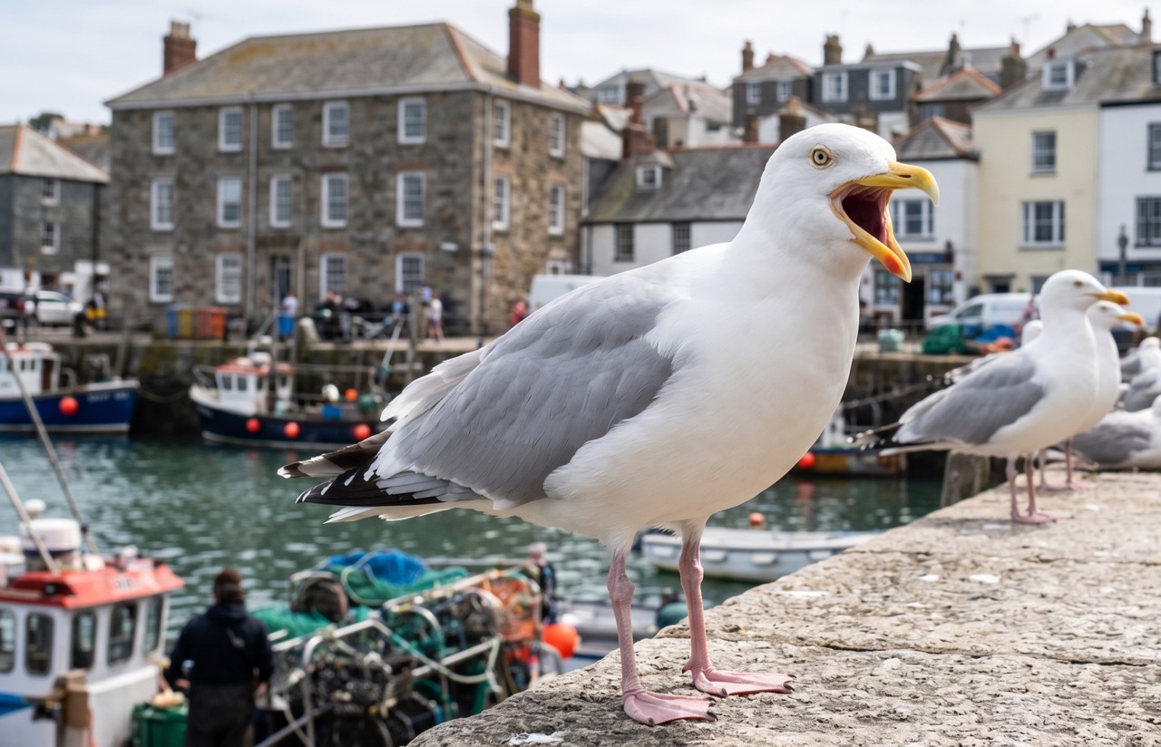
Herring Gull
marine-life
 Peak season
Peregrine Falcon
bird
 Season approaching
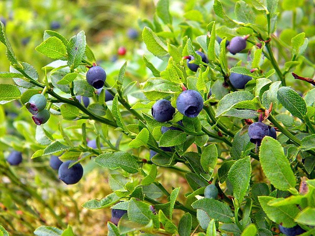
Bilberry
plant
 Peak season
Moorland Fungi
fungi
 Season approaching
Adder
reptile
Recent sightings on this walk
Real sightings submitted by walkers on this route
No sightings reported for this walk yet — be the first to add one.
History along the route


Walk information is based on direct experience and local knowledge. Conditions on the moor can change — always use your own judgement.
More walks to explore
All walks
Ebbor Gorge Hidden Trails
There’s a slightly wild edge to Ebbor Gorge. Not dramatic like a mountain, not open like the moors — but enclosed, steep, and just unpredictable enough to feel like an adventure. It’s one of those walks where you don’t just “complete a route”… you wander it.

Knowlton Church & Earthworks
A short walk to one of Dorset’s most atmospheric historic sites, where a ruined church stands inside ancient earthworks.

Badbury Rings Woodland Loop
Explore the ancient earthworks of Badbury Rings on a peaceful woodland loop with wide views and deep history underfoot.