
Dartmoor
Tamar Trails — Morwellham Quay Walk
A scenic 8.2 km walk from Tamar Trails to Morwellham Quay, exploring Devon Great Consols, woodland tracks and the historic Tavistock Canal port.
3moors Verified
This route has been reviewed and prepared by 3moors using mapping, terrain analysis, local knowledge and editorial review.
About this walk
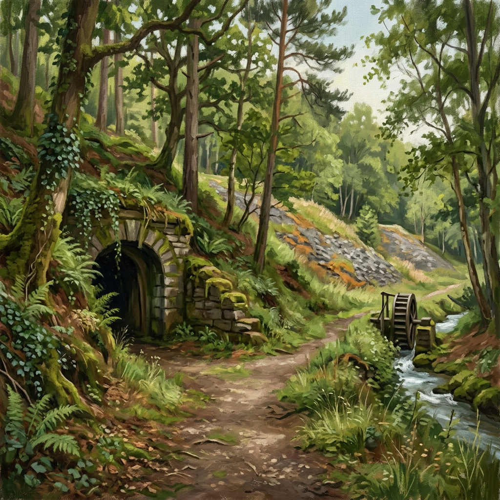
This walk feels layered. You start in the quiet woodland of the Tamar Trails, but it doesn't take long before the past starts to show itself — spoil tips, tramway lines, and the scattered remains of what was once one of Europe's richest mining areas. At Devon Great Consols, the scale of the industry becomes clear. This was not a small operation — it powered a global trade in copper and arsenic. Then the route narrows and drops. The path towards Morwellham Quay becomes more dramatic, with glimpses of the Tamar below and steeper, more enclosed sections through the trees. And then suddenly, you arrive at the river. Morwellham Quay sits quietly now, but it was once a major export hub, connected to Tavistock by canal, tunnel and inclined plane — a remarkable piece of engineering.
Who this walk is for
Who this walk is for
- ✔History and heritage enthusiasts
- ✔Mixed ability groups wanting a shorter walk
- ✔Woodland walkers
- ✔Dogs welcome (with care near mining remains)
- ✖Stay on marked paths — avoid disturbed soils and spoil
- ✖Steep descent towards river — not suitable for very young children unaccompanied
The Experience
• Effort: Moderate with short steep sections • Highlight: Morwellham Quay + mining remains • Experience: Woodland walk with strong heritage • Best for: Shorter walk with real historical depth
Elevation Profile
Illustrative profileRoute Summary
Start at Tamar Trails Centre (PL19 8JE). Follow red/black trail towards Devon Great Consols. Pass mining remains and spoil tips. Continue on woodland tramway paths. Reach Chimney Rock (narrow section). Descend towards the River Tamar. Finish at Morwellham Quay.
Landscape & History
Devon Great Consols was one of the richest copper mines in the world during its peak in the mid-19th century, generating extraordinary wealth and employing thousands of workers across the Tamar Valley. The mining landscape here — tramways, engine houses, arsenic calciners, leats — is part of the Cornish Mining World Heritage Site, which extends across both Devon and Cornwall.
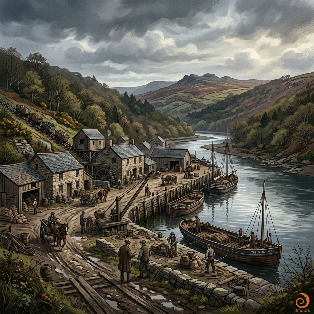
Morwellham Quay was the main export port for the valley's mines, connected to Tavistock by the Tavistock Canal — a remarkable feat of engineering completed in 1817. The canal terminated at a cliff-edge inclined plane that lowered boats down to the quay, from where copper ore was shipped out along the Tamar estuary.
At its peak, Morwellham was one of the busiest inland ports in the west of England. It fell into disuse as the mining industry declined and now operates as an outdoor heritage museum, though the route to reach it on foot preserves its industrial atmosphere far better than the car park approach.
The Tamar Trails network was developed to make this industrial landscape accessible on foot and by bike, threading through the woodland that has grown over much of the former mine workings.
Safety & Conditions
Weather
Paths can be muddy after rain — waterproof boots recommended. Short exposed section near Chimney Rock. Carry waterproofs.
Navigation
Tamar Trails waymarked with colour-coded markers. Public footpath sections less clear — OS Explorer or GPX helpful. Stay on marked paths through mining areas.
Livestock & Wildlife
No significant livestock. Stay on marked paths — historic mining area with disturbed ground. Avoid touching spoil heaps.
Footwear
Waterproof boots strongly recommended. Paths steep and muddy in places, particularly near the river descent.
Variations
Circular return: Climb back via higher forest tracks, adding 2–4 km. Extend to Morwell Rocks viewpoint. Short option: Partial out-and-back from Tamar Trails.
Access & Parking
Start: Tamar Trails Centre (PL19 8JE), large car park. Finish: Morwellham Quay. Café and toilets at start (seasonal). Gunnislake rail station nearby for return. Morwellham has limited additional facilities.
3moors Community
Recent conditions or questions about this walk?
Join the 3moors Community to ask about path conditions, parking, wildlife sightings and local tips.
Join the 3moors CommunityDiscussion takes place in our Facebook community.
Join the 3moors Community for path conditions & local tips.
JoinWeather near Tamar Trails Centre
Weather forecast temporarily unavailable. Check back shortly.
Wildlife you might see
Common sightings along this route — based on habitat and recent reports
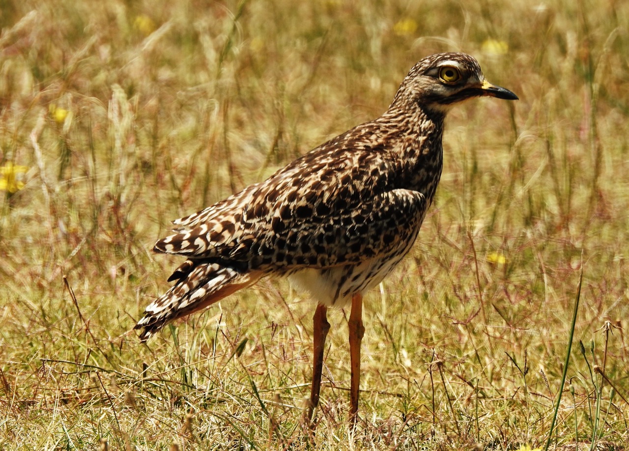
Curlew
bird
 Peak season
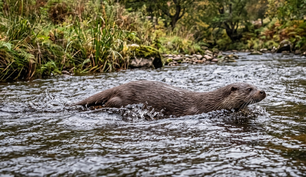
Otter
mammal
 Season approaching
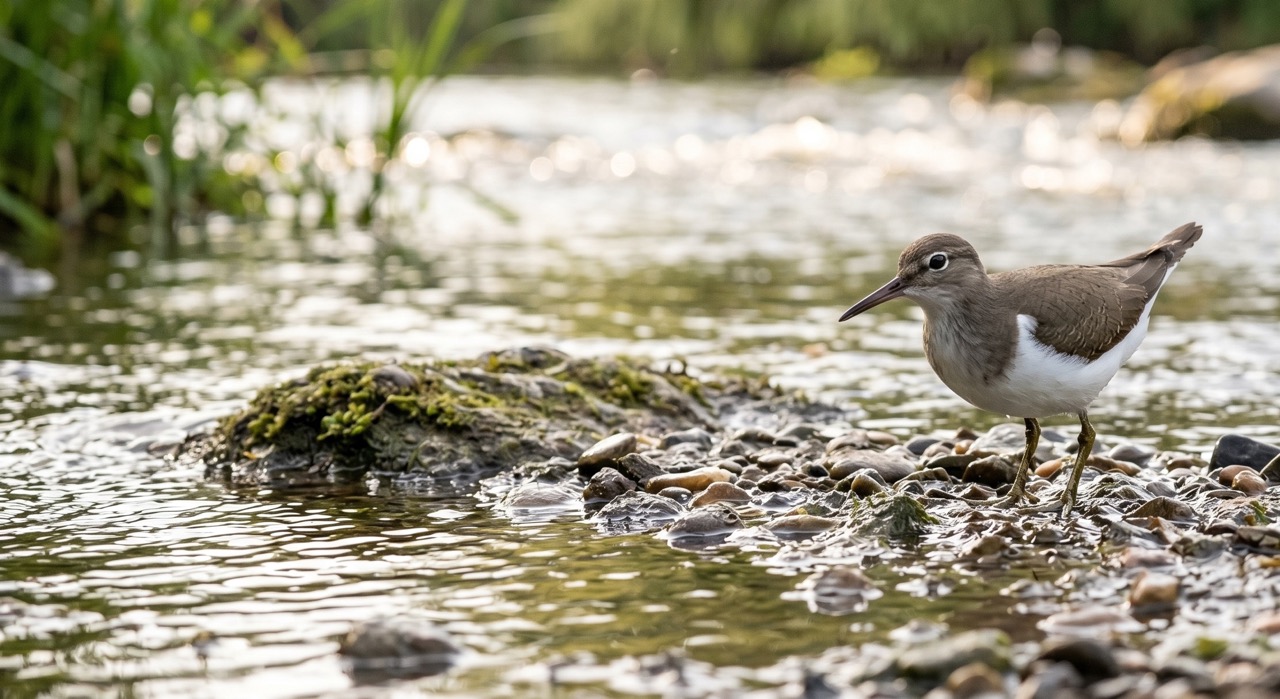
Common Sandpiper
marine-life
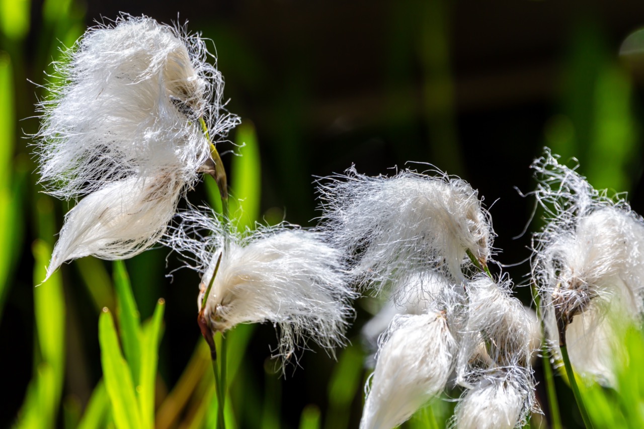
Cotton Grass
plant
 Peak season
Moorland Fungi
fungi
Recent sightings on this walk
Real sightings submitted by walkers on this route

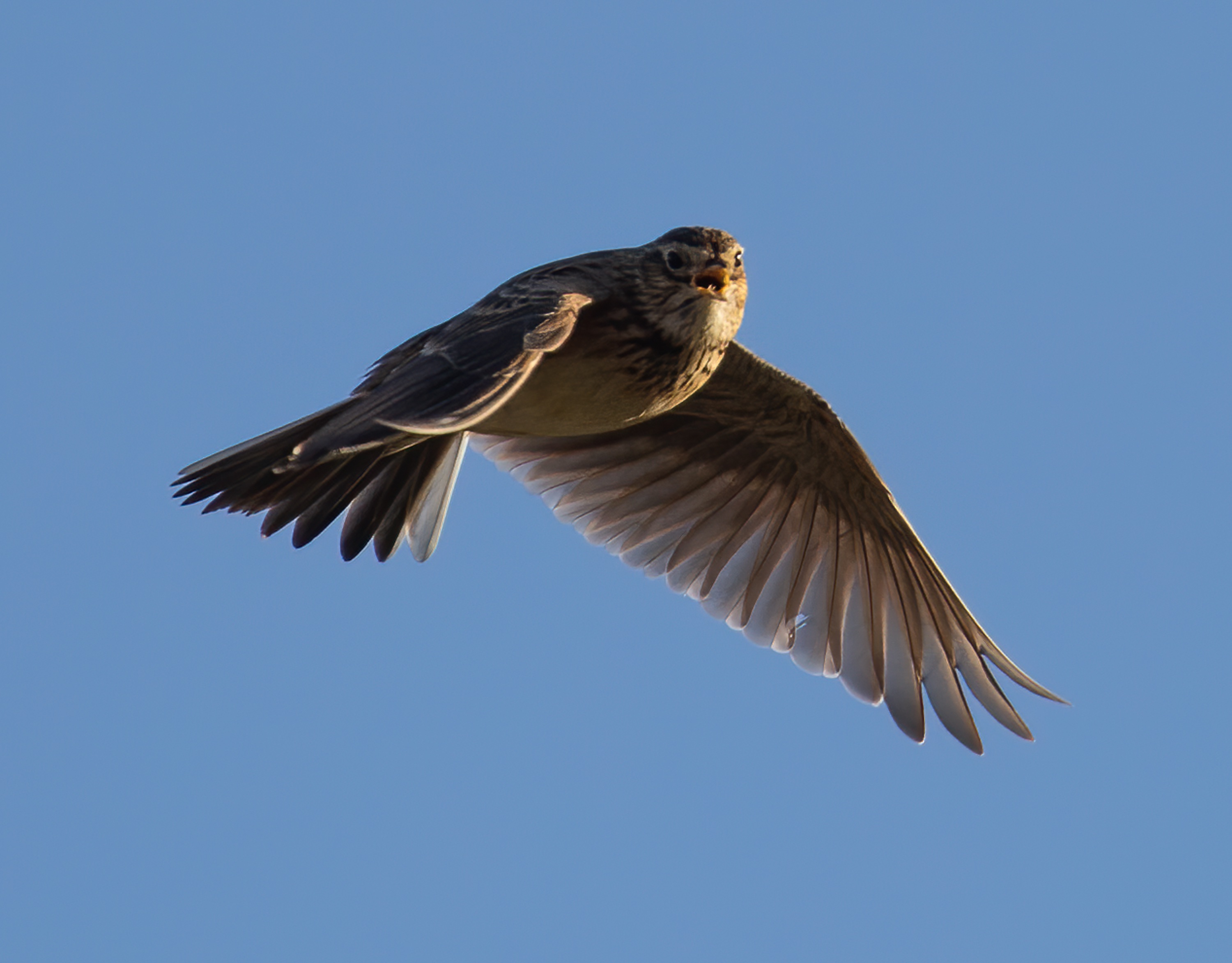

History along the route

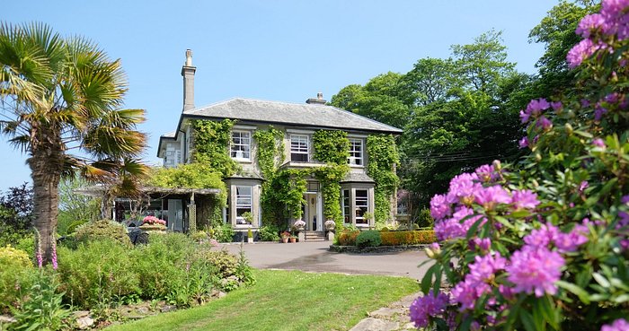
Stay nearby
Browse all →Accommodation close to this walk
Walk information is based on direct experience and local knowledge. Conditions on the moor can change — always use your own judgement.
More walks to explore
All walks
Buckfast Abbey Riverside Walk
A gentle riverside walk from Buckfast Abbey along the River Dart with woodland, wildlife and peaceful views.

Fingle Bridge Woodland Walk
A peaceful Teign Gorge walk through ancient woodland, river bends and one of Dartmoor’s quieter corners.
Grimspound Bronze Age Settlement Loop
Walk through a 3,000-year-old settlement in Dartmoor's wild heart.