

Dartmoor
Fingle Bridge Woodland Walk
A peaceful Teign Gorge walk through ancient woodland, river bends and one of Dartmoor’s quieter corners.
3moors Verified
This route has been reviewed and prepared by 3moors using mapping, terrain analysis, local knowledge and editorial review.
About this walk
What to Look Out For
- Dippers and wagtails along the river
- Moss-covered boulders and twisted tree roots
- Bluebells in spring (in some sections)
- Fungi in autumn after rain
It’s a quieter kind of wildlife spotting — more about noticing than chasing.
Who this walk is for
Who this walk is for
- ✔Walkers
The Experience
Unlike the tors and wide skies of Dartmoor’s high ground, Fingle Bridge sits within the Teign Gorge, one of the most beautiful wooded valleys in the South West.
- Ancient woodland clings to steep valley sides
- The river winds below, never far from earshot
- Moss, lichen and damp stone create a constantly changing texture
It’s a place that rewards slowing down rather than pushing on.
Elevation Profile
Illustrative profileRoute Summary
- Start at Fingle Bridge car park
- Cross the bridge and follow the riverside path
- Continue through woodland alongside the River Teign
- Optional climb up towards Castle Drogo for views
- Return via the same path or make a loop if confident
You can keep it short and gentle, or extend it into a longer circular walk.
Landscape & History
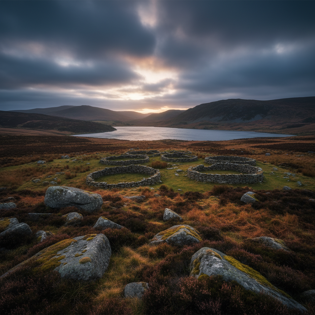
The Teign Gorge has long been a crossing and settlement landscape, with old woodland and estate history shaping the valley.
Safety & Conditions
Weather
Check the forecast before setting out. Wind, rain or low cloud can quickly change route character.
Navigation
Straightforward in good visibility on most routes, but open moor, coast or downland sections need attention.
Livestock & Wildlife
Livestock may be present on some paths and in adjoining fields; keep dogs under close control.
Footwear
Walking shoes or boots are recommended due to stony and uneven sections.
Variations
Shorten to an out-and-back beside the river, or extend onto higher ground for broader views.
Access & Parking
Public paths and tracks vary in surface quality. Take extra care after rain and expect some uneven ground.
3moors Community
Recent conditions or questions about this walk?
Join the 3moors Community to ask about path conditions, parking, wildlife sightings and local tips.
Join the 3moors CommunityDiscussion takes place in our Facebook community.
Join the 3moors Community for path conditions & local tips.
JoinWeather near Fingle Bridge
Weather forecast temporarily unavailable. Check back shortly.
Wildlife you might see
Common sightings along this route — based on habitat and recent reports
 Peak season
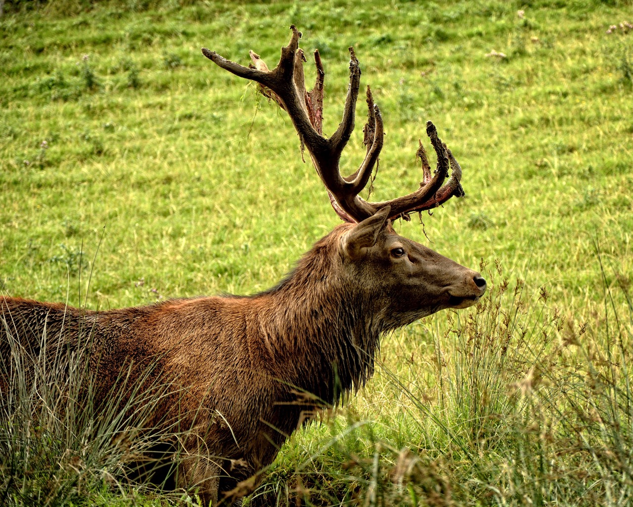
Red Deer
mammal
 Season approaching
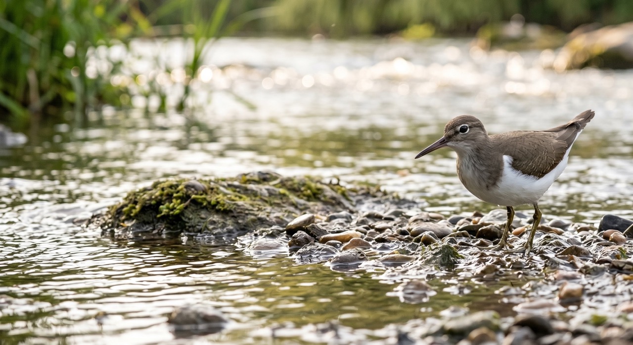
Common Sandpiper
marine-life
 Peak season
Common Buzzard
bird
 Season approaching
Bilberry
plant
 Peak season
Moorland Fungi
fungi
Recent sightings on this walk
Real sightings submitted by walkers on this route



History along the route

Stay nearby
Browse all →Accommodation close to this walk

Featured and Promoted listings are paid placements. Organic results are ordered by proximity.
Walk information is based on direct experience and local knowledge. Conditions on the moor can change — always use your own judgement.
More walks to explore
All walks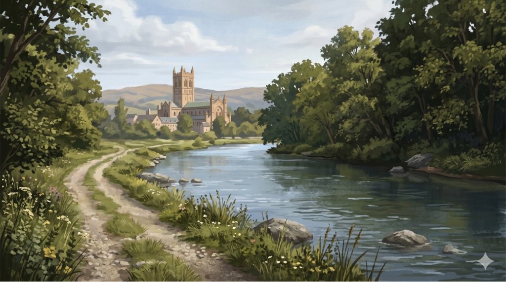
Buckfast Abbey Riverside Walk
A gentle riverside walk from Buckfast Abbey along the River Dart with woodland, wildlife and peaceful views.
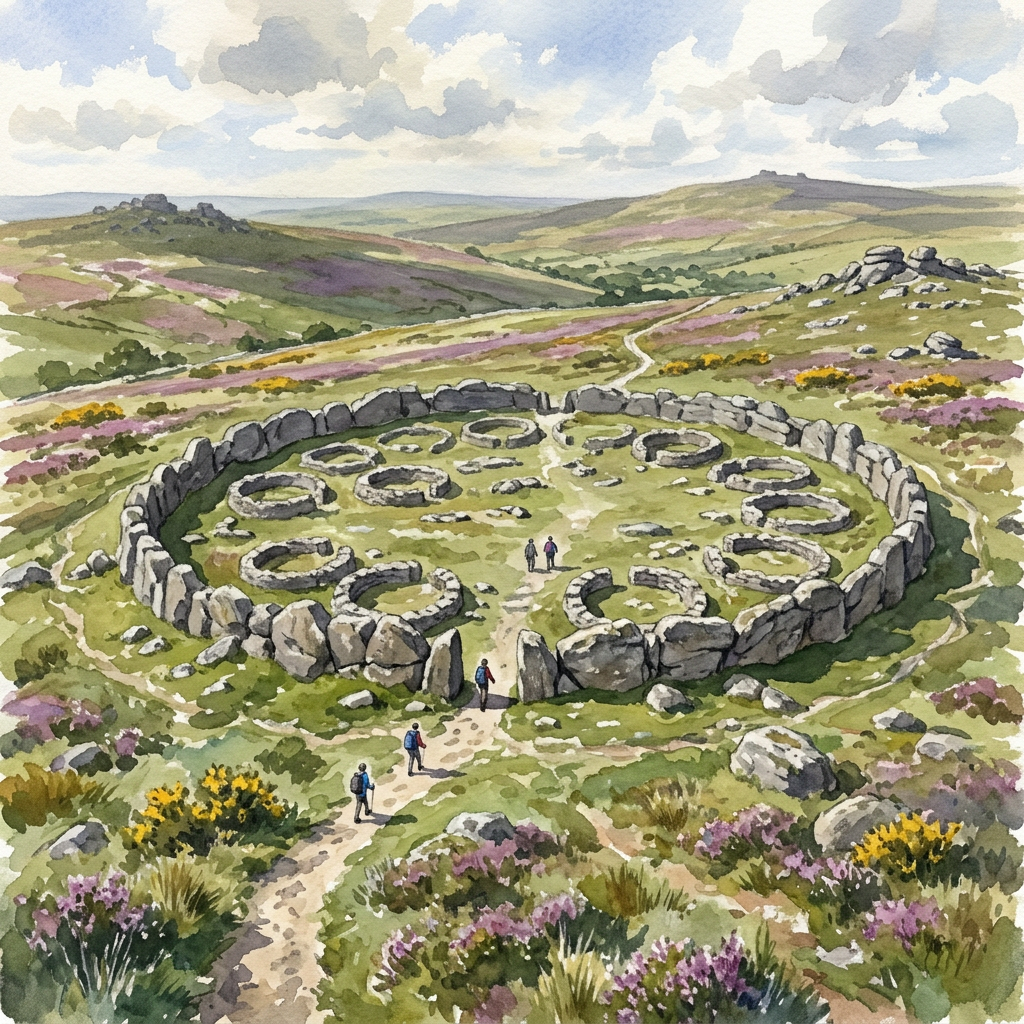
Grimspound Bronze Age Settlement Loop
Walk through a 3,000-year-old settlement in Dartmoor's wild heart.
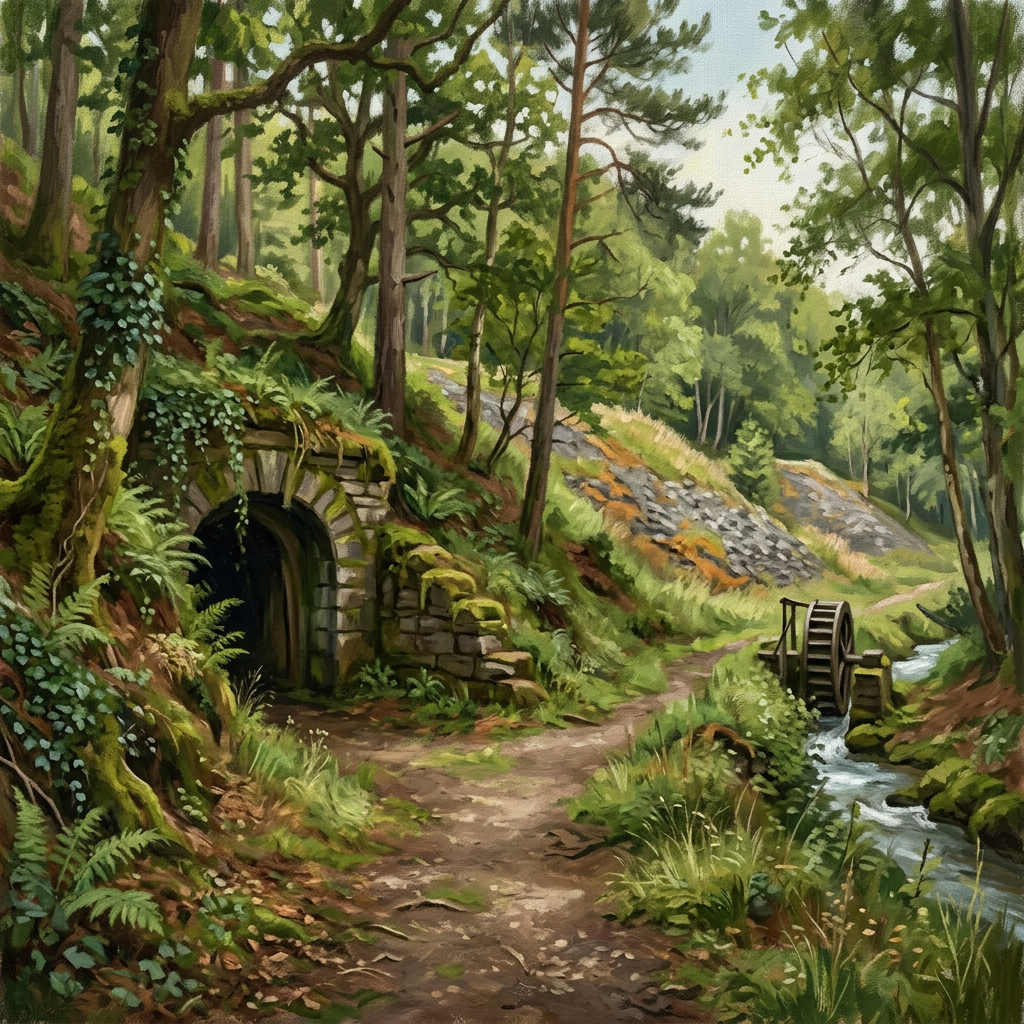
Tamar Trails — Morwellham Quay Walk
A scenic 8.2 km walk from Tamar Trails to Morwellham Quay, exploring Devon Great Consols, woodland tracks and the historic Tavistock Canal port.