
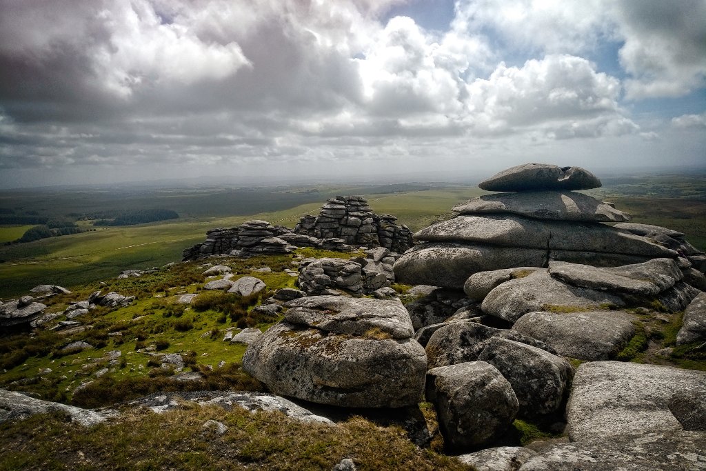
Challenging Walks
Long routes, serious ascent and genuine remote moorland — for walkers who want the full experience.
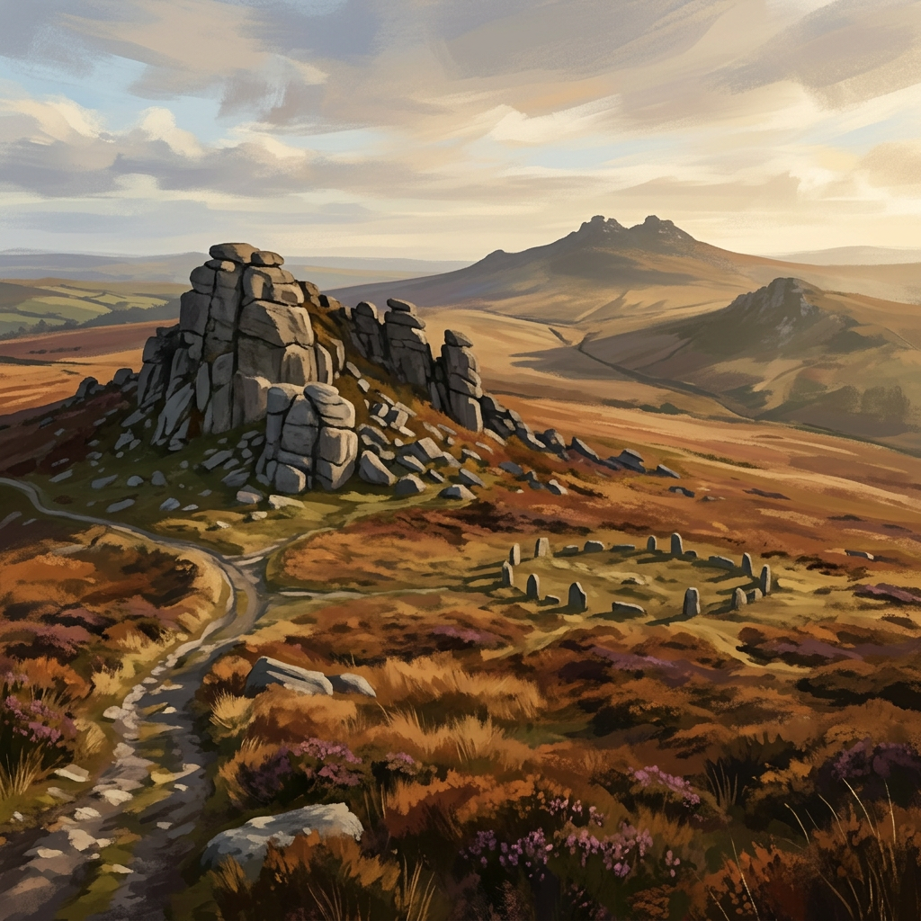
The three South West moors offer some of the most demanding day walking in England. Not because of extreme altitude — none exceed 621m — but because of the combination of distance, boggy terrain, exposure to Atlantic weather, and genuine remoteness.
These are routes where navigation matters, where the weather forecast should be checked and not ignored, and where the effort is a significant part of what makes them worthwhile. They deliver a quality of wildness and solitude that shorter, easier routes can't replicate.
Most require full walking kit: map, compass, waterproofs, adequate food and water. Several cross ground with no mobile signal for extended periods.
Who this page is for
- Experienced walkers who want genuine challenge rather than a managed visitor experience
- People building towards longer routes like the Two Moors Way or the South West Coast Path
- Walkers comfortable with off-path navigation and happy in poor weather
- Anyone who finds moderate routes too straightforward and wants to properly earn the views
9 walks to explore



About this area
The most challenging Dartmoor walking is on the high central plateau north of Princetown and around the northern tors. On Exmoor, the longest and most demanding routes combine the coast path with the inland moor. Bodmin's challenges are subtler — featureless terrain and poor visibility are the main hazards on its relatively modest plateau.
Safety on this terrain
Do not underestimate these routes. Check weather forecasts the night before and on the morning of the walk. Carry a full set of waterproofs, extra food, emergency shelter and a charged phone. Leave a note of your route with someone not on the walk. Know how to use a map and compass — GPS fails and batteries die.
When to go
Spring (Apr–May)
Ground still wet and boggy in places. Rivers high. Good visibility but changeable weather.
Summer (Jun–Aug)
Best conditions for high-moor routes. Longer days mean more margin. Still check for afternoon thunderstorms on exposed ground.
Autumn (Sep–Oct)
Ideal conditions: firm ground, clear air, long views. The best challenging walking of the year.
Winter (Nov–Mar)
For experienced winter walkers only. Daylight is short — plan carefully. Some routes are impassable after prolonged rain.
Plan your visit
Use the interactive map to explore routes, check conditions, and plan your day across all three moors.
Open the map