

Dartmoor
Princetown — Swincombe Deserted Village Loop
A challenging Dartmoor loop from Princetown to the Swincombe Valley, taking in Whiteworks, Nun's Cross and the edge of Foxtor Mire. Remote, historic and navigation-heavy.
3moors Verified
This route has been reviewed and prepared by 3moors using mapping, terrain analysis, local knowledge and editorial review.
About this walk
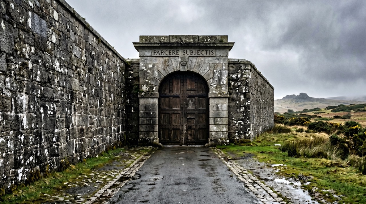
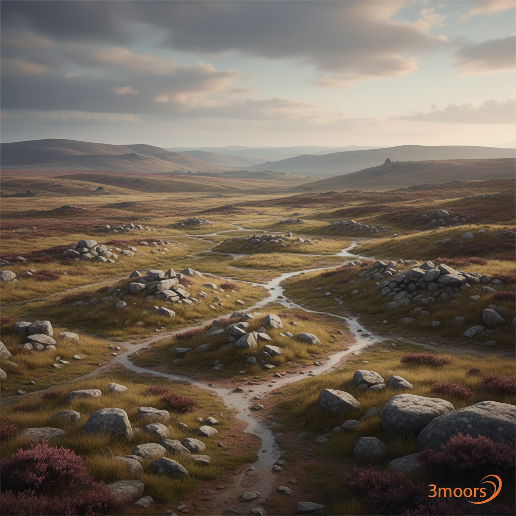
This is Dartmoor at its most raw. Leaving Princetown, the prison skyline fades behind you as the ground opens into wide, exposed moor. Old tracks lead towards Whiteworks, where the remains of the tin industry still sit quietly against the landscape. From there, the route skirts the edge of Foxtor Mire, a place as dangerous as its reputation suggests, before reaching the lonely granite marker of Nun's Cross on the Abbots' Way. Then comes the Swincombe. The valley feels untouched, a place where abandoned longhouses and low walls sit quietly on the slopes above the river. It's not dramatic in the usual sense, but it has a presence that stays with you. The return pulls you back across open ground, following old leats and tracks towards South Hessary before dropping back into Princetown.
Who this walk is for
Who this walk is for
- ✔Experienced moorland walkers with navigation skills
- ✔Those drawn to archaeology and deserted landscapes
- ✔Full-day commitment walkers
- ✔Dogs welcome (experienced handlers only)
- ✖Not suitable for beginners or poor-visibility conditions
- ✖Foxtor Mire is genuinely dangerous — never cross directly
The Experience
- Effort: Big moorland day with rough ground
- Highlight: Swincombe valley + deserted village
- Experience: Remote, historic, atmospheric
- Key risk: Foxtor Mire and navigation in poor visibility
Elevation Profile
Illustrative profileRoute Summary
Start in Princetown. Head out towards South Hessary Tor. Continue to Whiteworks tin ruins. Contour around Foxtor Mire (stay on firm ground). Pass Childe's Tomb (optional spur). Join Abbots' Way at Nun's Cross. Descend into Swincombe Valley. Explore deserted village and clapper bridge. Follow leats and tracks north-west. Return via South Hessary to Princetown.
Landscape & History
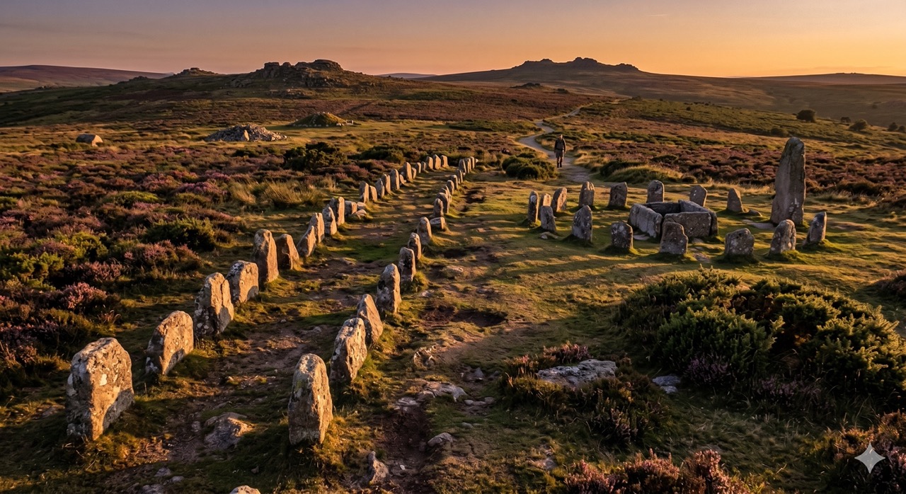
The Swincombe Valley contains one of Dartmoor's more evocative deserted medieval settlements — abandoned longhouses, enclosure walls and building platforms visible on the valley slopes above the river. The settlement was likely occupied from the medieval period and abandoned gradually as the climate deteriorated and the economy shifted.
Nun's Cross (also called Siward's Cross) is one of Dartmoor's finest ancient waymarkers — a tall granite cross standing on the Abbots' Way, the historic route used by monks travelling between Buckfast Abbey and Tavistock. It stands alone on open moorland and is mentioned in perambulation records from 1240.
Foxtor Mire is one of Dartmoor's most notorious bogs — a large, active mire in the headwaters of the West Dart. It has a strong claim to being the inspiration for the Great Grimpen Mire in Arthur Conan Doyle's 'The Hound of the Baskervilles'. It is genuinely dangerous and should never be crossed.
Whiteworks was a tin mining complex operating from the early 19th century, one of the later industrial workings on the moor. The remains — leats, spoil heaps and building foundations — are still clearly visible against the landscape.
Childe's Tomb, an optional detour, is a Bronze Age burial mound reused in the medieval period and associated with a well-known Dartmoor legend.
Safety & Conditions
Weather
Fully exposed moorland — weather can change rapidly. In poor visibility, mist navigation is essential. Shorten to Nun's Cross out-and-back in bad conditions.
Navigation
Sparse waymarking throughout. OS Explorer OL28 and map/compass or GPX essential. Key hazard: Foxtor Mire — never cross directly, always contour on higher firm ground.
Livestock & Wildlife
Dartmoor ponies and livestock throughout. Keep dogs under control. Lambing season — dogs on leads in spring in grazed areas.
Footwear
Waterproof boots essential. Wet, boggy and uneven terrain throughout. Clitter (loose boulder fields) underfoot in places.
Variations
Short (9–10 km): Nun's Cross out-and-back from Princetown. Extend: Explore further down Swincombe Valley. Add-on: Childe's Tomb detour (clear conditions only).
Access & Parking
Start and finish in Princetown. Pay and display parking in the village. Full facilities — toilets, cafés, shops. Bus links available from Yelverton and Tavistock.
3moors Community
Recent conditions or questions about this walk?
Join the 3moors Community to ask about path conditions, parking, wildlife sightings and local tips.
Join the 3moors CommunityDiscussion takes place in our Facebook community.
Join the 3moors Community for path conditions & local tips.
JoinWeather near Princetown
Overcast
Today
Met Office forecast · updated every 30 min
Wildlife you might see
Common sightings along this route — based on habitat and recent reports
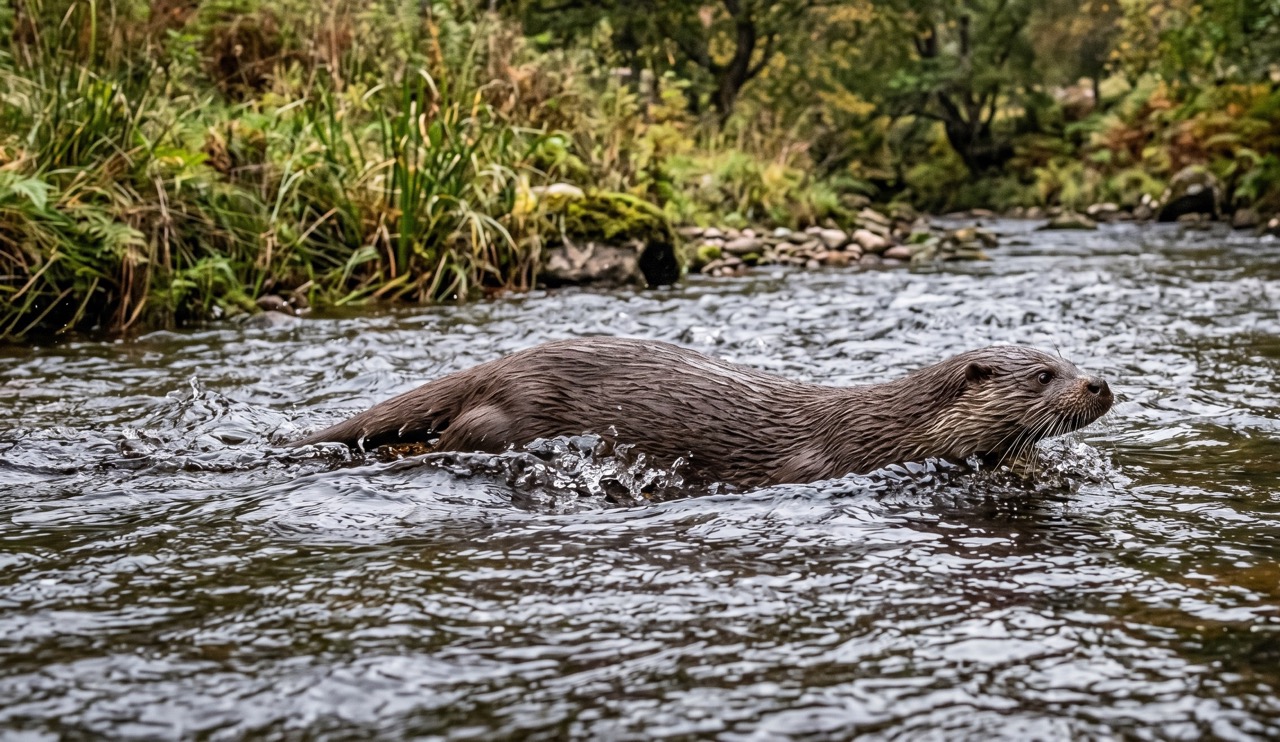 Peak season
Otter
mammal
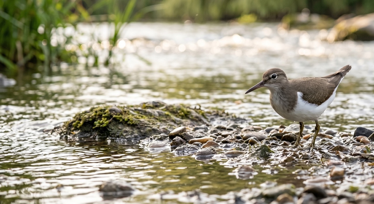 Season approaching
Common Sandpiper
marine-life
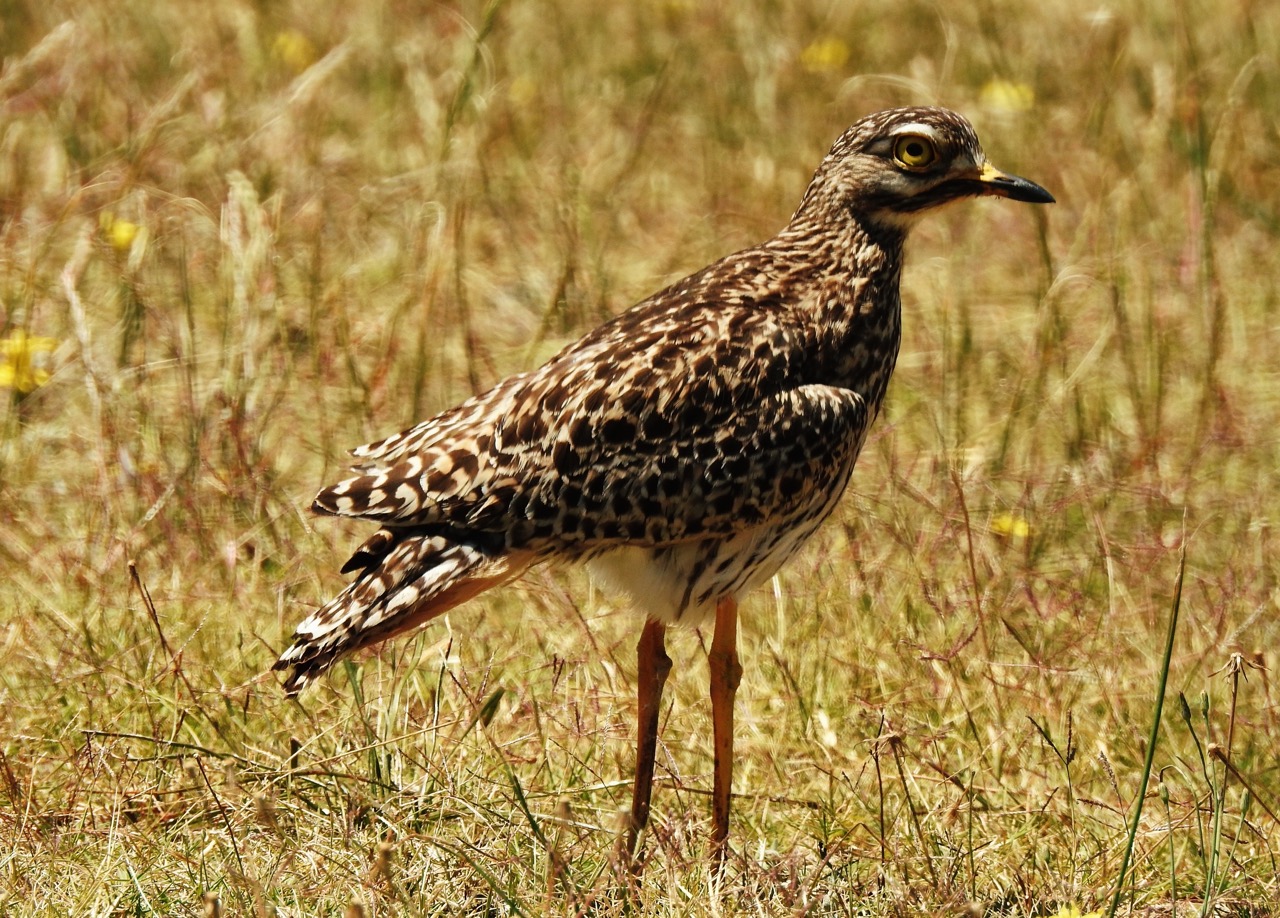
Curlew
bird
 Season approaching
Bilberry
plant
 Peak season
Moorland Fungi
fungi
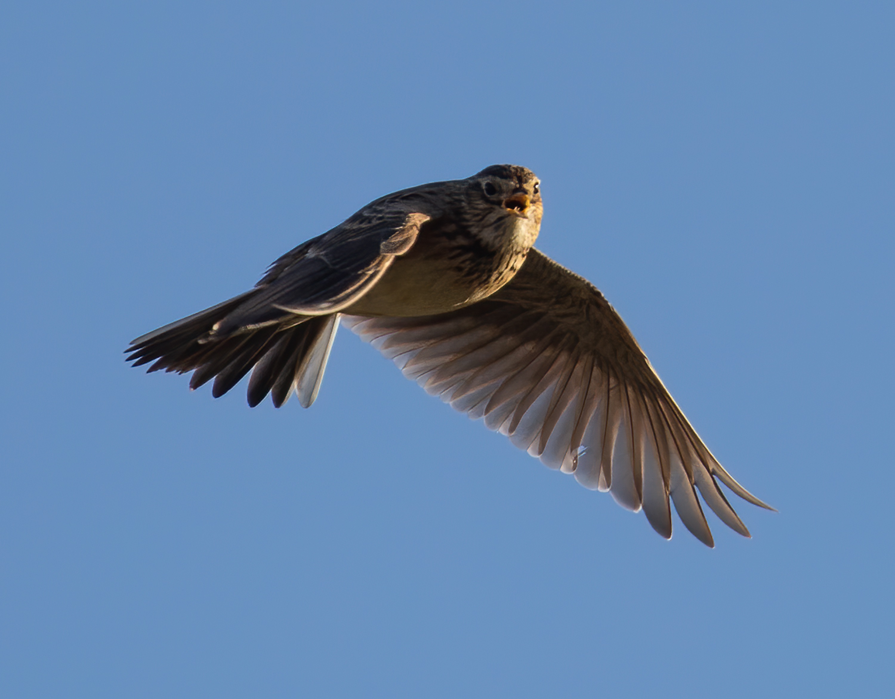
Recent sightings on this walk
Real sightings submitted by walkers on this route

History along the route
Walk information is based on direct experience and local knowledge. Conditions on the moor can change — always use your own judgement.
More walks to explore
All walks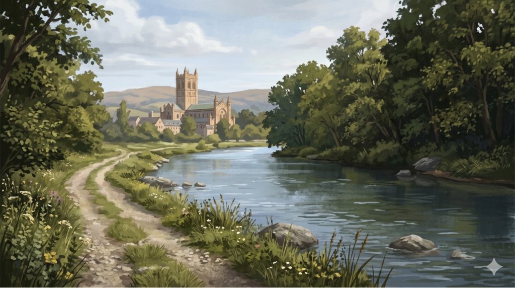
Buckfast Abbey Riverside Walk
A gentle riverside walk from Buckfast Abbey along the River Dart with woodland, wildlife and peaceful views.
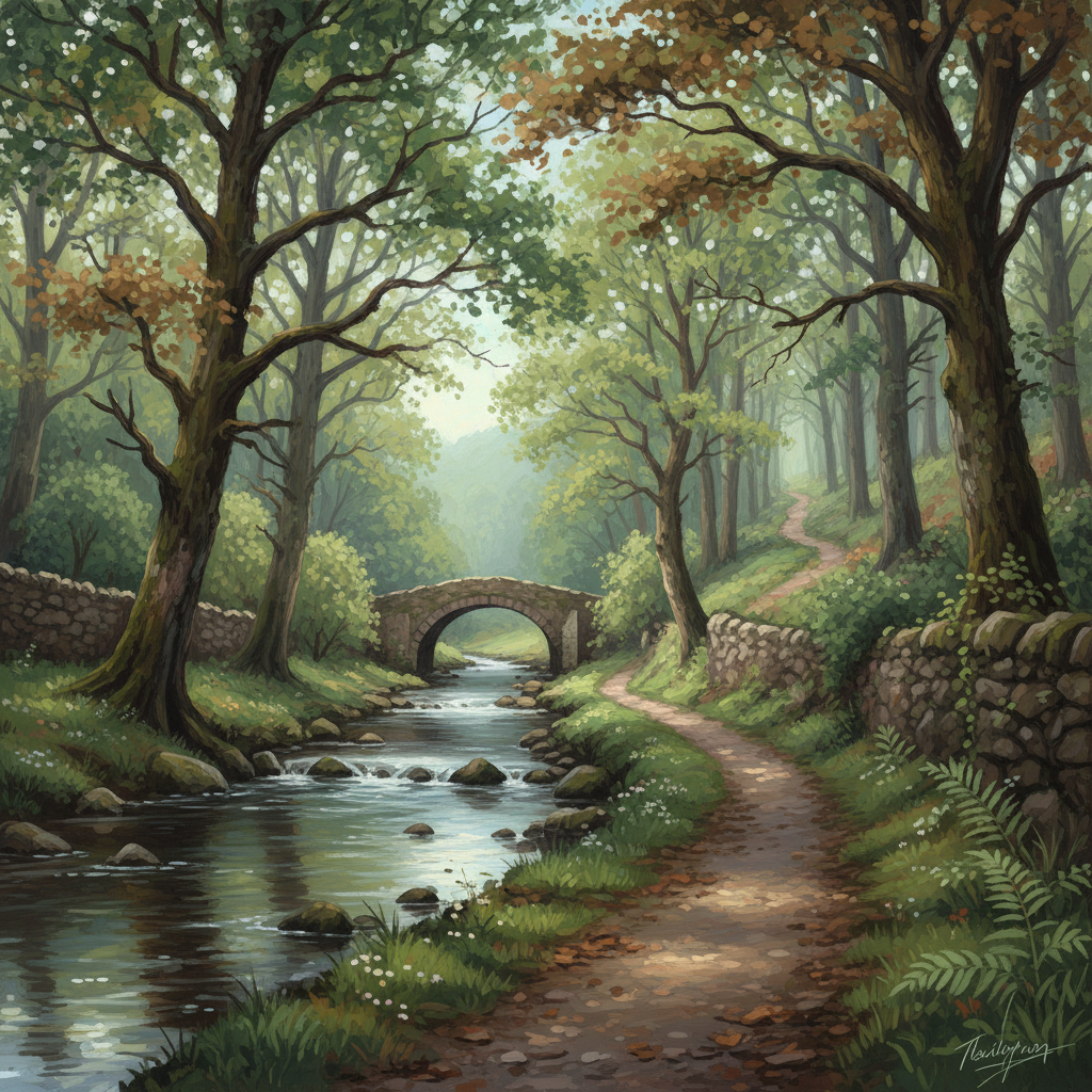
Fingle Bridge Woodland Walk
A peaceful Teign Gorge walk through ancient woodland, river bends and one of Dartmoor’s quieter corners.
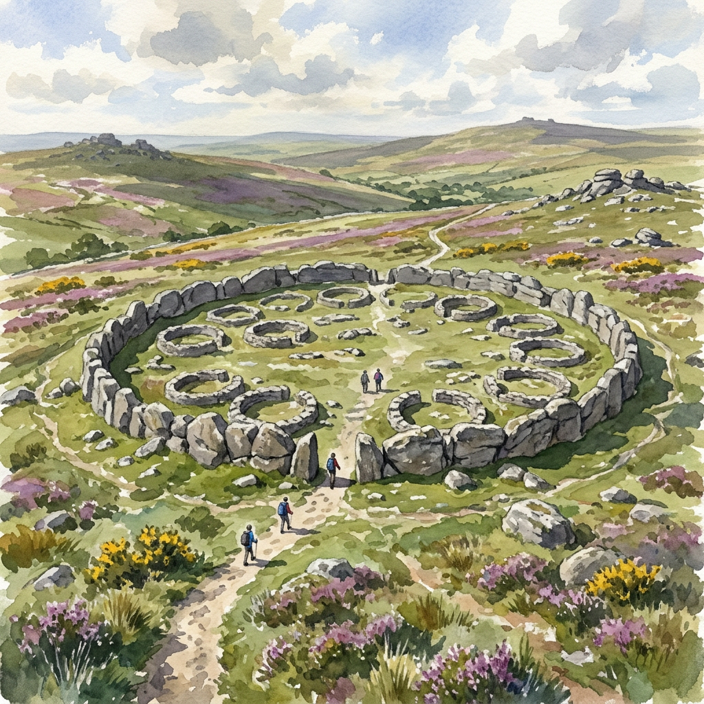
Grimspound Bronze Age Settlement Loop
Walk through a 3,000-year-old settlement in Dartmoor's wild heart.