
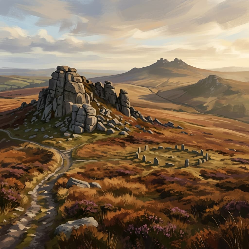
Bodmin Moor: Stone Circles and Historic Sites
Cornwall's upland plateau holds some of the most significant Bronze Age monuments in Britain.
Bodmin Moor is the most archaeologically rich landscape in the South West. The moorland was heavily settled during the Bronze Age, and the monument density is extraordinary — stone circles, standing stones, cairns, hut circles and field systems survive across the entire plateau.
The Hurlers on Bodmin Moor are among the finest stone circles in England — three concentric rings on the open moor above Minions, placed with a precision that still isn't fully understood. The Trethevy Quoit, a Neolithic chambered tomb near St Cleer, is one of the best-preserved megalithic structures in Cornwall.
Walking to these sites on foot, across the same moorland paths the Bronze Age people used, gives them a context that a roadside visit completely misses.
Who this page is for
- People interested in prehistory and Bronze Age archaeology who want to see monuments in their landscape rather than behind museum glass
- Walkers combining a moorland day with historical interest — these routes work as both archaeology visits and genuine walking routes
- Anyone who's visited Stonehenge or Avebury and wants to understand the broader Bronze Age landscape of the South West
- History enthusiasts, teachers, and anyone with an interest in Cornwall's distinct identity and ancient past
15 walks to explore




About this area
Bodmin Moor is smaller than Dartmoor or Exmoor but its archaeology is denser. Brown Willy (420m) is Cornwall's highest point. The village of Minions, on the southeastern edge of the moor, is the best base for archaeology-focused walking. The moor was cleared and farmed intensively during the Bronze Age when the climate was warmer — the collapse of Bronze Age farming left the monuments standing, preserved by a landscape that hasn't been ploughed since.
Safety on this terrain
Bodmin Moor's plateau is open and exposed, and mist can roll in quickly. The landscape is more featureless than Dartmoor's distinctive tors, making navigation harder in poor visibility. Carry a map with the monument locations marked — OS Explorer 109 covers the whole moor. Some monuments are on private land; stick to public paths or open access land.
When to go
Spring (Apr–May)
Moorland flowers and clear visibility. The open plateau can be cold — pack layers even in May.
Summer (Jun–Aug)
Long days and generally dry. The Minions area can be busy; head north for quieter sites.
Autumn (Sep–Oct)
Incredible light on the standing stones in low afternoon sun. Quiet, with excellent views across the moor.
Winter (Nov–Mar)
The moor is often mist-covered in winter, which gives the ancient sites an atmospheric quality. Navigation map essential.
Plan your visit
Use the interactive map to explore routes, check conditions, and plan your day across all three moors.
Open the map