

Dartmoor
Brent Tor Church
A heritage walk taking in the dramatic church perched on volcanic rock.
3moors Verified
This route has been reviewed and prepared by 3moors using mapping, terrain analysis, local knowledge and editorial review.
About this walk
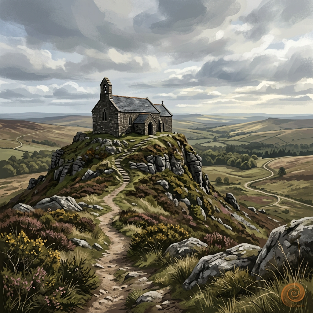
The Brentor Church walk is a short but memorable route centred around one of Devon’s most dramatic landmarks, the tiny church of St Michael de Rupe perched high on a volcanic outcrop above the village of Brentor.
This compact circular links the church, quiet village lanes and surrounding footpaths, offering wide views across West Devon and towards Dartmoor. Though not long, the climb to the church is steep in places and can feel exposed in strong winds, but the reward is immediate: panoramic views, a fascinating sense of history, and one of the most photogenic spots in the region.
St Michael de Rupe, meaning “St Michael of the Rock”, dates back to the 13th century and sits atop what is believed to be the remains of an ancient volcano. The church has long been a beacon for travellers, and local legend says it was built after sailors mistook the hilltop for a guiding light.
This is a brilliant “big reward for small effort” walk. Perfect for families, photographers, history lovers, or anyone wanting a quick but unforgettable outing close to Tavistock and the western edge of Dartmoor.
The Experience
A short, steep and rewarding circular around Brentor’s famous hilltop church. Expect a quick climb, incredible views, ancient history and plenty of photo opportunities. Ideal when time is short or as part of a wider day exploring West Devon.
Elevation Profile
Illustrative profileRoute Summary
One of Devon’s most iconic churches
Huge views for relatively little distance
Rich folklore and history
Excellent for photography, especially sunrise or sunset
Close to Tavistock and easy to combine with nearby attractions
Landscape & History
Brentor rises sharply from the surrounding farmland as a volcanic plug, making it a natural lookout point. The church can be seen from miles around and has become one of West Devon’s defining landmarks.
The area around Brentor mixes open pasture, hedged lanes and classic Devon countryside, with Dartmoor’s western ridges visible in the distance. In spring and summer the surrounding fields can be alive with birdsong, while autumn often brings dramatic skies and low mist around the hill.
Safety & Conditions
Weather
Strong wind and heavy rain are the main concerns, especially on exposed coast, higher ground and slippery steps or descents.
Navigation
This is mostly an easy walk, but the path up to the church is steep and uneven in places.
Expect:
- steps and short steep climbs
- grassy and sometimes muddy paths
- gates and possible livestock in fields
- exposed conditions near the summit
Good footwear is recommended, especially after rain.
Livestock & Wildlife
Livestock are not usually a major issue on the main line, but keep dogs under control if grazing animals are present in adjoining fields.
Footwear
Sturdy walking shoes are enough for most people, with waterproof footwear useful after rain or on rougher site paths.
Variations
There is usually scope to make this a shorter or longer outing depending on time, weather and ground conditions.
Access & Parking
Some uneven ground and gradients should be expected, especially after rain, but there are no technical sections in normal conditions.
3moors Community
Recent conditions or questions about this walk?
Join the 3moors Community to ask about path conditions, parking, wildlife sightings and local tips.
Join the 3moors CommunityDiscussion takes place in our Facebook community.
Join the 3moors Community for path conditions & local tips.
JoinWeather near Brentor church parking area
Weather forecast temporarily unavailable. Check back shortly.
Wildlife you might see
Common sightings along this route — based on habitat and recent reports
 Peak season
Kestrel
bird

Fox
mammal
 Peak season
Moorland Fungi
fungi
 Season approaching
Adder
reptile
 Season approaching
Bilberry
plant
Recent sightings on this walk
Real sightings submitted by walkers on this route


History along the route

Stay nearby
Browse all →Accommodation close to this walk
Walk information is based on direct experience and local knowledge. Conditions on the moor can change — always use your own judgement.
More walks to explore
All walks
Buckfast Abbey Riverside Walk
A gentle riverside walk from Buckfast Abbey along the River Dart with woodland, wildlife and peaceful views.
Fingle Bridge Woodland Walk
A peaceful Teign Gorge walk through ancient woodland, river bends and one of Dartmoor’s quieter corners.
Grimspound Bronze Age Settlement Loop
Walk through a 3,000-year-old settlement in Dartmoor's wild heart.