

Dartmoor
Drizzlecombe Stone Rows
A heritage walk taking in one of Dartmoor’s most impressive prehistoric ritual landscapes.
3moors Verified
This route has been reviewed and prepared by 3moors using mapping, terrain analysis, local knowledge and editorial review.
About this walk
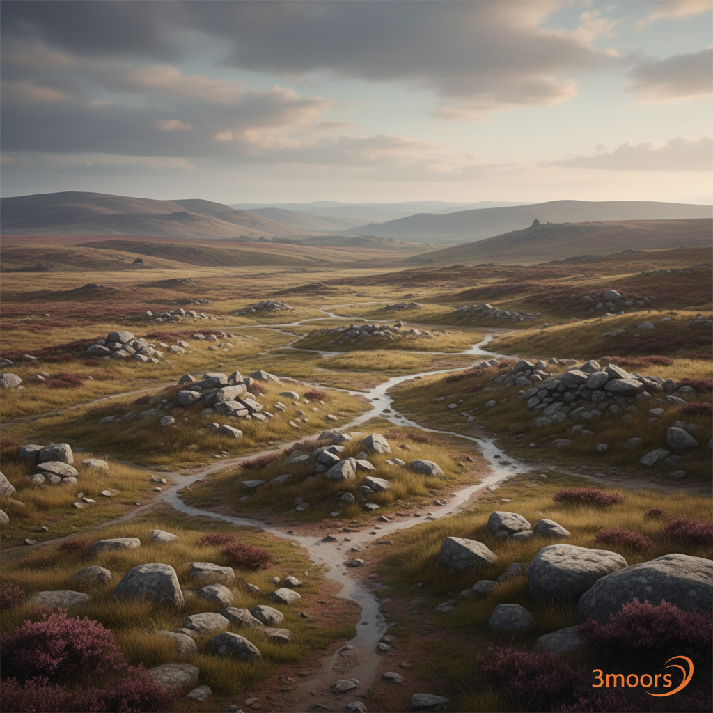
This is a classic Dartmoor archaeology walk with enough distance and height to feel properly immersive. The prehistoric remains are the headline, but the moorland approach is part of the experience. Drizzlecombe’s standing stones, cairns and long rows make this one of Dartmoor’s most evocative prehistoric sites, set high above the Plym valley.
The Experience
• Effort: Moderate • Highlight: one of Dartmoor’s most impressive prehistoric ritual landscapes • Best bit: the sense of place around Cadover Bridge • Watch for: boggy patches
Elevation Profile
Illustrative profileRoute Summary
A moorland-focused walk from Cadover Bridge following clear approach paths before striking out across rougher ground to the main archaeological features and back.
Landscape & History
Drizzlecombe’s standing stones, cairns and long rows make this one of Dartmoor’s most evocative prehistoric sites, set high above the Plym valley.
Drizzlecombe Stone Rows — Gallery
A few real views from the route
Safety & Conditions
Weather
Weather can change quickly on open moorland. Wind, rain and low cloud make the route feel far more serious than in fair conditions.
Navigation
A map and the confidence to use it are important here. In mist, the same open ground can look very different and features are easier to miss.
Livestock & Wildlife
Livestock, ponies or sheep may be present on parts of the route. Keep dogs under close control and give animals plenty of room.
Footwear
Wear proper walking shoes or boots with grip. Trainers are only comfortable here in the driest and easiest conditions.
Variations
Can be trimmed in poor conditions, but the full route is the better option if visibility is decent and the ground is dry enough.
Access & Parking
Expect rougher underfoot conditions, gates and uneven ground; this is not a route for wheels or anyone needing consistently firm surfaces.
3moors Community
Recent conditions or questions about this walk?
Join the 3moors Community to ask about path conditions, parking, wildlife sightings and local tips.
Join the 3moors CommunityDiscussion takes place in our Facebook community.
Join the 3moors Community for path conditions & local tips.
JoinWildlife you might see
Common sightings along this route — based on habitat and recent reports
 Peak season
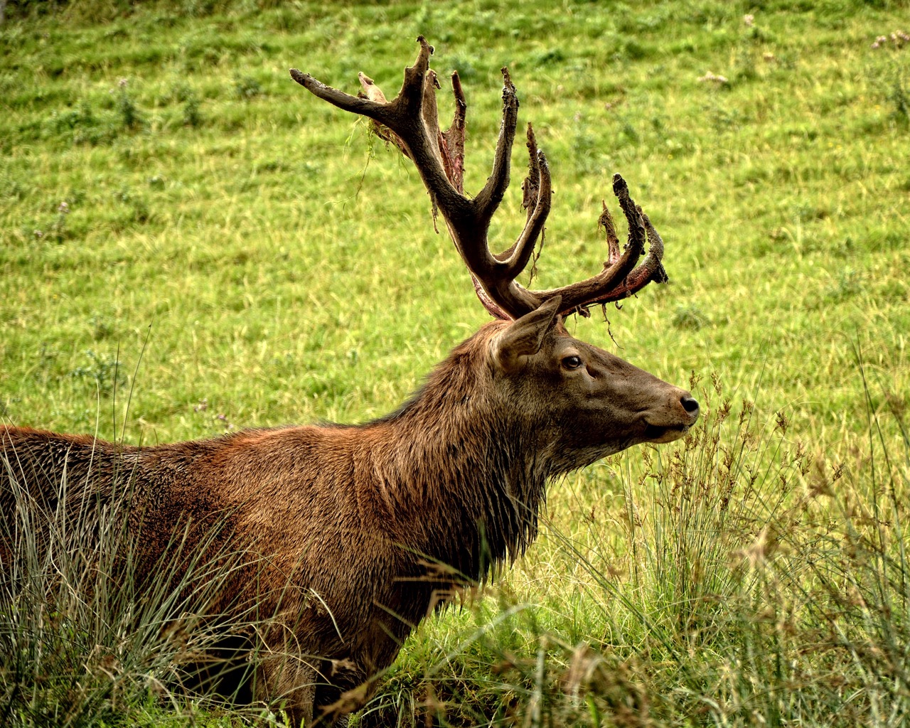
Red Deer
mammal
 Peak season
Common Buzzard
bird
 Season approaching
Bilberry
plant
 Peak season
Moorland Fungi
fungi
 Season approaching
Adder
reptile
Recent sightings on this walk
Real sightings submitted by walkers on this route


History along the route


Walk information is based on direct experience and local knowledge. Conditions on the moor can change — always use your own judgement.
More walks to explore
All walks
Buckfast Abbey Riverside Walk
A gentle riverside walk from Buckfast Abbey along the River Dart with woodland, wildlife and peaceful views.
Fingle Bridge Woodland Walk
A peaceful Teign Gorge walk through ancient woodland, river bends and one of Dartmoor’s quieter corners.
Grimspound Bronze Age Settlement Loop
Walk through a 3,000-year-old settlement in Dartmoor's wild heart.