Dartmoor
Haytor to Hound Tor – Gentle Loop
An easy-to-moderate Dartmoor loop from Haytor to Hound Tor, featuring granite tors, the historic tramway and a deserted medieval village.
3moors Verified
This route has been reviewed and prepared by 3moors using mapping, terrain analysis, local knowledge and editorial review.
About this walk
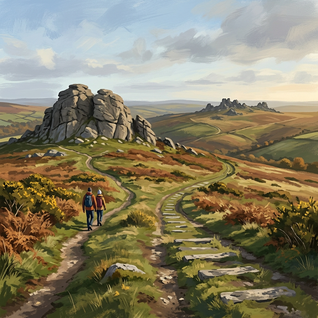
This is one of Dartmoor's most rewarding "low effort, high return" walks. From Haytor, the views open quickly — a wide sweep across the moor, the Teign Valley, and out towards the coast on a clear day. From there, the route rolls gently across open ground towards Hound Tor, one of the moor's most distinctive rock formations. The optional detour to the Deserted Medieval Village adds something special — a rare chance to walk through the remains of long-abandoned homes, still visible in the earth. It's a walk that blends landscape, history and accessibility — ideal for a first Dartmoor experience.
Who this walk is for
Who this walk is for
- ✔Beginners and first-time Dartmoor visitors
- ✔Families with children
- ✔History enthusiasts (medieval village)
- ✔Photography seekers
- ✔Dogs welcome (lead near livestock)
- ✖Those expecting challenging terrain — this is an easier route
- ✖Very young children near rocky tor scrambles — take care
The Experience
• Effort: Easy-going with short climbs • Highlight: Haytor views + Hound Tor village • Experience: Classic Dartmoor scenery with history • Best for: Beginners, families, and visitors
Elevation Profile
Illustrative profileRoute Summary
Start at Haytor Lower Car Park. Climb to Haytor Rocks (optional summit scramble). Descend west towards the Granite Tramway remains. Follow paths WNW across open moor. Reach Hound Tor (short rocky ascent). Optional detour to Deserted Medieval Village. Return SE via broad tracks below Haytor. Curve back to the car park.
Landscape & History
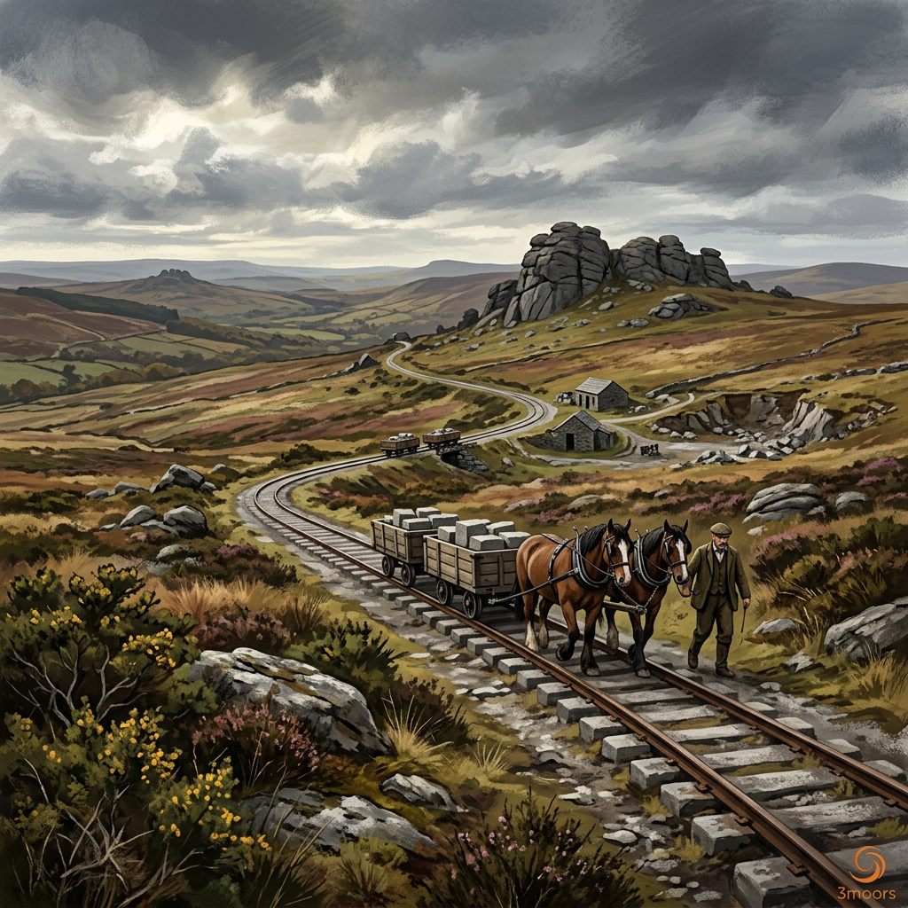
Haytor Rocks is one of Dartmoor's most famous and accessible viewpoints — a wide sweep across the moor, the Teign Valley and out towards the coast on clear days. The Granite Tramway nearby dates to the early 1800s, an early industrial railway that carried granite from the quarries to the canal at Teigngrace.
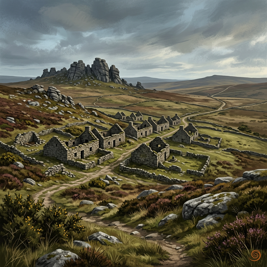
Hound Tor is one of the moor's most dramatic granite formations, with a distinctive chaotic silhouette. Just below it lies the Deserted Medieval Village — a rare and atmospheric site where the remains of long-abandoned stone homes are still clearly visible in the turf, offering a direct connection to Dartmoor's human past.
Photography: Sunrise looking west from Haytor is spectacular. Hound Tor catches strong evening light. The old tramway lines make excellent leading features in compositions.
Haytor to Hound Tor – Gentle Loop — Gallery
A few real views from the route
Safety & Conditions
Weather
Weather can change quickly on the moor — carry layers even in summer. The open ground between tors offers little shelter.
Navigation
Good paths throughout. Download maps before visiting — mobile signal is patchy. OS Explorer OL28 recommended.
Livestock & Wildlife
Keep dogs under control near livestock. Dartmoor ponies frequently present — do not feed or approach.
Footwear
Boots recommended. Ground can be boggy after rain. Rocky sections near tors — take care on wet granite.
Variations
Short version: Hound Tor and village only (~3 km). Extend: Add Greator Rocks and Smallacombe Rocks (+2–3 km). Family option: Focus on village exploration with a picnic stop.
Access & Parking
Start and finish at Haytor Lower Car Park (SX 757 770). Pay and display parking with seasonal toilets. Alternative parking at Hound Tor car park. Nearest facilities at Widecombe-in-the-Moor, Bovey Tracey or Ilsington.
3moors Community
Recent conditions or questions about this walk?
Join the 3moors Community to ask about path conditions, parking, wildlife sightings and local tips.
Join the 3moors CommunityDiscussion takes place in our Facebook community.
Join the 3moors Community for path conditions & local tips.
JoinWeather near Haytor Lower Car Park
Overcast
Today
Met Office forecast · updated every 30 min
Wildlife you might see
Common sightings along this route — based on habitat and recent reports

Curlew
bird
 Peak season
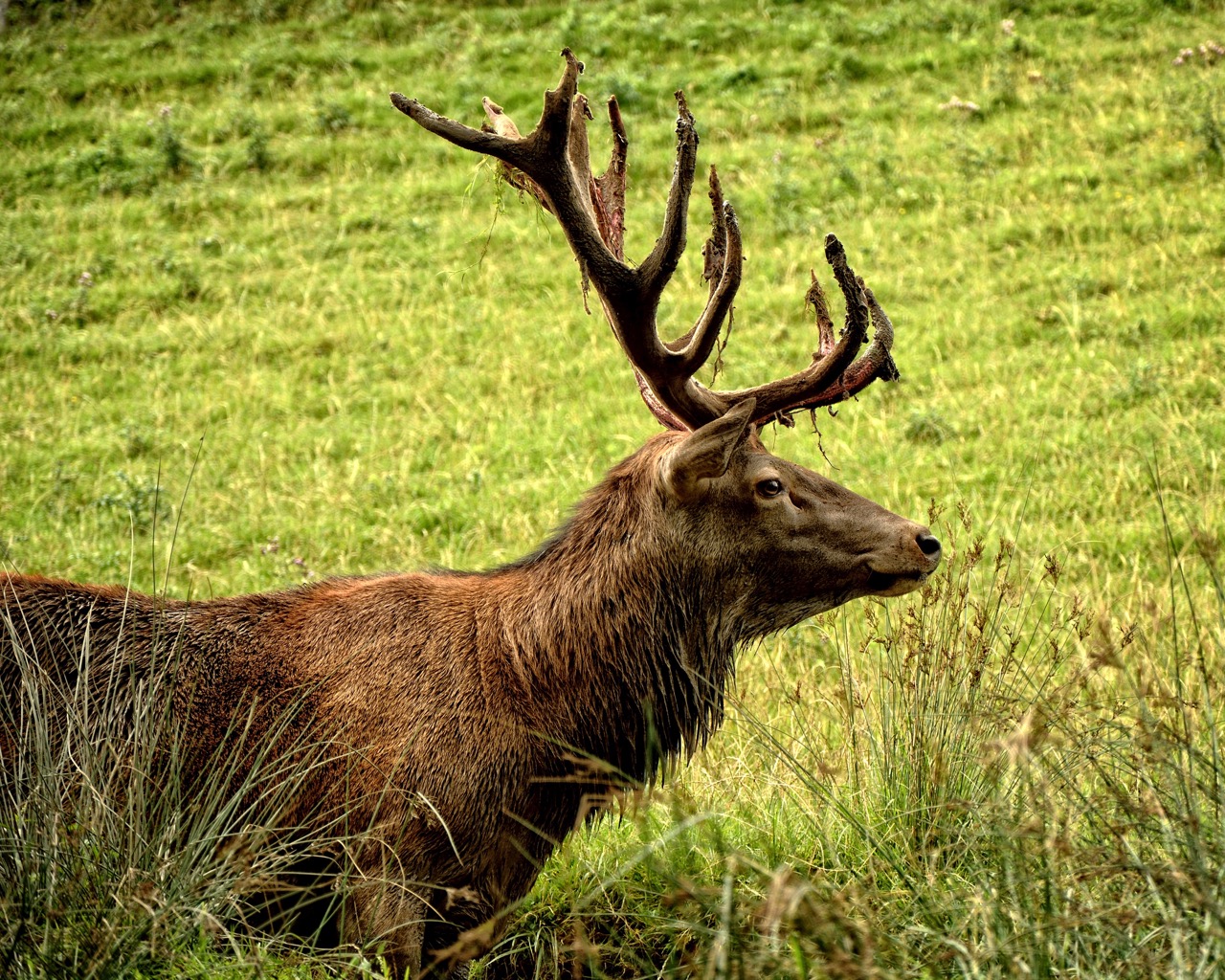
Red Deer
mammal
 Season approaching
Porbeagle Shark
marine-life

Bilberry
plant
 Peak season
Moorland Fungi
fungi
Recent sightings on this walk
Real sightings submitted by walkers on this route



History along the route
Stay nearby
Browse all →Accommodation close to this walk

Featured and Promoted listings are paid placements. Organic results are ordered by proximity.
Walk information is based on direct experience and local knowledge. Conditions on the moor can change — always use your own judgement.
More walks to explore
All walks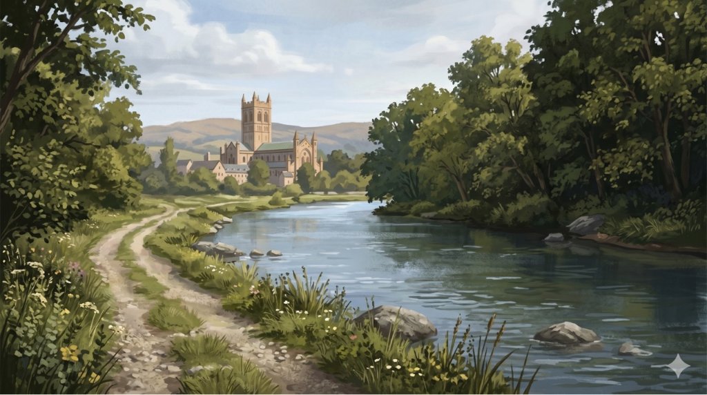
Buckfast Abbey Riverside Walk
A gentle riverside walk from Buckfast Abbey along the River Dart with woodland, wildlife and peaceful views.
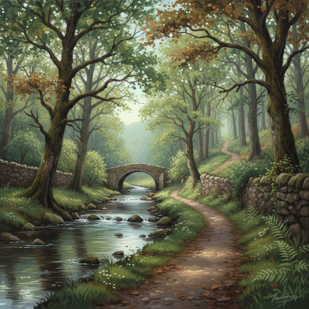
Fingle Bridge Woodland Walk
A peaceful Teign Gorge walk through ancient woodland, river bends and one of Dartmoor’s quieter corners.
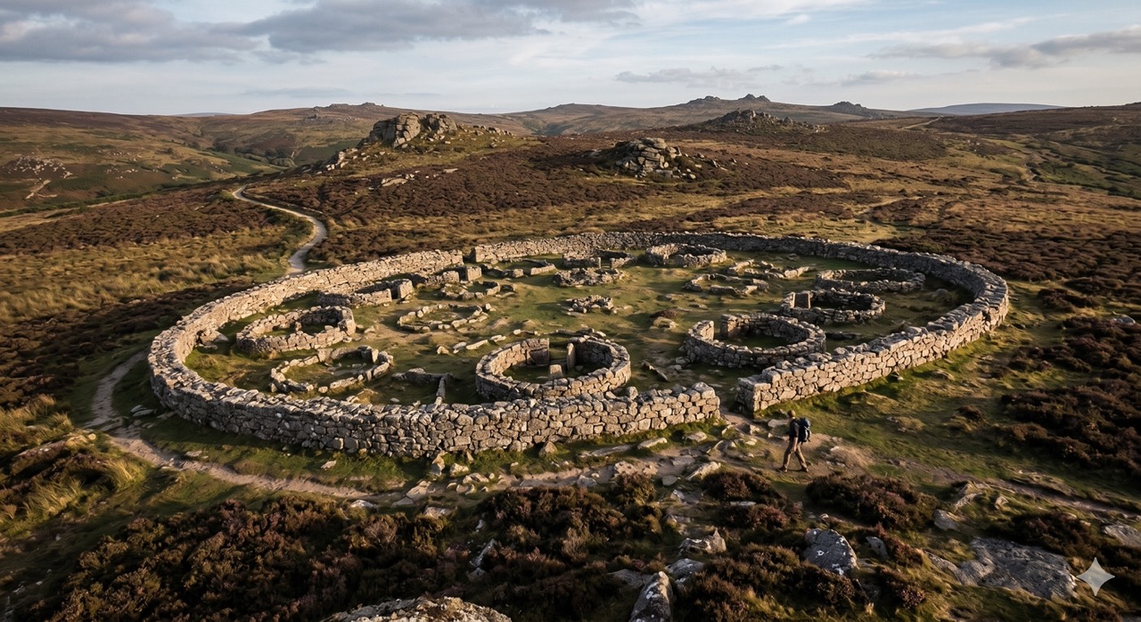
Grimspound Bronze Age Settlement Loop
Walk through a 3,000-year-old settlement in Dartmoor's wild heart.