

Best Walks Near Tavistock
The western edge of Dartmoor — river valleys, ancient woodland and open moor within minutes of town.
Tavistock sits on the western edge of Dartmoor, where the moor drops down into the deep wooded valleys of the River Tavy and the Walkham. It's an exceptional position for walking — town centre to open moorland in under 30 minutes on foot.
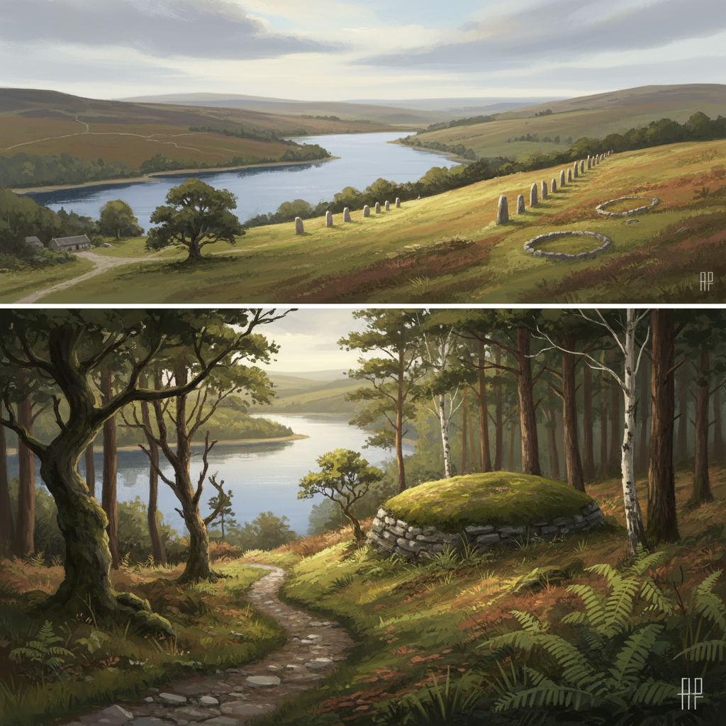
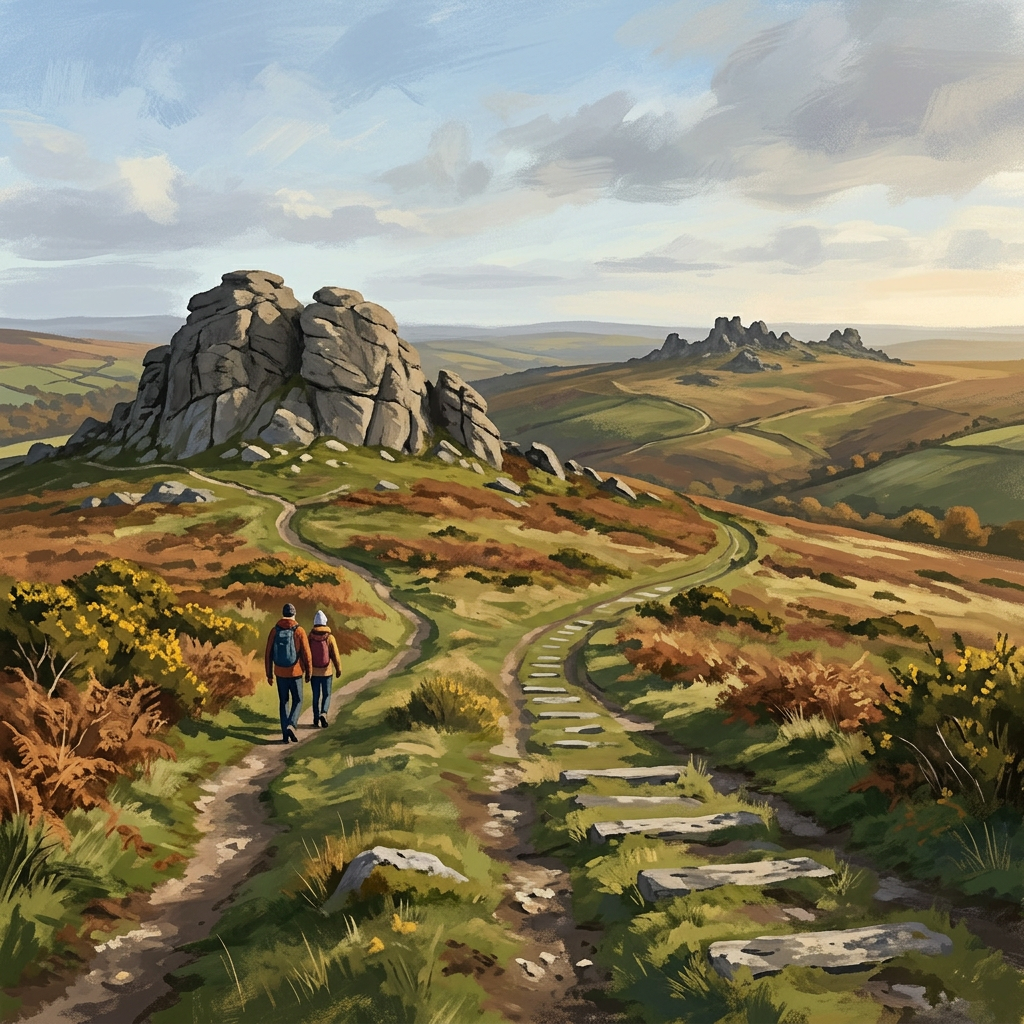
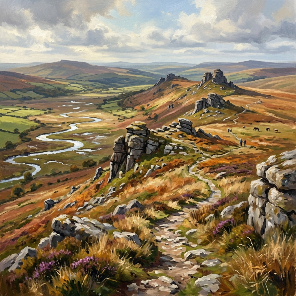
The western moor is quieter than the central areas around Haytor and Postbridge. You're more likely to have a tor to yourself, and the landscape feels wilder and less trafficked. Brent Tor is the standout landmark — a volcanic plug topped by a medieval church, visible for miles in every direction.
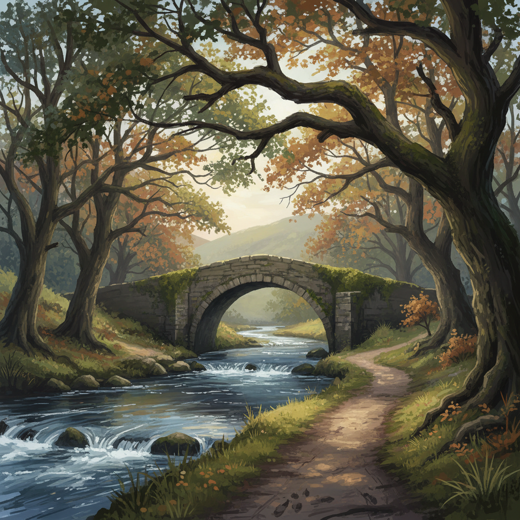
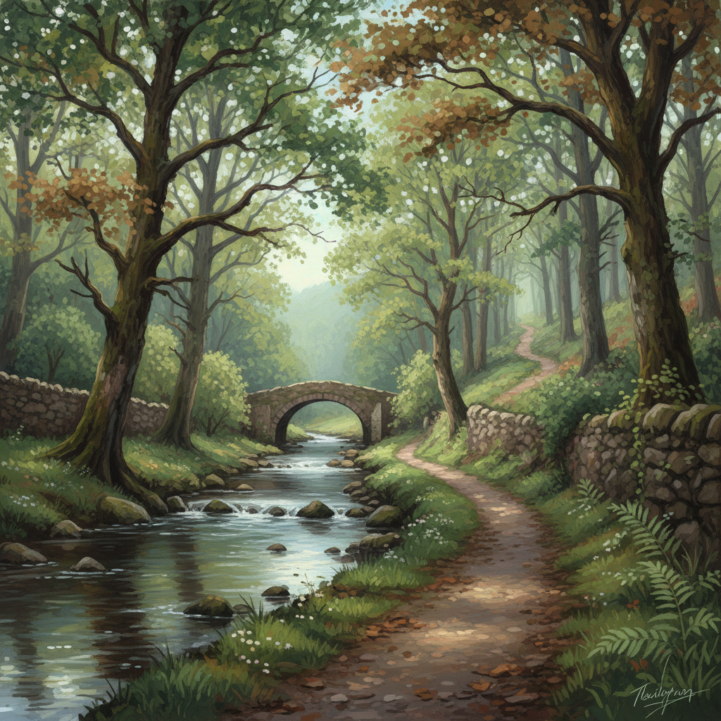
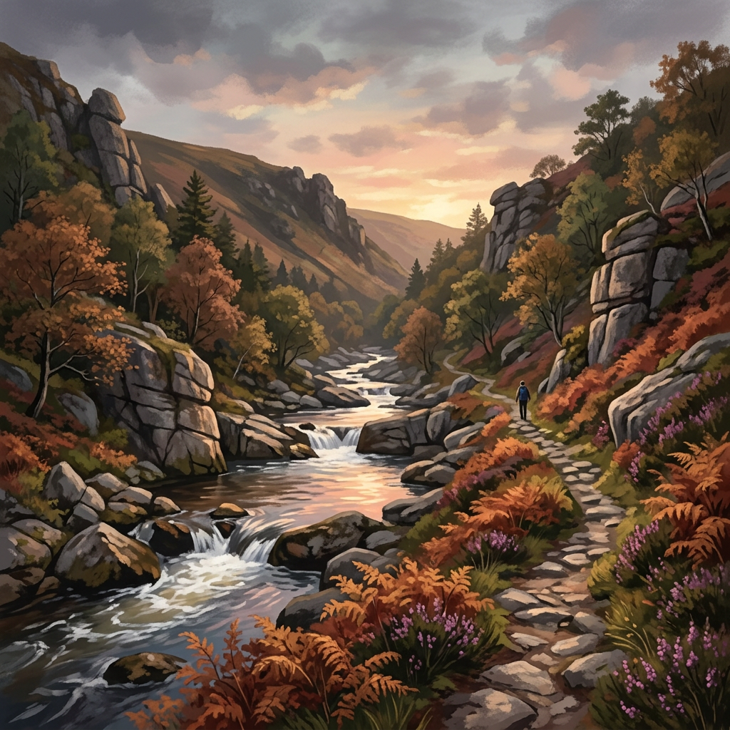
River walks along the Tavy and Walkham are excellent in any season and provide a good alternative when high-moor weather is bad.
Who this page is for
- People based in or visiting Tavistock who want walks accessible from the town itself
- Walkers looking for quieter alternatives to the busier eastern moor around Haytor and Dartmeet
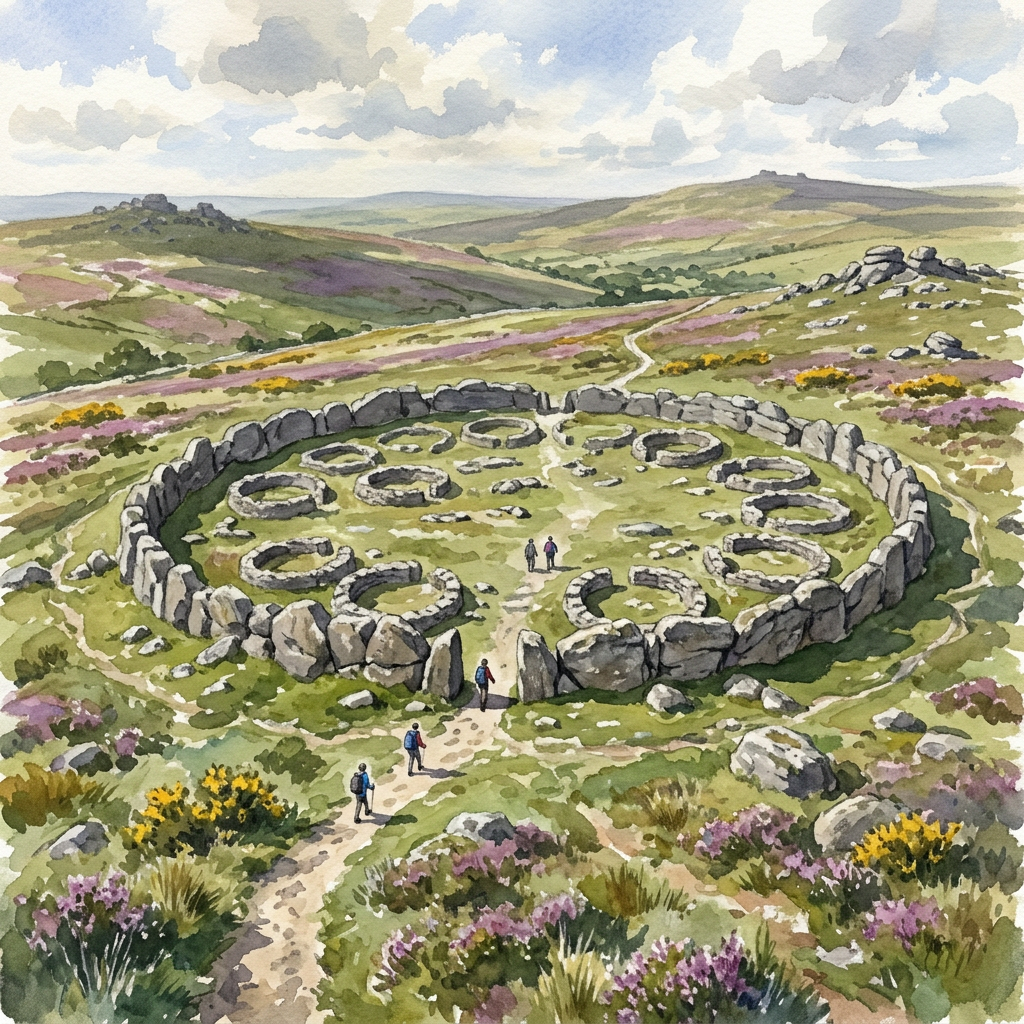
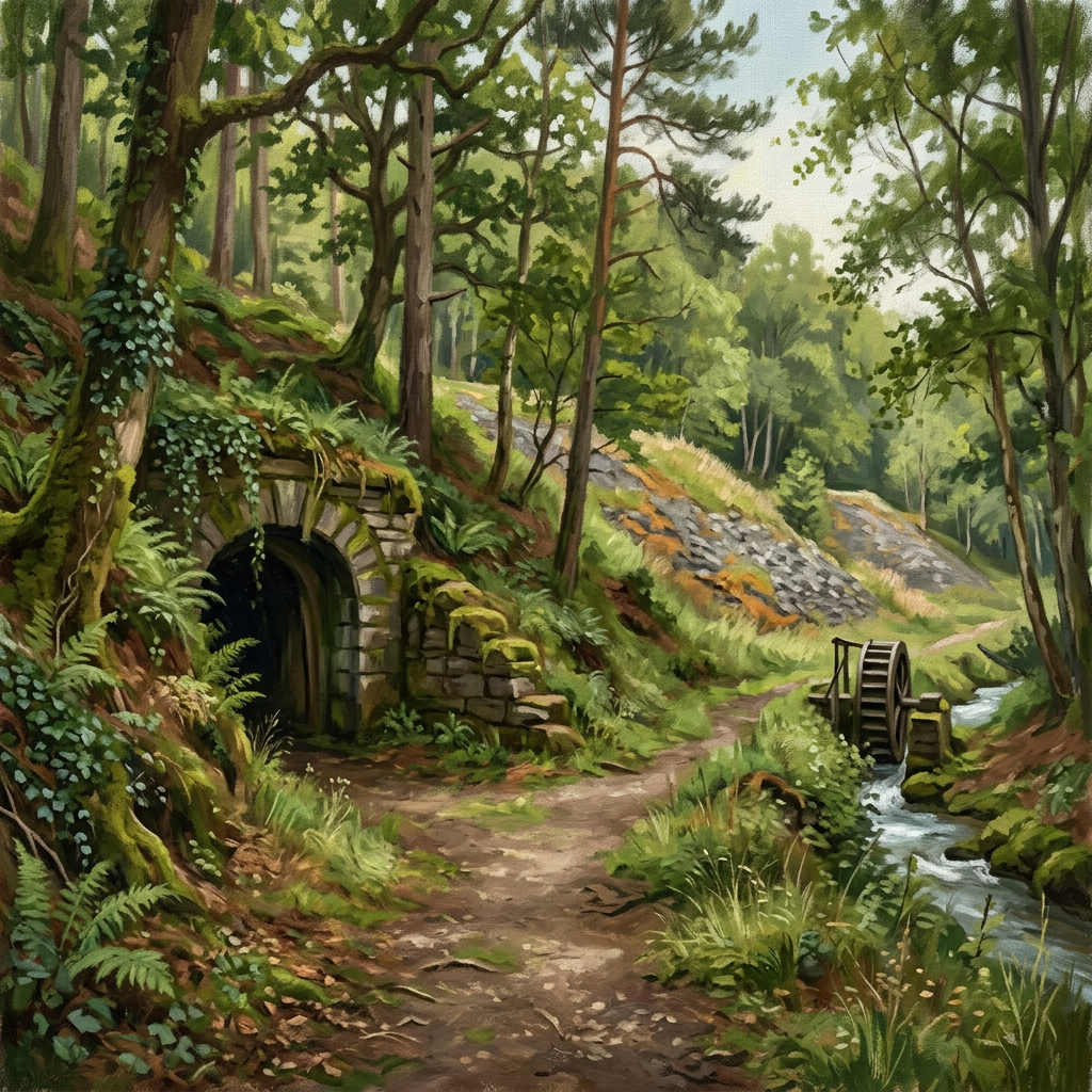
- Anyone interested in the distinctive industrial heritage of the western moor — old mine workings and the UNESCO World Heritage mining landscape
- Families wanting a mix of woodland, river and moorland in a single day
33 walks to explore






About this area
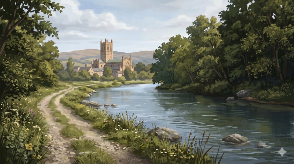
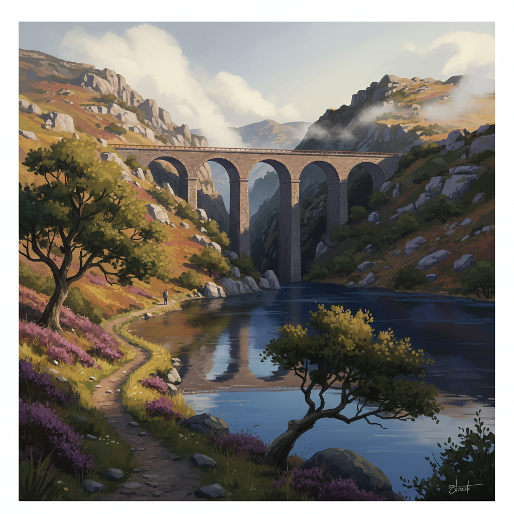
Tavistock is a market town with strong historical ties to the Duchy of Cornwall and the tin and copper mining that shaped the western moor. The medieval abbey ruins, pannier market and Victorian streets are worth exploring. The Tavistock Canal connects the town to Morwellham Quay — a restored Victorian port on the Tamar. The whole area is designated as a UNESCO World Heritage Site for its mining landscape.
Safety on this terrain
The Walkham gorge and Tavy valley have steep-sided sections where paths run close to drops. Keep children and dogs under close control near the river edges, especially after rain when banks are slippery. River crossings on informal paths can be impassable in flood conditions — check water levels if planning any river crossings.
When to go
Spring (Apr–May)
The Tavy valley is stunning with bluebells in late April. River levels still high — some crossings impassable after heavy rain.
Summer (Jun–Aug)
Valley walks offer shade on hot days. The moor above town is excellent in clear weather.
Autumn (Sep–Oct)
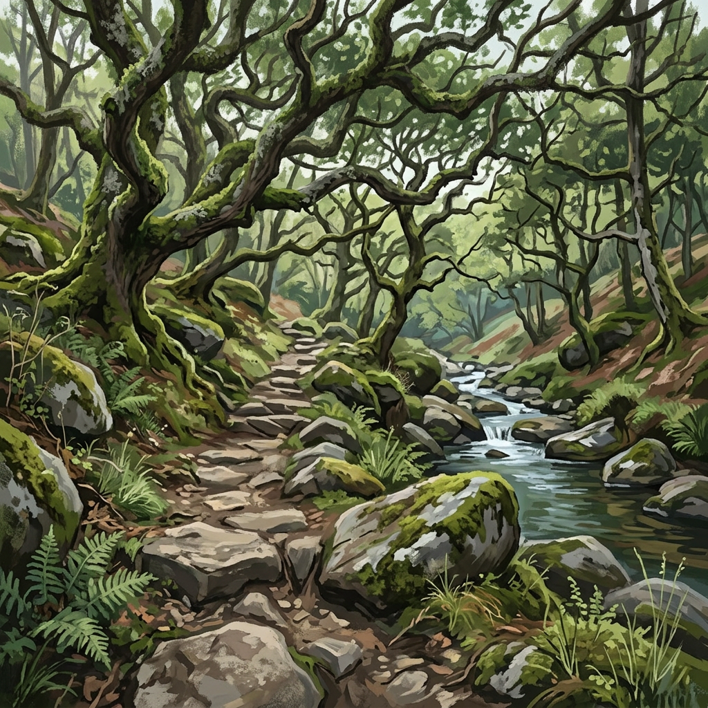
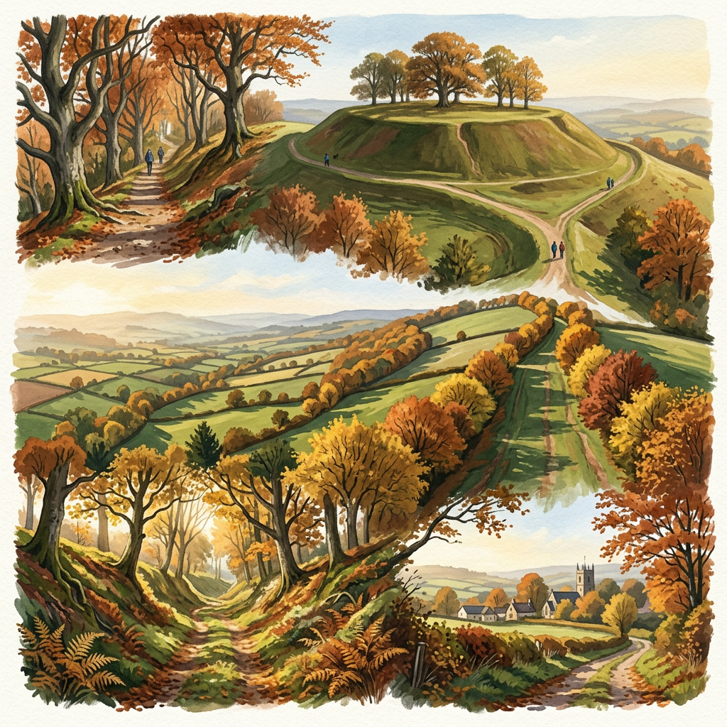
Woodland colour along the Walkham gorge is exceptional. One of the finest autumn walking areas in Devon.
Winter (Nov–Mar)
Valley paths remain walkable when the high moor is closed by weather.
Plan your visit
Use the interactive map to explore routes, check conditions, and plan your day across all three moors.
Open the map