
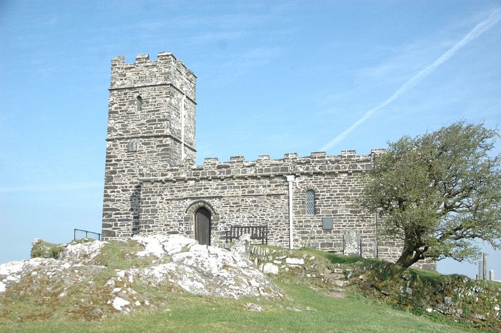
Walks in Dartmoor
Routes across England's last great wilderness — granite, bog, sky and silence.
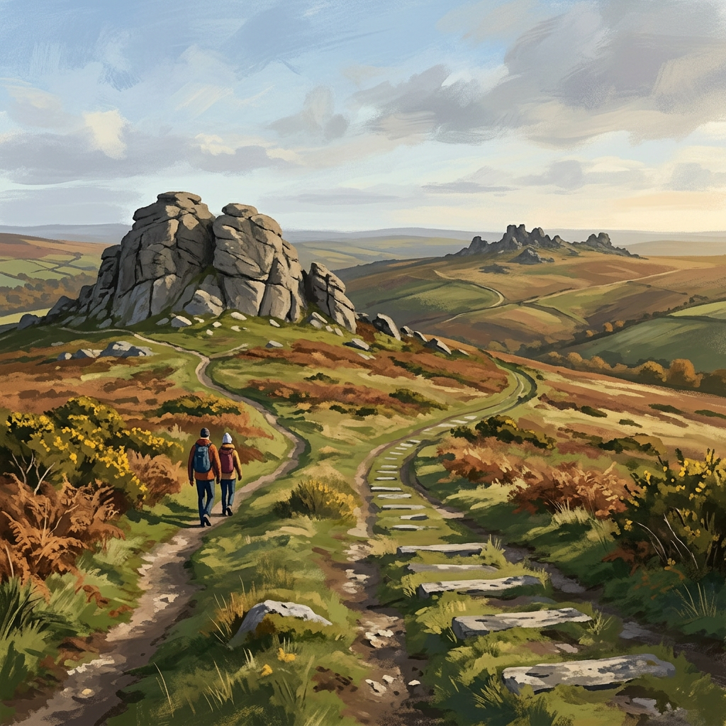
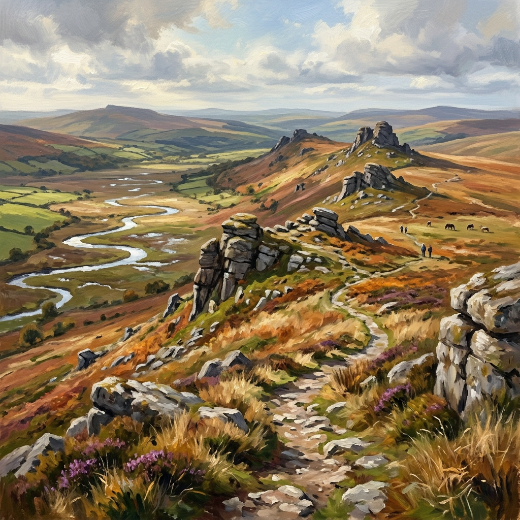
Dartmoor National Park covers 368 square miles of upland moorland in Devon. It's one of the few genuinely wild places left in southern England — somewhere you can walk for hours and see nothing but heather, granite tors and the occasional Dartmoor pony.
The walking here ranges from gentle riverside strolls to demanding high-moor crossings. The common thread is landscape: dramatic, uncompromising and unlike anywhere else in England.
All the routes below are on the moor proper. Not tourist car parks and easy loops — real Dartmoor, with real moorland underfoot.
Who this page is for
- Walkers who want landscape without crowds — Dartmoor rewards those willing to go beyond the car parks
- People visiting Devon who want to experience the wild upland interior rather than just the coast
- Anyone who wants to understand what makes this landscape different from anywhere else in England
- Experienced walkers planning multi-day routes or high-moor crossings
33 walks to explore
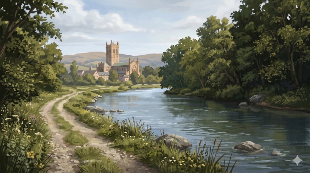
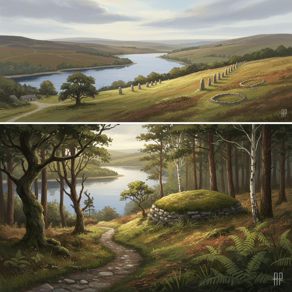
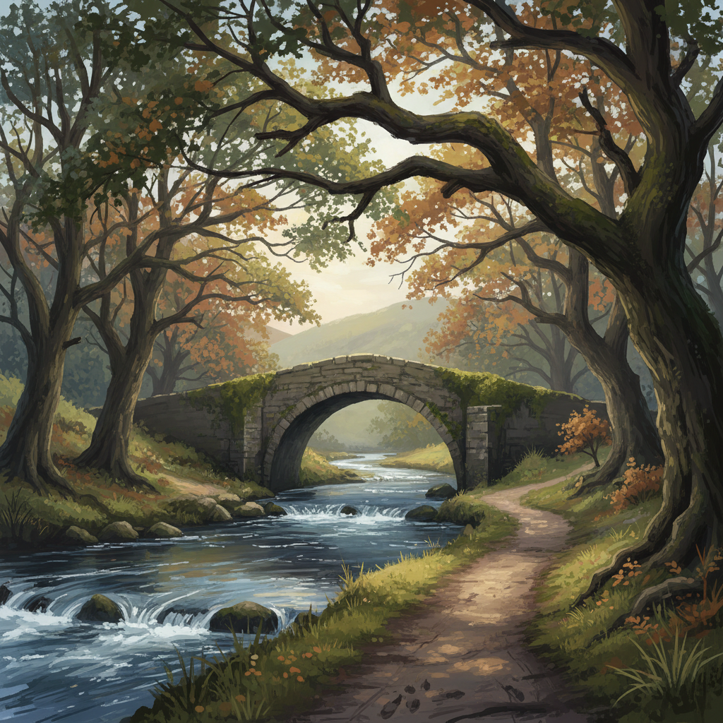
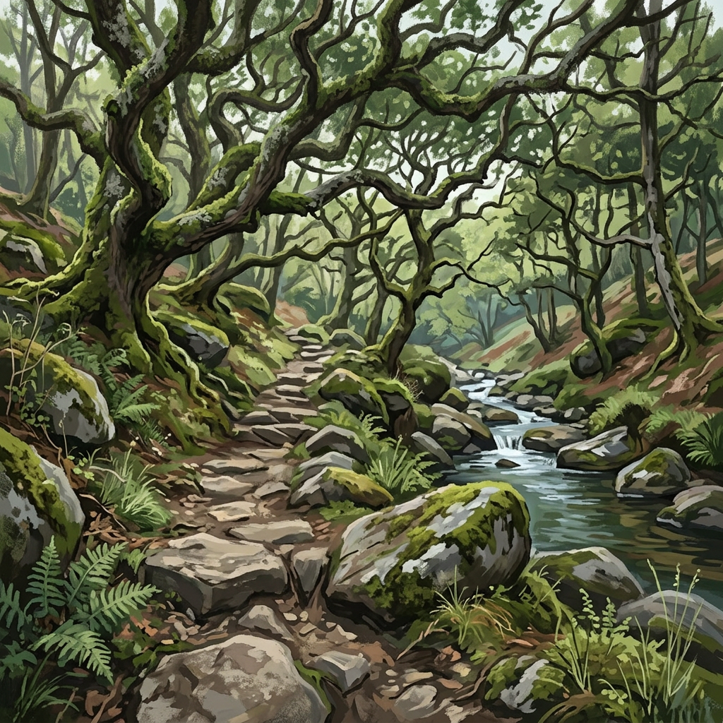

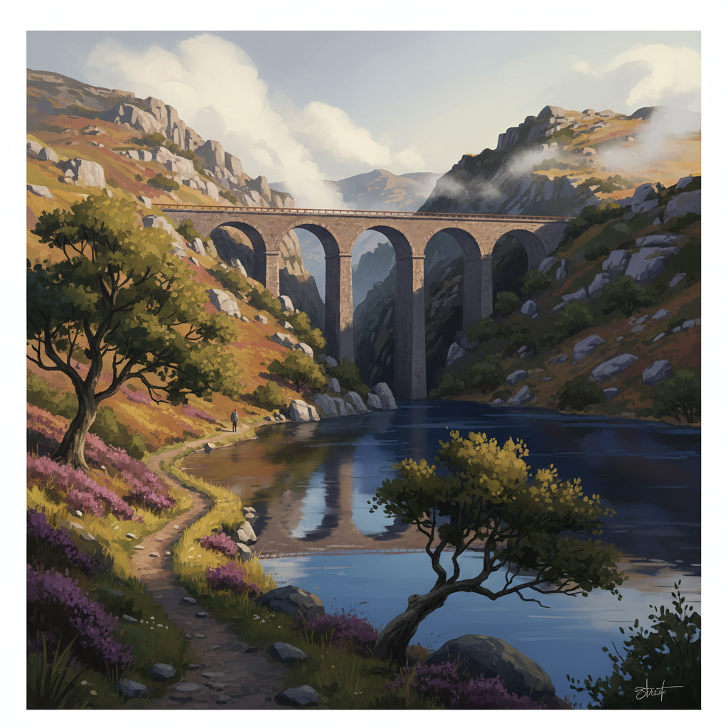
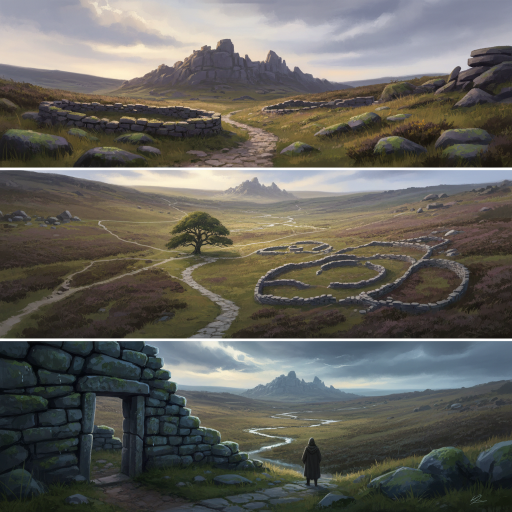
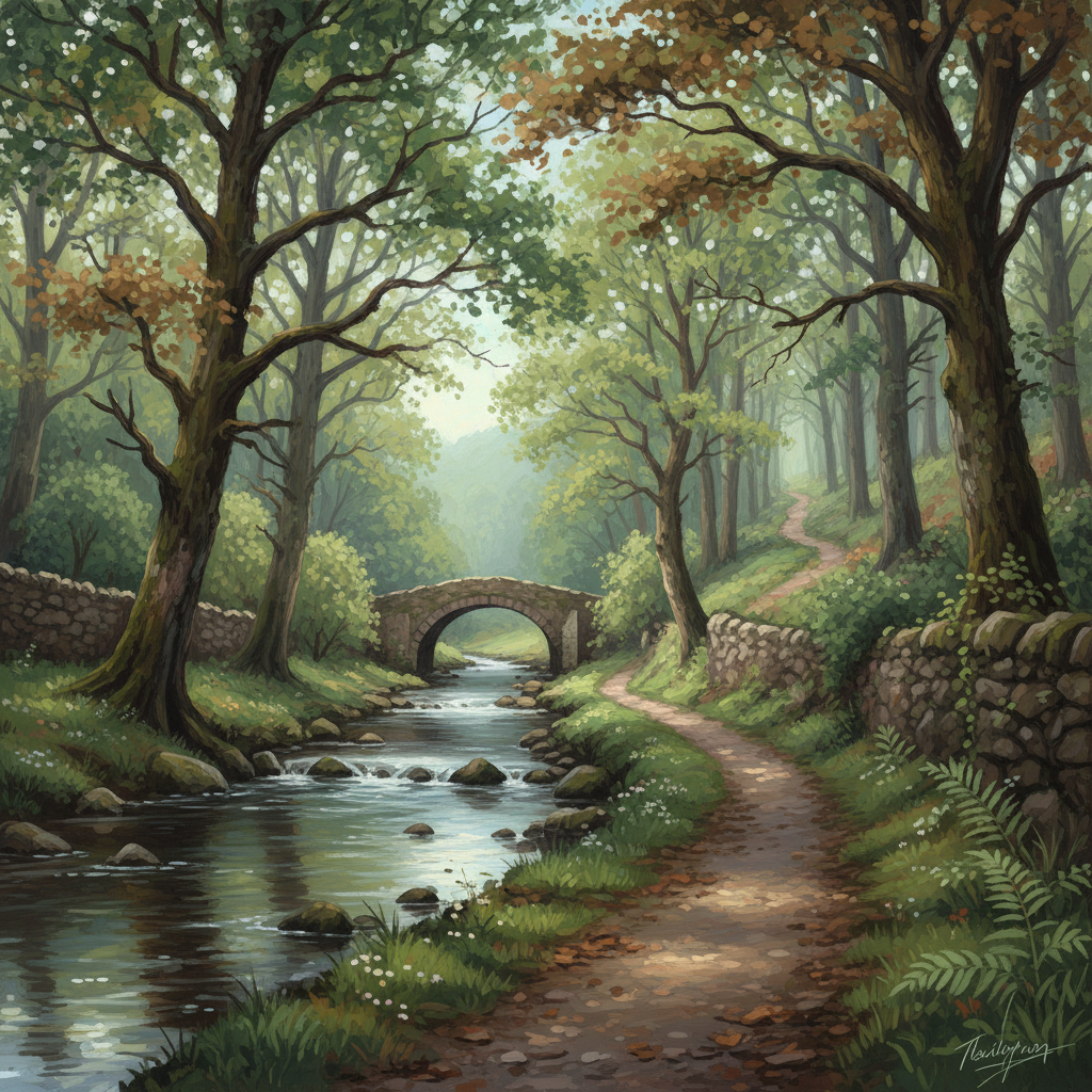




About this area
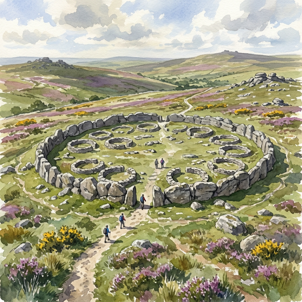
Dartmoor sits at the heart of Devon, bounded by Exeter to the east and Plymouth to the south. It's ancient landscape — Bronze Age settlers left stone circles and standing stones across the high moor. The highest point is High Willhays at 621m. Weather comes in fast from the Atlantic and conditions change quickly even in summer.
Safety on this terrain
Dartmoor's high moorland can change rapidly. Carry a paper map and compass even if using GPS — devices fail in poor visibility. Tell someone your route before heading onto the high moor. The Military Firing Range on the northern moor is active: check firing times before walking in the northern quarter.
When to go
Spring (Apr–May)
Bracken not yet up, so visibility and route-finding are at their best. Bluebells in the valley woodlands. Can still be cold on high ground.
Summer (Jun–Aug)
Long days and generally dry, but the high moor can be busy at weekends. Bracken is thick — stick to clear paths.
Autumn (Sep–Oct)
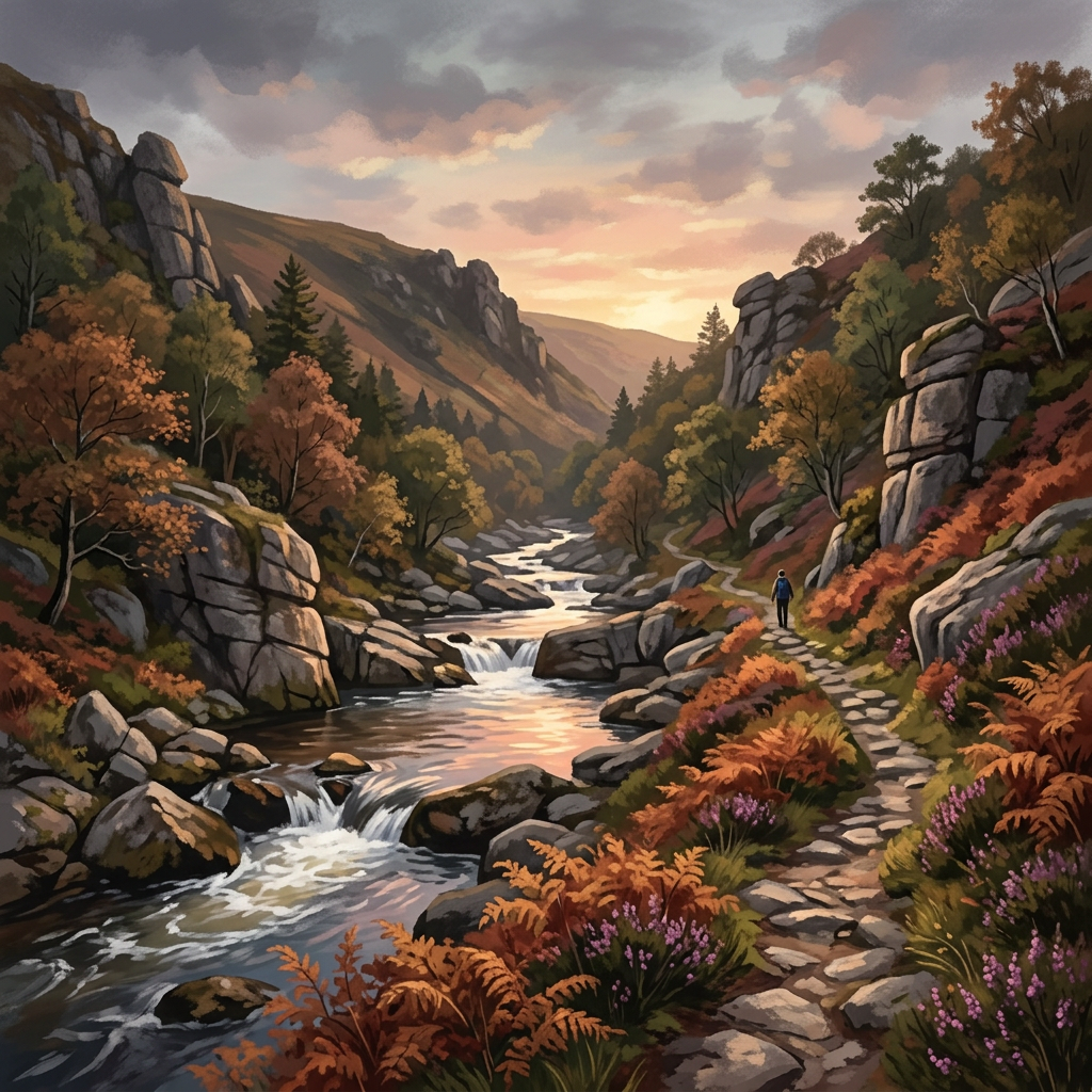
The best season. Low golden light, turning bracken, quieter paths. Rutting season for Dartmoor ponies.
Winter (Nov–Mar)
Cold, wet and often misty. Snow on the high tors isn't unusual. Navigation skills essential. The solitude is extraordinary.
Explore more
Plan your visit
Use the interactive map to explore routes, check conditions, and plan your day across all three moors.
Open the map